Ainsdale-on-Sea

Settlement in Lancashire

England

Ainsdale-on-Sea

Ex Toad Hall nightclub Sefton Council commissioned street artist Paul Curtis to create a mural featuring the local sand lizard
Ex Toad Hall nightclub Credit: Norman Caesar

Ainsdale-on-Sea is a picturesque coastal village located in the county of Lancashire, England. Situated approximately 12 miles north of the vibrant city of Liverpool, this small community is known for its stunning beach and rich natural surroundings. Ainsdale-on-Sea falls under the jurisdiction of the Metropolitan Borough of Sefton.

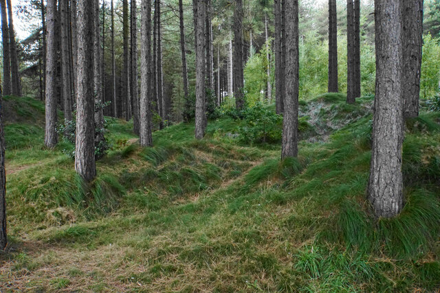
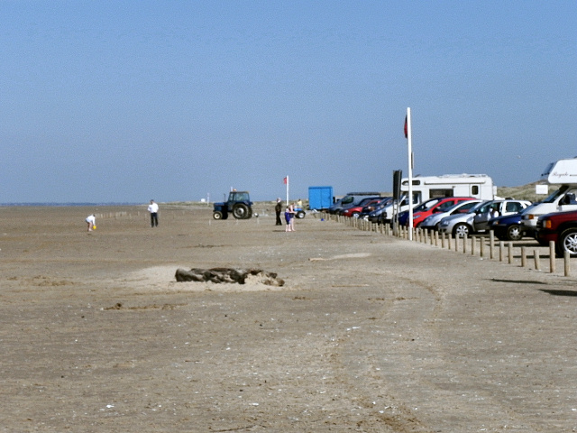
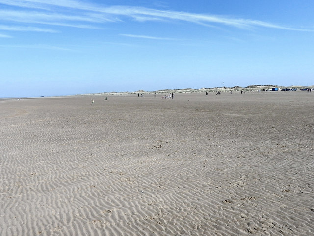
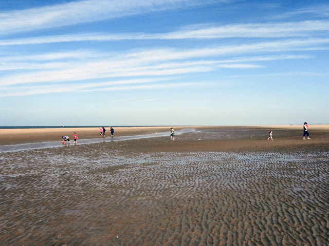
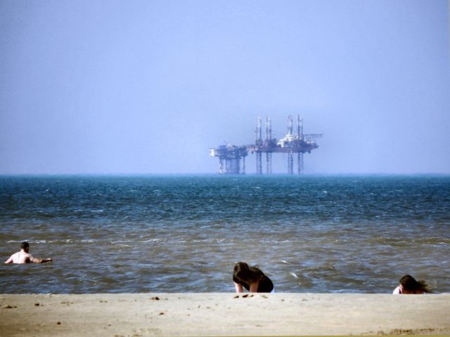
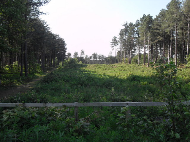
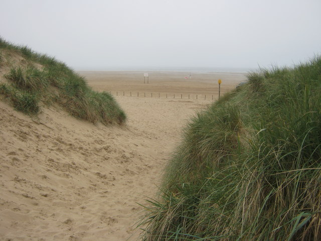
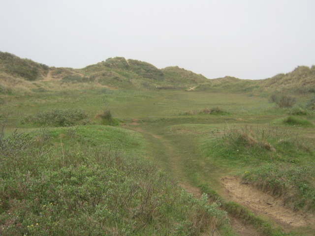
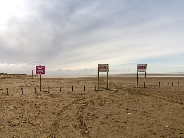
The village is best known for its expansive sandy beach, which stretches for miles along the Irish Sea. The beach is a popular destination for both locals and tourists, offering opportunities for various recreational activities such as swimming, sunbathing, and beach volleyball. Ainsdale-on-Sea's beach is also known for its sand dunes, which form an important habitat for several rare species of flora and fauna.

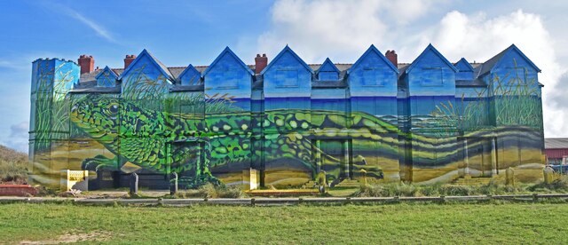
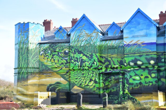
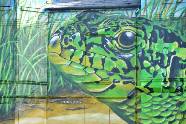
In addition to its natural beauty, Ainsdale-on-Sea offers a range of amenities and attractions for visitors. The village has a charming town center, featuring a selection of local shops, cafes, and restaurants. The nearby Ainsdale Village Park provides a green space for outdoor activities and hosts regular community events.

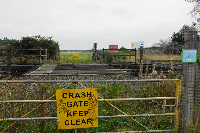
Ainsdale-on-Sea is well-connected to the rest of the region, with frequent train services to Liverpool and Southport. The village is also easily accessible by road, with the A565 passing through, providing convenient transportation links.

Overall, Ainsdale-on-Sea is a delightful seaside destination, offering a combination of natural beauty, recreational opportunities, and a close-knit community atmosphere.

If you have any feedback on the listing, please let us know in the comments section below.

Ainsdale-on-Sea Images

Images are sourced within 2km of 53.599737/-3.0743444 or Grid Reference SD2912. Thanks to Geograph Open Source API. All images are credited.

Ex Toad Hall nightclub Sefton Council commissioned street artist Paul Curtis to create a mural featuring the local sand lizard
Ex Toad Hall nightclub
Sefton Council commissioned street artist Paul Curtis to create a mural featuring the local sand lizard
Ex Toad Hall nightclub detail Sefton Council commissioned street artist Paul Curtis to create a mural featuring the local sand lizard
Ex Toad Hall nightclub detail
Sefton Council commissioned street artist Paul Curtis to create a mural featuring the local sand lizard
Ex Toad Hall nightclub detail Sefton Council commissioned street artist Paul Curtis to create a mural featuring the local sand lizard
Ex Toad Hall nightclub detail
Sefton Council commissioned street artist Paul Curtis to create a mural featuring the local sand lizard
Crash Gate No. 5 Access in case of emergency to RAF Woodvale across the railway.
Crash Gate No. 5
Access in case of emergency to RAF Woodvale across the railway.
Pine-covered dunes Part of the Ainsdale Sand Dunes National Nature Reserve.
Pine-covered dunes
Part of the Ainsdale Sand Dunes National Nature Reserve.
Ainsdale Beach Car Park
Ainsdale Beach
Ainsdale Beach
Ainsdale Sands
Ainsdale Sands
The Irish Sea From Ainsdale Sands Looking out across the Irish Sea from Ainsdale Sands. A drilling rig is in the distance.
The Irish Sea From Ainsdale Sands
Looking out across the Irish Sea from Ainsdale Sands. A drilling rig is in the distance.
Ainsdale Nature Reserve
Path to Beach from Ainsdale Discovery Centre
Path in Ainsdale Hills
Woodland Path looking north
Wreck along the coast between Formby and Ainsdale This was low tide on the day and the position was confirmed by GPS. This would appear to be the so-called Mussel Wreck, so named because no one is certain of its identity.
Wreck along the coast between Formby and Ainsdale
This was low tide on the day and the position was confirmed by GPS. This would appear to be the so-called Mussel Wreck, so named because no one is certain of its identity.
Looking north along the low tideline on the beach between Formby and Ainsdale This was low tide on this date, with the position confirmed by GPS.
Looking north along the low tideline on the beach between Formby and Ainsdale
This was low tide on this date, with the position confirmed by GPS.
The beach between Formby and Ainsdale at low tide Position confirmed by GPS.
The beach between Formby and Ainsdale at low tide
Position confirmed by GPS.
Ainsdale Sands Extensive sands at Ainsdale, which stretch to Crosby southwards, and beyond Blackpool to the north.
Ainsdale Sands
Extensive sands at Ainsdale, which stretch to Crosby southwards, and beyond Blackpool to the north.
Beach signage Information signs on the beach at Ainsdale on Sea.
Beach signage
Information signs on the beach at Ainsdale on Sea.
Show me another place!

Ainsdale-on-Sea is located at Grid Ref: SD2912 (Lat: 53.599737, Lng: -3.0743444)

Unitary Authority: Sefton

Police Authority: Merseyside

What 3 Words

///nerves.official.cowboys. Near Formby, Merseyside

Nearby Locations

Ainsdale-on-Sea

Related Wikis

Ainsdale Beach railway station

Ainsdale Beach was a railway station located in Ainsdale, Merseyside, England. == History == The Southport & Cheshire Lines Extension Railway (SCLER) opened...

Sefton Coast

Sefton Coast is a 4605.3 hectare (11379.9 acre) Site of special scientific interest which stretches for 12 miles (20 km) between Southport and Waterloo...

Ainsdale railway station

Ainsdale railway station serves the village of Ainsdale near Southport, England. The station is located on the Southport branch of the Merseyrail network...

Ainsdale (ward)

Ainsdale is a Metropolitan Borough of Sefton ward in the Southport Parliamentary constituency that covers the localities of Ainsdale and Woodvale in the...

Nearby Amenities

Located within 500m of 53.599737,-3.0743444
Source: PGS
Lat/Long: 53.6013132/-3.0705196
Source: PGS
Lat/Long: 53.6001451/-3.0719021
Source: PGS
Lat/Long: 53.5989929/-3.0730633
Source: PGS
Lat/Long: 53.5958509/-3.0762769
The data included in this document is from www.openstreetmap.org. The data is made available under ODbL.

Have you been to Ainsdale-on-Sea?

Leave your review of Ainsdale-on-Sea below (or comments, questions and feedback).