Green, The
Settlement in Bedfordshire
England
Green, The
Green, The, Bedfordshire, is a small village located in the county of Bedfordshire, England. Situated in the heart of the English countryside, it is approximately 10 miles southeast of the town of Bedford. The village is known for its picturesque surroundings and tranquil atmosphere.
The Green, as it is commonly referred to by locals, is characterized by its charming cottages and well-maintained gardens. It is a close-knit community that prides itself on its strong sense of community spirit. The residents of The Green often come together for various events and activities, fostering a friendly and welcoming environment for both residents and visitors alike.
The village is home to a number of amenities, including a village hall, a local pub, and a primary school. The village hall serves as a central hub for social gatherings and events, hosting everything from community meetings to celebrations. The local pub, known as The Green Inn, offers a cozy atmosphere and serves traditional English food and beverages.
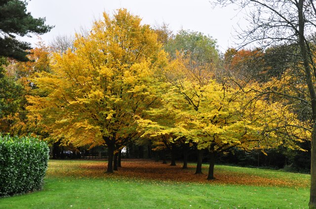
Surrounded by rolling hills and fields, The Green offers numerous opportunities for outdoor activities such as hiking, cycling, and horse riding. The nearby countryside provides beautiful vistas and ample space for nature enthusiasts to explore.
In summary, The Green, Bedfordshire, is a charming village that offers a peaceful and idyllic setting. With its strong sense of community and beautiful countryside, it is a place that attracts those seeking a tranquil and close-knit community atmosphere.
If you have any feedback on the listing, please let us know in the comments section below.
Green, The Images
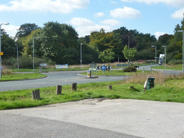
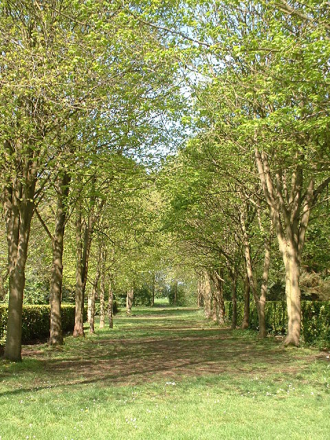
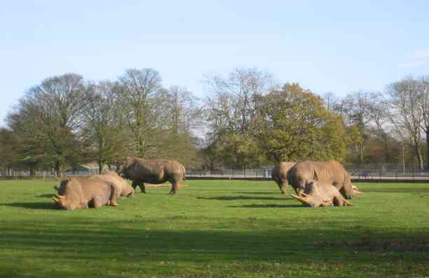
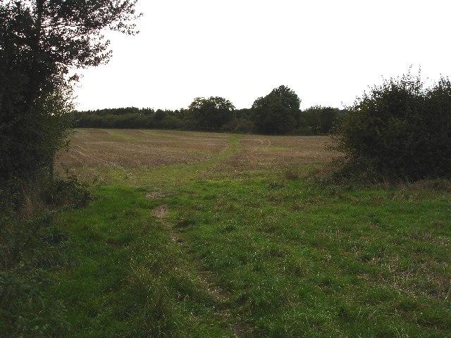
Images are sourced within 2km of 51.842658/-0.5498417 or Grid Reference TL0017. Thanks to Geograph Open Source API. All images are credited.


Green, The is located at Grid Ref: TL0017 (Lat: 51.842658, Lng: -0.5498417)
Unitary Authority: Central Bedfordshire
Police Authority: Bedfordshire
What 3 Words
///rekindle.rapport.showcase. Near Kensworth, Bedfordshire
Nearby Locations
Related Wikis
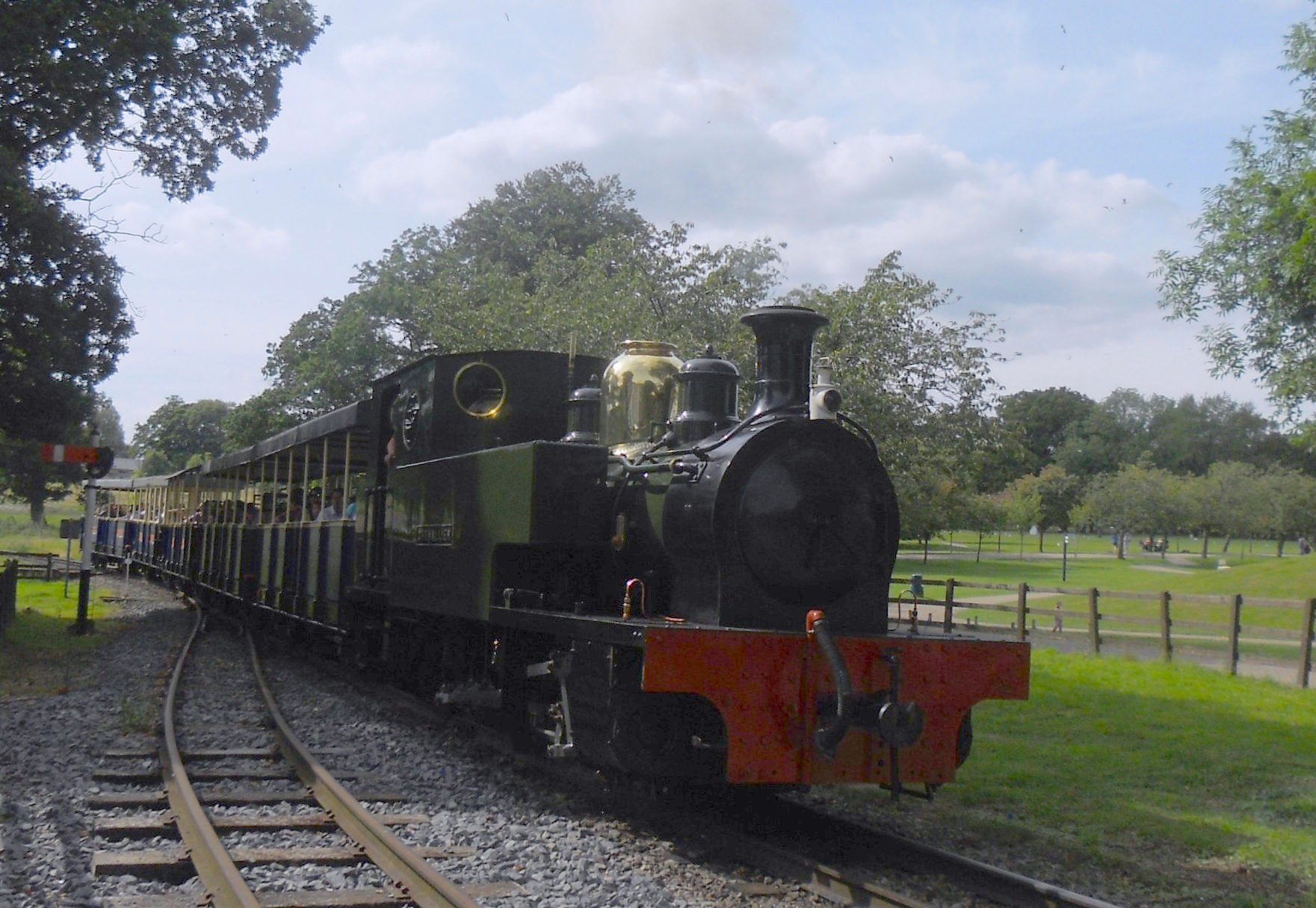
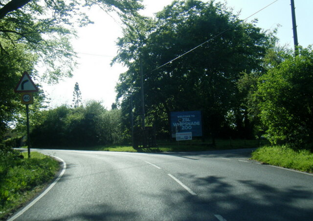
Great Whipsnade Railway
The Great Whipsnade Railway, also known as The Jumbo Express, is an English, 2 ft 6 in (762 mm) narrow gauge heritage railway that operates within ZSL...

Whipsnade Zoo
Whipsnade Zoo, formerly known as ZSL Whipsnade Zoo and Whipsnade Wild Animal Park, is a zoo and safari park located at Whipsnade, near Dunstable in Bedfordshire...

Dagnall
Dagnall is a village in the parish of Edlesborough, in Buckinghamshire, England. The place name is derived from the Old English for "Daegga's Knoll". In...

Whipsnade
Whipsnade is a small village and civil parish in Bedfordshire, England. It lies on the eastward tail spurs of the Chiltern Hills, about 2+1⁄2 miles (4...

Whipsnade Tree Cathedral
Whipsnade Tree Cathedral is a 9.5-acre (3.8 ha) garden in the village of Whipsnade in Bedfordshire, England. It is planted in the approximate form of a...
Sallowsprings
Sallowsprings is a 1.3-hectare (3.2-acre) nature reserve in Whipsnade in Bedfordshire. It is managed by the Wildlife Trust for Bedfordshire, Cambridgeshire...

Holywell, Bedfordshire
Holywell is a hamlet located in the Central Bedfordshire district of Bedfordshire, England. The settlement is close to Whipsnade and Studham, and Holywell...

Roman Catholic Diocese of Arundel and Brighton
The Diocese of Arundel and Brighton (Latin: Dioecesis Arundeliensis-Brichtelmestunensis) is a Latin diocese of the Catholic Church in southern England...
Nearby Amenities
Located within 500m of 51.842658,-0.5498417Have you been to Green, The?
Leave your review of Green, The below (or comments, questions and feedback).