Flint Pit Paddock
Wood, Forest in Bedfordshire
England
Flint Pit Paddock
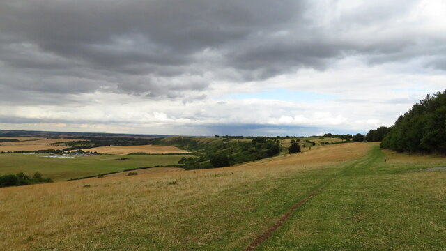
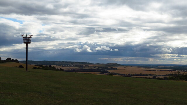
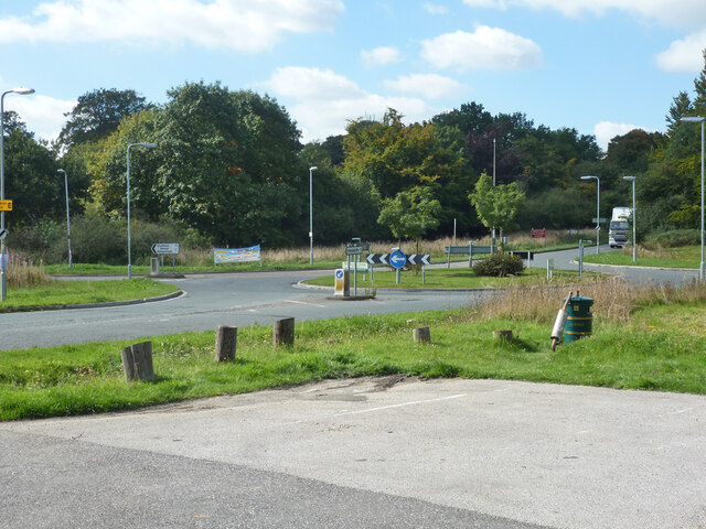
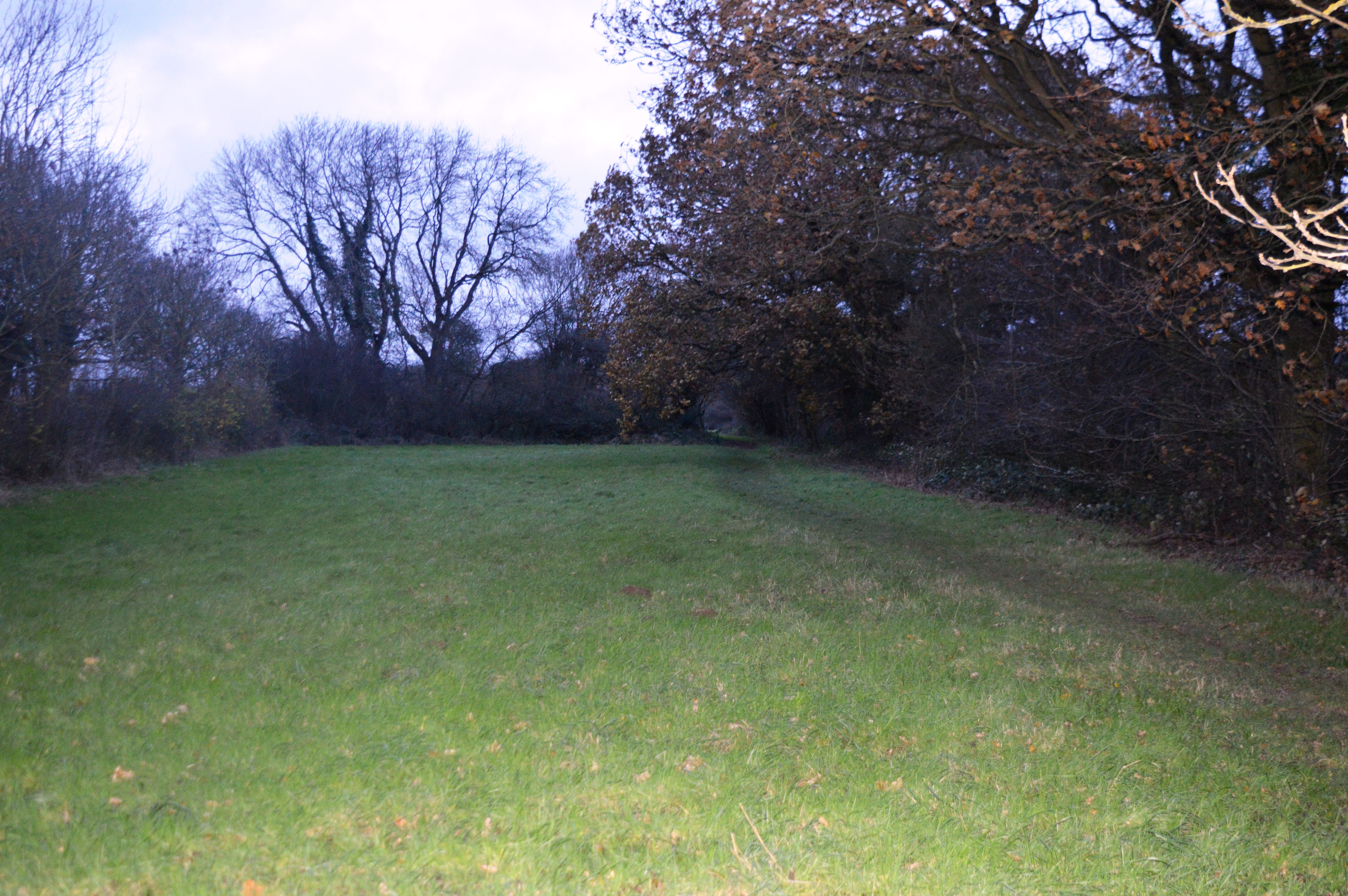
Flint Pit Paddock is a picturesque woodland located in Bedfordshire, England. Situated in the heart of the county, the woodland is known for its natural beauty and diverse ecosystem. Covering an area of approximately 200 acres, Flint Pit Paddock is a haven for nature enthusiasts and outdoor lovers.
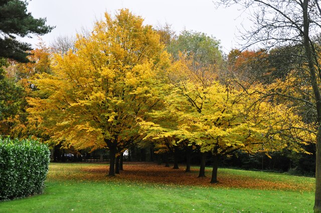
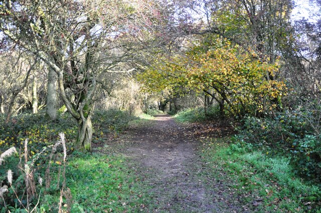
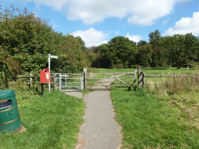
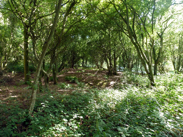
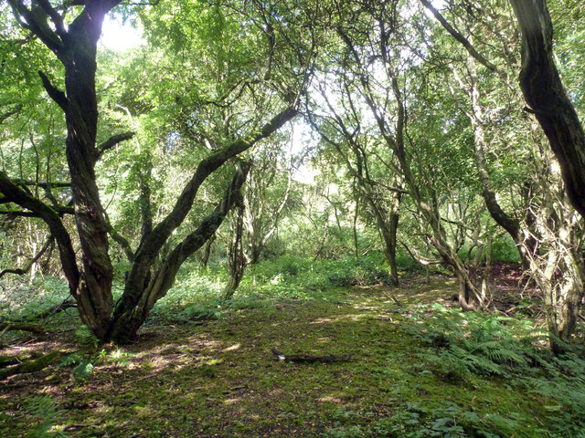
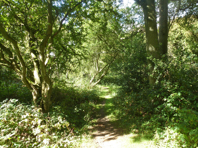
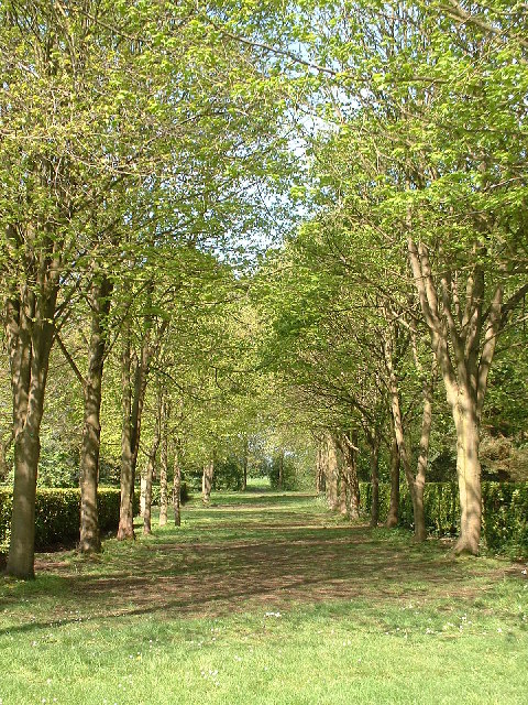
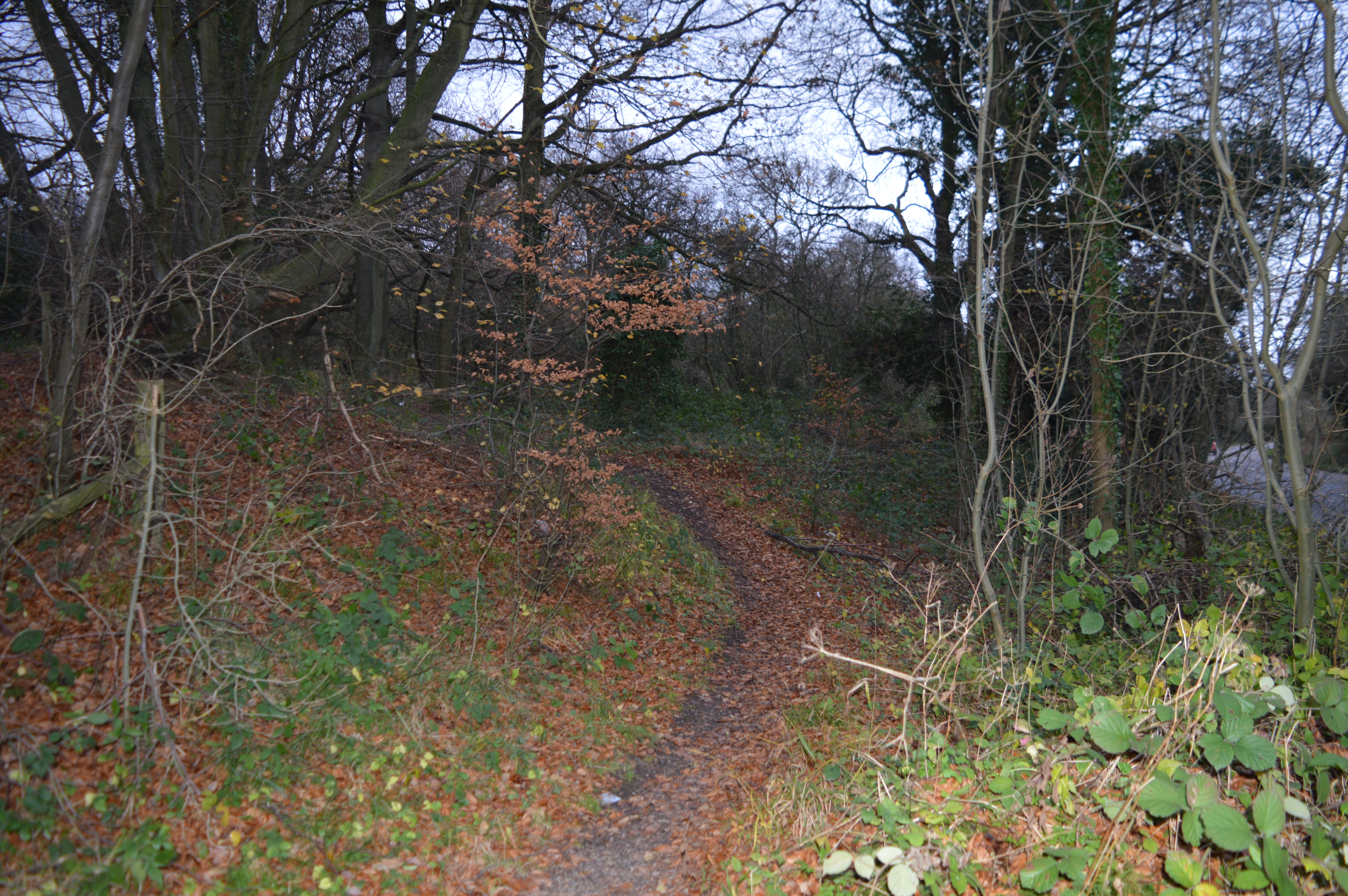
The woodland is characterized by its dense tree cover, consisting primarily of native species such as oak, ash, and beech. These majestic trees provide a habitat for a wide range of wildlife, including various bird species, small mammals, and insects. Additionally, the woodland features a network of well-maintained footpaths, allowing visitors to explore the area and appreciate its tranquility.
One of the notable features of Flint Pit Paddock is its history as a former flint quarry. The site was actively mined for flint during the 19th century, leaving behind remnants of the industrial past. These historical artifacts serve as a reminder of the area's heritage and add an interesting dimension to the woodland experience.
Flint Pit Paddock also offers recreational opportunities for visitors. The woodland is a popular destination for walking, jogging, and cycling, with designated trails catering to different levels of fitness and ability. Moreover, the woodland is equipped with picnic areas and benches, providing a perfect spot for a relaxing break amidst nature.
Overall, Flint Pit Paddock is a cherished natural asset in Bedfordshire, offering a peaceful retreat for both locals and tourists. Its combination of natural beauty, wildlife diversity, and historical significance makes it an ideal destination for those seeking a connection with nature and a glimpse into the region's past.
If you have any feedback on the listing, please let us know in the comments section below.
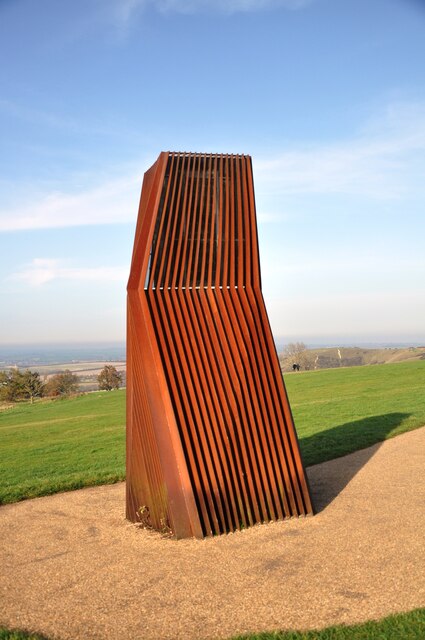
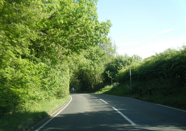
Flint Pit Paddock Images
Images are sourced within 2km of 51.850094/-0.54910912 or Grid Reference TL0017. Thanks to Geograph Open Source API. All images are credited.


Flint Pit Paddock is located at Grid Ref: TL0017 (Lat: 51.850094, Lng: -0.54910912)
Unitary Authority: Central Bedfordshire
Police Authority: Bedfordshire
What 3 Words
///coder.patrolled.rainfall. Near Kensworth, Bedfordshire
Nearby Locations
Related Wikis
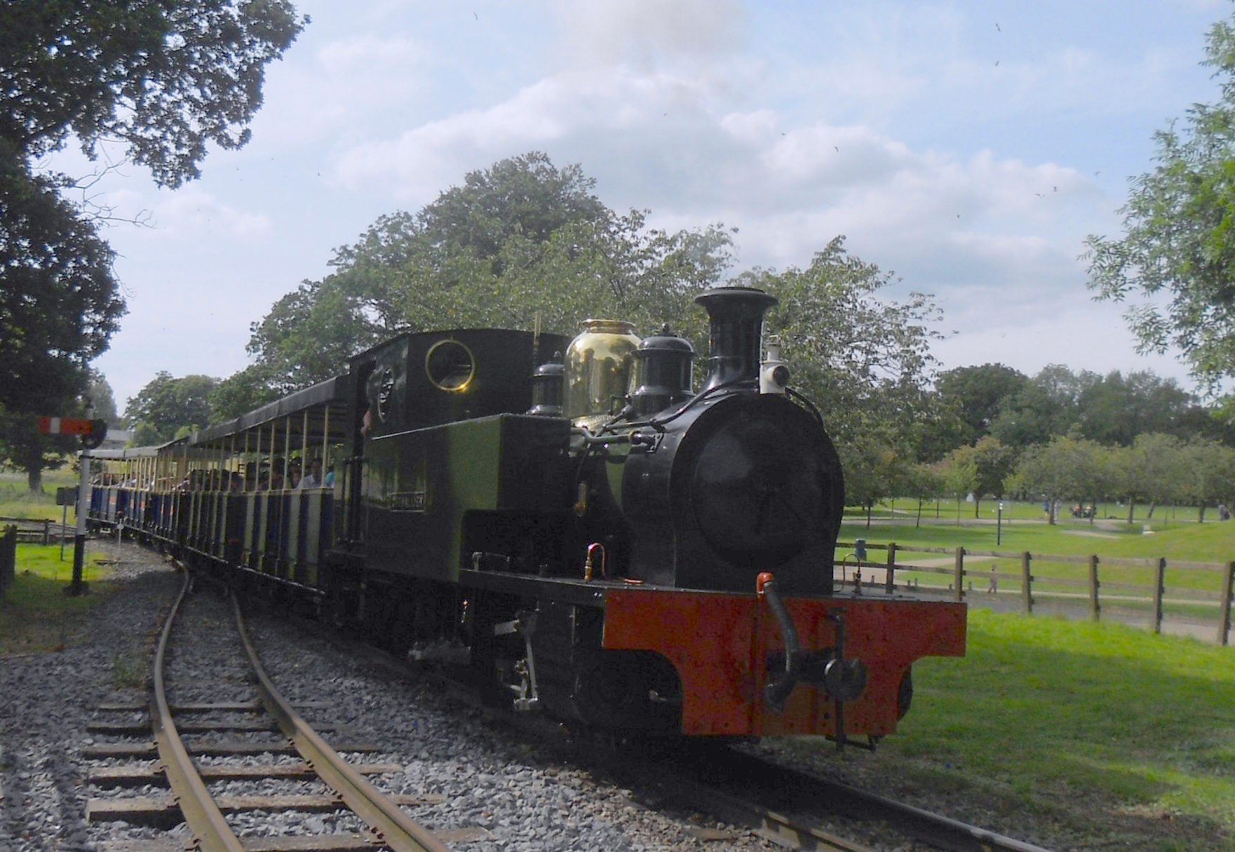
Great Whipsnade Railway
The Great Whipsnade Railway, also known as The Jumbo Express, is an English, 2 ft 6 in (762 mm) narrow gauge heritage railway that operates within ZSL...

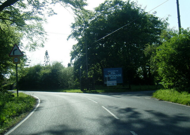
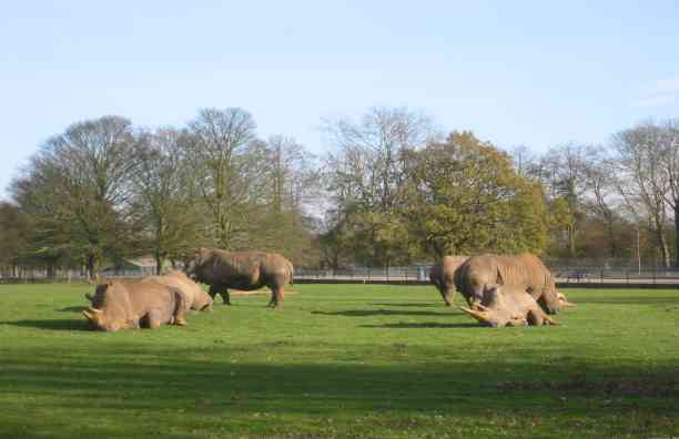
Whipsnade Zoo
Whipsnade Zoo, formerly known as ZSL Whipsnade Zoo and Whipsnade Wild Animal Park, is a zoo and safari park located at Whipsnade, near Dunstable in Bedfordshire...

Whipsnade Tree Cathedral
Whipsnade Tree Cathedral is a 9.5-acre (3.8 ha) garden in the village of Whipsnade in Bedfordshire, England. It is planted in the approximate form of a...

Roman Catholic Diocese of Arundel and Brighton
The Diocese of Arundel and Brighton (Latin: Dioecesis Arundeliensis-Brichtelmestunensis) is a Latin diocese of the Catholic Church in southern England...
Sallowsprings
Sallowsprings is a 1.3-hectare (3.2-acre) nature reserve in Whipsnade in Bedfordshire. It is managed by the Wildlife Trust for Bedfordshire, Cambridgeshire...

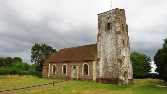
Whipsnade
Whipsnade is a small village and civil parish in Bedfordshire, England. It lies on the eastward tail spurs of the Chiltern Hills, about 2+1⁄2 miles (4...

Holywell, Bedfordshire
Holywell is a hamlet located in the Central Bedfordshire district of Bedfordshire, England. The settlement is close to Whipsnade and Studham, and Holywell...
Landpark Wood
Landpark Wood is a 3.6-hectare (8.9-acre) nature reserve near Whipsnade in Bedfordshire. It is managed by the Wildlife Trust for Bedfordshire, Cambridgeshire...
Nearby Amenities
Located within 500m of 51.850094,-0.54910912Have you been to Flint Pit Paddock?
Leave your review of Flint Pit Paddock below (or comments, questions and feedback).