Dagnall Paddock
Downs, Moorland in Bedfordshire
England
Dagnall Paddock
Dagnall Paddock is a picturesque area located in the county of Bedfordshire, England. Situated amidst the stunning Downs and Moorland landscape, Dagnall Paddock offers visitors a tranquil and serene environment to explore and enjoy.
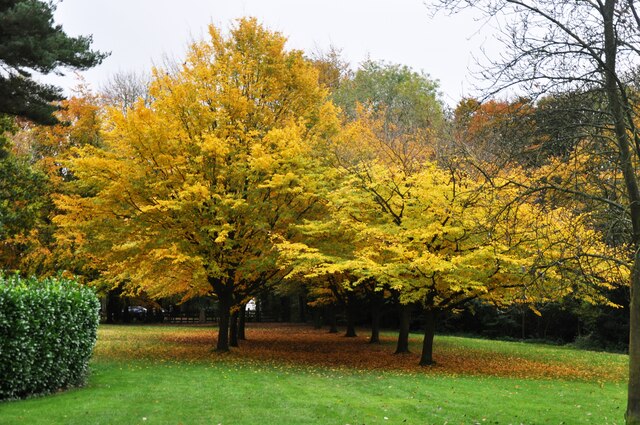
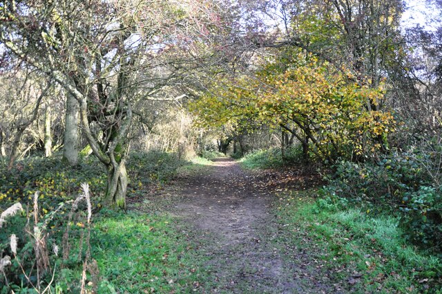
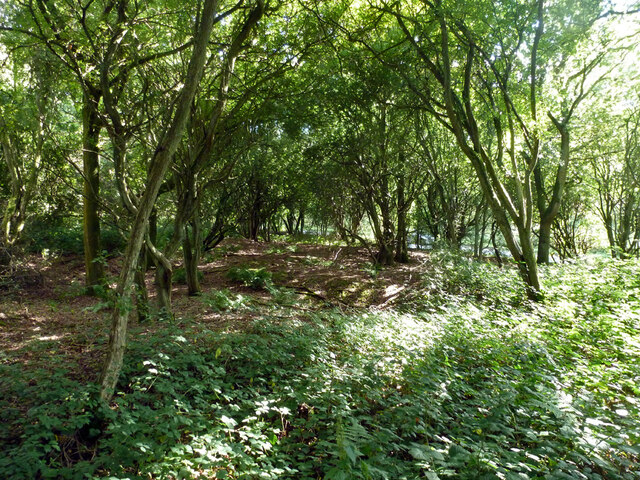
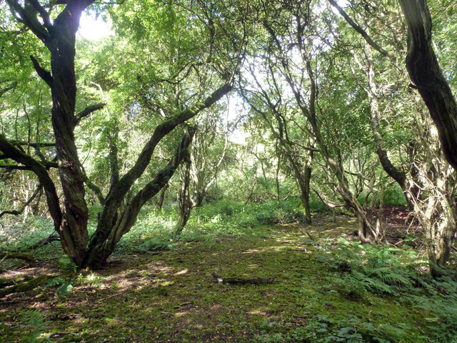
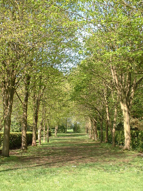
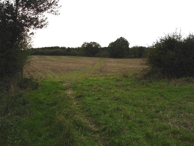
Covering an expansive area, the paddock is characterized by its rolling hills, lush green fields, and scattered woodlands. The landscape is dotted with various flora and fauna, creating a rich and diverse ecosystem. Visitors can expect to see an array of wildflowers, such as bluebells and primroses, during the spring season, while autumn brings vibrant colors as the leaves change.
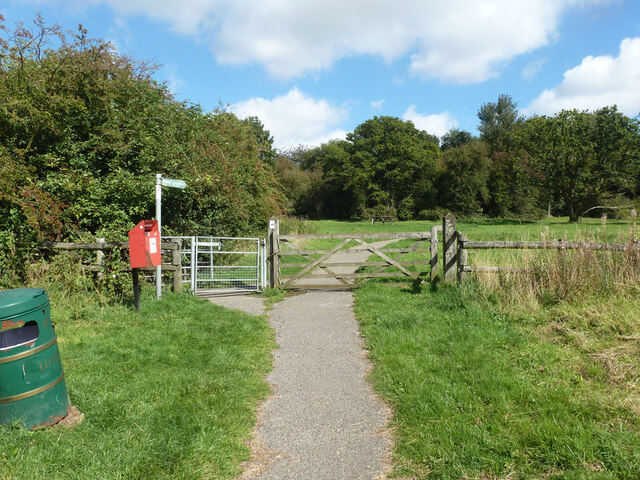
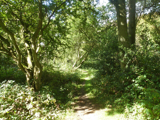
The paddock is known for its network of footpaths and trails, making it a popular destination for outdoor enthusiasts. Hiking and walking opportunities abound, allowing visitors to immerse themselves in the natural beauty of the area. The trails offer breathtaking views of the surrounding countryside, providing ample opportunities for photography and birdwatching.
The area is also home to several species of wildlife, including rabbits, foxes, and various bird species. Nature enthusiasts can often spot buzzards soaring in the sky or hear the songs of skylarks as they traverse the paddock.
Dagnall Paddock is easily accessible, with ample parking available nearby. It offers a peaceful retreat away from the hustle and bustle of city life, making it an ideal destination for those seeking relaxation and a connection with nature. Whether visitors are looking to embark on a leisurely stroll or simply unwind amidst beautiful surroundings, Dagnall Paddock provides a sublime natural experience for all who visit.
If you have any feedback on the listing, please let us know in the comments section below.
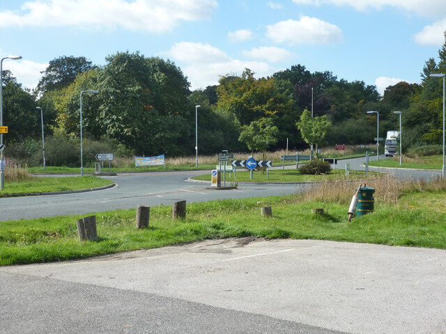
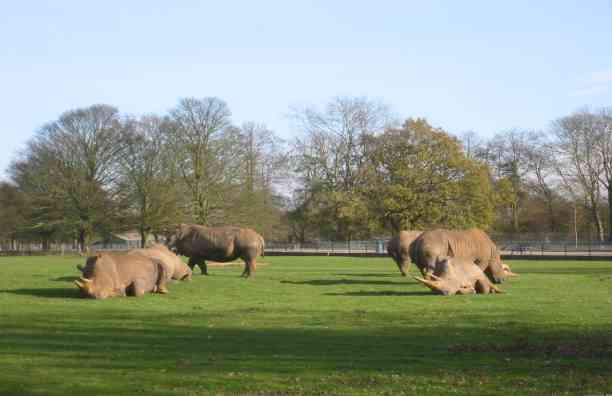
Dagnall Paddock Images
Images are sourced within 2km of 51.842834/-0.5480941 or Grid Reference TL0017. Thanks to Geograph Open Source API. All images are credited.


Dagnall Paddock is located at Grid Ref: TL0017 (Lat: 51.842834, Lng: -0.5480941)
Unitary Authority: Central Bedfordshire
Police Authority: Bedfordshire
What 3 Words
///frizz.waged.ensemble. Near Kensworth, Bedfordshire
Nearby Locations
Related Wikis
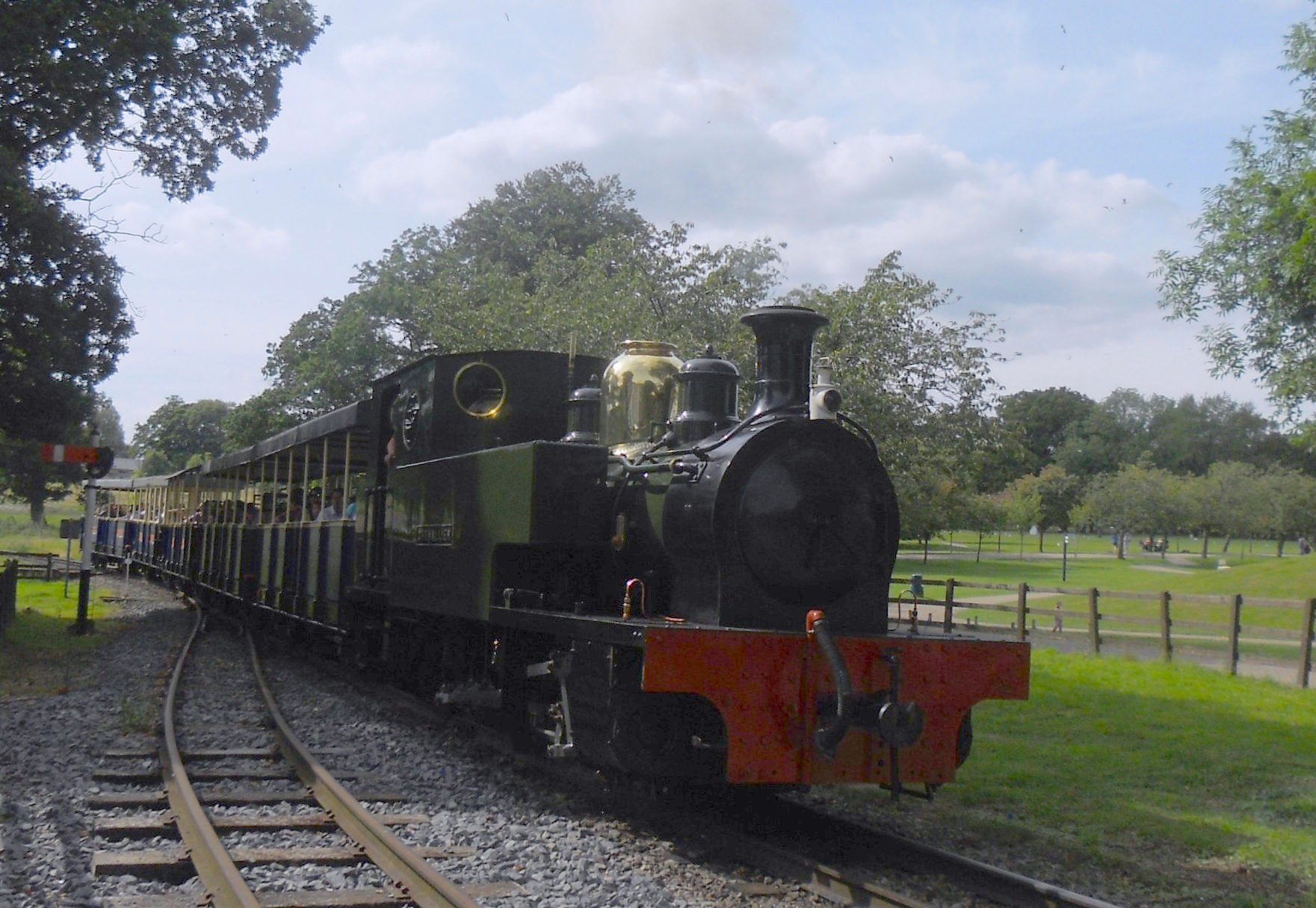
Great Whipsnade Railway
The Great Whipsnade Railway, also known as The Jumbo Express, is an English, 2 ft 6 in (762 mm) narrow gauge heritage railway that operates within ZSL...

Whipsnade Zoo
Whipsnade Zoo, formerly known as ZSL Whipsnade Zoo and Whipsnade Wild Animal Park, is a zoo and safari park located at Whipsnade, near Dunstable in Bedfordshire...

Dagnall
Dagnall is a village in the parish of Edlesborough, in Buckinghamshire, England. The place name is derived from the Old English for "Daegga's Knoll". In...

Whipsnade
Whipsnade is a small village and civil parish in Bedfordshire, England. It lies on the eastward tail spurs of the Chiltern Hills, about 2+1⁄2 miles (4...
Nearby Amenities
Located within 500m of 51.842834,-0.5480941Have you been to Dagnall Paddock?
Leave your review of Dagnall Paddock below (or comments, questions and feedback).