Boot Street
Settlement in Suffolk East Suffolk
England
Boot Street

Boot Street is a charming village located in the county of Suffolk, England. Nestled amidst picturesque countryside, this idyllic village is known for its timeless beauty, quaint atmosphere, and rich history. With a population of approximately 500 residents, Boot Street offers a close-knit community feel that is highly sought after by locals and visitors alike.
The village is renowned for its traditional thatched-roof cottages that line the streets, giving it an unspoiled and quintessentially English appearance. The architecture reflects the village's long-standing heritage, with some buildings dating back to the 16th century. The streets are lined with well-maintained gardens and colorful flower displays, further adding to Boot Street's visual charm.
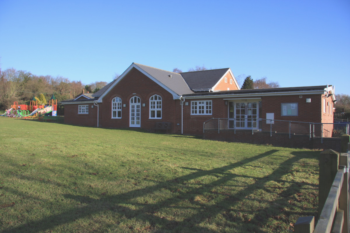
The village boasts a range of amenities, including a village hall, a small local shop, and a cozy pub that serves traditional British fare. The surrounding countryside provides ample opportunities for outdoor activities such as hiking, cycling, and horse riding. The nearby Boot Street Woods offer scenic walking trails and are a popular spot for nature enthusiasts.
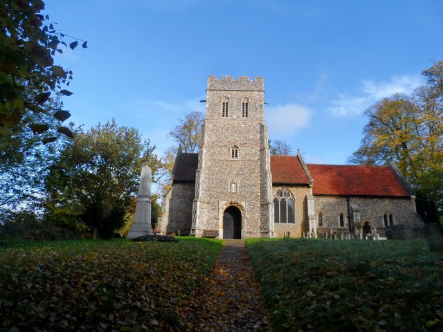
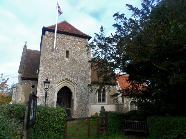
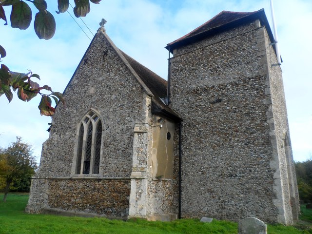
Boot Street is also steeped in history, with several notable landmarks and historical sites. The village church, St. Mary's, is a Grade II listed building and dates back to the 14th century. Its stunning architecture and serene atmosphere make it a must-visit for history enthusiasts and those seeking a tranquil place for reflection.
Overall, Boot Street is a captivating village that offers a glimpse into the timeless beauty of rural England. Its picturesque streets, historical landmarks, and warm community spirit make it a truly special place to visit or call home.
If you have any feedback on the listing, please let us know in the comments section below.
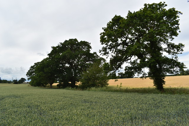
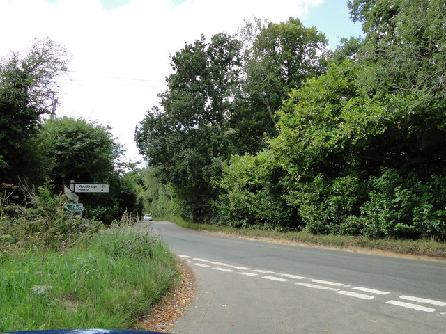
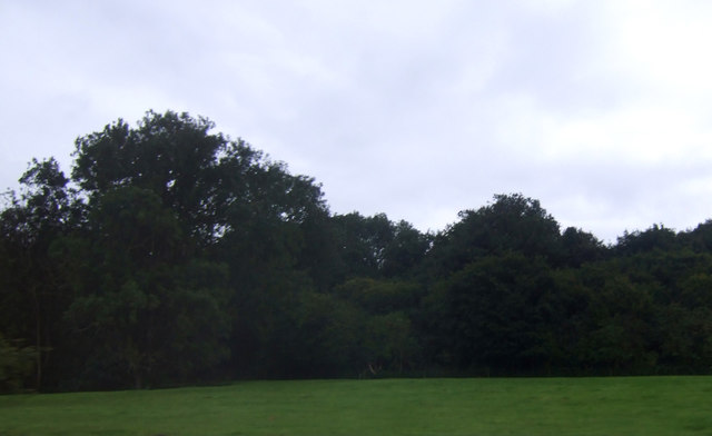
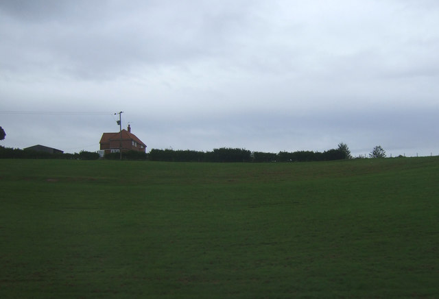
Boot Street Images
Images are sourced within 2km of 52.094047/1.248292 or Grid Reference TM2248. Thanks to Geograph Open Source API. All images are credited.


Boot Street is located at Grid Ref: TM2248 (Lat: 52.094047, Lng: 1.248292)
Administrative County: Suffolk
District: East Suffolk
Police Authority: Suffolk
What 3 Words
///span.trip.rots. Near Grundisburgh, Suffolk
Nearby Locations
Related Wikis
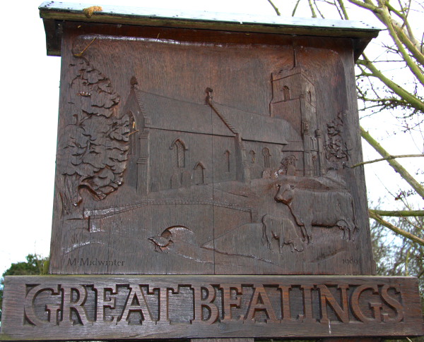
Great Bealings
Great Bealings is a small village in Suffolk, England. It has about 302 people living in it in around 113 households. Its nearest towns are Ipswich...

Carlford Hundred
Carlford is a hundred of Suffolk, consisting of 25,461 acres (103.04 km2).Carford Hundred is of an irregular figure about ten miles (16 km) in length and...
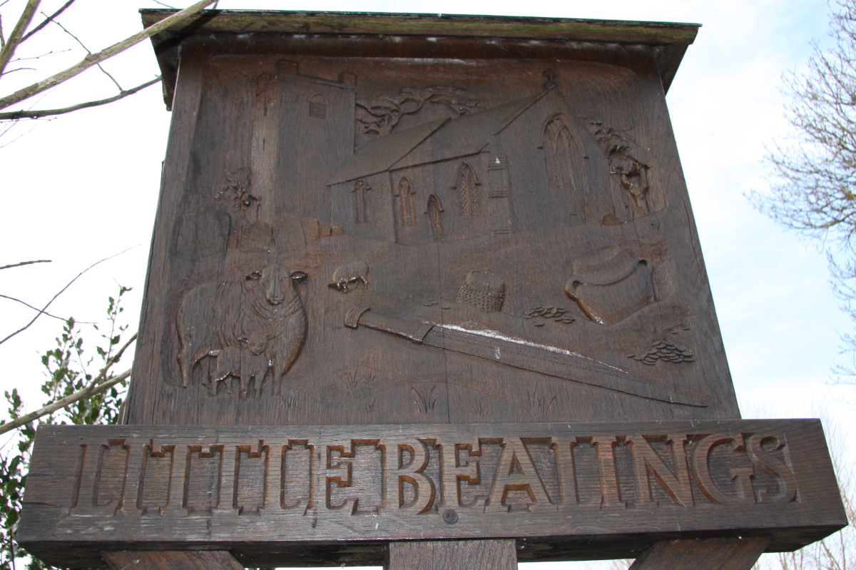
Little Bealings
Little Bealings is a village in Suffolk, England. It has a population of approximately 470 people living in around 185 households. The population had...
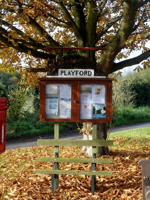
Playford, Suffolk
Playford is a village and civil parish in the East Suffolk district, in Suffolk, England, on the outskirts of Ipswich. It has about 215 residents in 90...
Nearby Amenities
Located within 500m of 52.094047,1.248292Have you been to Boot Street?
Leave your review of Boot Street below (or comments, questions and feedback).