Boose's Green

Settlement in Essex Braintree

England

Boose's Green

Stanstead Hall: aerial 2022 (1)
Stanstead Hall: aerial 2022 (1) Credit: Simon Tomson

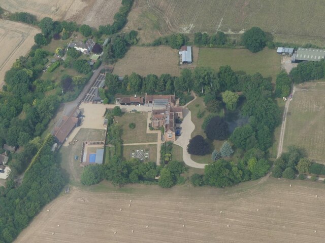
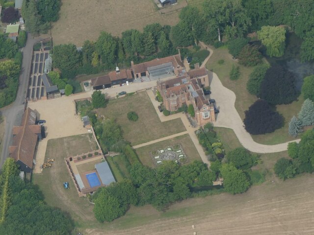
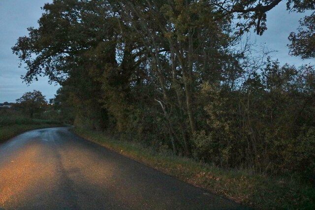
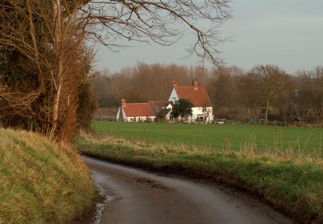
Boose's Green is a small village located in the county of Essex, England. Situated in the Uttlesford district, it is nestled amidst the picturesque countryside and offers a tranquil and idyllic setting. The village is primarily residential and is home to a close-knit community.

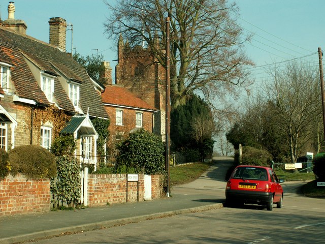
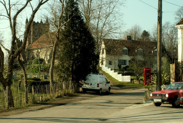
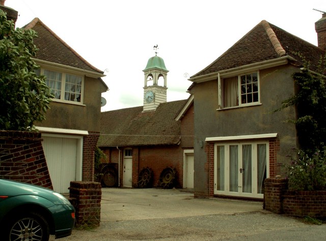
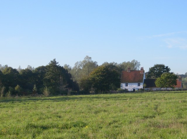
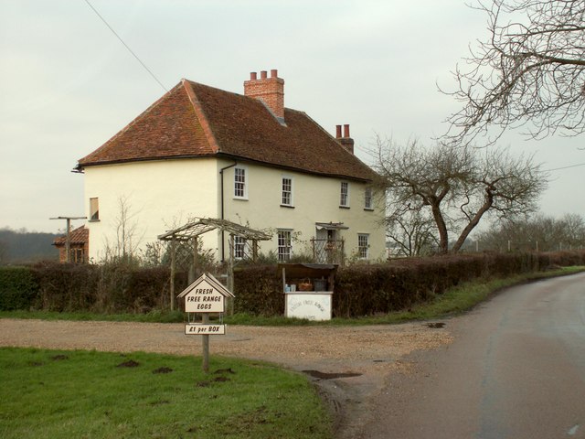
The architecture in Boose's Green is predominantly traditional, with charming cottages and period houses dotting the landscape. The village is characterized by its well-maintained gardens and green spaces, providing a visually appealing environment for residents and visitors alike.

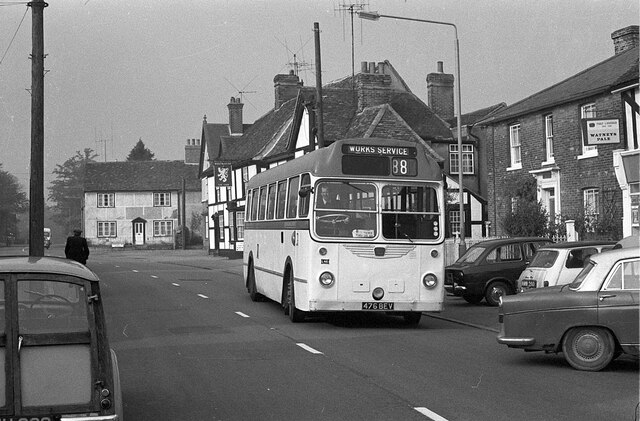
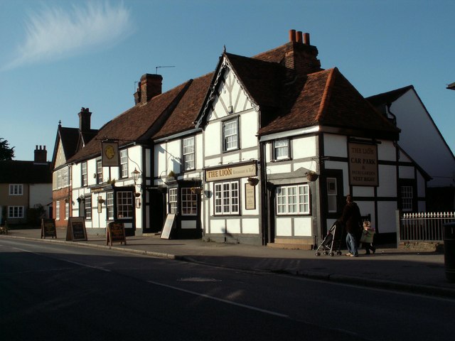
Despite its small size, Boose's Green benefits from a range of amenities and facilities. These include a local pub, a community center, and a playground for children. The village also has a primary school, which caters to the educational needs of the local children.

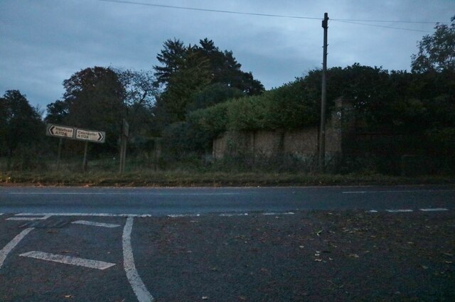
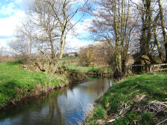
Nature enthusiasts are drawn to the area due to its proximity to various walking trails and scenic spots, allowing residents to enjoy the natural beauty of the surrounding countryside. The village is also conveniently located near larger towns and cities, such as Bishop's Stortford and Saffron Walden, providing easy access to additional amenities and services.

Overall, Boose's Green offers a peaceful and picturesque setting for those seeking a rural lifestyle. Its close-knit community, beautiful architecture, and access to nature make it an attractive place to live or visit in the Essex countryside.

If you have any feedback on the listing, please let us know in the comments section below.

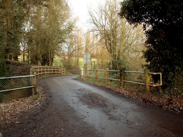
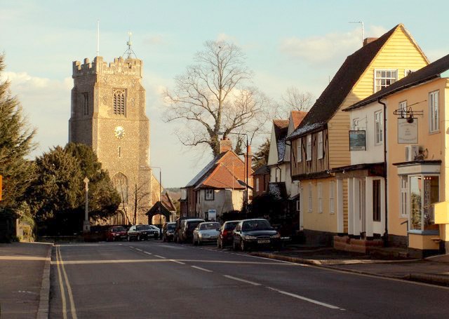
Boose's Green Images

Images are sourced within 2km of 51.938078/0.67529498 or Grid Reference TL8430. Thanks to Geograph Open Source API. All images are credited.

Stanstead Hall: aerial 2022 (1)
Stanstead Hall: aerial 2022 (2)
Passing The Lion, Earls Colne – 1971 The Lion dates back to as early as the 14th century.

Hedingham and District bus L42 on a works service. This was a family business set up in 1960 in Sible Hedingham which survived the upheavals of the 1985 Transport Act to continue to provide local bus services in the area, finally selling to the Go-Ahead group in 2012. The Hedingham fleetname continues to be used.

Bus L42 is a Bristol LS with ECW body, originally new to Eastern National in 1955.

This is one of a series of views featuring buses in the 60s, 70s, and 80s. <a title="https://www.geograph.org.uk/search.php?i=137652761" href="https://www.geograph.org.uk/search.php?i=137652761">Link</a>
Passing The Lion, Earls Colne – 1971
The Lion dates back to as early as the 14th century. Hedingham and District bus L42 on a works service. This was a family business set up in 1960 in Sible Hedingham which survived the upheavals of the 1985 Transport Act to continue to provide local bus services in the area, finally selling to the Go-Ahead group in 2012. The Hedingham fleetname continues to be used. Bus L42 is a Bristol LS with ECW body, originally new to Eastern National in 1955. This is one of a series of views featuring buses in the 60s, 70s, and 80s. Link
Colchester Road at the end of Church Road
Greenstead Hall Road entering Halstead
The Lion, public house, Earls Colne, Essex This 14th century Tudor Style inn stands at the top of the High Street on the right hand side as you head towards Halstead. It hasn't always been an inn. At one time the public bar, which is at the front, was a stilted building and used to house the indoor market.
The Lion, public house, Earls Colne, Essex
This 14th century Tudor Style inn stands at the top of the High Street on the right hand side as you head towards Halstead. It hasn't always been an inn. At one time the public bar, which is at the front, was a stilted building and used to house the indoor market.
Colne Engaine village, Essex This village stands on high ground in the Colne Valley and there are nice views from the church.
Colne Engaine village, Essex
This village stands on high ground in the Colne Valley and there are nice views from the church.
Colne Engaine village, Essex Village scene showing St.Andrew's church hidden behind the trees.
Colne Engaine village, Essex
Village scene showing St.Andrew's church hidden behind the trees.
Bridge Out! This picture shows what is left of a bridge on the Colne Valley railway. The railway embankment to the right as far as White Colne was a nature reserve managed by Essex wildlife Trust <span class="nowrap"><a title="http://www.essexwt.org.uk/" rel="nofollow ugc noopener" href="http://www.essexwt.org.uk/">Link</a><img style="margin-left:2px;" alt="External link" title="External link - shift click to open in new window" src="https://s1.geograph.org.uk/img/external.png" width="10" height="10"/></span> however management has now passed back to the local authority. The photo was taken looking upstream.
Bridge Out!
This picture shows what is left of a bridge on the Colne Valley railway. The railway embankment to the right as far as White Colne was a nature reserve managed by Essex wildlife Trust LinkExternal link however management has now passed back to the local authority. The photo was taken looking upstream.
Knight's Farm, Bunting's Green, Colne Engaine, Essex
Ford Mill - Colne valley An ancient farmhouse in the bottom of the Colne valley.
Ford Mill - Colne valley
An ancient farmhouse in the bottom of the Colne valley.
Farmhouse at Abbott's farm
Bridge on Elms Hall Road This bridge stands over the river Colne by Langley Mill.
Bridge on Elms Hall Road
This bridge stands over the river Colne by Langley Mill.
Ford Mill in the Colne Valley, near Colne Engaine
Converted barn at Don Johns Farm
Farm road leading to Kennels
Halstead Halstead viewed from the southwest near the entrance to Greenstead Hall
Halstead
Halstead viewed from the southwest near the entrance to Greenstead Hall
Country road near Bunting's Green
Show me another place!

Boose's Green is located at Grid Ref: TL8430 (Lat: 51.938078, Lng: 0.67529498)

Administrative County: Essex

District: Braintree

Police Authority: Essex

What 3 Words

///farm.patching.horses. Near Earls Colne, Essex

Related Wikis

Earls Colne railway station

Earls Colne railway station was located in Earls Colne, Essex. It was 53 miles 77 chains (86.84 km) from London Liverpool Street via Marks Tey. == References... ==

Colne Engaine

Colne Engaine is a village and a civil parish in Essex, England, situated just north of the River Colne and of the larger village of Earls Colne, approximately...

Greenstead Green and Halstead Rural

Greenstead Green and Halstead Rural is a civil parish in the Braintree district, in the county of Essex, England. The parish includes the village of Greenstead...

Earls Colne

Earls Colne is a village in Essex, England named after the River Colne, on which it stands, and the Earls of Oxford who held the manor of Earls Colne from...

Have you been to Boose's Green?

Leave your review of Boose's Green below (or comments, questions and feedback).