Eaves, The

Settlement in Gloucestershire Forest of Dean

England

Eaves, The

Parkend railway station
Parkend railway station Credit: Tim Glover

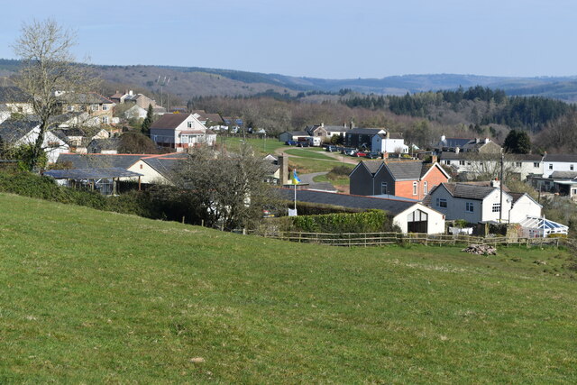
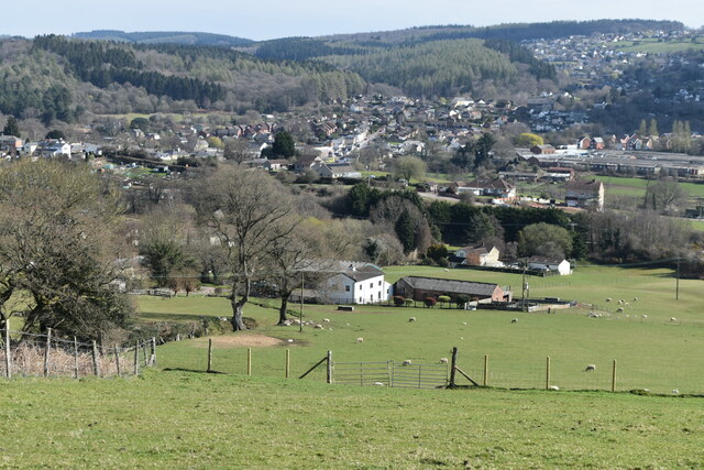
Eaves, The, Gloucestershire is a small village located in the county of Gloucestershire, England. Situated approximately 5 miles north-west of the city of Gloucester, the village is nestled in the picturesque countryside of the Cotswolds.

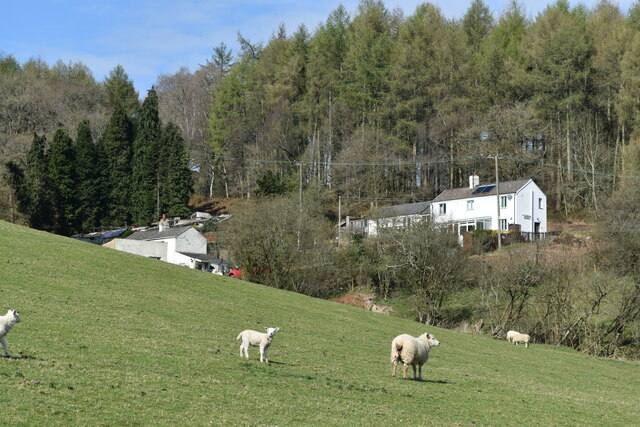
The village of Eaves is known for its charming, traditional English architecture, with many of its buildings dating back several centuries. It boasts a tight-knit community, with a population of around 500 residents. The local economy is primarily based on agriculture, with farming and livestock rearing being the main sources of income for many villagers.

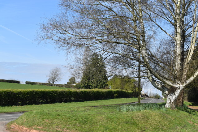
Eaves, The, Gloucestershire benefits from its scenic location, surrounded by rolling hills and verdant meadows. The village offers a tranquil and peaceful atmosphere, making it an ideal place for those seeking a rural retreat or a slower pace of life away from the bustling cities.

While Eaves is a relatively small village, it offers a range of amenities to its residents. These include a village hall that serves as a community center for various events and gatherings, a local pub that acts as a social hub for villagers, and a primary school that provides education for the local children.

Overall, Eaves, The, Gloucestershire is a charming and idyllic village, showcasing the beauty of the English countryside. With its rich history, close-knit community, and stunning natural surroundings, it offers a peaceful and picturesque place to call home.

If you have any feedback on the listing, please let us know in the comments section below.
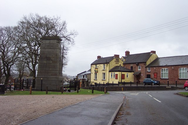
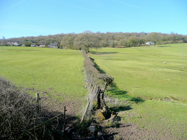
Eaves, The Images

Images are sourced within 2km of 51.751327/-2.5663562 or Grid Reference SO6106. Thanks to Geograph Open Source API. All images are credited.

Parkend railway station
Dean Forest Railway near Upper Forge Visiting Peckett W6 'Rocket' passes Upper Forge with a single brakevan during the Dean Forest Railway's delayed 50th anniversary gala.
Dean Forest Railway near Upper Forge
Visiting Peckett W6 'Rocket' passes Upper Forge with a single brakevan during the Dean Forest Railway's delayed 50th anniversary gala.
Dean Forest Railway near Parkend Class 14 No. D9521 approaches Parkend during the Dean Forest Railway's delayed 50th anniversary gala.
Dean Forest Railway near Parkend
Class 14 No. D9521 approaches Parkend during the Dean Forest Railway's delayed 50th anniversary gala.
Class 14 at Parkend Class 14 No. D9521 runs around its train at Parkend station during the Dean Forest Railway's delayed 50th anniversary gala.
Class 14 at Parkend
Class 14 No. D9521 runs around its train at Parkend station during the Dean Forest Railway's delayed 50th anniversary gala.
Dean Forest Railway at Parkend Visiting Peckett W6 'Rocket' is seen on brake-van ride duties at Parkend station during the Dean Forest Railway's delayed 50th anniversary gala.
Dean Forest Railway at Parkend
Visiting Peckett W6 'Rocket' is seen on brake-van ride duties at Parkend station during the Dean Forest Railway's delayed 50th anniversary gala.
Dean Forest Railway gala at Parkend A variety of road and other engines are seen at Parkend station during the Dean Forest Railway's delayed 50th anniversary gala.
Dean Forest Railway gala at Parkend
A variety of road and other engines are seen at Parkend station during the Dean Forest Railway's delayed 50th anniversary gala.
St James’ Church Bream Sunday morning worshippers gathering outside the door.
St James’ Church Bream
Sunday morning worshippers gathering outside the door.
Wide verge beside Lyndsey Road
View over Pastor’s Hill, Bream
View over Whitecroft The station on the preserved Dean Forest Railway is in the centre of this image.
View over Whitecroft
The station on the preserved Dean Forest Railway is in the centre of this image.
Downhill view at Pastor’s Hill
Houses on hillside at Pastor’s Hill
House above lane on edge of Whitecroft Taken from the location of a former level crossing on a branch line to Princess Royal Colliery.
House above lane on edge of Whitecroft
Taken from the location of a former level crossing on a branch line to Princess Royal Colliery.
Whitecroft station On the preserved Dean Forest Railway.
Whitecroft station
On the preserved Dean Forest Railway.
Ex-GWR 2-6-2 No. 5541 at Whitecroft level crossing Hauling a non-stopping service towards Parkend.
Ex-GWR 2-6-2 No. 5541 at Whitecroft level crossing
Hauling a non-stopping service towards Parkend.
Dean Forest Railway train passing Whitecroft Hauled by Ex-GWR 2-6-2 No. 5541, just passing the level crossing northbound to Parkend.
Dean Forest Railway train passing Whitecroft
Hauled by Ex-GWR 2-6-2 No. 5541, just passing the level crossing northbound to Parkend.
Sheep grazing on the verge beside Park Hill
Show me another place!

Eaves, The is located at Grid Ref: SO6106 (Lat: 51.751327, Lng: -2.5663562)

Administrative County: Gloucestershire

District: Forest of Dean

Police Authority: Gloucestershire

What 3 Words

///talkative.glance.lightens. Near Bream, Gloucestershire

Related Wikis

Bream, Gloucestershire

Bream (historically known as Breem) is a village in the Forest of Dean, west Gloucestershire, England. The population was around 3,170 in the 2011 census...

West Dean, Gloucestershire

West Dean is a civil parish, situated in the Forest of Dean district of Gloucestershire, England. == History == The Forest of Dean was an extra-parochial...

Brockhollands

Brockhollands is a hamlet located in the Forest of Dean. It lies between the village of Bream and the town of Lydney in Gloucestershire. It is an obscure...

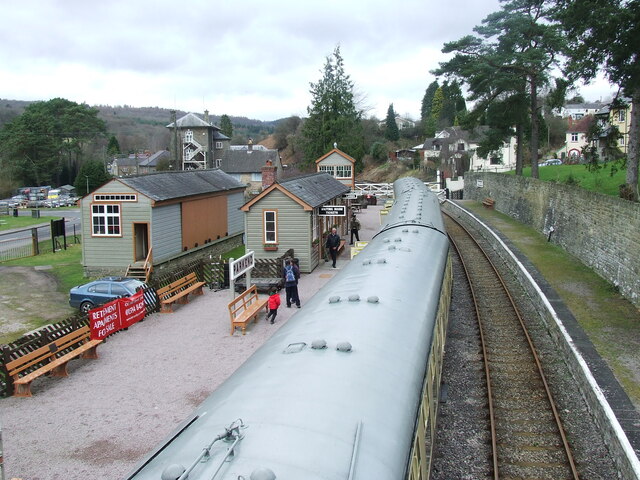
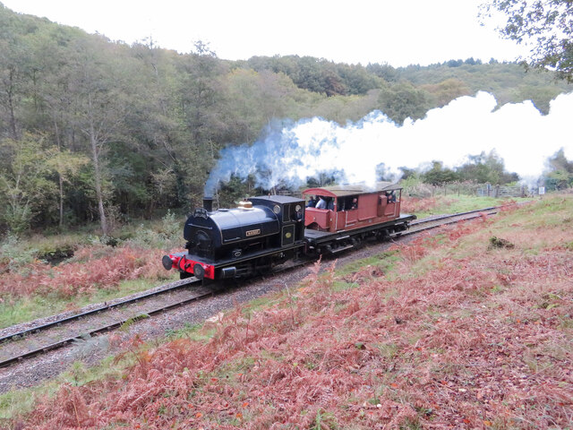
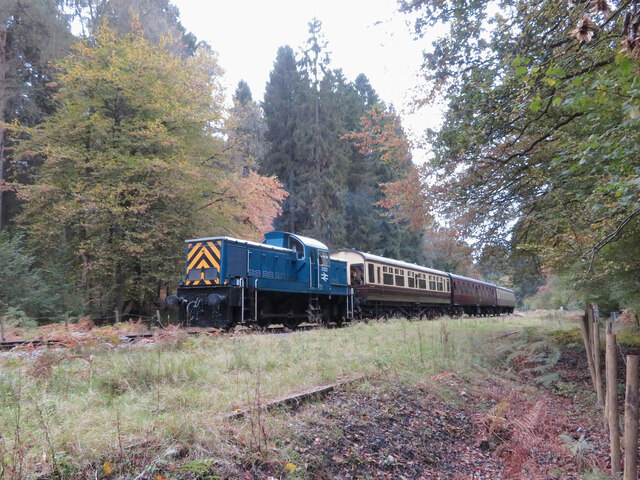
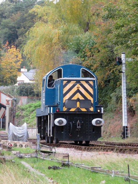
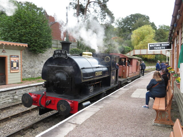
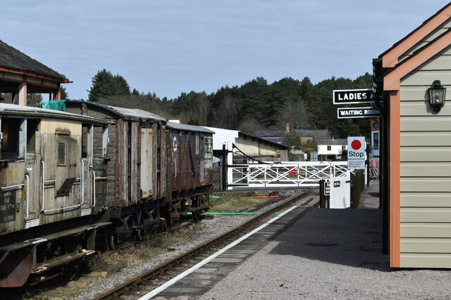
Whitecroft railway station

Whitecroft & Bream railway station is a railway station on the Dean Forest Railway. == History == The station originally opened on 23 September 1875, and...

Nearby Amenities

Located within 500m of 51.751327,-2.5663562
Bus Stop
The Hedgehog
Naptan AtcoCode: 1600GL625
Naptan Bearing: S
Naptan CommonName: The Hedgehog
Naptan Indicator: Opp
Naptan NaptanCode: gloagjwa
Naptan Street: High St
Naptan Verified: no
Source: naptan_import
Lat/Long: 51.7522389/-2.5730224
Bus Stop
The Hedgehog
Naptan AtcoCode: 1600GL626
Naptan Bearing: N
Naptan CommonName: The Hedgehog
Naptan NaptanCode: gloagjtw
Naptan Street: High St
Naptan Verified: no
Source: naptan_import
Lat/Long: 51.7523644/-2.5731109
Bus Stop
The Hedgehog
Naptan AtcoCode: 1600GL641
Naptan Bearing: W
Naptan CommonName: The Hedgehog
Naptan NaptanCode: gloagjwj
Naptan Street: Whitecroft Rd
Naptan Verified: no
Source: naptan_import
Lat/Long: 51.7525646/-2.5726209
Bus Stop
The Hedgehog
Naptan AtcoCode: 1600GL642
Naptan Bearing: E
Naptan CommonName: The Hedgehog
Naptan NaptanCode: gloagjwp
Naptan Street: Whitecroft Rd
Naptan Verified: no
Source: naptan_import
Lat/Long: 51.752673/-2.5725064
Bus Stop
Whitecroft Rd
Naptan AtcoCode: 1600GLF707
Naptan Bearing: S
Naptan CommonName: Whitecroft Rd
Naptan NaptanCode: gloagmgt
Naptan Street: Bowson Rd
Naptan Verified: no
Source: naptan_import
Lat/Long: 51.7542183/-2.5653256
Bus Stop
Whitecroft Rd
Naptan AtcoCode: 1600GLF708
Naptan Bearing: N
Naptan CommonName: Whitecroft Rd
Naptan NaptanCode: gloagmgm
Naptan Street: Bowson Rd
Naptan Verified: no
Source: naptan_import
Lat/Long: 51.7541638/-2.5654409
Pastor's Hill
Place: locality
Source: OS_OpenData_StreetView
Lat/Long: 51.7473864/-2.5667083
Saunders Green
Place: hamlet
Source: OS_OpenData_StreetView
Lat/Long: 51.7515431/-2.5607237
Community Centre
West Dean Centre
Addr City: Bream
Addr Postcode: GL15 6JW
Addr Street: High Street
Community Centre: village_hall
Contact Email: deputyclerk@westdeanpc.org.uk
Contact Phone: +44 1594 564484
Contact Website: https://westdeanpc.org.uk/west-dean-centre
Operator: West Dean Parish Council
Lat/Long: 51.7511355/-2.5734517
Power: pole
Lat/Long: 51.7544376/-2.5618047
Power: pole
Lat/Long: 51.7544362/-2.5621802
Power: pole
Lat/Long: 51.7544876/-2.561861
Generator Method: photovoltaic
Generator Output Electricity: yes
Generator Source: solar
Generator Type: solar_photovoltaic_panel
Location: roof
Power: generator
Lat/Long: 51.7520334/-2.5715303
Generator Method: photovoltaic
Generator Output Electricity: yes
Generator Source: solar
Generator Type: solar_photovoltaic_panel
Location: roof
Power: generator
Lat/Long: 51.7514356/-2.5719675
Generator Method: photovoltaic
Generator Output Electricity: yes
Generator Source: solar
Generator Type: solar_photovoltaic_panel
Location: roof
Power: generator
Lat/Long: 51.7506518/-2.5710636
Generator Method: photovoltaic
Generator Output Electricity: yes
Generator Source: solar
Generator Type: solar_photovoltaic_panel
Location: roof
Power: generator
Lat/Long: 51.7506568/-2.5715223
Generator Method: photovoltaic
Generator Output Electricity: yes
Generator Source: solar
Generator Type: solar_photovoltaic_panel
Location: roof
Power: generator
Lat/Long: 51.7507498/-2.5730056
Generator Method: photovoltaic
Generator Output Electricity: yes
Generator Source: solar
Generator Type: solar_photovoltaic_panel
Location: roof
Power: generator
Lat/Long: 51.7493317/-2.5726917
Generator Method: photovoltaic
Generator Output Electricity: yes
Generator Source: solar
Generator Type: solar_photovoltaic_panel
Location: roof
Power: generator
Lat/Long: 51.7498315/-2.5702094
Generator Method: photovoltaic
Generator Output Electricity: yes
Generator Source: solar
Generator Type: solar_photovoltaic_panel
Location: roof
Power: generator
Lat/Long: 51.7505838/-2.5698942
Generator Method: photovoltaic
Generator Output Electricity: yes
Generator Source: solar
Generator Type: solar_photovoltaic_panel
Location: roof
Power: generator
Lat/Long: 51.7528918/-2.5715974
Generator Method: photovoltaic
Generator Output Electricity: yes
Generator Source: solar
Generator Type: solar_photovoltaic_panel
Location: roof
Power: generator
Lat/Long: 51.7541554/-2.5694168
Generator Method: photovoltaic
Generator Output Electricity: yes
Generator Source: solar
Generator Type: solar_photovoltaic_panel
Location: roof
Power: generator
Lat/Long: 51.7541853/-2.5690466
Generator Method: photovoltaic
Generator Output Electricity: yes
Generator Source: solar
Generator Type: solar_photovoltaic_panel
Location: roof
Power: generator
Lat/Long: 51.7525979/-2.5698996
Generator Method: photovoltaic
Generator Output Electricity: yes
Generator Source: solar
Generator Type: solar_photovoltaic_panel
Location: roof
Power: generator
Lat/Long: 51.752847/-2.5687033
Generator Method: photovoltaic
Generator Output Electricity: yes
Generator Source: solar
Generator Type: solar_photovoltaic_panel
Location: roof
Power: generator
Lat/Long: 51.7512945/-2.5686282
Generator Method: photovoltaic
Generator Output Electricity: yes
Generator Source: solar
Generator Type: solar_photovoltaic_panel
Location: roof
Power: generator
Lat/Long: 51.7513642/-2.5683197
Post Box
Collection Plate: CP1
Collection Times: Mo-Fr 16:45; Sa 10:15
Operator: Royal Mail
Post Box Mounting: wall
Post Box Type: wall
Ref: GL15 75
Royal Cypher: EIIR
Royal Cypher Wikidata: Q33102113
Lat/Long: 51.7505953/-2.5729028
Post Office
Bream Post Office
Addr City: Bream
Addr Postcode: GL15 6ND
Addr Street: Brockhollands Road
Brand: Post Office
Brand Wikidata: Q1783168
Opening Hours: Mo-Fr 09:00-15:00; Sa 09:00-12:00
Ref Pol Id: 10289
Website: https://www.postoffice.co.uk/branch-finder/2595230/bream
Lat/Long: 51.7506109/-2.5730158
The data included in this document is from www.openstreetmap.org. The data is made available under ODbL.

Have you been to Eaves, The?

Leave your review of Eaves, The below (or comments, questions and feedback).