The Colony
Settlement in Oxfordshire Cherwell
England
The Colony
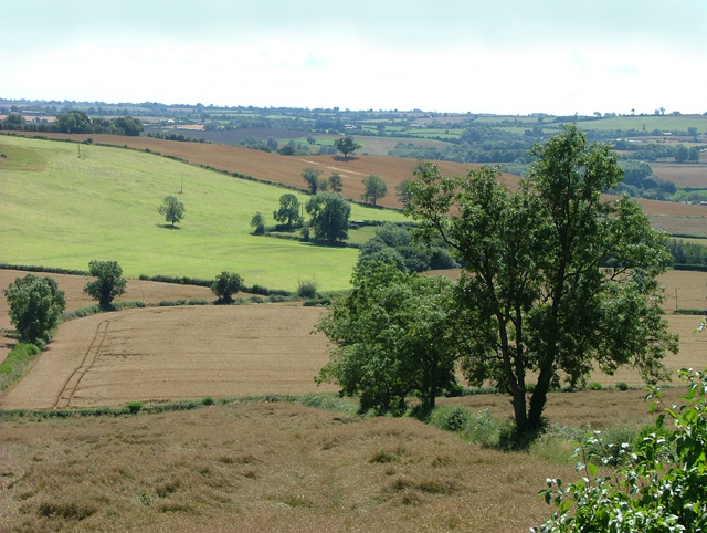
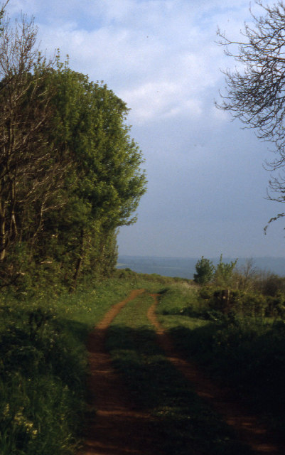
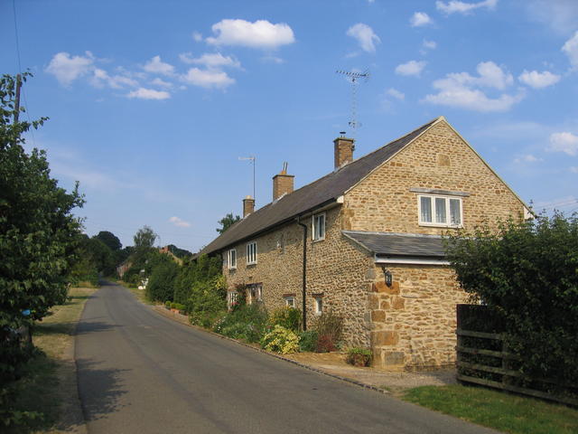
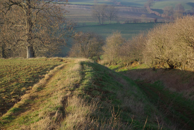
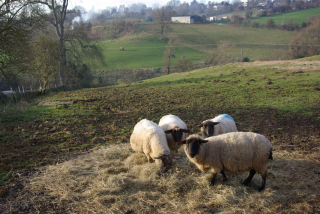
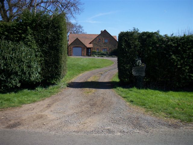
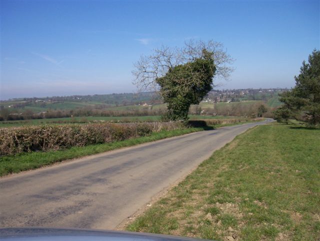
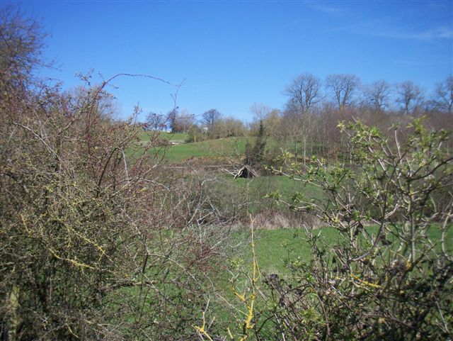
The Colony is a charming village located in Oxfordshire, England. Situated in the heart of the Cherwell Valley, it is renowned for its picturesque landscapes and rich historical heritage. The village is nestled amidst rolling hills and lush green fields, offering a tranquil and idyllic setting for its residents and visitors.
The Colony has a population of approximately 1,500 people, creating a close-knit community feel. The village is well-connected to the surrounding areas, with excellent transport links to nearby towns and cities. It is conveniently located just a short distance from the historic city of Oxford, making it a popular choice for commuters.
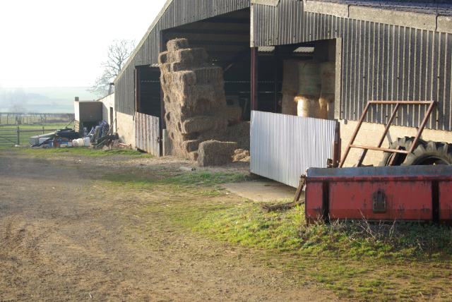
The Colony boasts a range of amenities, including a village hall, primary school, and a handful of local shops and cafes. The village has managed to retain its traditional character, with many of its buildings dating back several centuries. The charming architecture, combined with the peaceful surroundings, makes The Colony a popular destination for tourists seeking a quintessential English countryside experience.
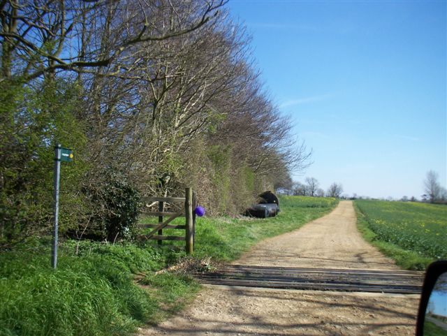
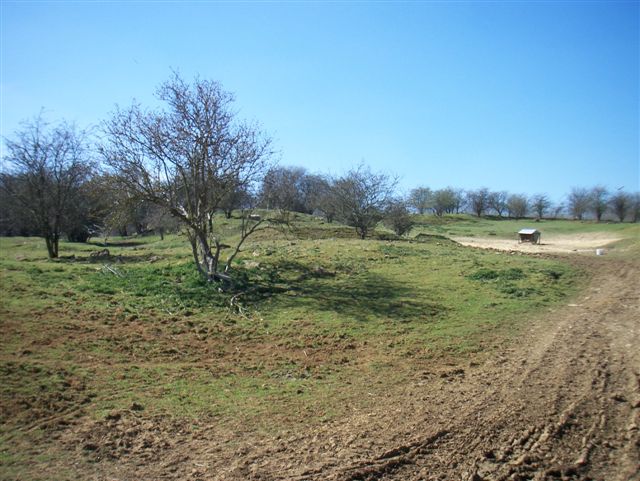
The surrounding countryside offers ample opportunities for outdoor activities, such as hiking, cycling, and horseback riding. The Colony is also home to several nature reserves, providing a haven for wildlife enthusiasts. The village enjoys a vibrant community spirit, with various events and festivals organized throughout the year, bringing residents together.
Overall, The Colony, Oxfordshire, is a delightful village that offers a peaceful and picturesque setting, steeped in history and surrounded by natural beauty.
If you have any feedback on the listing, please let us know in the comments section below.
The Colony Images
Images are sourced within 2km of 52.030374/-1.5058273 or Grid Reference SP3437. Thanks to Geograph Open Source API. All images are credited.


The Colony is located at Grid Ref: SP3437 (Lat: 52.030374, Lng: -1.5058273)
Administrative County: Oxfordshire
District: Cherwell
Police Authority: Thames Valley
What 3 Words
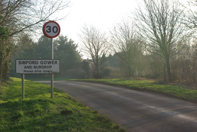
///breathing.firmer.insect. Near Lower Brailes, Warwickshire
Nearby Locations
Related Wikis

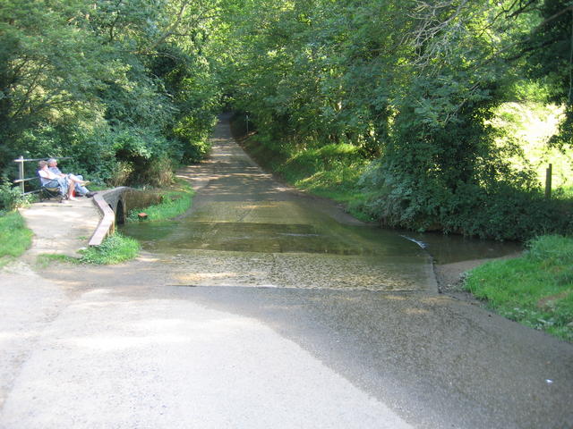
Traitor's Ford
Traitor's Ford is a ford on the River Stour, in the English county of Warwickshire close to its border with Oxfordshire. It is about 2 miles (3.2 km) outside...

Sharp's Hill Quarry
Sharp's Hill Quarry is a 2.4-hectare (5.9-acre) geological Site of Special Scientific Interest west of Banbury in Oxfordshire. It is a Geological Conservation...

Woodford Bottom and Lamb's Pool
Woodford Bottom and Lamb's Pool is a 3-hectare (7.4-acre) nature reserve south of Sibford Ferris in Oxfordshire. It is managed by the Berkshire, Buckinghamshire...

Sibford School
Sibford School is a British co-educational independent school in Sibford Ferris, west of Banbury in north Oxfordshire, linked with the Religious Society...
Nearby Amenities
Located within 500m of 52.030374,-1.5058273Have you been to The Colony?
Leave your review of The Colony below (or comments, questions and feedback).