Burrows, The
Settlement in Pembrokeshire
Wales
Burrows, The

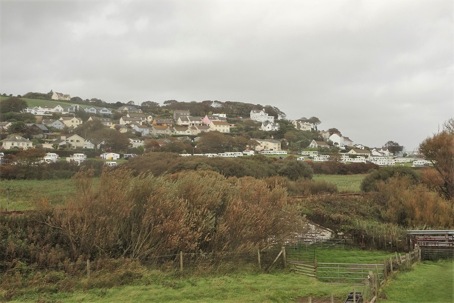
Burrows, also known as The Burrows, is a small coastal village located in the county of Pembrokeshire, Wales. Situated along the breathtaking Pembrokeshire Coast National Park, it is renowned for its stunning natural beauty and peaceful atmosphere.
The village is nestled between two popular tourist destinations, the bustling town of Tenby and the picturesque village of Saundersfoot. Burrows offers visitors a quieter alternative to these more touristy areas, making it an ideal destination for those seeking a tranquil escape.
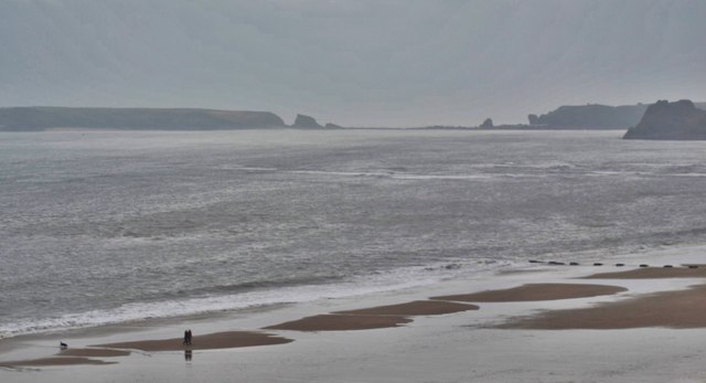
The main attraction of Burrows is its pristine sandy beach, which stretches for miles along the coastline. The beach is often described as one of the most beautiful in Pembrokeshire, with its golden sand, crystal-clear waters, and scenic backdrop of rolling hills and rugged cliffs. It provides ample opportunities for sunbathing, swimming, and long walks along the shore.
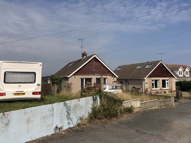
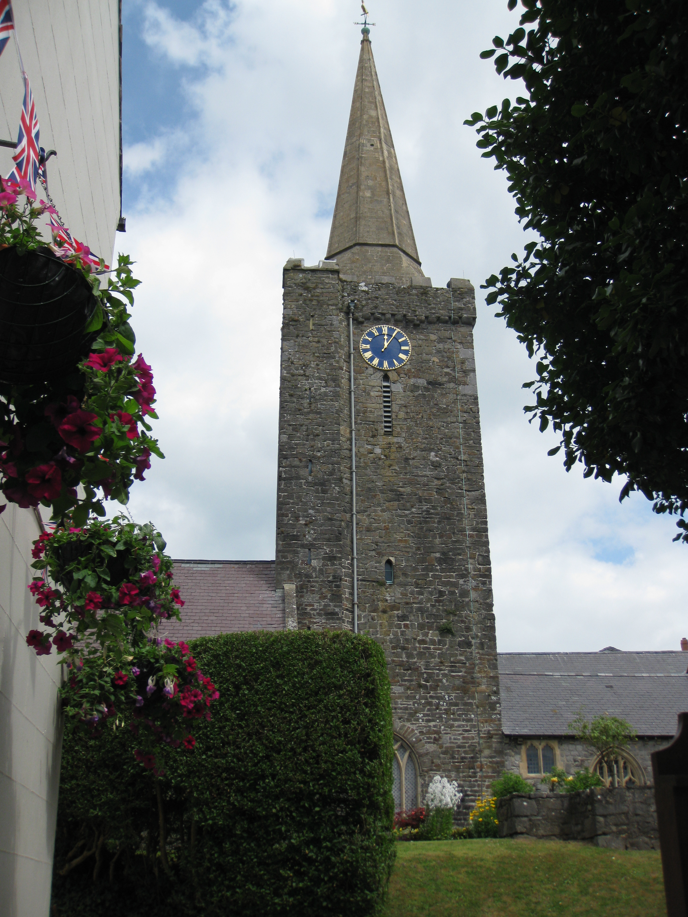
In addition to its natural beauty, Burrows is also home to a small community of locals who have preserved the village's traditional charm. The village consists of a handful of cottages, a quaint church, and a few local businesses, including a small cafe and a gift shop.
Visitors to Burrows can enjoy various outdoor activities, such as hiking along the nearby coastal path, birdwatching, or exploring the rock pools during low tide. The village also serves as a convenient base for exploring the wider Pembrokeshire region, with its numerous historical sites, castles, and nature reserves.
Overall, Burrows offers a serene and idyllic retreat for nature lovers and those seeking a slower pace of life, surrounded by the stunning natural beauty of Pembrokeshire.
If you have any feedback on the listing, please let us know in the comments section below.
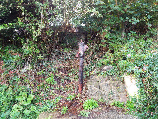
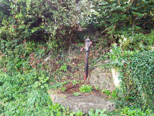
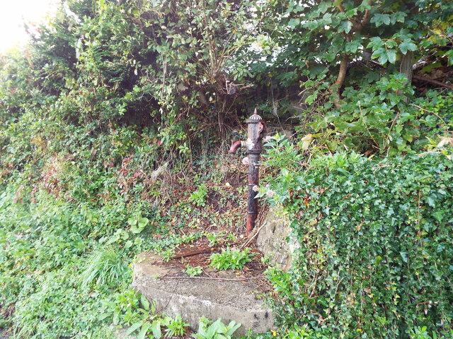
Burrows, The Images
Images are sourced within 2km of 51.661519/-4.712883 or Grid Reference SS1299. Thanks to Geograph Open Source API. All images are credited.


Burrows, The is located at Grid Ref: SS1299 (Lat: 51.661519, Lng: -4.712883)
Unitary Authority: Pembrokeshire
Police Authority: Dyfed Powys
What 3 Words
///happen.sedated.nicknames. Near Penally, Pembrokeshire
Nearby Locations
Related Wikis
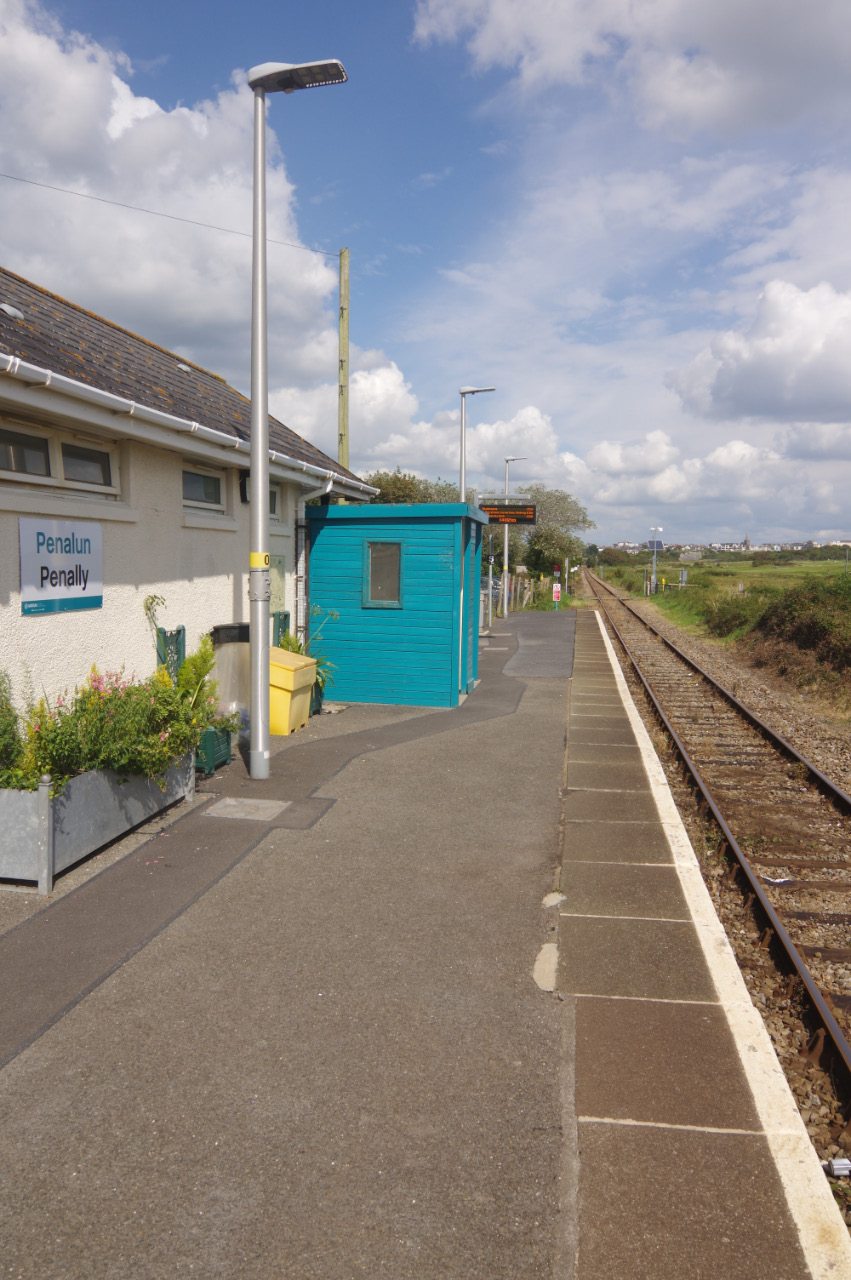
Penally railway station
Penally railway station serves the village of Penally in Pembrokeshire, Wales. It is on the Pembroke Dock branch of the West Wales Line operated by Transport...
Penally
Penally (Welsh: Penalun) is a coastal village, parish and community 1 mile (1.6 km) southwest of Tenby in Pembrokeshire, Wales. The village is known for...
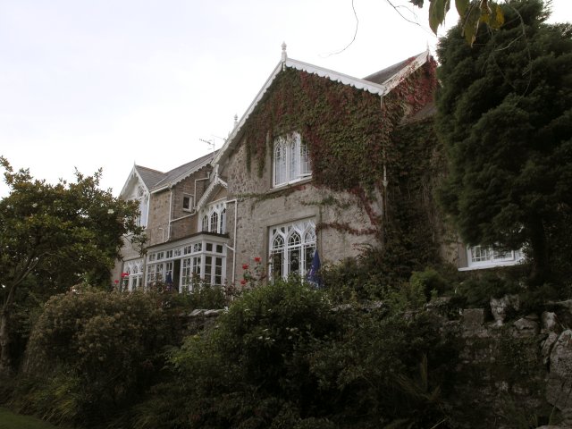
Penally Abbey
Penally Abbey is an old rectory, now the Penally Abbey Country House Hotel and Restaurant overlooking Carmarthen Bay in the village of Penally, about 1...

Limekilns at Kiln Park, Pembrokeshire
The limekilns at Kiln Park are heritage listed disused limekilns now located in the grounds of a holiday park, Kiln Park, near the village of Penally,...

Tenby railway station
Tenby railway station in Tenby is on the Pembroke Dock branch of the West Wales Line operated by Transport for Wales Rail, who also manage the station...
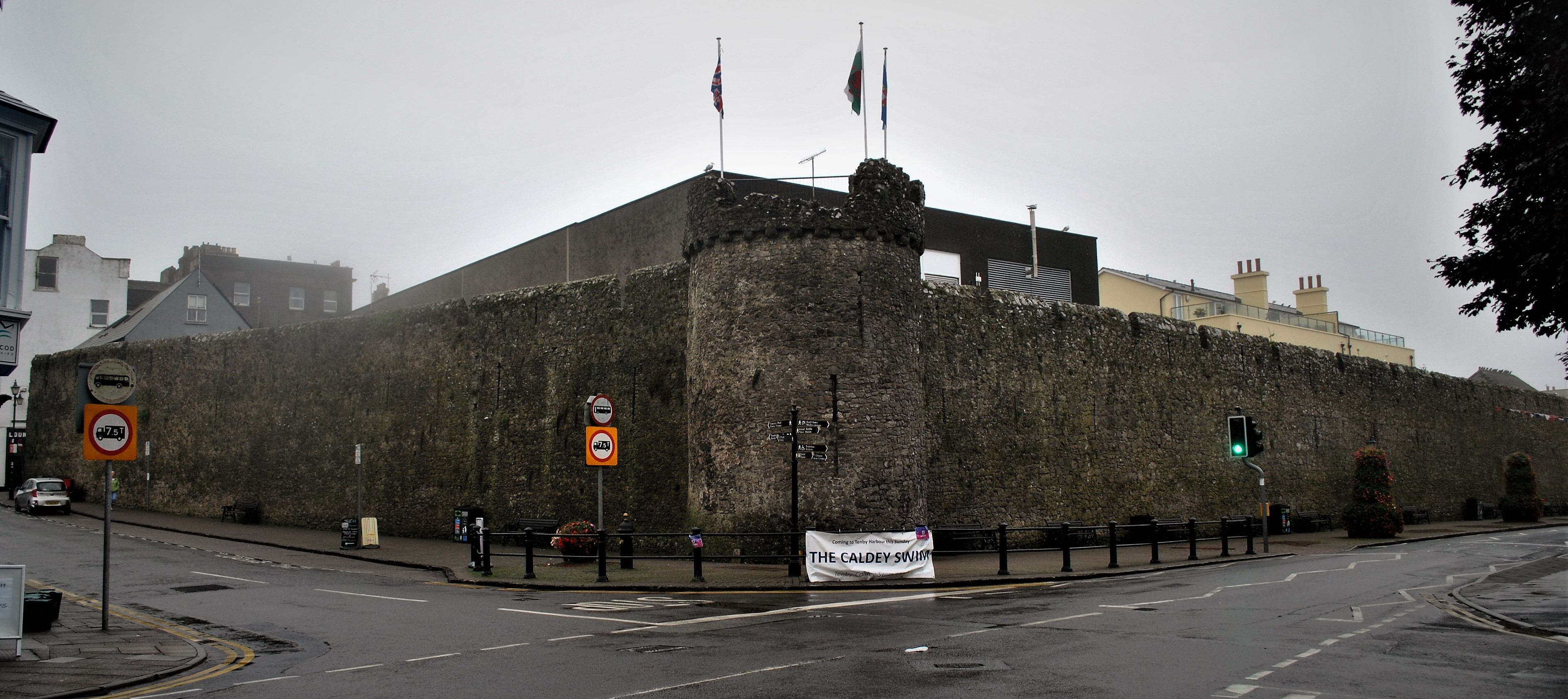
Tenby town walls
The Tenby town walls are Grade I-listed medieval defensive structures around the town of Tenby in Pembrokeshire. They are assessed as one of the most important...
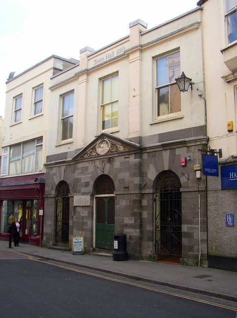
Tenby Town Hall
Tenby Town Hall (Welsh: Neuadd y Dref Dinbych-y-pysgod) is a municipal building in the High Street, Tenby, Pembrokeshire, Wales. The structure, which is...
St Mary's Church, Tenby
St Mary's Church, Tenby is a church located in the centre of the town of Tenby in Pembrokeshire, western Wales. The church is in the Diocese of Saint David...
Nearby Amenities
Located within 500m of 51.661519,-4.712883Have you been to Burrows, The?
Leave your review of Burrows, The below (or comments, questions and feedback).