Black Rock
Coastal Feature, Headland, Point in Pembrokeshire
Wales
Black Rock

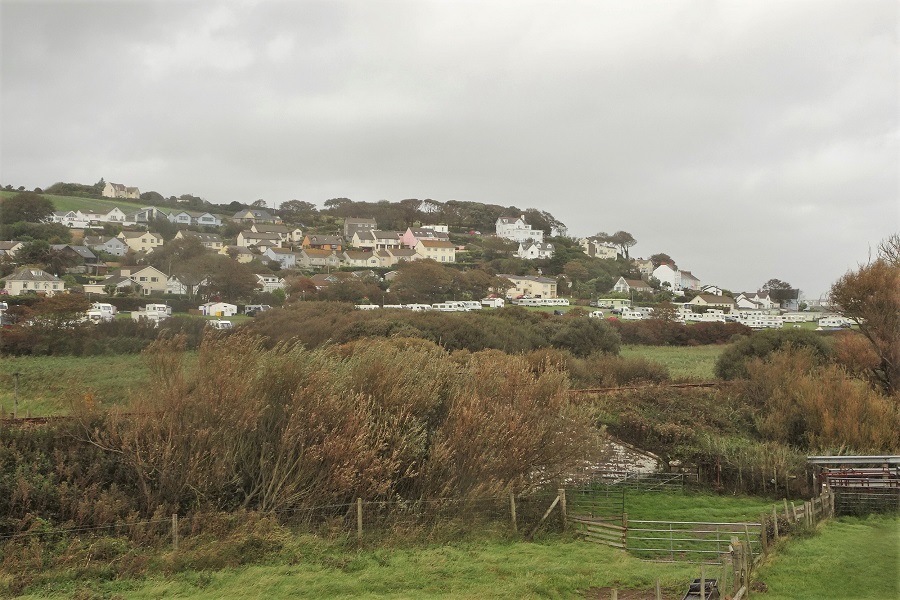
Black Rock is a prominent coastal feature located in Pembrokeshire, Wales. Situated on the western side of the county, this headland juts out into the Celtic Sea, offering stunning views of the surrounding coastline. It is positioned approximately 2 miles south of the town of Milford Haven.
The headland at Black Rock is characterized by its rugged cliffs, which rise steeply from the sea. These cliffs are composed of sedimentary rock, primarily consisting of sandstone and shale. The area is known for its geological diversity, with layers of rock dating back millions of years.
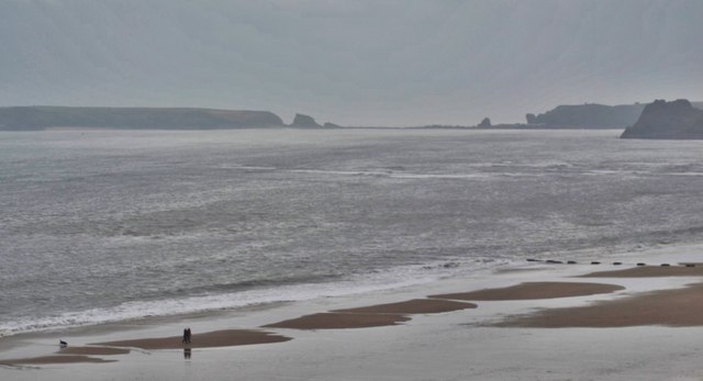
At the tip of Black Rock, there is a distinctive point that extends into the sea. This point is often exposed at low tide, revealing a rocky outcrop that is home to an array of marine life. The exposed rocks provide an ideal habitat for various species of seabirds, including gulls, cormorants, and oystercatchers.
Black Rock is a popular destination for outdoor enthusiasts and nature lovers. It offers opportunities for coastal walks, birdwatching, and photography. The headland can be accessed via a footpath that leads from the nearby coastal path, providing visitors with panoramic views of the Pembrokeshire coastline.
Due to its location, Black Rock is also of historical significance. It has been suggested that the headland may have served as a lookout point during World War II, due to its commanding views over the sea and the Milford Haven waterway.
Overall, Black Rock is a captivating coastal feature that showcases the natural beauty and rich history of Pembrokeshire. Its dramatic cliffs, diverse wildlife, and panoramic views make it a must-visit destination for anyone exploring the Welsh coastline.
If you have any feedback on the listing, please let us know in the comments section below.
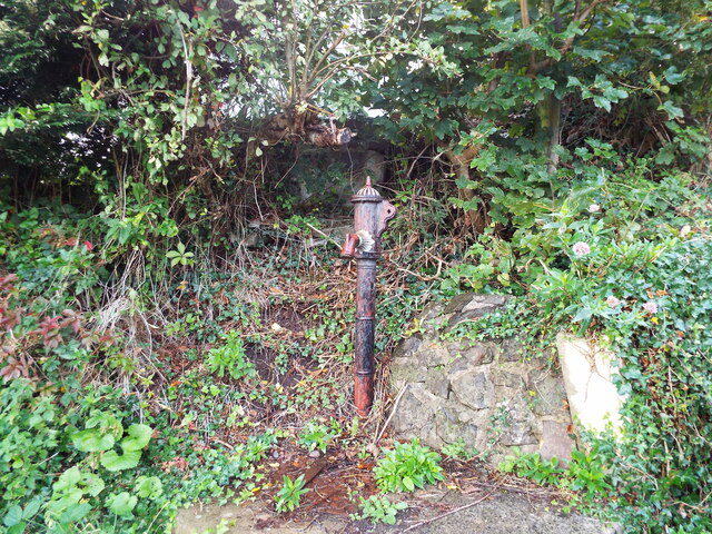
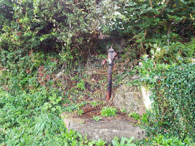
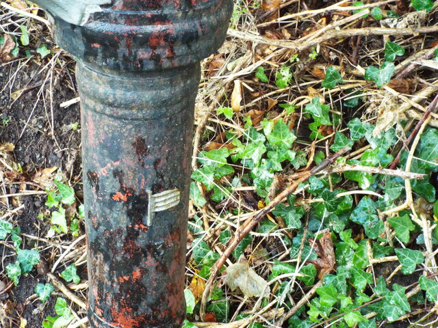
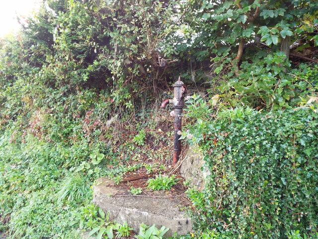
Black Rock Images
Images are sourced within 2km of 51.665691/-4.7122797 or Grid Reference SS1299. Thanks to Geograph Open Source API. All images are credited.


Black Rock is located at Grid Ref: SS1299 (Lat: 51.665691, Lng: -4.7122797)
Unitary Authority: Pembrokeshire
Police Authority: Dyfed Powys
What 3 Words
///alternate.stay.snooty. Near Tenby, Pembrokeshire
Nearby Locations
Related Wikis

Limekilns at Kiln Park, Pembrokeshire
The limekilns at Kiln Park are heritage listed disused limekilns now located in the grounds of a holiday park, Kiln Park, near the village of Penally,...

Tenby railway station
Tenby railway station in Tenby is on the Pembroke Dock branch of the West Wales Line operated by Transport for Wales Rail, who also manage the station...
Penally Abbey
Penally Abbey is an old rectory, now the Penally Abbey Country House Hotel and Restaurant overlooking Carmarthen Bay in the village of Penally, about 1...
Penally
Penally (Welsh: Penalun) is a coastal village, parish and community 1 mile (1.6 km) southwest of Tenby in Pembrokeshire, Wales. The village is known for...
Related Videos

TENBY | Full tour of Tenby Wales
Tenby is a holiday seaside town located in the South West of Wales. It is one of the most popular holiday destinations in Wales, ...

Tenby (Dinbych y pysgod). A seaside gem. WelshBloke Walking
WelshBloke Walking Tenby (Dinbych y pysgod). A seaside gem. https://en.wikipedia.org/wiki/Tenby The Lifeboat Station.

TENBY Wales | FULL TOUR from beach to town, castle and harbour!
We visit Tenby in Wales for a seaside walk along the seafront and Tenby Beach, around the harbour and the town centre streets ...

Wales Legend, Shane Williams Luxury Holiday Lodge Penally, Tenby 🏉 🏴 💦 ☀️
Dewin Bach Luxury Lodge offers spacious open plan living, with the central living area featuring French doors which open out ...
Nearby Amenities
Located within 500m of 51.665691,-4.7122797Have you been to Black Rock?
Leave your review of Black Rock below (or comments, questions and feedback).