The Bage

Settlement in Herefordshire

England

The Bage

Arthur's Stone. Sandstone Dolmen above the Golden Valley.
Arthur's Stone. Credit: Richard Webb

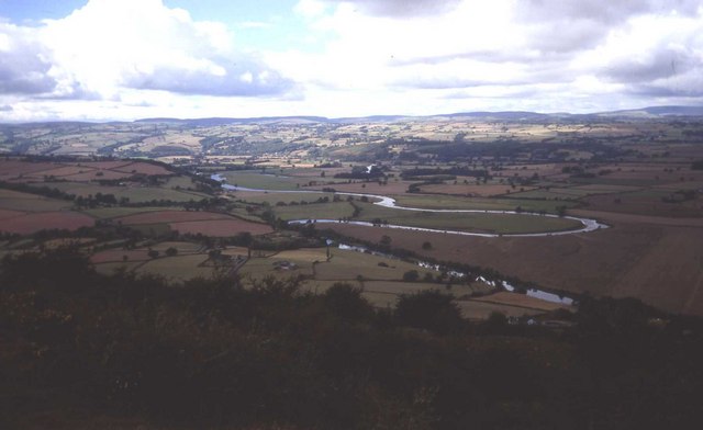
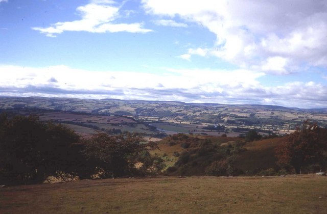
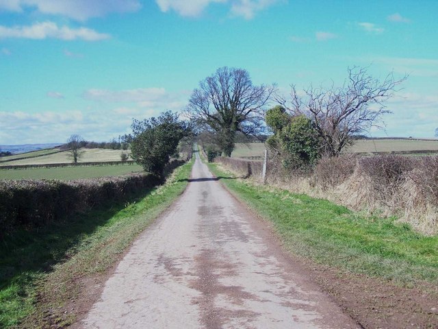
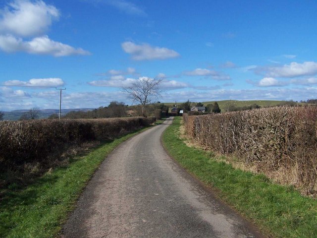
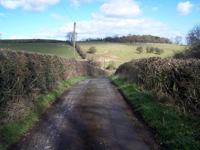
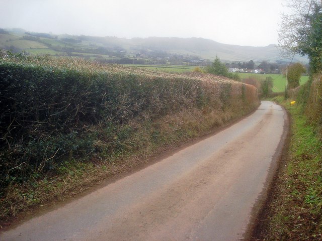
The Bage is a quaint village located in the county of Herefordshire, England. Situated in the heart of the picturesque countryside, this charming hamlet offers a tranquil and idyllic setting for its residents and visitors alike. Nestled amidst rolling green hills and surrounded by lush fields, The Bage exudes a peaceful ambiance that is quintessentially English.

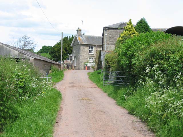
The village is home to a small population, fostering a close-knit community where locals are known for their warmth and friendliness. Traditional stone cottages line the streets, adding to the village's rustic charm. The Bage is also notable for its well-preserved historic buildings, including the medieval St. Mary's Church, which stands as a testament to the rich heritage of the area.

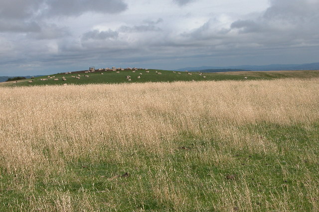
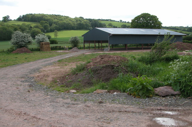
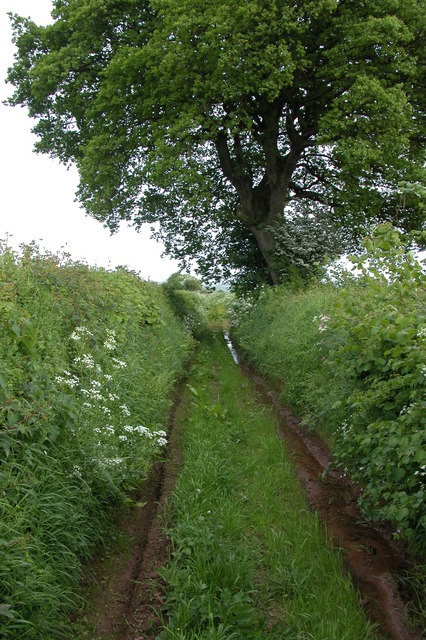
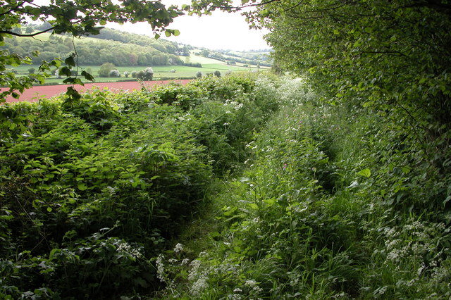
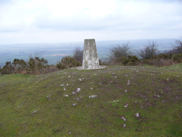
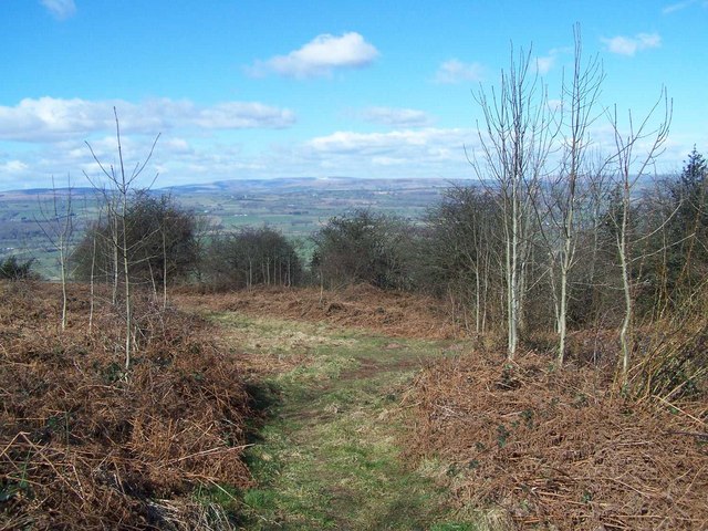
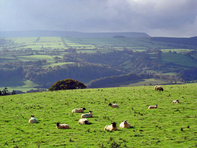
Nature enthusiasts will find themselves in paradise in The Bage, as the village is surrounded by stunning natural landscapes. The nearby River Wye, famous for its beauty and tranquility, offers opportunities for fishing, boating, and leisurely walks along its banks. Exploring the surrounding woodlands and meadows is a popular pastime, allowing visitors to immerse themselves in the natural beauty of the Herefordshire countryside.

Despite its small size, The Bage boasts a strong sense of community, with various local events and activities taking place throughout the year. The village pub, a hub of socializing, offers a cozy atmosphere to enjoy a pint of locally brewed ale or a hearty meal.

In summary, The Bage is a charming and peaceful village in Herefordshire, characterized by its stunning natural surroundings, historic buildings, and a warm community spirit. It is a haven for those seeking a tranquil retreat from the hustle and bustle of modern life.

If you have any feedback on the listing, please let us know in the comments section below.
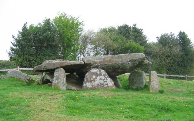
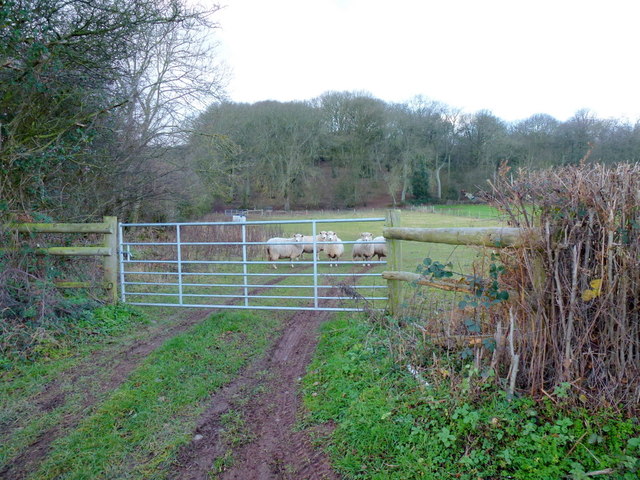
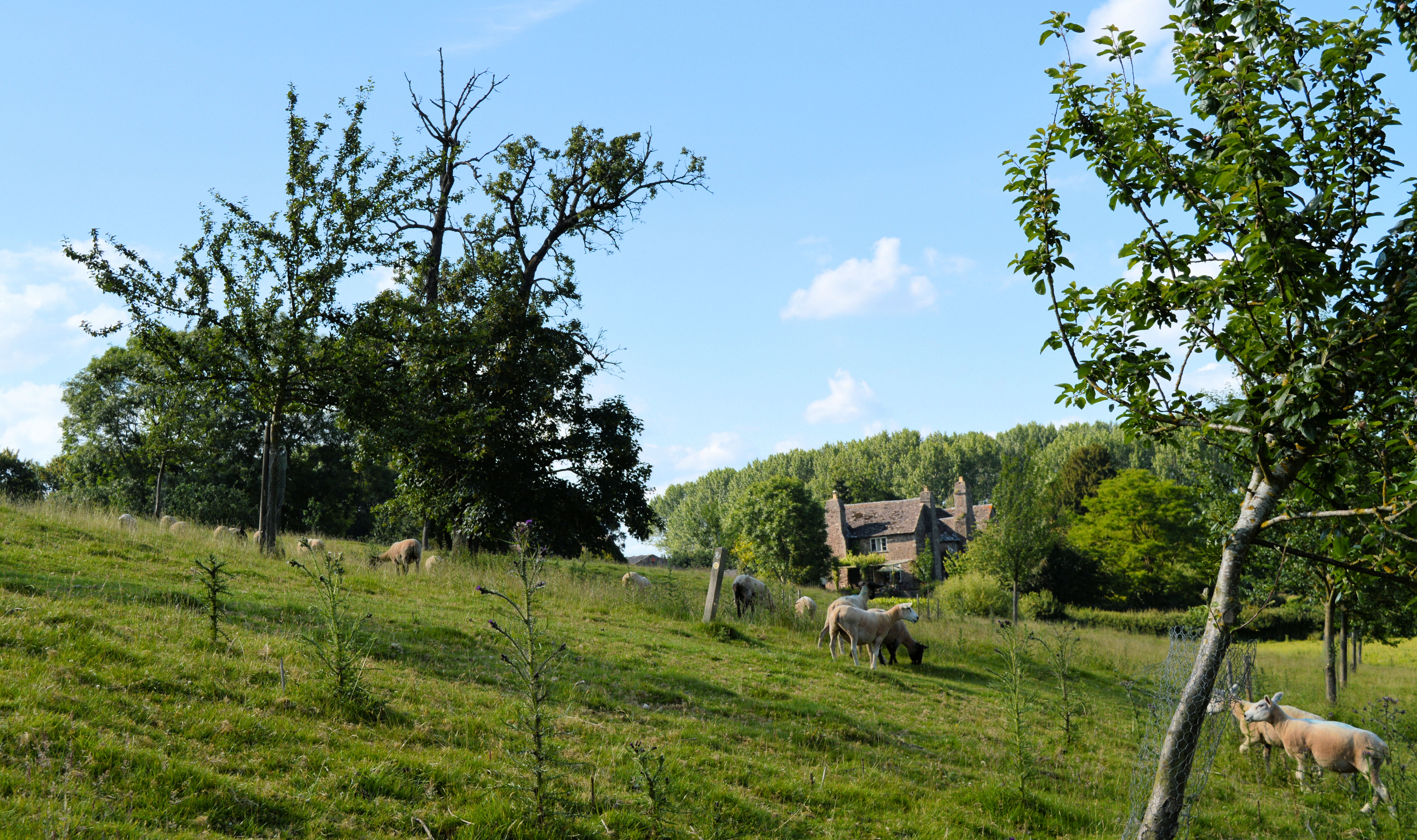
The Bage Images

Images are sourced within 2km of 52.083392/-3.0272289 or Grid Reference SO2943. Thanks to Geograph Open Source API. All images are credited.

Arthur's Stone. Sandstone Dolmen above the Golden Valley.
Arthur's Stone.
Sandstone Dolmen above the Golden Valley.
Solar powered transmitter on Merbach Hill Radio mast on Merbach Hill with a solar panel to power it. Does anyone know who put this mast up and what it is for?
Solar powered transmitter on Merbach Hill
Radio mast on Merbach Hill with a solar panel to power it. Does anyone know who put this mast up and what it is for?
Merbach Hill Sheep grazing on Merbach Hill.  This is a view to the east, in the distance is the line of the Malvern Hills, the boundary between Herefordshire and Worcestershire.
Merbach Hill
Sheep grazing on Merbach Hill. This is a view to the east, in the distance is the line of the Malvern Hills, the boundary between Herefordshire and Worcestershire.
Llan Farm
Llan Farm
New barn, near Little Bage This is a new barn built alongside the course of the old railway line which used to serve the Golden Valley. The barn is not yet shown on OS maps, it is located by the junction of Spoon Lane with Scar Lane.
New barn, near Little Bage
This is a new barn built alongside the course of the old railway line which used to serve the Golden Valley. The barn is not yet shown on OS maps, it is located by the junction of Spoon Lane with Scar Lane.
Spoon Lane, Dorstone At its northern end Spoon Lane is used as access by the farmer to nearby fields, further on it is used less frequently.
Spoon Lane, Dorstone
At its northern end Spoon Lane is used as access by the farmer to nearby fields, further on it is used less frequently.
Spoon Lane, Dorstone Spoon Lane is a green lane in the Golden Valley to the north of the village of Dorstone. In the spring it becomes quite overgrown. Fortunately I wasn't wearing shorts!
Spoon Lane, Dorstone
Spoon Lane is a green lane in the Golden Valley to the north of the village of Dorstone. In the spring it becomes quite overgrown. Fortunately I wasn't wearing shorts!
Merbach Hill trig
Merbach Hill trig
Merbach Hill and Wye meander The view from Merbach Hill over the Wye valley. Here the river does a complete reversal before flowing eastwards again.
Merbach Hill and Wye meander
The view from Merbach Hill over the Wye valley. Here the river does a complete reversal before flowing eastwards again.
Merbach Hill West side of the hill overlooking the Wye valley.
Merbach Hill
West side of the hill overlooking the Wye valley.
Herefordshire Trail
Herefordshire Trail
Herefordshire Trail
Herefordshire Trail
Near Crafta Webb
Near Crafta Webb
Footpath Junction on Merbach Hill
Hay Bluff across the Golden Valley from Dorstone Hill A surprisingly warm and sunny afternoon in October, with Hay Bluff as a backdrop across the gentle, intimate Golden Valley....
Hay Bluff across the Golden Valley from Dorstone Hill
A surprisingly warm and sunny afternoon in October, with Hay Bluff as a backdrop across the gentle, intimate Golden Valley....
Lane to Dorstone Heading east to the village in the distance below Dorstone Hill. Flurries of snow in the air.
Lane to Dorstone
Heading east to the village in the distance below Dorstone Hill. Flurries of snow in the air.
Arable land west of Dorstone The hillside above Gannols shows the red soil of Herefordshire to good effect.
Arable land west of Dorstone
The hillside above Gannols shows the red soil of Herefordshire to good effect.
Sheep pasture To the west of the B4348.
Asper Wood is beyond.
Sheep pasture
To the west of the B4348. Asper Wood is beyond.
Show me another place!

The Bage is located at Grid Ref: SO2943 (Lat: 52.083392, Lng: -3.0272289)

Unitary Authority: County of Herefordshire

Police Authority: West Mercia

What 3 Words

///bearings.dial.fortified. Near Dorstone, Herefordshire

Related Wikis

Nearby Amenities

Located within 500m of 52.083392,-3.0272289
Direction: SW
Generator Method: photovoltaic
Generator Output Electricity: yes
Generator Solar Modules: 19
Generator Source: solar
Generator Type: solar_photovoltaic_panel
Location: roof
Power: generator
Lat/Long: 52.0845993/-3.0303222
The data included in this document is from www.openstreetmap.org. The data is made available under ODbL.

Have you been to The Bage?

Leave your review of The Bage below (or comments, questions and feedback).