Newton

Settlement in Herefordshire

England

Newton

Solar powered transmitter on Merbach Hill Radio mast on Merbach Hill with a solar panel to power it. Does anyone know who put this mast up and what it is for?
Solar powered transmitter on Merbach Hill Credit: Philip Halling

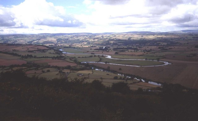
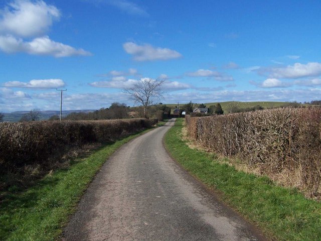
Newton is a small village located in Herefordshire, a county in the West Midlands region of England. Situated in the picturesque Wye Valley, Newton boasts stunning natural beauty and a tranquil atmosphere. It is nestled between the towns of Hereford and Hay-on-Wye, both of which are within easy reach.

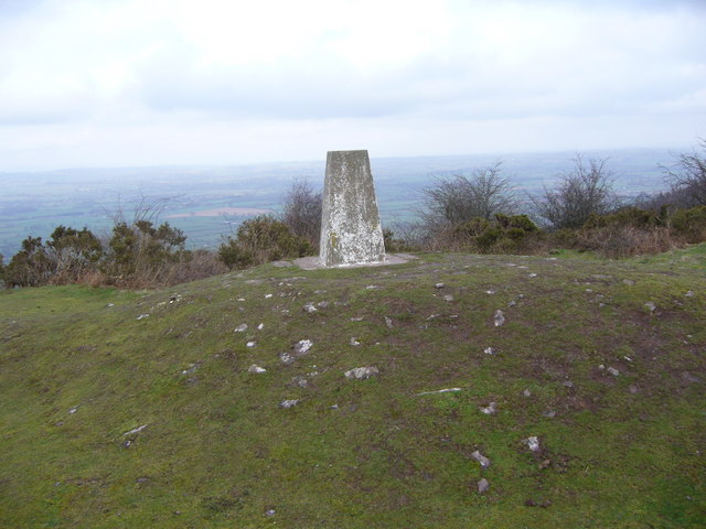
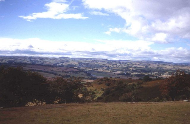
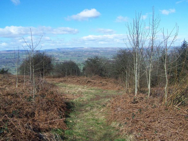
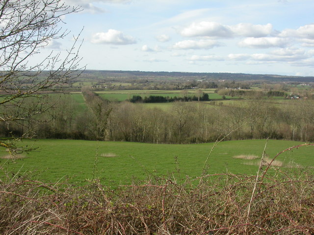
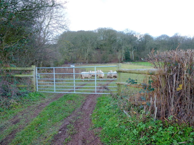
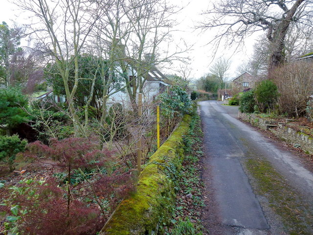
The village is characterized by its charming, traditional buildings, many of which date back several centuries. The local architecture is a blend of historic timber-framed houses and stone cottages, creating a visually appealing streetscape. The surrounding countryside is dominated by rolling hills, lush green fields, and meandering rivers, providing ample opportunities for outdoor activities such as walking, cycling, and fishing.

Despite its small size, Newton has a strong sense of community. The village is home to a close-knit population, and residents often gather at the local pub, The Newton Arms, which serves as a hub for socializing and community events. The pub offers a warm and welcoming atmosphere, along with a range of traditional pub fare and locally brewed ales.

For those seeking cultural experiences, Newton is within easy reach of several attractions. The nearby historic city of Hereford offers a wealth of amenities, including shops, restaurants, and cultural sites such as Hereford Cathedral. Additionally, the renowned book town of Hay-on-Wye, famous for its annual literature festival, is just a short drive away.

In summary, Newton is a picturesque village in Herefordshire, known for its natural beauty, historic architecture, and strong sense of community. It offers a peaceful retreat for those looking to escape the hustle and bustle of city life while still being within reach of larger towns and cultural attractions.

If you have any feedback on the listing, please let us know in the comments section below.
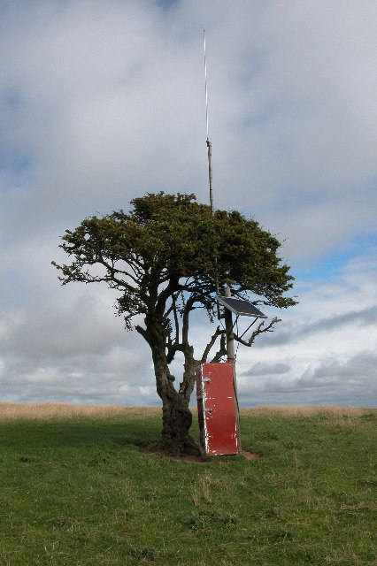
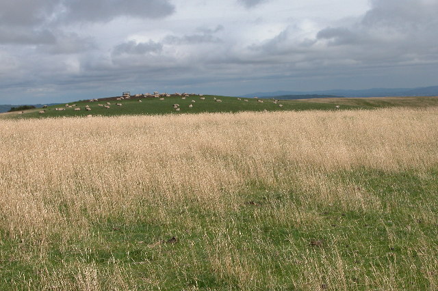
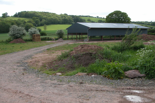
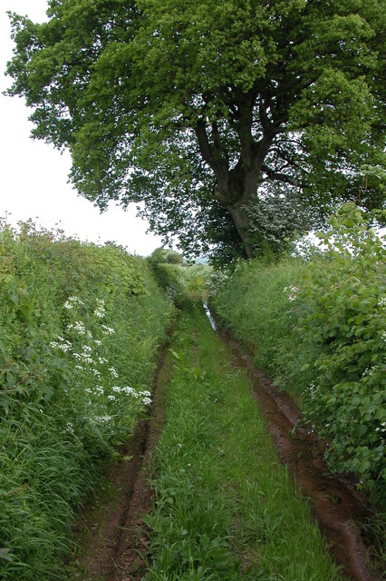
Newton Images

Images are sourced within 2km of 52.089378/-3.0357152 or Grid Reference SO2943. Thanks to Geograph Open Source API. All images are credited.

Solar powered transmitter on Merbach Hill Radio mast on Merbach Hill with a solar panel to power it. Does anyone know who put this mast up and what it is for?
Solar powered transmitter on Merbach Hill
Radio mast on Merbach Hill with a solar panel to power it. Does anyone know who put this mast up and what it is for?
Merbach Hill Sheep grazing on Merbach Hill.  This is a view to the east, in the distance is the line of the Malvern Hills, the boundary between Herefordshire and Worcestershire.
Merbach Hill
Sheep grazing on Merbach Hill. This is a view to the east, in the distance is the line of the Malvern Hills, the boundary between Herefordshire and Worcestershire.
New barn, near Little Bage This is a new barn built alongside the course of the old railway line which used to serve the Golden Valley. The barn is not yet shown on OS maps, it is located by the junction of Spoon Lane with Scar Lane.
New barn, near Little Bage
This is a new barn built alongside the course of the old railway line which used to serve the Golden Valley. The barn is not yet shown on OS maps, it is located by the junction of Spoon Lane with Scar Lane.
Spoon Lane, Dorstone At its northern end Spoon Lane is used as access by the farmer to nearby fields, further on it is used less frequently.
Spoon Lane, Dorstone
At its northern end Spoon Lane is used as access by the farmer to nearby fields, further on it is used less frequently.
Merbach Hill trig
Merbach Hill trig
Merbach Hill and Wye meander The view from Merbach Hill over the Wye valley. Here the river does a complete reversal before flowing eastwards again.
Merbach Hill and Wye meander
The view from Merbach Hill over the Wye valley. Here the river does a complete reversal before flowing eastwards again.
Merbach Hill West side of the hill overlooking the Wye valley.
Merbach Hill
West side of the hill overlooking the Wye valley.
Herefordshire Trail
Herefordshire Trail
Footpath Junction on Merbach Hill
Merbach, valley Looking North from Merbach Hill across the Wye valley.
Merbach, valley
Looking North from Merbach Hill across the Wye valley.
Sheep pasture To the west of the B4348.
Asper Wood is beyond.
Sheep pasture
To the west of the B4348. Asper Wood is beyond.
River Dore valley floor The Golden Valley is a dull mix of green and grey on this December afternoon.
River Dore valley floor
The Golden Valley is a dull mix of green and grey on this December afternoon.
Scar Cottage A hillside property connected to the Golden Valley by this narrow lane.
Scar Cottage
A hillside property connected to the Golden Valley by this narrow lane.
Spoon Lane What used to be the main route along the Golden Valley is now a green lane.
Spoon Lane
What used to be the main route along the Golden Valley is now a green lane.
Upland lane with right hand hairpin bend This narrow lane is called Arthur's Stone lane as it passes the ancient monument. Here it executes a dramatic turn.
Upland lane with right hand hairpin bend
This narrow lane is called Arthur's Stone lane as it passes the ancient monument. Here it executes a dramatic turn.
Above the Golden Valley A nearby property or farm is called Golden View. Apt indeed.
Above the Golden Valley
A nearby property or farm is called Golden View. Apt indeed.
Part of Merbach Hill in July What a spot. The weather is making statements off towards Wales and sunbeams and squalls contest territory.
Part of Merbach Hill in July
What a spot. The weather is making statements off towards Wales and sunbeams and squalls contest territory.
Trig point on Merbach Hill With the sinuous Wye far below.
Trig point on Merbach Hill
With the sinuous Wye far below.
Show me another place!

Newton is located at Grid Ref: SO2943 (Lat: 52.089378, Lng: -3.0357152)

Unitary Authority: County of Herefordshire

Police Authority: West Mercia

What 3 Words

///unhelpful.sank.impulses. Near Dorstone, Herefordshire

Related Wikis

Nearby Amenities

Located within 500m of 52.089378,-3.0357152
Bus Stop
Newton Turn
Bus: yes
Naptan AtcoCode: 2090A19846
Naptan Bearing: E
Naptan CommonName: Newton Turn
Naptan Indicator: adj
Naptan Landmark: Newton Turn
Naptan NaptanCode: herampgj
Naptan Street: B4348
Naptan Verified: no
Public Transport: platform
Source: naptan_import
Lat/Long: 52.0883966/-3.039736
Bus Stop
Newton Turn
Bus: yes
Naptan AtcoCode: 2090A19848
Naptan Bearing: W
Naptan BusStopType: CUS
Naptan CommonName: Newton Turn
Naptan Indicator: opp
Naptan Landmark: Newton Turn
Naptan NaptanCode: herampgm
Naptan Street: B4348
Naptan Verified: no
Public Transport: platform
Source: naptan_import
Lat/Long: 52.0883274/-3.0398212
Historic: milepost
Inscription: Hay 4; Peterchurch 5
Lat/Long: 52.0872874/-3.0351019
Power: pole
Lat/Long: 52.0927847/-3.0402114
The data included in this document is from www.openstreetmap.org. The data is made available under ODbL.

Have you been to Newton?

Leave your review of Newton below (or comments, questions and feedback).