Bont-goch

Settlement in Cardiganshire

Wales

Bont-goch

Road junction near Bont-goch
Road junction near Bont-goch Credit: John Lord

The requested URL returned error: 429 Too Many Requests

If you have any feedback on the listing, please let us know in the comments section below.
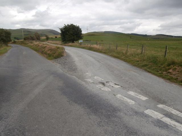
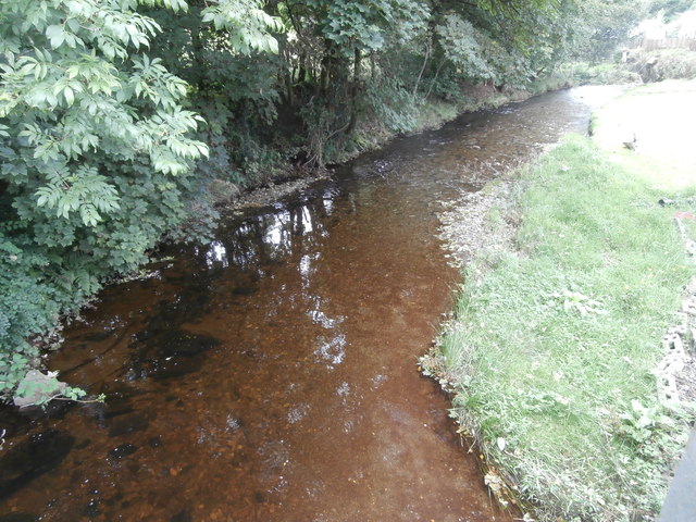
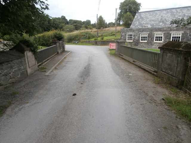
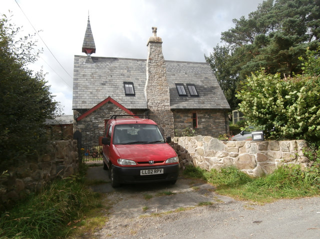
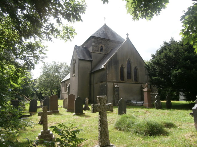
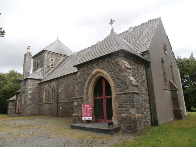
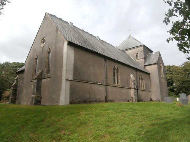
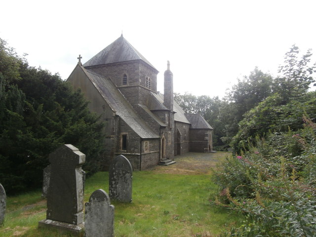
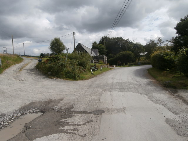
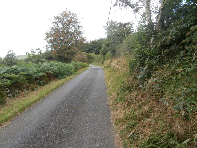
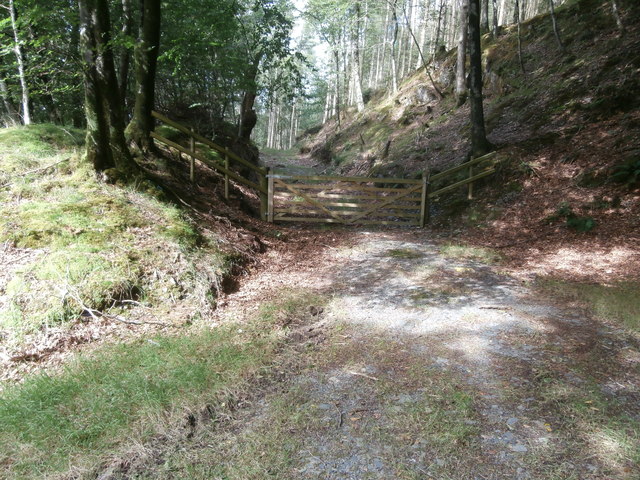
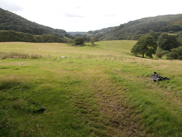
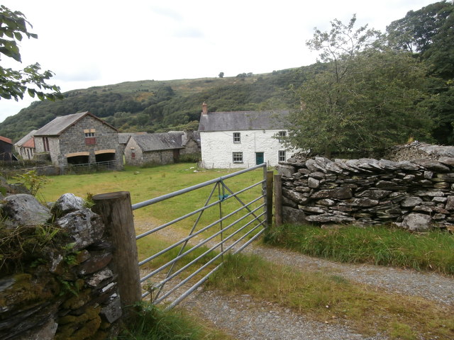
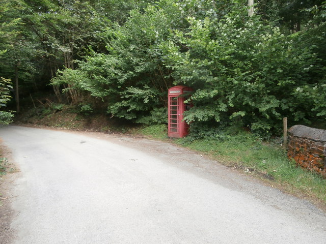
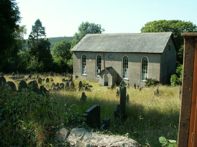
Bont-goch Images

Images are sourced within 2km of 52.458658/-3.936563 or Grid Reference SN6886. Thanks to Geograph Open Source API. All images are credited.

Road junction near Bont-goch
Afon Leri at Bont-goch
The road bridge at Bont-goch
The old school, Bont-goch, now a dwelling
Church of St Peter, Bont-goch (Elerch) Designed by William Butterfield and completed in 1868.
Church of St Peter, Bont-goch (Elerch)
Designed by William Butterfield and completed in 1868.
Church of St Peter, Bont-goch (Elerch)
Bont-goch
Bont-goch
The road a little way north of Bont-goch
Track into the woods between Bont-goch and Cwmere
Pasture near Cwmere
Pasture near Cwmere
Cwmere farm
Cwmere farm
Phone-box at Cwmere
Phone-box at Cwmere
Ordnance Survey Cut Mark This OS cut mark can be found on the SE parapet of the bridge. It marks a point 174.483m above mean sea level.
Ordnance Survey Cut Mark
This OS cut mark can be found on the SE parapet of the bridge. It marks a point 174.483m above mean sea level.
Ordnance Survey Cut Mark This OS cut mark can be found on the NW face of St Pater's Church. It marks a point 193.566m above mean sea level.
Ordnance Survey Cut Mark
This OS cut mark can be found on the NW face of St Pater's Church. It marks a point 193.566m above mean sea level.
Eglwys Sant Pedr / St Peter's Church, Bont-goch (Elerch) The church was completed in 1868 and designed by the architect, William Butterfield.
Eglwys Sant Pedr / St Peter's Church, Bont-goch (Elerch)
The church was completed in 1868 and designed by the architect, William Butterfield.
Hen bwmp dwr / An old water pump Note the modern hosepipe.
Hen bwmp dwr / An old water pump
Note the modern hosepipe.
Show me another place!

Bont-goch is located at Grid Ref: SN6886 (Lat: 52.458658, Lng: -3.936563)

Unitary Authority: Ceredigion

Police Authority: Dyfed Powys

Also known as: Pont-goch, Bont goch

What 3 Words

///pythons.tilts.repaid. Near Bow Street, Ceredigion

Related Wikis

Bont Goch

Bont Goch (also known as Bontgoch or Elerch) is a village in Ceredigion, Wales, 2 miles (3.2 km) northeast of Aberystwyth. With Talybont, it is in the...

Salem, Ceredigion

Salem is a small Welsh village in Ceredigion, located between the Afon Stewi and Nant Seilo rivers. The closest village is Penrhyn-coch. The Salem Independent...

Pen-Rhiw-Newydd

Penrhiwnewydd is a hamlet in the community of Trefeurig, Ceredigion, Wales, which is 74.1 miles (119.2 km) from Cardiff and 175.3 miles (282 km) from London...

Broginin

Broginin is a hamlet in the community of Trefeurig, Ceredigion, Wales, which is 74.6 miles (120 km) from Cardiff and 175.7 miles (282.8 km) from London...

Nearby Amenities

Located within 500m of 52.458658,-3.936563
Bontgoch
Alt Name: Elerch
Is In: Ceredigion, Wales, UK
Old Name: Bont Goch
Place: village
Source: local_knowledge
Wikidata: Q15999254
Lat/Long: 52.4595634/-3.9385348
Post Box
Post Box Mounting: brick_pillar
Post Box Type: wall
Ref: SY24 135
Lat/Long: 52.457316/-3.9399885
Building: yes
Lat/Long: 52.4566463/-3.9396137
Building: yes
Lat/Long: 52.4578781/-3.9371422
Place Of Worship
Saint Peter
Religion: christian
Wikidata: Q17743804
Lat/Long: 52.4601621/-3.9381201
Direction: 80
Generator Method: photovoltaic
Generator Output Electricity: yes
Generator Solar Modules: 8
Generator Source: solar
Generator Type: solar_photovoltaic_panel
Location: roof
Power: generator
Lat/Long: 52.4588296/-3.9387019
Direction: 260
Generator Method: photovoltaic
Generator Output Electricity: yes
Generator Solar Modules: 8
Generator Source: solar
Generator Type: solar_photovoltaic_panel
Location: roof
Power: generator
Lat/Long: 52.4588622/-3.9387542
Direction: SSE
Generator Method: photovoltaic
Generator Output Electricity: yes
Generator Solar Modules: 8
Generator Source: solar
Generator Type: solar_photovoltaic_panel
Location: roof
Power: generator
Lat/Long: 52.4607965/-3.9358896
Direction: SSE
Generator Method: photovoltaic
Generator Output Electricity: yes
Generator Solar Modules: 8
Generator Source: solar
Generator Type: solar_photovoltaic_panel
Location: roof
Power: generator
Lat/Long: 52.460763/-3.9360479
Direction: 175
Generator Method: photovoltaic
Generator Output Electricity: yes
Generator Solar Modules: 8
Generator Source: solar
Generator Type: solar_photovoltaic_panel
Location: roof
Power: generator
Lat/Long: 52.4604966/-3.9372388
Direction: 165
Generator Method: photovoltaic
Generator Output Electricity: yes
Generator Solar Modules: 22
Generator Source: solar
Generator Type: solar_photovoltaic_panel
Location: roof
Power: generator
Lat/Long: 52.4603519/-3.93884
Telephone
Booth: K6
Covered: booth
Lat/Long: 52.4575176/-3.9397277
The data included in this document is from www.openstreetmap.org. The data is made available under ODbL.

Have you been to Bont-goch?

Leave your review of Bont-goch below (or comments, questions and feedback).