Tanlan

Settlement in Flintshire

Wales

Tanlan

WWII defences of North Wales: Gwespyr Royal Naval Radar Station  (1) Overlooking the approaches to the mouths of the Dee and Mersey estuaries, the station was primarily used in a surface and coastal watching role, plotting ship movements, and keeping a close watch for enemy submarines. The station was one of only four other stations, all of which were in northern Scotland, and was only operational for a short time between December 1942 and October 1944. It was equipped with a type T273 Coastal Defence centimetric radar using a rotating parabolic dish antenna. Some of the buildings associated with the station still survive, albeit as ruins. The base of what was the guard picket post can be seen here in the foreground at the entrance to the site.

<a href="https://www.geograph.org.uk/photo/6943912">SJ1083 : WWII defences of North Wales: Gwespyr Royal Naval Radar Station  (2)</a>
WWII defences of North Wales: Gwespyr Royal Naval Radar Station (1) Credit: Mike Searle

Tanlan is a small village located in Flintshire, Wales. It is situated near the town of Mold and is surrounded by picturesque countryside and rolling hills. The village is home to a tight-knit community of residents who take pride in their rural surroundings.

Tanlan is primarily a residential area, with a mix of traditional Welsh cottages and newer housing developments. The village has a small primary school, church, and community center, providing essential services for its residents.

The village is well-connected by road, with easy access to the nearby towns of Mold and Buckley. There are also regular bus services that run through Tanlan, providing transportation to other parts of Flintshire and beyond.

In terms of amenities, Tanlan offers a few local shops and pubs, as well as beautiful walking trails and outdoor recreational areas for residents to enjoy. The village is known for its peaceful and tranquil atmosphere, making it a popular choice for those looking to escape the hustle and bustle of city life.

If you have any feedback on the listing, please let us know in the comments section below.
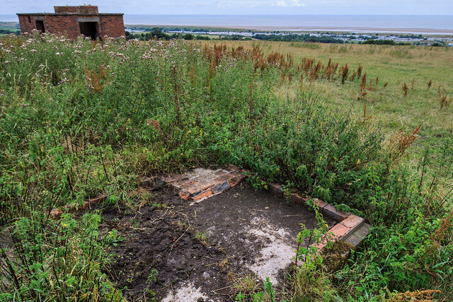
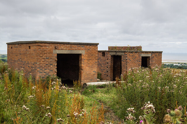
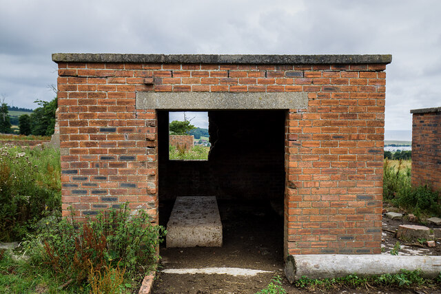
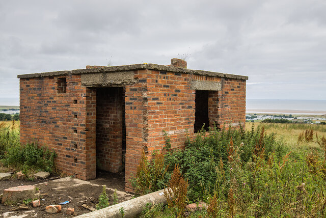
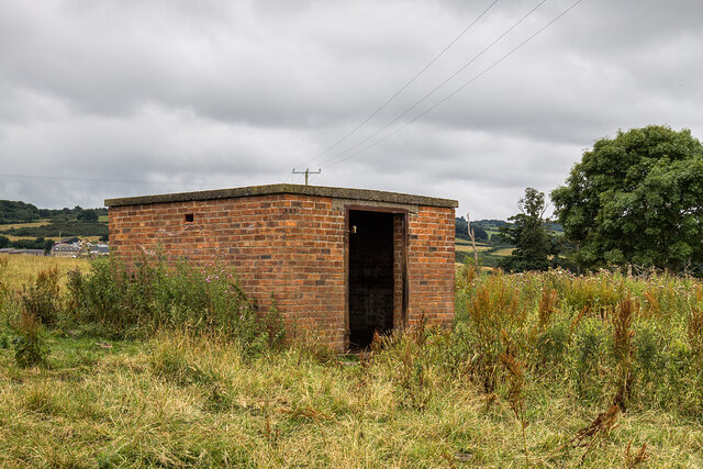
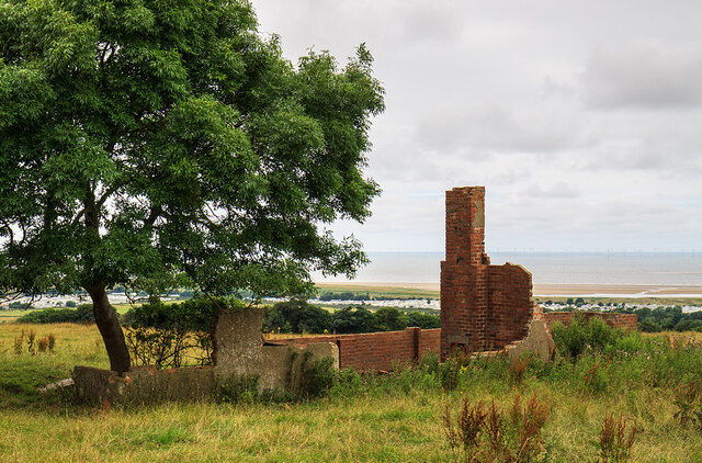
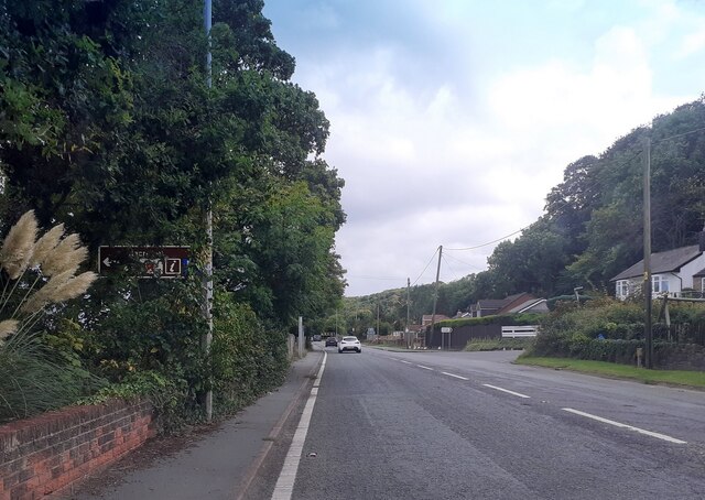
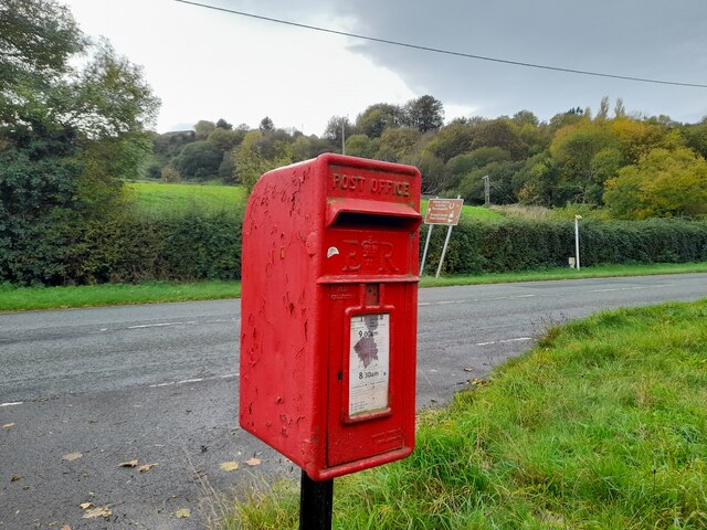
Tanlan Images

Images are sourced within 2km of 53.335016/-3.315506 or Grid Reference SJ1282. Thanks to Geograph Open Source API. All images are credited.

WWII defences of North Wales: Gwespyr Royal Naval Radar Station  (1) Overlooking the approaches to the mouths of the Dee and Mersey estuaries, the station was primarily used in a surface and coastal watching role, plotting ship movements, and keeping a close watch for enemy submarines. The station was one of only four other stations, all of which were in northern Scotland, and was only operational for a short time between December 1942 and October 1944. It was equipped with a type T273 Coastal Defence centimetric radar using a rotating parabolic dish antenna. Some of the buildings associated with the station still survive, albeit as ruins. The base of what was the guard picket post can be seen here in the foreground at the entrance to the site.

<a href="https://www.geograph.org.uk/photo/6943912">SJ1083 : WWII defences of North Wales: Gwespyr Royal Naval Radar Station  (2)</a>
WWII defences of North Wales: Gwespyr Royal Naval Radar Station (1)
Overlooking the approaches to the mouths of the Dee and Mersey estuaries, the station was primarily used in a surface and coastal watching role, plotting ship movements, and keeping a close watch for enemy submarines. The station was one of only four other stations, all of which were in northern Scotland, and was only operational for a short time between December 1942 and October 1944. It was equipped with a type T273 Coastal Defence centimetric radar using a rotating parabolic dish antenna. Some of the buildings associated with the station still survive, albeit as ruins. The base of what was the guard picket post can be seen here in the foreground at the entrance to the site. SJ1083 : WWII defences of North Wales: Gwespyr Royal Naval Radar Station (2)
WWII defences of North Wales: Gwespyr Royal Naval Radar Station  (2) Two buildings, the one on the left housed the T273 naval CD transmitter/receiver equipment, and on the right, the radar plinth that contained turning gear for a rotating antenna on the roof within the circular brick parapet.

<a href="https://www.geograph.org.uk/photo/6943914">SJ1083 : WWII defences of North Wales: Gwespyr Royal Naval Radar Station  (3)</a>
WWII defences of North Wales: Gwespyr Royal Naval Radar Station (2)
Two buildings, the one on the left housed the T273 naval CD transmitter/receiver equipment, and on the right, the radar plinth that contained turning gear for a rotating antenna on the roof within the circular brick parapet. SJ1083 : WWII defences of North Wales: Gwespyr Royal Naval Radar Station (3)
WWII defences of North Wales: Gwespyr Royal Naval Radar Station  (3) The Tx/Rx building.

<a href="https://www.geograph.org.uk/photo/6943943">SJ1083 : WWII defences of North Wales: Gwespyr Royal Naval Radar Station  (4)</a>
WWII defences of North Wales: Gwespyr Royal Naval Radar Station (3)
WWII defences of North Wales: Gwespyr Royal Naval Radar Station  (4) Radar plinth, the building that housed the turning gear for a roof mounted parabolic antenna.

<a href="https://www.geograph.org.uk/photo/6943957">SJ1083 : WWII defences of North Wales: Gwespyr Royal Naval Radar Station  (5)</a>
WWII defences of North Wales: Gwespyr Royal Naval Radar Station (4)
Radar plinth, the building that housed the turning gear for a roof mounted parabolic antenna. SJ1083 : WWII defences of North Wales: Gwespyr Royal Naval Radar Station (5)
WWII defences of North Wales: Gwespyr Royal Naval Radar Station  (5) Standby power generator building.

<a href="https://www.geograph.org.uk/photo/6943958">SJ1083 : WWII defences of North Wales: Gwespyr Royal Naval Radar Station  (6)</a>
WWII defences of North Wales: Gwespyr Royal Naval Radar Station (5)
WWII defences of North Wales: Gwespyr Royal Naval Radar Station  (6) Remains of the Army guard accommodation.

START: <a href="https://www.geograph.org.uk/photo/6943910">SJ1083 : WWII defences of North Wales: Gwespyr Royal Naval Radar Station  (1)</a>
WWII defences of North Wales: Gwespyr Royal Naval Radar Station (6)
North Lodge, Gyrn Castle
A548 north of Gwespyr
A548 at Tan Lan
A548 at Tan Lan
Postbox by the A548 CH8 29. Royal Mail list this box as 'Tan Y Coed'.
Postbox by the A548
CH8 29. Royal Mail list this box as 'Tan Y Coed'.
Dee estuary
Dee estuary
Dee Estuary
Dee Estuary
Point of Ayre Gas Terminal
A truck of nutty slack Mike Owens' sculpture of a coalminer and pit pony is pulling a real truck of nutty slack (presumably decent-sized lumps of coal would be too liable to theft). Unveiled in 1997, the work commemorates the last deep pit in the Flint and Denbigh coalfield, closed in 1996. I'm not convinced that the red bow tie is a wholly authentic bit of history - perhaps it has been added later by someone other than the original creator?
A truck of nutty slack
Mike Owens' sculpture of a coalminer and pit pony is pulling a real truck of nutty slack (presumably decent-sized lumps of coal would be too liable to theft). Unveiled in 1997, the work commemorates the last deep pit in the Flint and Denbigh coalfield, closed in 1996. I'm not convinced that the red bow tie is a wholly authentic bit of history - perhaps it has been added later by someone other than the original creator?
Point of Ayr Nature Reserve Taken from the RSPB bird hide, the view looks across salt marsh to sand and shingle bordering one channel draining the area. Most of the birds in sight are Oystercatchers, but the lone dark speck, centre view, is a Peregrine Falcon which was resting after spending some time attempting (and failing) to bring down a Lapwing. Beyond the reserve the view extends to numerous turbines of the huge offshore wind farm which sits off much of the North Wales coast, serviced from Mostyn, a short way to the east.
Point of Ayr Nature Reserve
Taken from the RSPB bird hide, the view looks across salt marsh to sand and shingle bordering one channel draining the area. Most of the birds in sight are Oystercatchers, but the lone dark speck, centre view, is a Peregrine Falcon which was resting after spending some time attempting (and failing) to bring down a Lapwing. Beyond the reserve the view extends to numerous turbines of the huge offshore wind farm which sits off much of the North Wales coast, serviced from Mostyn, a short way to the east.
Study of a Gasoline Station Esso, Gwespyr.

 This photograph is part of a series taken in homage to the American artist Ed Ruscha's 1963 publication of 'Twentysix Gasoline Stations'.
 More properly known as filling stations in the UK, I am attempting to photograph as many as possible to mark the sixty year anniversary.
Study of a Gasoline Station
Esso, Gwespyr. This photograph is part of a series taken in homage to the American artist Ed Ruscha's 1963 publication of 'Twentysix Gasoline Stations'. More properly known as filling stations in the UK, I am attempting to photograph as many as possible to mark the sixty year anniversary.
Welcome to the Nature Reserve
Mud, cockleshells and the North Wales mainline railway At the edge of the Dee Estuary, looking S.E. towards Mostyn Dock. The railway is up on the very substantial embankment
Mud, cockleshells and the North Wales mainline railway
At the edge of the Dee Estuary, looking S.E. towards Mostyn Dock. The railway is up on the very substantial embankment
Show me another place!

Tanlan is located at Grid Ref: SJ1282 (Lat: 53.335016, Lng: -3.315506)

Unitary Authority: Flintshire

Police Authority: North Wales

What 3 Words

///crafts.stumpy.marker. Near Gronant, Flintshire

Related Wikis

Pen-y-ffordd

Pen-y-ffordd is a hamlet in Flintshire, Wales. It is located between Holywell and Prestatyn, to the north west of Mostyn. The actor and writer Emlyn Williams...

Ffynnongroew

Ffynnongroyw (sometimes spelled Ffynnongroew) is a village in Flintshire, north Wales. It is situated on the A548 road, near the Dee Estuary coast, near...

Gwespyr

Gwespyr is a village in Flintshire on the north coast of Wales in the community of Llanasa. Gwespyr had a population of 289 people in the United Kingdom...

Talacre railway station

Talacre railway station served the village of Talacre, near Prestatyn on the North Wales Coast Line. == History == The station was opened in 1903 by the...

Nearby Amenities

Located within 500m of 53.335016,-3.315506
Power: pole
Lat/Long: 53.3371514/-3.309932
Power: pole
Lat/Long: 53.3365814/-3.3088376
Power: pole
Lat/Long: 53.3377217/-3.3110371
Power: pole
Lat/Long: 53.3388203/-3.3131453
Power: pole
Lat/Long: 53.338263/-3.3120777
Bus Stop
Tanlan Banks, A458 / Tanlan Farm
Bus: yes
Naptan AtcoCode: 5120WDB25443
Naptan Bearing: SE
Naptan CommonName: Tanlan Farm
Naptan Indicator: nr
Naptan Landmark: Farfield
Naptan LocalityName: Tanlan Banks
Naptan NaptanCode: flijgjd
Naptan Street: A458
Public Transport: platform
Shelter: no
Source: naptan_import
Timetable: yes
Lat/Long: 53.3357667/-3.31903
Power: pole
Lat/Long: 53.3309281/-3.3135738
Power: pole
Lat/Long: 53.3316398/-3.313308
Power: pole
Lat/Long: 53.3323364/-3.3130634
Power: pole
Lat/Long: 53.333141/-3.3127764
Power: pole
Lat/Long: 53.3340959/-3.3124612
Power: pole
Lat/Long: 53.3376991/-3.3124185
Power: pole
Lat/Long: 53.3352004/-3.3125524
Power: pole
Lat/Long: 53.3360221/-3.3132376
Power: pole
Lat/Long: 53.3367465/-3.3138295
Power: pole
Lat/Long: 53.3374639/-3.3144138
Power: pole
Lat/Long: 53.3385324/-3.314342
Power: pole
Lat/Long: 53.3387688/-3.3144138
Power: pole
Lat/Long: 53.3383481/-3.3134782
Power: pole
Lat/Long: 53.3394781/-3.3151086
Power: pole
Lat/Long: 53.3320036/-3.3195815
Power: pole
Lat/Long: 53.3326765/-3.3208249
Tanlan
Place: hamlet
Lat/Long: 53.3355944/-3.3150136
Post Box
Collection Times: Mo-Fr 11:00; Sa 08:30
Operator: Royal Mail
Post Box Type: lamp
Ref: CH8 19
Source: survey
Lat/Long: 53.3360314/-3.3198985
Direction: SSW
Generator Method: photovoltaic
Generator Output Electricity: yes
Generator Solar Modules: 16
Generator Source: solar
Generator Type: solar_photovoltaic_panel
Location: roof
Power: generator
Lat/Long: 53.3333973/-3.3103086
Bus Stop
Glasdir, A548 / Redwater Wood
Bus: yes
Naptan AtcoCode: 5120WDB25444
Naptan Bearing: SE
Naptan CommonName: Redwater Wood
Naptan Indicator: nr
Naptan LocalityName: Glasdir
Naptan NaptanCode: flijgjg
Naptan Street: A548
Public Transport: platform
Source: naptan_import
Lat/Long: 53.3338531/-3.3127523
Bus Stop
Glasdir, A548 / Redwater Wood
Bus: yes
Naptan AtcoCode: 5120AWF80838
Naptan Bearing: NW
Naptan CommonName: Redwater Wood
Naptan Indicator: nr
Naptan LocalityName: Glasdir
Naptan NaptanCode: fliatga
Naptan Street: A548
Public Transport: platform
Source: naptan_import
Lat/Long: 53.3339385/-3.3134781
Bus Stop
Tanlan Banks, A548 / Tanlan Farm
Bus: yes
Naptan AtcoCode: 5120AWF80839
Naptan Bearing: NW
Naptan CommonName: Tanlan Farm
Naptan Indicator: nr
Naptan Landmark: Tanlan Farm
Naptan LocalityName: Tanlan Banks
Naptan NaptanCode: flijdaj
Naptan Street: A548
Public Transport: platform
Source: naptan_import
Lat/Long: 53.3350966/-3.3172772
Power: pole
Lat/Long: 53.3307035/-3.3167271
The data included in this document is from www.openstreetmap.org. The data is made available under ODbL.

Have you been to Tanlan?

Leave your review of Tanlan below (or comments, questions and feedback).