Glasdir

Settlement in Flintshire

Wales

Glasdir

WWII defences of North Wales: Gwespyr Royal Naval Radar Station  (1) Overlooking the approaches to the mouths of the Dee and Mersey estuaries, the station was primarily used in a surface and coastal watching role, plotting ship movements, and keeping a close watch for enemy submarines. The station was one of only four other stations, all of which were in northern Scotland, and was only operational for a short time between December 1942 and October 1944. It was equipped with a type T273 Coastal Defence centimetric radar using a rotating parabolic dish antenna. Some of the buildings associated with the station still survive, albeit as ruins. The base of what was the guard picket post can be seen here in the foreground at the entrance to the site.

<a href="https://www.geograph.org.uk/photo/6943912">SJ1083 : WWII defences of North Wales: Gwespyr Royal Naval Radar Station  (2)</a>
WWII defences of North Wales: Gwespyr Royal Naval Radar Station (1) Credit: Mike Searle

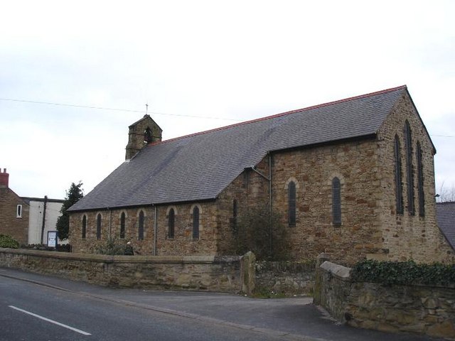
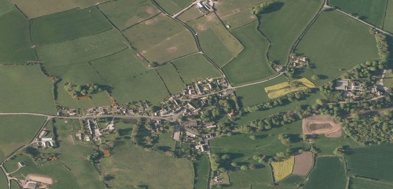
Glasdir is a small village located in the county of Flintshire, in the northeast of Wales, United Kingdom. Situated approximately 3 miles southwest of the town of Ruthin, Glasdir is nestled in a picturesque rural setting with beautiful countryside views.

The village is known for its close-knit community and its tranquil atmosphere, making it an ideal place for those seeking a peaceful retreat. The area is predominantly residential, consisting of a mix of traditional cottages and more modern houses. The architecture reflects the village's rich history and its connection to the agricultural heritage of the region.

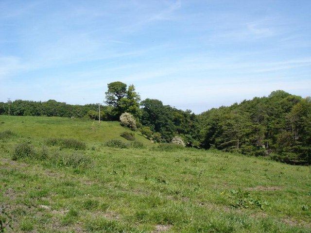
Glasdir is surrounded by rolling hills and lush farmland, providing ample opportunities for outdoor activities such as hiking, cycling, and horse riding. The nearby Clwydian Range, a designated Area of Outstanding Natural Beauty, offers stunning landscapes and is a popular destination for nature lovers.

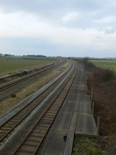
Despite its rural location, the village benefits from good transport links, with easy access to the A494 road, connecting it to nearby towns and cities. The village also has a regular bus service, ensuring residents can easily travel to surrounding areas for work or leisure.

Although Glasdir itself does not have extensive amenities, it is within a short distance of Ruthin, which offers a wider range of facilities including shops, supermarkets, schools, and healthcare services. Additionally, the village benefits from a strong sense of community spirit, with various social and recreational activities organized throughout the year.

Overall, Glasdir is a charming village that offers a peaceful and scenic lifestyle, making it an attractive place for those looking to embrace the tranquility of rural living.

If you have any feedback on the listing, please let us know in the comments section below.
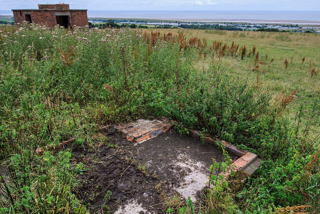
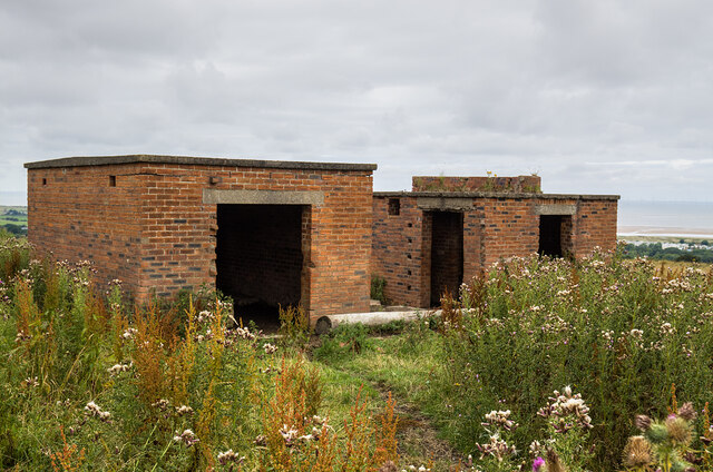
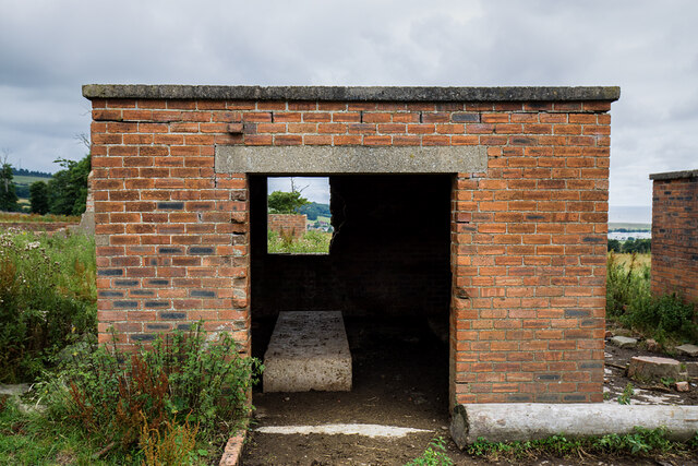
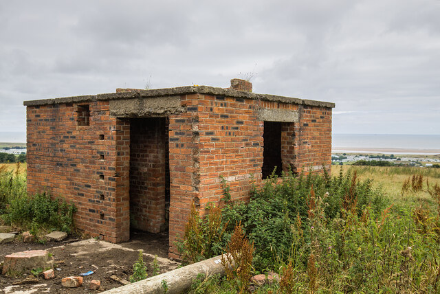
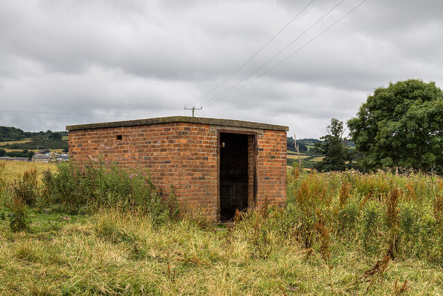
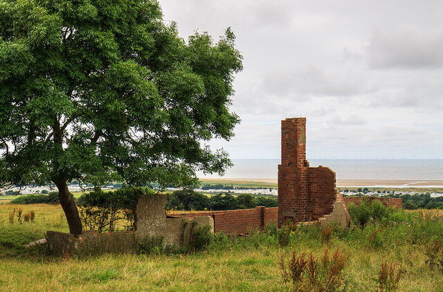
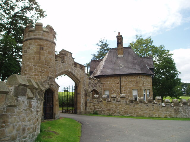
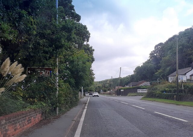
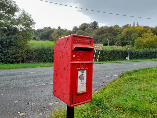
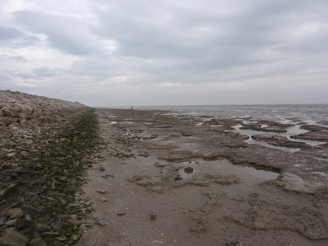
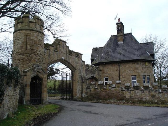
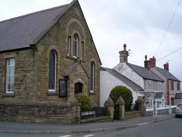
Glasdir Images

Images are sourced within 2km of 53.327573/-3.3227512 or Grid Reference SJ1282. Thanks to Geograph Open Source API. All images are credited.

WWII defences of North Wales: Gwespyr Royal Naval Radar Station  (1) Overlooking the approaches to the mouths of the Dee and Mersey estuaries, the station was primarily used in a surface and coastal watching role, plotting ship movements, and keeping a close watch for enemy submarines. The station was one of only four other stations, all of which were in northern Scotland, and was only operational for a short time between December 1942 and October 1944. It was equipped with a type T273 Coastal Defence centimetric radar using a rotating parabolic dish antenna. Some of the buildings associated with the station still survive, albeit as ruins. The base of what was the guard picket post can be seen here in the foreground at the entrance to the site.

<a href="https://www.geograph.org.uk/photo/6943912">SJ1083 : WWII defences of North Wales: Gwespyr Royal Naval Radar Station  (2)</a>
WWII defences of North Wales: Gwespyr Royal Naval Radar Station (1)
Overlooking the approaches to the mouths of the Dee and Mersey estuaries, the station was primarily used in a surface and coastal watching role, plotting ship movements, and keeping a close watch for enemy submarines. The station was one of only four other stations, all of which were in northern Scotland, and was only operational for a short time between December 1942 and October 1944. It was equipped with a type T273 Coastal Defence centimetric radar using a rotating parabolic dish antenna. Some of the buildings associated with the station still survive, albeit as ruins. The base of what was the guard picket post can be seen here in the foreground at the entrance to the site. SJ1083 : WWII defences of North Wales: Gwespyr Royal Naval Radar Station (2)
WWII defences of North Wales: Gwespyr Royal Naval Radar Station  (2) Two buildings, the one on the left housed the T273 naval CD transmitter/receiver equipment, and on the right, the radar plinth that contained turning gear for a rotating antenna on the roof within the circular brick parapet.

<a href="https://www.geograph.org.uk/photo/6943914">SJ1083 : WWII defences of North Wales: Gwespyr Royal Naval Radar Station  (3)</a>
WWII defences of North Wales: Gwespyr Royal Naval Radar Station (2)
Two buildings, the one on the left housed the T273 naval CD transmitter/receiver equipment, and on the right, the radar plinth that contained turning gear for a rotating antenna on the roof within the circular brick parapet. SJ1083 : WWII defences of North Wales: Gwespyr Royal Naval Radar Station (3)
WWII defences of North Wales: Gwespyr Royal Naval Radar Station  (3) The Tx/Rx building.

<a href="https://www.geograph.org.uk/photo/6943943">SJ1083 : WWII defences of North Wales: Gwespyr Royal Naval Radar Station  (4)</a>
WWII defences of North Wales: Gwespyr Royal Naval Radar Station (3)
WWII defences of North Wales: Gwespyr Royal Naval Radar Station  (4) Radar plinth, the building that housed the turning gear for a roof mounted parabolic antenna.

<a href="https://www.geograph.org.uk/photo/6943957">SJ1083 : WWII defences of North Wales: Gwespyr Royal Naval Radar Station  (5)</a>
WWII defences of North Wales: Gwespyr Royal Naval Radar Station (4)
Radar plinth, the building that housed the turning gear for a roof mounted parabolic antenna. SJ1083 : WWII defences of North Wales: Gwespyr Royal Naval Radar Station (5)
WWII defences of North Wales: Gwespyr Royal Naval Radar Station  (5) Standby power generator building.

<a href="https://www.geograph.org.uk/photo/6943958">SJ1083 : WWII defences of North Wales: Gwespyr Royal Naval Radar Station  (6)</a>
WWII defences of North Wales: Gwespyr Royal Naval Radar Station (5)
WWII defences of North Wales: Gwespyr Royal Naval Radar Station  (6) Remains of the Army guard accommodation.

START: <a href="https://www.geograph.org.uk/photo/6943910">SJ1083 : WWII defences of North Wales: Gwespyr Royal Naval Radar Station  (1)</a>
WWII defences of North Wales: Gwespyr Royal Naval Radar Station (6)
North Lodge, Gyrn Castle
A548 north of Gwespyr
A548 at Tan Lan
A548 at Tan Lan
Postbox by the A548 CH8 29. Royal Mail list this box as 'Tan Y Coed'.
Postbox by the A548
CH8 29. Royal Mail list this box as 'Tan Y Coed'.
Point of Ayre Gas Terminal
Guidepost at road junction, Trelogan WHITFORD
HOLYWELL
GLANRAFON
Guidepost at road junction, Trelogan
WHITFORD HOLYWELL GLANRAFON
Damaged benchmark on derelict building, Trelogan For more details see: <span class="nowrap"><a title="https://www.bench-marks.org.uk/bm180728" rel="nofollow ugc noopener" href="https://www.bench-marks.org.uk/bm180728">Link</a><img style="margin-left:2px;" alt="External link" title="External link - shift click to open in new window" src="https://s1.geograph.org.uk/img/external.png" width="10" height="10"/></span>
Damaged benchmark on derelict building, Trelogan
For more details see: LinkExternal link
Study of a Gasoline Station Esso, Gwespyr.

 This photograph is part of a series taken in homage to the American artist Ed Ruscha's 1963 publication of 'Twentysix Gasoline Stations'.
 More properly known as filling stations in the UK, I am attempting to photograph as many as possible to mark the sixty year anniversary.
Study of a Gasoline Station
Esso, Gwespyr. This photograph is part of a series taken in homage to the American artist Ed Ruscha's 1963 publication of 'Twentysix Gasoline Stations'. More properly known as filling stations in the UK, I am attempting to photograph as many as possible to mark the sixty year anniversary.
Mud, cockleshells and the North Wales mainline railway At the edge of the Dee Estuary, looking S.E. towards Mostyn Dock. The railway is up on the very substantial embankment
Mud, cockleshells and the North Wales mainline railway
At the edge of the Dee Estuary, looking S.E. towards Mostyn Dock. The railway is up on the very substantial embankment
Mud at the edge of the Dee Estuary On the left is a substantial flood embankment. Where the map shows Sand and Mud, this area is all mud, and not to be walked on.
Mud at the edge of the Dee Estuary
On the left is a substantial flood embankment. Where the map shows Sand and Mud, this area is all mud, and not to be walked on.
On the flood barrier Estuarine mud on the right, scrubland and ponds on the left.
On the flood barrier
Estuarine mud on the right, scrubland and ponds on the left.
Looking south from the flood barrier over the largest of the ponds Estuarine mud on the left
Looking south from the flood barrier over the largest of the ponds
Estuarine mud on the left
Show me another place!

Glasdir is located at Grid Ref: SJ1282 (Lat: 53.327573, Lng: -3.3227512)

Unitary Authority: Flintshire

Police Authority: North Wales

What 3 Words

///gentle.discloses.massive. Near Gronant, Flintshire

Related Wikis

Gyrn Castle

Gyrn Castle is a Grade II-listed castellated mansion in Llanasa in Flintshire. == History == It was built between 1817 and 1824 by John Douglas, who incorporated...

Gwespyr

Gwespyr is a village in Flintshire on the north coast of Wales in the community of Llanasa. Gwespyr had a population of 289 people in the United Kingdom...

Pen-y-ffordd

Pen-y-ffordd is a hamlet in Flintshire, Wales. It is located between Holywell and Prestatyn, to the north west of Mostyn. The actor and writer Emlyn Williams...

Ffynnongroew

Ffynnongroyw (sometimes spelled Ffynnongroew) is a village in Flintshire, north Wales. It is situated on the A548 road, near the Dee Estuary coast, near...

Llanasa

Llanasa is a village and community in the county of Flintshire, north-east Wales. Llanasa is described as one of the ancient parishes of Flintshire. It...

Trelogan

Trelogan is a village in Flintshire, north east Wales. It is located between Mostyn and Trelawnyd and is almost contiguous with Berthengam. Trelogan had...

Talacre railway station

Talacre railway station served the village of Talacre, near Prestatyn on the North Wales Coast Line. == History == The station was opened in 1903 by the...

Talacre

Talacre is a village in Flintshire on the north coast of Wales in the community of Llanasa and the electoral ward of Ffynnongroyw, and is the northernmost...

Nearby Amenities

Located within 500m of 53.327573,-3.3227512
Ref: 25
Lat/Long: 53.3241862/-3.3274694
Glan-yr-afon
Place: village
Lat/Long: 53.3243128/-3.3270832
Picton
Place: village
Wikidata: Q107032871
Lat/Long: 53.329039/-3.3247674
Power: pole
Lat/Long: 53.3261084/-3.3170276
Power: pole
Lat/Long: 53.3267305/-3.3173918
Power: pole
Lat/Long: 53.3275411/-3.317866
Power: pole
Lat/Long: 53.3282959/-3.3183148
Power: pole
Lat/Long: 53.3293694/-3.318933
Power: pole
Lat/Long: 53.3300167/-3.3200346
Power: pole
Lat/Long: 53.3308432/-3.3193841
Power: pole
Lat/Long: 53.3295793/-3.3221871
Power: pole
Lat/Long: 53.3299245/-3.3208342
Power: pole
Lat/Long: 53.3303027/-3.319358
Power: pole
Lat/Long: 53.3293096/-3.3233042
Power: pole
Lat/Long: 53.329096/-3.3240412
Power: pole
Lat/Long: 53.3292278/-3.3249267
Barrier: stile
Lat/Long: 53.3290319/-3.3239964
Direction: 190
Generator Method: photovoltaic
Generator Output Electricity: yes
Generator Solar Modules: 5
Generator Source: solar
Generator Type: solar_photovoltaic_panel
Location: roof
Power: generator
Lat/Long: 53.3292074/-3.3227423
Direction: 190
Generator Method: photovoltaic
Generator Output Electricity: yes
Generator Solar Modules: 5
Generator Source: solar
Generator Type: solar_photovoltaic_panel
Location: roof
Power: generator
Lat/Long: 53.3292123/-3.3227875
Direction: 190
Generator Method: photovoltaic
Generator Output Electricity: yes
Generator Solar Modules: 5
Generator Source: solar
Generator Type: solar_photovoltaic_panel
Location: roof
Power: generator
Lat/Long: 53.3292181/-3.3228409
Power: pole
Lat/Long: 53.3315556/-3.3227512
Power: pole
Lat/Long: 53.3307989/-3.3214356
Power: pole
Lat/Long: 53.3289337/-3.3238911
Power: pole
Lat/Long: 53.3281597/-3.3240005
Power: pole
Lat/Long: 53.3307141/-3.3178613
Power: pole
Lat/Long: 53.3293115/-3.3165231
Power: pole
Lat/Long: 53.3301065/-3.3180757
Power: pole
Lat/Long: 53.3299106/-3.3181919
Power: pole
Lat/Long: 53.3299748/-3.3173128
Turning Circle
Lat/Long: 53.3277861/-3.3277991
Power: pole
Lat/Long: 53.3272037/-3.3243707
Power: pole
Lat/Long: 53.3258615/-3.3258104
Power: pole
Lat/Long: 53.3253315/-3.3263743
Power: pole
Lat/Long: 53.3245957/-3.3267607
Power: pole
Lat/Long: 53.3264133/-3.3252436
Barrier: stile
Lat/Long: 53.3260802/-3.3287886
Barrier: stile
Lat/Long: 53.3249933/-3.3253748
The data included in this document is from www.openstreetmap.org. The data is made available under ODbL.

Have you been to Glasdir?

Leave your review of Glasdir below (or comments, questions and feedback).