Tame Water

Settlement in Yorkshire

England

Tame Water

View of St Chad Church, Saddleworth Link to Church Website <span class="nowrap"><a title="https://www.cofeinsaddleworth.org.uk/st-chad-saddleworth-parish-church" rel="nofollow ugc noopener" href="https://www.cofeinsaddleworth.org.uk/st-chad-saddleworth-parish-church">Link</a><img style="margin-left:2px;" alt="External link" title="External link - shift click to open in new window" src="https://s1.geograph.org.uk/img/external.png" width="10" height="10"/></span>
View of St Chad Church, Saddleworth Credit: Philip Cornwall

The requested URL returned error: 429 Too Many Requests

If you have any feedback on the listing, please let us know in the comments section below.
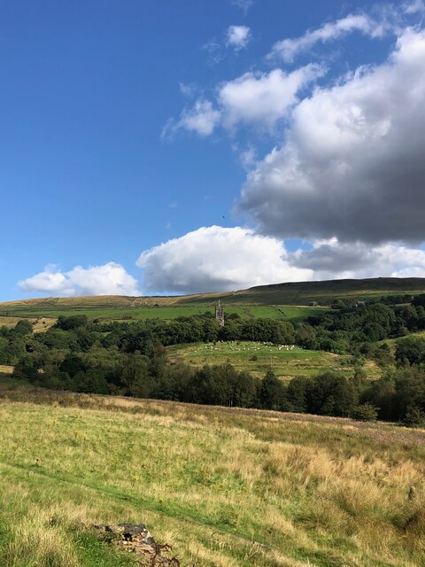
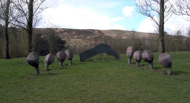
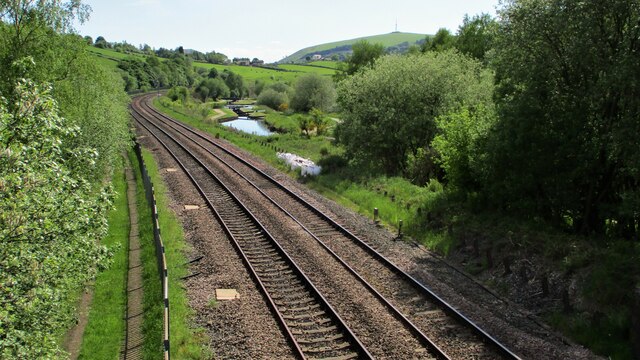
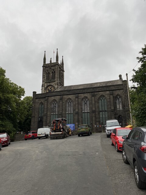
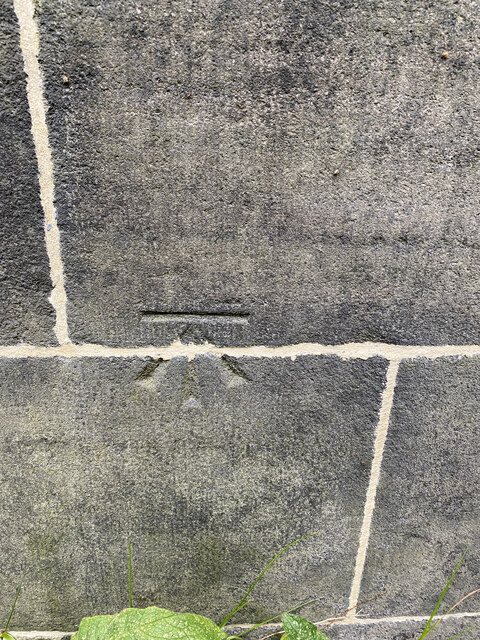
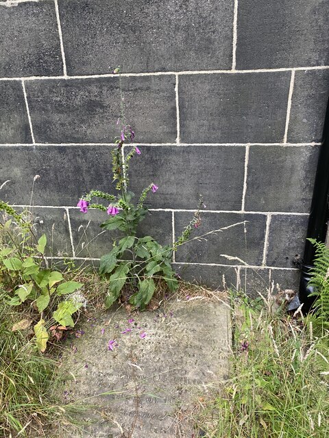
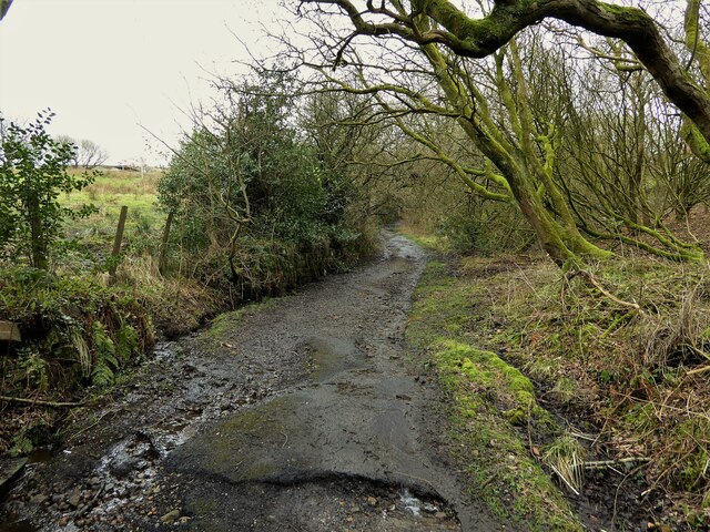
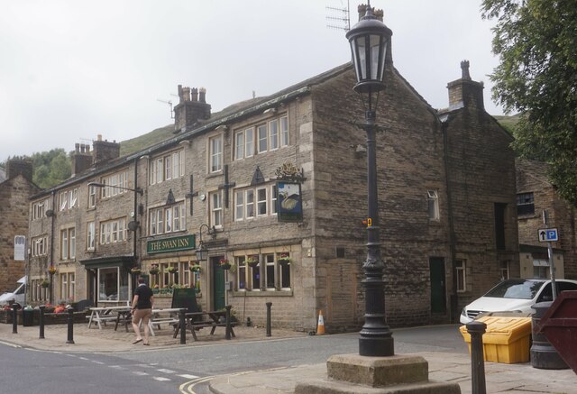
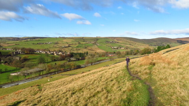
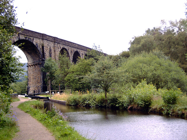
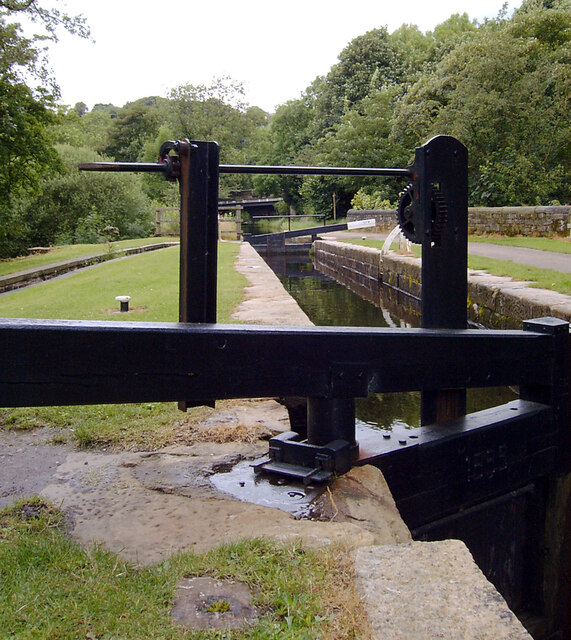
Tame Water Images

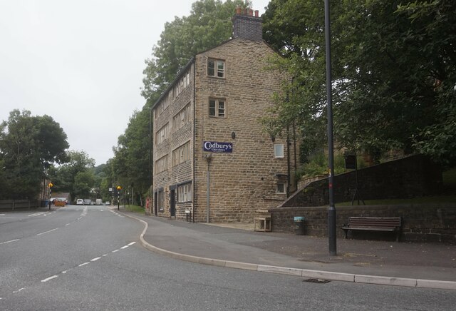
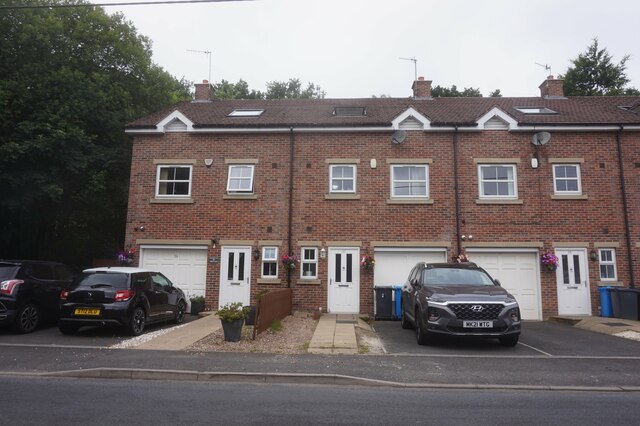
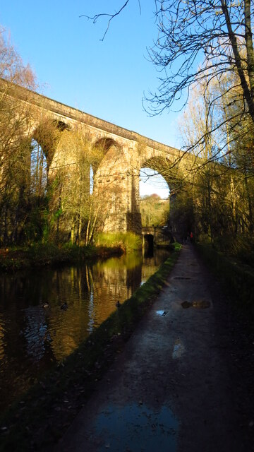
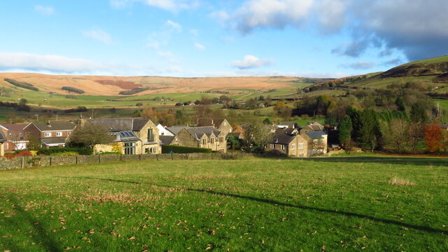
Images are sourced within 2km of 53.554848/-2.018232 or Grid Reference SD9806. Thanks to Geograph Open Source API. All images are credited.

View of St Chad Church, Saddleworth Link to Church Website <span class="nowrap"><a title="https://www.cofeinsaddleworth.org.uk/st-chad-saddleworth-parish-church" rel="nofollow ugc noopener" href="https://www.cofeinsaddleworth.org.uk/st-chad-saddleworth-parish-church">Link</a><img style="margin-left:2px;" alt="External link" title="External link - shift click to open in new window" src="https://s1.geograph.org.uk/img/external.png" width="10" height="10"/></span>
View of St Chad Church, Saddleworth
Link to Church Website LinkExternal link
Sculpture by the Huddersfield Narrow Canal near Diggle The Huddersfield Narrow Canal opened in 1811. It runs for just under 20 miles from Lock 1E, where it joins the Huddersfield Broad Canal at the rear of the University of Huddersfield campus, to the junction with the Ashton Canal at Whitelands Basin in Ashton-under-Lyne. It crosses the Pennines by means of 74 locks and the Standedge Tunnel.
Sculpture by the Huddersfield Narrow Canal near Diggle
The Huddersfield Narrow Canal opened in 1811. It runs for just under 20 miles from Lock 1E, where it joins the Huddersfield Broad Canal at the rear of the University of Huddersfield campus, to the junction with the Ashton Canal at Whitelands Basin in Ashton-under-Lyne. It crosses the Pennines by means of 74 locks and the Standedge Tunnel.
Railway and Canal Together View south from large footbridge that serves Ravenstones Drive
Railway and Canal Together
View south from large footbridge that serves Ravenstones Drive
St Chad's Saddleworth
OS Cut Mark - Saddleworth, Saint Chad's Church <span class="nowrap"><a title="https://www.bench-marks.org.uk/bm83022" rel="nofollow ugc noopener" href="https://www.bench-marks.org.uk/bm83022">Link</a><img style="margin-left:2px;" alt="External link" title="External link - shift click to open in new window" src="https://s1.geograph.org.uk/img/external.png" width="10" height="10"/></span>
OS Cut Mark - Saddleworth, Saint Chad's Church
Location of OS Cut Mark - Saddleworth, Saint Chad's Church
Shaws Lane The lane changes from a well surfaced route to a rough track at this point
Shaws Lane
The lane changes from a well surfaced route to a rough track at this point
Huddersfield Narrow Canal, Uppermill Railway Viaduct visible in distance
Huddersfield Narrow Canal, Uppermill
Railway Viaduct visible in distance
The Swan Inn, Delph
The Swan Inn, Delph
Oldham Road A62, Delph
Houses on Delph New Road
Uppermill - Huddersfield Narrow Canal at Wade Lock
Uppermill - Huddersfield Narrow Canal & Uppermill Viaduct
Houses on Delph Lane, Upper Dale, Delph
Path leading up from A62 Huddersfield Road to Harrop Edge Lane
Wharmton & Greenfield Station area from Shaw Rocks
Uppermill Viaduct crossing the Huddersfield Narrow Canal The Huddersfield Narrow Canal opened in 1811. It runs for just under 20 miles from Lock 1E, where it joins the Huddersfield Broad Canal at the rear of the University of Huddersfield campus, to the junction with the Ashton Canal at Whitelands Basin in Ashton-under-Lyne. It crosses the Pennines by means of 74 locks and the Standedge Tunnel.
Uppermill Viaduct crossing the Huddersfield Narrow Canal
The Huddersfield Narrow Canal opened in 1811. It runs for just under 20 miles from Lock 1E, where it joins the Huddersfield Broad Canal at the rear of the University of Huddersfield campus, to the junction with the Ashton Canal at Whitelands Basin in Ashton-under-Lyne. It crosses the Pennines by means of 74 locks and the Standedge Tunnel.
Lock 23W, Huddersfield Narrow Canal The Huddersfield Narrow Canal opened in 1811. It runs for just under 20 miles from Lock 1E, where it joins the Huddersfield Broad Canal at the rear of the University of Huddersfield campus, to the junction with the Ashton Canal at Whitelands Basin in Ashton-under-Lyne. It crosses the Pennines by means of 74 locks and the Standedge Tunnel.
Lock 23W, Huddersfield Narrow Canal
The Huddersfield Narrow Canal opened in 1811. It runs for just under 20 miles from Lock 1E, where it joins the Huddersfield Broad Canal at the rear of the University of Huddersfield campus, to the junction with the Ashton Canal at Whitelands Basin in Ashton-under-Lyne. It crosses the Pennines by means of 74 locks and the Standedge Tunnel.
Show me another place!

Tame Water is located at Grid Ref: SD9806 (Lat: 53.554848, Lng: -2.018232)

Division: West Riding

Unitary Authority: Oldham

Police Authority: Greater Manchester

What 3 Words

///bumping.snores.salmon. Near Delph, Manchester

Nearby Locations

Wall Hill Tame Water

Related Wikis

Dobcross railway station

Dobcross railway station served the village of Dobcross between 1912 and 1955. == History == The station was opened on 1 January 1912 as part of the London...

Dobcross

Dobcross is a village in the civil parish of Saddleworth in the Metropolitan Borough of Oldham in Greater Manchester, England. It is in a valley in the...

Measurements Halt railway station

Measurements Halt railway station was opened on 18 July 1932 as part of the former London and North Western Railway route from Oldham to Delph. The station...

Saddleworth railway station

Saddleworth railway station, on the Huddersfield Line in Dobcross to the north of Uppermill, opened in August 1849 and closed to passengers in October...

Nearby Amenities

Located within 500m of 53.554848,-2.018232
Dobcross
Is In: Saddleworth, Oldham, Greater Manchester, England, UK
Name Ur: ڈوبکروس
Note: name - Dobcross (wikipedia), Dob Cross (npe)
Place: village
Population: 1567
Population Date: 2021
Source: npe
Wikidata: Q5286554
Lat/Long: 53.5566119/-2.0165484
Mini Roundabout
Direction: clockwise
Odbl: clean
Source: Bing
Lat/Long: 53.5541808/-2.0169574
Bus Stop
Dobcross, Dobcross New Road / opposite The Woolpack
Bench: yes
Bin: yes
Bus: yes
Lit: no
Naptan AtcoCode: 1800ED13181
Naptan Bearing: W
Naptan CommonName: Dobcross New Road/The Woolpack
Naptan Indicator: Opp Woolpack Pu
Naptan Landmark: HOUSE 1A
Naptan NaptanCode: manapadm
Naptan PlusbusZoneRef: MNCRPIC
Naptan ShortCommonName: The Woolpack
Naptan Street: Dobcross New Road
Naptan Verified: no
Network: TfGM
Operator: TfGM
Public Transport: platform
Shelter: yes
Source: naptan_import
Tactile Paving: no
Lat/Long: 53.5540517/-2.0167854
Bus Stop
Dobcross, Dobcross New Road / outside The Woolpack
Bench: no
Bin: no
Bus: yes
Naptan AtcoCode: 1800ED13191
Naptan Bearing: E
Naptan CommonName: Dobcross New Road/The Woolpack
Naptan Indicator: Woolpack
Naptan Landmark: HOUSE 2
Naptan NaptanCode: manapadp
Naptan PlusbusZoneRef: MNCRPIC
Naptan ShortCommonName: The Woolpack
Naptan Street: Dobcross New Road
Naptan Verified: no
Network: TfGM
Operator: TfGM
Public Transport: platform
Shelter: no
Source: naptan_import
Tactile Paving: no
Lat/Long: 53.5541596/-2.0165892
Bus Stop
Dobcross, Delph New Road / opposite Wall Hill Road
Bus: yes
Naptan AtcoCode: 1800ED13211
Naptan Bearing: S
Naptan CommonName: Delph New Road/Wall Hill Road
Naptan Indicator: O/s House 8
Naptan Landmark: HOUSE 8
Naptan NaptanCode: manapadw
Naptan PlusbusZoneRef: MNCRPIC
Naptan ShortCommonName: Wall Hill Road
Naptan Street: DELPH NEW ROAD
Naptan Verified: no
Network: TfGM
Operator: TfGM
Public Transport: platform
Source: naptan_import
Lat/Long: 53.554258/-2.0194874
Bus Stop
Dobcross, Delph New Road / opposite Tamewater Court
Bus: yes
Naptan AtcoCode: 1800ED13221
Naptan Bearing: SE
Naptan CommonName: Delph New Road/Pine Factory Shop
Naptan Indicator: Neptune Ltd
Naptan Landmark: NEPTUNE LTD
Naptan NaptanCode: manapaga
Naptan PlusbusZoneRef: MNCRPIC
Naptan ShortCommonName: Pine Factory Shop
Naptan Street: DELPH NEW ROAD
Naptan Verified: no
Network: TfGM
Operator: TfGM
Public Transport: platform
Source: naptan_import
Lat/Long: 53.5575024/-2.0225232
Bus Stop
Dobcross, Sugar Lane / at Dobcross Square
Bus: yes
Naptan AtcoCode: 1800ED13271
Naptan Bearing: SE
Naptan CommonName: Sugar Lane/Dobcross Square
Naptan Indicator: Post Office
Naptan Landmark: THE SWAN
Naptan NaptanCode: manapagp
Naptan PlusbusZoneRef: MNCRPIC
Naptan ShortCommonName: Dobcross Square
Naptan Street: SUGAR LANE
Naptan Verified: no
Network: TfGM
Operator: TfGM
Public Transport: platform
Source: naptan_import
Lat/Long: 53.5562184/-2.0128765
Bus Stop
Sugar Lane/Dobcross Square
Bus: yes
Naptan AtcoCode: 1800ED13281
Naptan Bearing: NW
Naptan CommonName: Sugar Lane/Dobcross Square
Naptan Indicator: Opp Post Office
Naptan Landmark: HOUSE 20
Naptan NaptanCode: manapagt
Naptan PlusbusZoneRef: MNCRPIC
Naptan ShortCommonName: Dobcross Square
Naptan Street: SUGAR LANE
Naptan Verified: no
Network: TfGM
Public Transport: platform
Source: naptan_import
Lat/Long: 53.5562004/-2.0131633
Noexit: yes
Lat/Long: 53.5547271/-2.0174103
Noexit: yes
Lat/Long: 53.5540978/-2.0180019
Noexit: yes
Lat/Long: 53.5573844/-2.0132393
Noexit: yes
Lat/Long: 53.5536311/-2.0183328
Newbank
Shop: garden_centre
Website: https://newbankgardencentre.com/pages/dobcross-branch
Lat/Long: 53.5532976/-2.0122515
Noexit: yes
Lat/Long: 53.5537282/-2.0182471
Noexit: yes
Lat/Long: 53.5576063/-2.0133704
Generator Method: photovoltaic
Generator Output Electricity: yes
Generator Source: solar
Generator Type: solar_photovoltaic_panel
Location: roof
Power: generator
Lat/Long: 53.5563615/-2.0170649
Generator Method: photovoltaic
Generator Output Electricity: yes
Generator Source: solar
Generator Type: solar_photovoltaic_panel
Location: roof
Power: generator
Lat/Long: 53.5565272/-2.0167591
Generator Method: photovoltaic
Generator Output Electricity: yes
Generator Source: solar
Generator Type: solar_photovoltaic_panel
Location: roof
Power: generator
Lat/Long: 53.556575/-2.0169334
Generator Method: photovoltaic
Generator Output Electricity: yes
Generator Source: solar
Generator Type: solar_photovoltaic_panel
Location: roof
Power: generator
Lat/Long: 53.5577127/-2.0134466
Generator Method: photovoltaic
Generator Output Electricity: yes
Generator Source: solar
Generator Type: solar_photovoltaic_panel
Location: roof
Power: generator
Lat/Long: 53.5580608/-2.0141506
Noexit: yes
Lat/Long: 53.5542584/-2.0183001
Noexit: yes
Lat/Long: 53.5555239/-2.0256926
Noexit: yes
Lat/Long: 53.5541328/-2.0255372
Bench
Backrest: yes
Lat/Long: 53.5564453/-2.0232482
Bench
Backrest: yes
Material: wood
Lat/Long: 53.5553281/-2.0157315
Historic: memorial
Lat/Long: 53.5563984/-2.013361
Telephone
Defibrillator
Booth: K6
Covered: booth
Defibrillator Location: inside old red phone box next to Swan pub, Dobcross
Emergency: defibrillator
Listed Status: Grade II
Man Made: telephone_box
Wikidata: Q26545274
Lat/Long: 53.5563934/-2.0131669
Bench
Lat/Long: 53.5564036/-2.0133823
Bench
Lat/Long: 53.5539955/-2.0205697
Barrier: stile
Material: wood
Stile: stepover
Lat/Long: 53.5516984/-2.0184756
Power: pole
Lat/Long: 53.5546305/-2.0244333
Power: pole
Lat/Long: 53.5549517/-2.0223132
Power: pole
Lat/Long: 53.5547737/-2.0233976
Power: pole
Lat/Long: 53.554471/-2.0254833
Generator Method: photovoltaic
Generator Output Electricity: yes
Generator Source: solar
Generator Type: solar_photovoltaic_panel
Power: generator
Lat/Long: 53.5546237/-2.0171712
Grit Bin
Lat/Long: 53.55366/-2.0189744
Post Box
Post Box Type: lamp
Royal Cypher: EIIR
Royal Cypher Wikidata: Q33102113
Lat/Long: 53.5536774/-2.0189761
Telephone
Defibrillator
Booth: K6
Covered: booth
Defibrillator Location: inside red phone box by bridge over River Tameon Dobcross New Road, Dobcross
Emergency: defibrillator
Man Made: telephone_box
Lat/Long: 53.5536953/-2.0189761
Playground: slide
Lat/Long: 53.5537995/-2.0164438
Playground: sandpit
Lat/Long: 53.5538531/-2.0163845
Playground: swing
Lat/Long: 53.5537201/-2.0163721
Playground: structure
Lat/Long: 53.5537743/-2.0162757
Maxheight: 8'0"
Lat/Long: 53.5527818/-2.0175146
Golf: pin
Lat/Long: 53.5511538/-2.0182518
Grit Bin
Lat/Long: 53.5580279/-2.0188412
Material: wood
Power: pole
Lat/Long: 53.5525076/-2.0133582
Bus Stop
Dobcross, Delph New Road / near Wall Hill Road
Bus: yes
Naptan AtcoCode: 1800ED13201
Naptan Bearing: N
Naptan CommonName: Wall Hill Road
Naptan Indicator: nr
Naptan Landmark: HOUSE 19
Naptan NaptanCode: MANAPADT
Naptan Street: DELPH NEW Road
Naptan Verified: no
Network: TfGM
Operator: TfGM
Public Transport: platform
Source: naptan;bing;naptan_compare_tool
Lat/Long: 53.5540655/-2.0196145
Measurements
Historic Railway: station
Railway: site
Wikidata: Q6804214
Wikipedia: en:Measurements Halt railway station
Lat/Long: 53.5575173/-2.0237353
Dobcross
Historic Railway: station
Railway: site
Wikidata: Q5286553
Wikipedia: en:Dobcross railway station
Lat/Long: 53.5530443/-2.0184849
Bench: yes
Leisure: picnic_table
Lit: no
Material: wood
Lat/Long: 53.5544726/-2.0209586
Noexit: yes
Lat/Long: 53.5539897/-2.0256296
Noexit: yes
Lat/Long: 53.5541943/-2.0252982
Noexit: yes
Lat/Long: 53.5545138/-2.0250434
Husteads Riding School
Addr City: Oldham
Addr Housename: Husteads Riding School
Addr Housenumber: 4
Addr Postcode: OL3 5RA
Addr Street: Husteads
Addr Suburb: Dobcross
Leisure: horse_riding
Lat/Long: 53.5544743/-2.0249921
Bench
Lat/Long: 53.5528107/-2.0127551
Bench
Lat/Long: 53.5527475/-2.0155332
Noexit: yes
Lat/Long: 53.553187/-2.0112303
Noexit: yes
Lat/Long: 53.5558565/-2.0254754
Addr City: Oldham
Addr Housenumber: 2
Addr Parentstreet: Wall Hill Road
Addr Postcode: OL3 5BH
Addr Street: Wall Hill View
Addr Suburb: Dobcross
Lat/Long: 53.5558622/-2.0255756
Noexit: yes
Lat/Long: 53.5555703/-2.0251397
Noexit: yes
Lat/Long: 53.5555887/-2.0251111
Noexit: yes
Lat/Long: 53.555733/-2.0250738
Noexit: yes
Lat/Long: 53.5557622/-2.0250304
Noexit: yes
Lat/Long: 53.5558752/-2.024923
Addr City: Oldham
Addr Housenumber: 112
Addr Postcode: OL3 5BH
Addr Street: Wall Hill Road
Addr Suburb: Dobcross
Lat/Long: 53.5554471/-2.0255342
Addr City: Oldham
Addr Housenumber: 110
Addr Postcode: OL3 5BH
Addr Street: Wall Hill Road
Addr Suburb: Dobcross
Lat/Long: 53.5554912/-2.0254684
Addr City: Oldham
Addr Housenumber: 108
Addr Postcode: OL3 5BH
Addr Street: Wall Hill Road
Addr Suburb: Dobcross
Lat/Long: 53.5555474/-2.0253437
Addr City: Oldham
Addr Housenumber: 106
Addr Postcode: OL3 5BH
Addr Street: Wall Hill Road
Addr Suburb: Dobcross
Lat/Long: 53.5555921/-2.0252791
Addr City: Oldham
Addr Housenumber: 104
Addr Postcode: OL3 5BH
Addr Street: Wall Hill Road
Addr Suburb: Dobcross
Lat/Long: 53.5556604/-2.0251517
Addr City: Oldham
Addr Housenumber: 102
Addr Postcode: OL3 5BH
Addr Street: Wall Hill Road
Addr Suburb: Dobcross
Lat/Long: 53.5556941/-2.0250889
Addr City: Oldham
Addr Housenumber: 100
Addr Postcode: OL3 5BH
Addr Street: Wall Hill Road
Addr Suburb: Dobcross
Lat/Long: 53.555765/-2.0249747
Addr City: Oldham
Addr Housenumber: 98
Addr Postcode: OL3 5BH
Addr Street: Wall Hill Road
Addr Suburb: Dobcross
Lat/Long: 53.5558313/-2.0249207
Noexit: yes
Lat/Long: 53.5559741/-2.0248838
Noexit: yes
Lat/Long: 53.5560706/-2.0244848
Noexit: yes
Lat/Long: 53.5561124/-2.0242522
Noexit: yes
Lat/Long: 53.5561537/-2.0240496
Noexit: yes
Lat/Long: 53.5562463/-2.0235694
Addr City: Oldham
Addr Housenumber: 96
Addr Postcode: OL3 5BH
Addr Street: Wall Hill Road
Addr Suburb: Dobcross
Lat/Long: 53.5559587/-2.0248078
Addr City: Oldham
Addr Housenumber: 94
Addr Postcode: OL3 5BH
Addr Street: Wall Hill Road
Addr Suburb: Dobcross
Lat/Long: 53.5559822/-2.0246965
Addr City: Oldham
Addr Housenumber: 92
Addr Postcode: OL3 5BH
Addr Street: Wall Hill Road
Addr Suburb: Dobcross
Lat/Long: 53.5560077/-2.0245658
Addr City: Oldham
Addr Housenumber: 90
Addr Postcode: OL3 5BH
Addr Street: Wall Hill Road
Addr Suburb: Dobcross
Lat/Long: 53.556028/-2.0244732
Addr City: Oldham
Addr Housenumber: 88
Addr Postcode: OL3 5BH
Addr Street: Wall Hill Road
Addr Suburb: Dobcross
Lat/Long: 53.5560539/-2.0243539
Addr City: Oldham
Addr Housenumber: 86
Addr Postcode: OL3 5BH
Addr Street: Wall Hill Road
Addr Suburb: Dobcross
Lat/Long: 53.5560758/-2.02427
Addr City: Oldham
Addr Housenumber: 84
Addr Postcode: OL3 5BH
Addr Street: Wall Hill Road
Addr Suburb: Dobcross
Lat/Long: 53.5561037/-2.0241413
Addr City: Oldham
Addr Housenumber: 82
Addr Postcode: OL3 5BH
Addr Street: Wall Hill Road
Addr Suburb: Dobcross
Lat/Long: 53.5561224/-2.0240454
Addr City: Oldham
Addr Housenumber: 80
Addr Postcode: OL3 5BH
Addr Street: Wall Hill Road
Addr Suburb: Dobcross
Lat/Long: 53.5561475/-2.0239187
Addr City: Oldham
Addr Housenumber: 78
Addr Postcode: OL3 5BH
Addr Street: Wall Hill Road
Addr Suburb: Dobcross
Lat/Long: 53.5561706/-2.0238302
Addr City: Oldham
Addr Housenumber: 76
Addr Postcode: OL3 5BH
Addr Street: Wall Hill Road
Addr Suburb: Dobcross
Lat/Long: 53.5561961/-2.0237054
Addr City: Oldham
Addr Housenumber: 74
Addr Postcode: OL3 5BH
Addr Street: Wall Hill Road
Addr Suburb: Dobcross
Lat/Long: 53.5562132/-2.0236209
Noexit: yes
Lat/Long: 53.5562583/-2.0235126
Noexit: yes
Lat/Long: 53.5562629/-2.0232974
Noexit: yes
Lat/Long: 53.5562542/-2.0232489
Addr City: Oldham
Addr Housenumber: 72
Addr Postcode: OL3 5BH
Addr Street: Wall Hill Road
Addr Suburb: Dobcross
Lat/Long: 53.5562306/-2.0234552
Addr City: Oldham
Addr Housenumber: 70
Addr Postcode: OL3 5BH
Addr Street: Wall Hill Road
Addr Suburb: Dobcross
Lat/Long: 53.5562322/-2.0233687
Addr City: Oldham
Addr Housenumber: 68
Addr Postcode: OL3 5BH
Addr Street: Wall Hill Road
Addr Suburb: Dobcross
Lat/Long: 53.5562138/-2.0232165
Addr City: Oldham
Addr Housenumber: 66
Addr Postcode: OL3 5BH
Addr Street: Wall Hill Road
Addr Suburb: Dobcross
Lat/Long: 53.5562019/-2.0231186
Addr City: Oldham
Addr Housenumber: 64
Addr Postcode: OL3 5BH
Addr Street: Wall Hill Road
Addr Suburb: Dobcross
Lat/Long: 53.5561605/-2.0229623
Addr City: Oldham
Addr Housenumber: 62
Addr Postcode: OL3 5BH
Addr Street: Wall Hill Road
Addr Suburb: Dobcross
Lat/Long: 53.5561266/-2.0228866
Addr City: Oldham
Addr Housenumber: 60
Addr Postcode: OL3 5BH
Addr Street: Wall Hill Road
Addr Suburb: Dobcross
Lat/Long: 53.5560724/-2.0227779
Addr City: Oldham
Addr Housenumber: 58
Addr Postcode: OL3 5BH
Addr Street: Wall Hill Road
Addr Suburb: Dobcross
Lat/Long: 53.5560418/-2.0227129
Noexit: yes
Lat/Long: 53.5555991/-2.0233347
Noexit: yes
Lat/Long: 53.5557627/-2.0234018
Addr City: Oldham
Addr Housename: Highfield House
Addr Postcode: OL3 5BH
Addr Street: Wall Hill Road
Addr Suburb: Dobcross
Lat/Long: 53.5555666/-2.0234591
The data included in this document is from www.openstreetmap.org. The data is made available under ODbL.

Have you been to Tame Water?

Leave your review of Tame Water below (or comments, questions and feedback).