Tame Bridge
Settlement in Yorkshire Hambleton
England
Tame Bridge
The requested URL returned error: 429 Too Many Requests
If you have any feedback on the listing, please let us know in the comments section below.
Tame Bridge Images
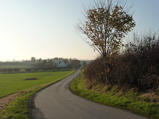
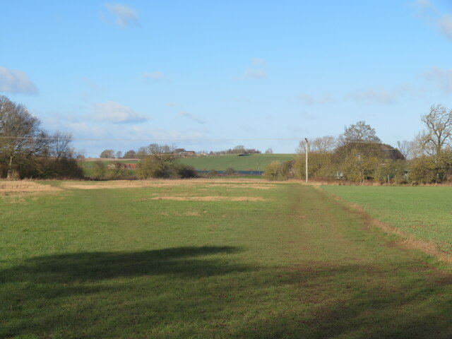
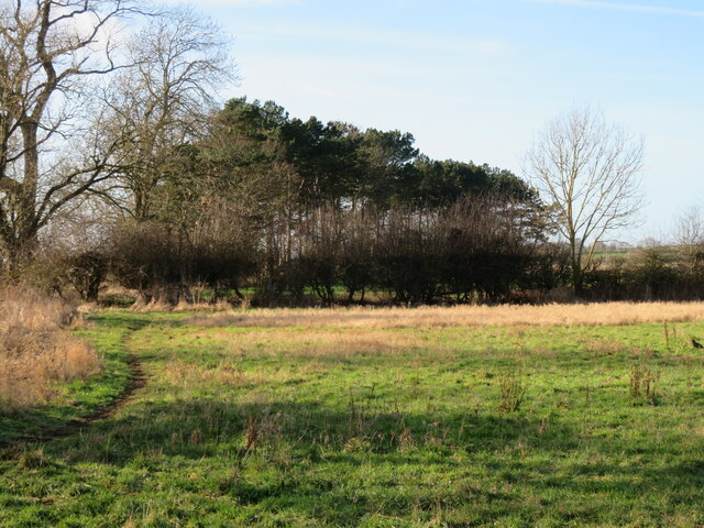
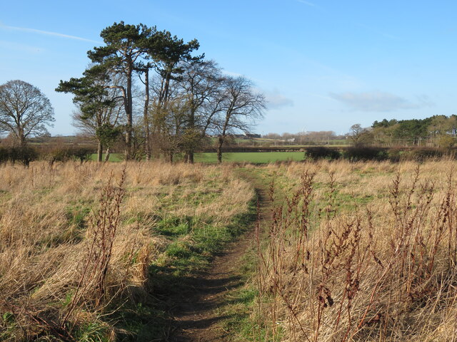
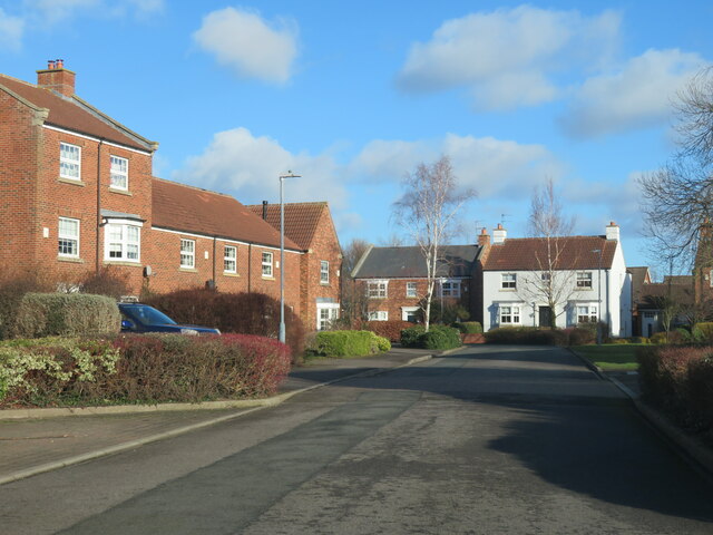
Images are sourced within 2km of 54.466728/-1.2120982 or Grid Reference NZ5108. Thanks to Geograph Open Source API. All images are credited.


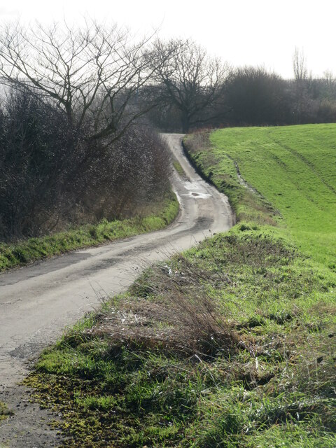
![Trees along a field boundary, south of Oak Hill Watered by an issue-fed stream, which itself is a civil parish boundary between Skutterskelfe [near / south] and Seamer [far / north].](https://s0.geograph.org.uk/geophotos/05/98/76/5987644_527e99fb.jpg)


Tame Bridge is located at Grid Ref: NZ5108 (Lat: 54.466728, Lng: -1.2120982)
Division: North Riding
Administrative County: North Yorkshire
District: Hambleton
Police Authority: North Yorkshire
What 3 Words
///tributes.pump.crescendo. Near Stokesley, North Yorkshire
Nearby Locations
Related Wikis
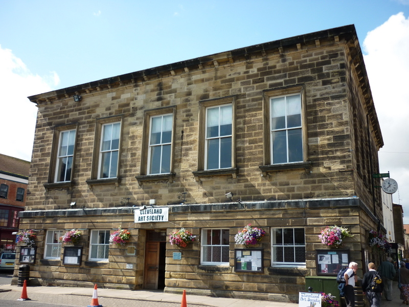
Stokesley Town Hall
Stokesley Town Hall is a municipal building in the Market Place in Stokesley, North Yorkshire, England. The structure, which accommodates the offices and...

Stokesley Rural District
Stokesley was a rural district in the North Riding of Yorkshire from 1894 to 1974. It was named after the town of Stokesley, which it contained.The district...

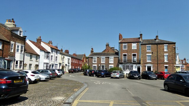
Stokesley
Stokesley is a market town and civil parish in North Yorkshire, England. It lies within the historic county boundaries of the North Riding of Yorkshire...
Stokesley School
Stokesley School is a coeducational secondary school and sixth form located in Stokesley, North Yorkshire, England.It was established in 1959 as secondary...
Nearby Amenities
Located within 500m of 54.466728,-1.2120982Have you been to Tame Bridge?
Leave your review of Tame Bridge below (or comments, questions and feedback).