Aimes Green

Settlement in Essex Epping Forest

England

Aimes Green

Stubbins Hall Lane, Holyfield
Stubbins Hall Lane, Holyfield Credit: David Howard

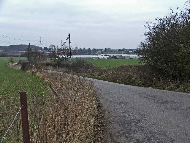
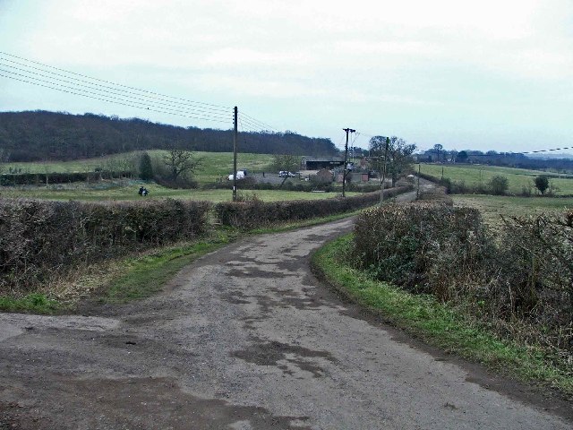
Aimes Green is a small village located in the county of Essex, England. Situated in the rural countryside, it is known for its picturesque surroundings and peaceful atmosphere. The village is nestled amidst lush green fields and rolling hills, providing a tranquil escape from the hustle and bustle of city life.

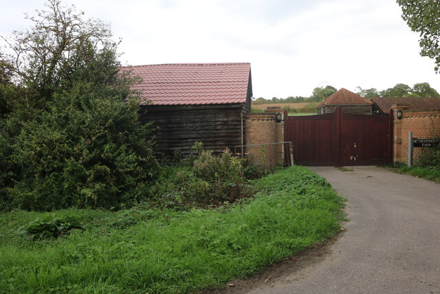
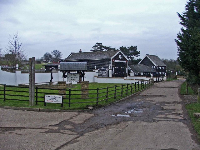
Aimes Green is home to a close-knit community, with a population of around 500 residents. The village retains its traditional charm, with a cluster of historic buildings and charming cottages lining the streets. Many of these buildings date back several centuries, adding to the village's character and heritage.

Despite its small size, Aimes Green boasts a range of amenities for its residents. A local village hall serves as a hub for community activities, hosting various events and gatherings throughout the year. There is also a quaint village pub, where locals and visitors can enjoy a drink or a meal in a friendly and welcoming atmosphere.

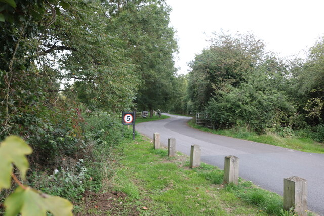
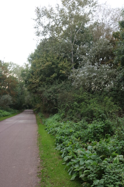
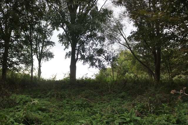
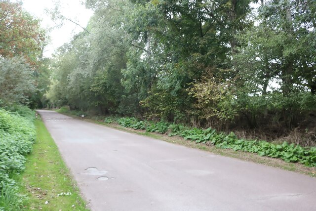
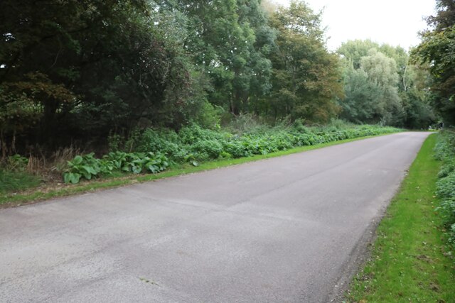
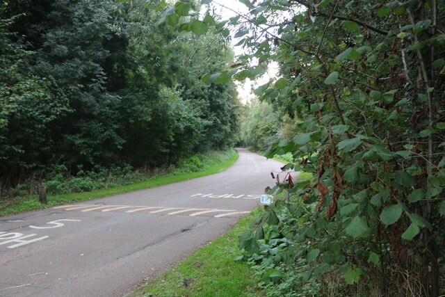
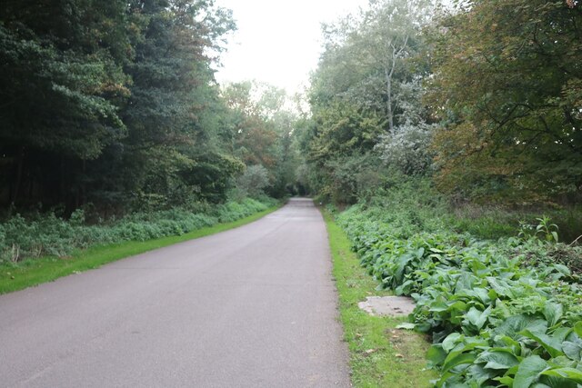
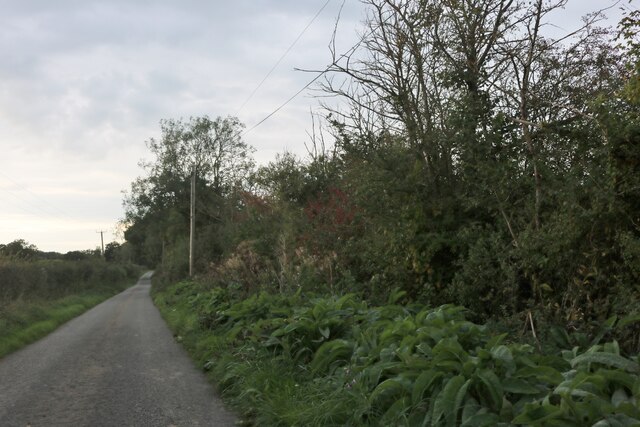
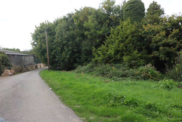
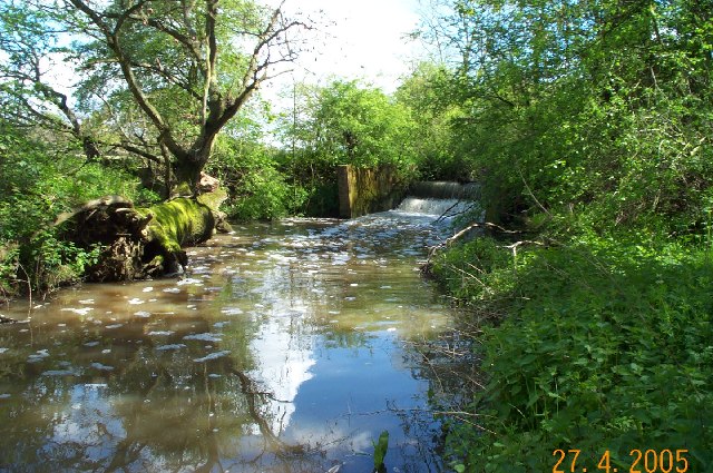
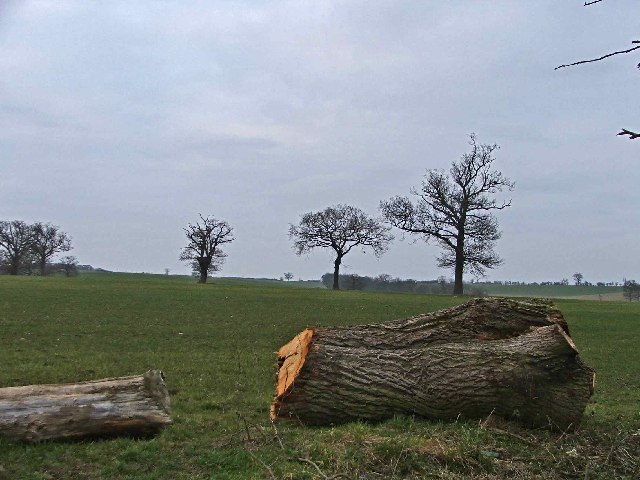
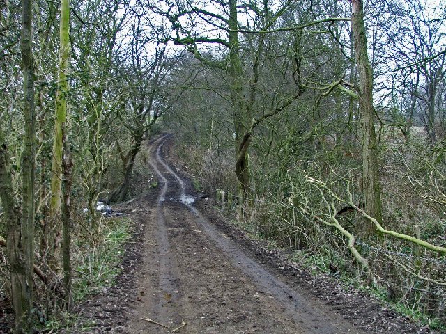
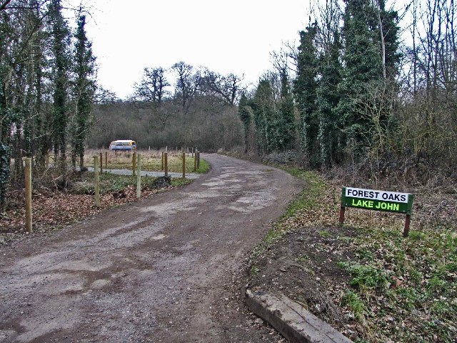
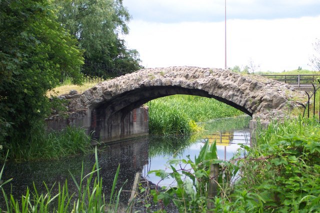
The village is surrounded by beautiful countryside, offering ample opportunities for outdoor activities. Residents and visitors can explore the nearby woodlands and nature reserves, go for long walks along scenic trails, or indulge in leisurely picnics in the open countryside.

Aimes Green benefits from its proximity to larger towns and cities in Essex. It is a short drive away from the market town of Chelmsford, which provides a wider range of amenities, including shopping centers, restaurants, and entertainment options.

Overall, Aimes Green is a peaceful and idyllic village that offers a charming countryside lifestyle, making it a desirable place to live for those seeking a slower pace of life and a strong sense of community.

If you have any feedback on the listing, please let us know in the comments section below.

Aimes Green Images

Images are sourced within 2km of 51.706968/0.019565 or Grid Reference TL3902. Thanks to Geograph Open Source API. All images are credited.

Stubbins Hall Lane, Holyfield
Stubbins Hall Lane, Holyfield Leading to the Lea Valley Country Park car park.
Stubbins Hall Lane, Holyfield
Leading to the Lea Valley Country Park car park.
Lea Valley Country Park, Holyfield
Stubbins Hall Lane, Holyfield Leading to the car park at Lea Valley Country Park
Stubbins Hall Lane, Holyfield
Leading to the car park at Lea Valley Country Park
Stubbins Hall Lane, Holyfield
Stubbins Hall Lane, Holyfield Leading to Lea Valley Country Park car park.
Stubbins Hall Lane, Holyfield
Leading to Lea Valley Country Park car park.
Stubbins Hall Lane, Holyfield
Field by Waltham Road, Nazeing
Laundry Lane, Nazeing
Netherkidders Farm, Nazeing
Laundry Lane, Nazeing
Weir on Cobbin's Brook Viewed looking east this weir is on Cobbin's Brook where it flows through Warlies Park. The water level was higher than normal due to a period of heavy rain.
Weir on Cobbin's Brook
Viewed looking east this weir is on Cobbin's Brook where it flows through Warlies Park. The water level was higher than normal due to a period of heavy rain.
Breach Barns Lane leads from Dallance Farm to Oakwood Nursery Breach Barns Lane is a small road off Galleyhill Road, leading from Dallance Farm to Oakwood Nursery
Breach Barns Lane leads from Dallance Farm to Oakwood Nursery
Breach Barns Lane is a small road off Galleyhill Road, leading from Dallance Farm to Oakwood Nursery
Ye Olde Claverhambury Manor
Claverhambury Road Claverhambury Road just past Claverhambury Manor
Claverhambury Road
Claverhambury Road just past Claverhambury Manor
Farmland opposite Reevegate Farm, Claverhambury Road Farmland opposite Reevegate Farm, Claverhambury Road, looking north
Farmland opposite Reevegate Farm, Claverhambury Road
Farmland opposite Reevegate Farm, Claverhambury Road, looking north
Claverhambury Road near Longcroft Grove
Show me another place!

Aimes Green is located at Grid Ref: TL3902 (Lat: 51.706968, Lng: 0.019565)

Administrative County: Essex

District: Epping Forest

Police Authority: Essex

What 3 Words

///bands.apply.guard. Near Waltham Abbey, Essex

Nearby Locations

Aimes Green

Related Wikis

Nearby Amenities

Located within 500m of 51.706968,0.019565
Power: tower
Lat/Long: 51.7040686/0.0225413
Power: tower
Lat/Long: 51.7078052/0.0137973
Noexit: yes
Lat/Long: 51.706921/0.0183864
Colour: flourescent pink and yellow
Inscription: CAUTION BURIED PIPELINE L-UKOP
Marker: aerial
Utility: oil
Lat/Long: 51.7025274/0.0183931
The data included in this document is from www.openstreetmap.org. The data is made available under ODbL.

Have you been to Aimes Green?

Leave your review of Aimes Green below (or comments, questions and feedback).