Tai'r-ysgol

Settlement in Glamorgan

Wales

Tai'r-ysgol

Gateway at Glyn-derwen
Gateway at Glyn-derwen Credit: Adrian Dust

The requested URL returned error: 429 Too Many Requests

If you have any feedback on the listing, please let us know in the comments section below.
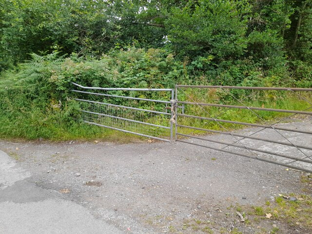
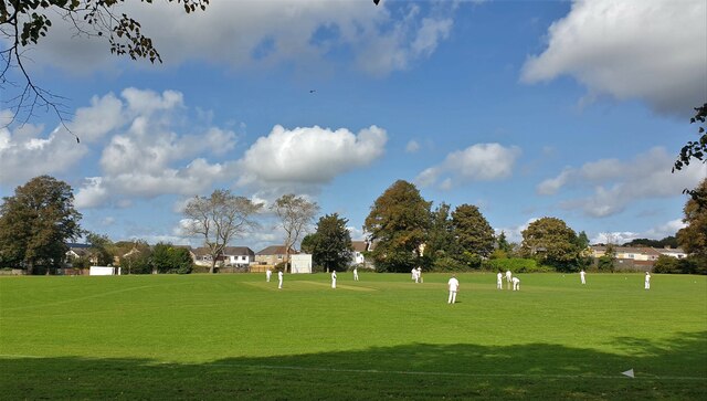
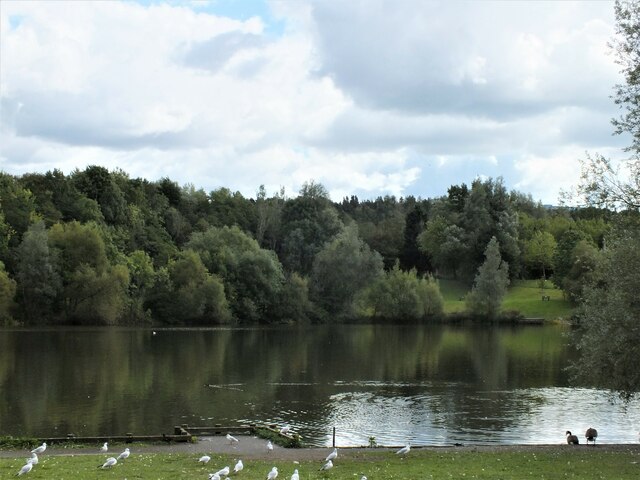
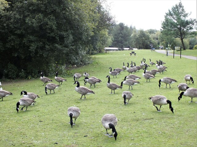
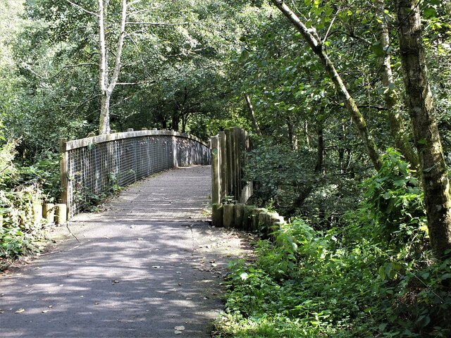
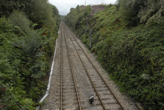
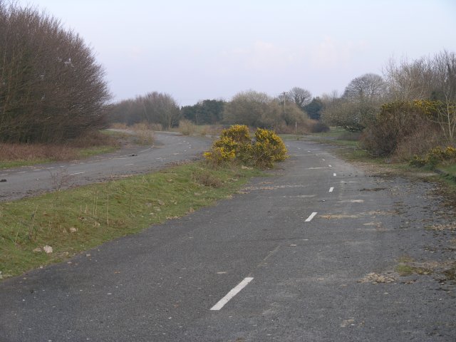
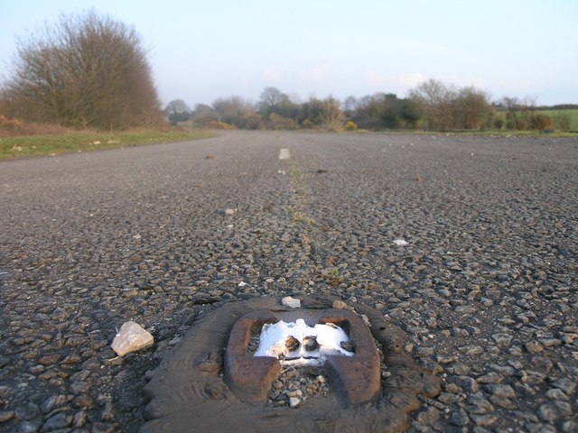
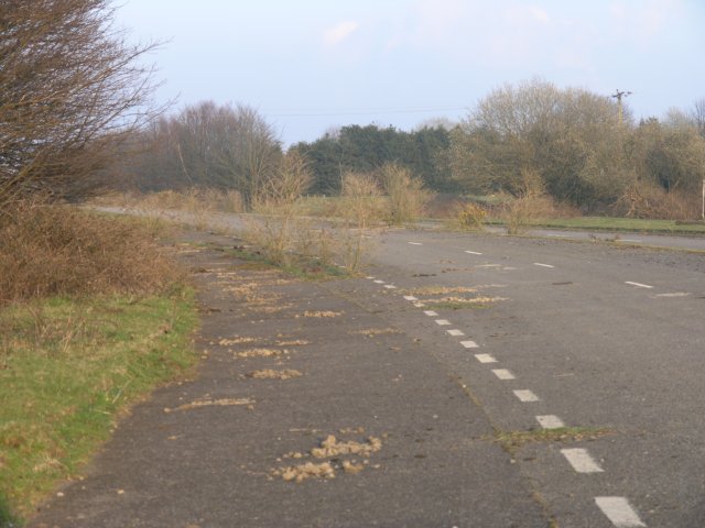
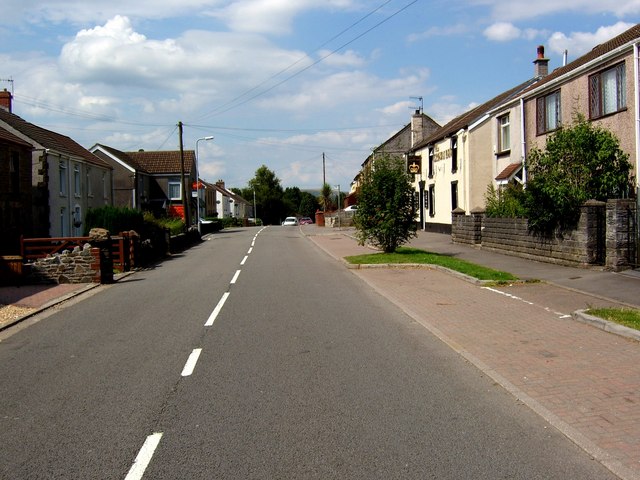
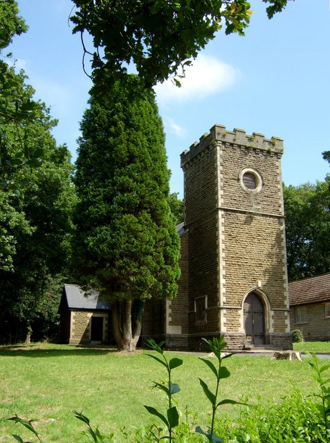
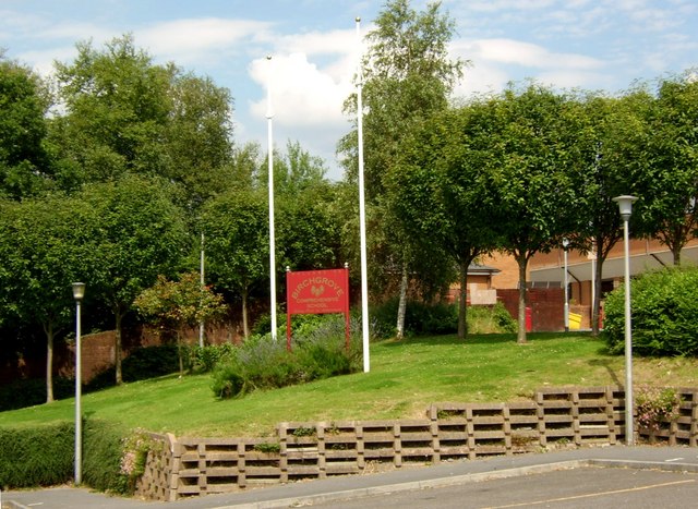
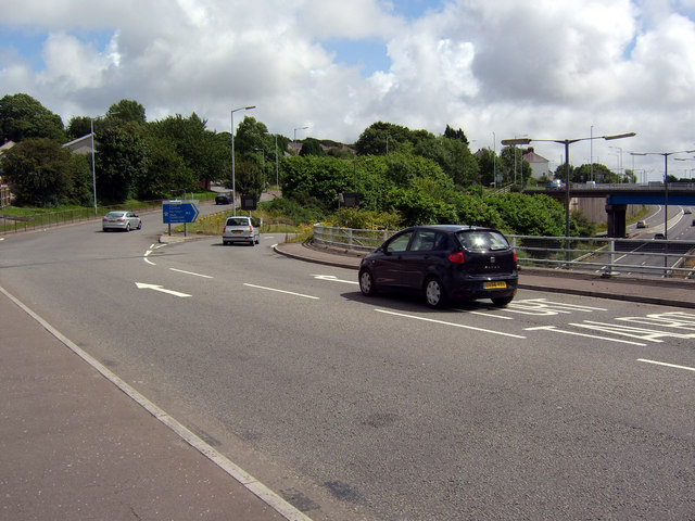
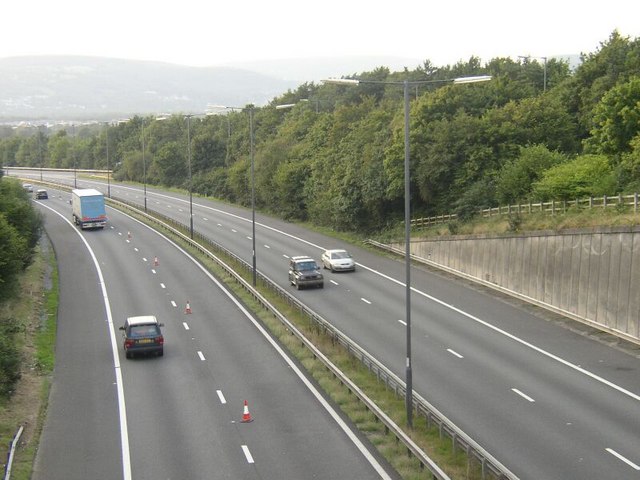
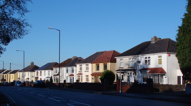
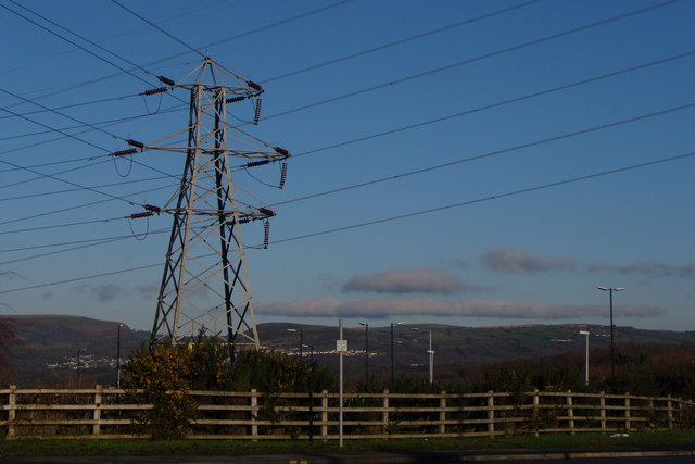
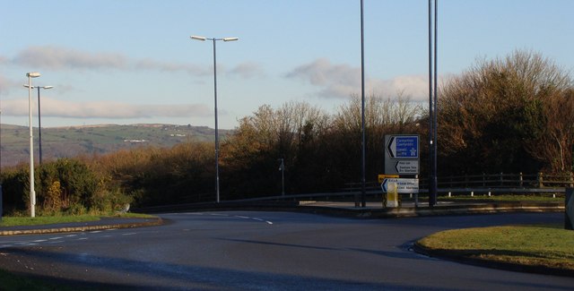
Tai'r-ysgol Images

Images are sourced within 2km of 51.6598/-3.888906 or Grid Reference SS6997. Thanks to Geograph Open Source API. All images are credited.

Gateway at Glyn-derwen
Heol Las Park, Birchgrove, Swansea
Llyn y Fendrod (The Fendrod Lake), Llansamlet, Swansea
Canada Geese, Llyn y Fendrod, Llansamlet, Swansea
Footbridge over the Fendrod stream, Llansamlet, Swansea Footbridge just north of the point where the stream joins Llyn y Fendrod (The Fendrod Lake).
Footbridge over the Fendrod stream, Llansamlet, Swansea
Footbridge just north of the point where the stream joins Llyn y Fendrod (The Fendrod Lake).
Railway cutting near Skewen
Abandoned section of the A48 Once part of the trunk route from London to South Wales, this 500m section of the A48 has been handed back for farm use since the M4 opened (running just parallel) in the early 1990s. On the corner, two petrol stations, long since stripped of their pumps and kiosks now have trees growing through the tarmac where once impatient drivers would pull up to fill up.

The farmer told me that they were given the land when a similar sized tract of land was taken from them for the building of the M4.  He also asked me to mention that despite being listed on all ordnance survey maps as such, there is absolutely NO right of way through this stretch any more.  Apparently a footpath used to run down their lane and then under this road via a route taken by an abandoned railway.  There's little evidence of the footpath today apart from an old staircase completely encased in vegetation (I'd have missed it if he hadn't shown it to me). 

I have since confirmed that the map is incorrect by checking the council's definitive map - the public right of way to this location appears to have been revoked when the motorway was built and never reinstated.

Since this picture was taken, the area has undergone redevelopment and over half of this abandoned road is currently being converted into housing.
Abandoned section of the A48
Once part of the trunk route from London to South Wales, this 500m section of the A48 has been handed back for farm use since the M4 opened (running just parallel) in the early 1990s. On the corner, two petrol stations, long since stripped of their pumps and kiosks now have trees growing through the tarmac where once impatient drivers would pull up to fill up. The farmer told me that they were given the land when a similar sized tract of land was taken from them for the building of the M4. He also asked me to mention that despite being listed on all ordnance survey maps as such, there is absolutely NO right of way through this stretch any more. Apparently a footpath used to run down their lane and then under this road via a route taken by an abandoned railway. There's little evidence of the footpath today apart from an old staircase completely encased in vegetation (I'd have missed it if he hadn't shown it to me). I have since confirmed that the map is incorrect by checking the council's definitive map - the public right of way to this location appears to have been revoked when the motorway was built and never reinstated. Since this picture was taken, the area has undergone redevelopment and over half of this abandoned road is currently being converted into housing.
Disused cats-eye On a stretch of road that's been unused for over 15 years, road lines and indeed the features to allow drivers to navigate at night are still in place at this location.
Disused cats-eye
On a stretch of road that's been unused for over 15 years, road lines and indeed the features to allow drivers to navigate at night are still in place at this location.
Disused sliproad This sliproad used to lead to a petrol station.  Since then the M4 took over the role of A48 and the A48 was rerouted and this stretch of road was abandoned and ignored!
Disused sliproad
This sliproad used to lead to a petrol station. Since then the M4 took over the role of A48 and the A48 was rerouted and this stretch of road was abandoned and ignored!
Birchgrove near Swansea Looking north-northwest along the B4291 at Birchgrove, with the post office (sadly, now closed) on the left and the Crown Inn on the right.
Birchgrove near Swansea
Looking north-northwest along the B4291 at Birchgrove, with the post office (sadly, now closed) on the left and the Crown Inn on the right.
St John's Church, Birchgrove St John's, Birchgrove, is situated within the parish of Llansamlet, part of the Church in Wales Diocese of Swansea and Brecon.
St John's Church, Birchgrove
St John's, Birchgrove, is situated within the parish of Llansamlet, part of the Church in Wales Diocese of Swansea and Brecon.
Birchgrove Comprehensive School Birchgrove Comprehensive School, which opened in 1991, serves the Swansea Valley communities of Birchgrove, Glais, and Clydach as well as taking a number of students from nearby Llansamlet and Trallwn.
Birchgrove Comprehensive School
Birchgrove Comprehensive School, which opened in 1991, serves the Swansea Valley communities of Birchgrove, Glais, and Clydach as well as taking a number of students from nearby Llansamlet and Trallwn.
Junction 44 of the M4 The eastbound sliproad from the A48 to the M4 near Birchgrove is unusual in that it peels off the inside of the roundabout that straddles the motorway at this point. Traffic approaching from the B4291 (between the two leftmost lamp posts as seen here) and wishing to join the M4 eastbound has to perform a near 360° circuit of the roundabout.
Junction 44 of the M4
The eastbound sliproad from the A48 to the M4 near Birchgrove is unusual in that it peels off the inside of the roundabout that straddles the motorway at this point. Traffic approaching from the B4291 (between the two leftmost lamp posts as seen here) and wishing to join the M4 eastbound has to perform a near 360° circuit of the roundabout.
M4 motorway (westbound) at Junction 44 Taken from above motorway bridge/junction.   As is so often the case, one lane (westbound) is coned off - but for no apparent reason.
M4 motorway (westbound) at Junction 44
Taken from above motorway bridge/junction. As is so often the case, one lane (westbound) is coned off - but for no apparent reason.
Houses, Peniel Green Winter sun catches these classic semi-detached houses in the suburbs of Swansea.
Houses, Peniel Green
Winter sun catches these classic semi-detached houses in the suburbs of Swansea.
Study in Parallels and Angles Somehow this massive pylon manages to look magnificent in the winter sun.
Study in Parallels and Angles
Somehow this massive pylon manages to look magnificent in the winter sun.
Junction 44 of the M4 - at Peniel Green
Railtour in the rain A railtour for GCG heads west with the Llandarcy oil refinery in the background. 23rd April 1994. Details of this railtour below which operated over some freight only railway lines. 

Monmouthshire Railway Society
Gwaun-cae-Gurwen Growler II

Locos Used 37258 & 37402 
Route :

Loco Route 
37258 (1) Newport - Lydney Groundframe 
37402 (2) Lydney Groundframe - Norchard Low Level 
37258 (1) Norchard Low Level - Lydney Groundframe 
37402 (2) Lydney Groundframe - Newport - Aberthaw - Swansea District - Llandeilo Jn 
37258 (1) Llandeilo Jn - Gwaun-cae-Gurwen 
37402 (2) Gwaun-cae-Gurwen - Jersey Marine South Yard 
37258 (1) Jersey Marine South Yard - Cwmgwrach 
37402 (2) Cwmgwrach - Jersey Marine South Yard 
37258 (1) Jersey Marine South Yard - Margam Yard - Tondu 
37402 (2) Tondu - Llantrisant - Pengam 
37258 (1) Pengam - Cardiff Docks (Texaco Terminal) 
37402 (2) Cardiff Docks (Texaco Terminal) - Newport 

Notes :
(1) 37402 on rear.
(2) 37258 on rear.
Railtour in the rain
A railtour for GCG heads west with the Llandarcy oil refinery in the background. 23rd April 1994. Details of this railtour below which operated over some freight only railway lines. Monmouthshire Railway Society Gwaun-cae-Gurwen Growler II Locos Used 37258 & 37402 Route : Loco Route 37258 (1) Newport - Lydney Groundframe 37402 (2) Lydney Groundframe - Norchard Low Level 37258 (1) Norchard Low Level - Lydney Groundframe 37402 (2) Lydney Groundframe - Newport - Aberthaw - Swansea District - Llandeilo Jn 37258 (1) Llandeilo Jn - Gwaun-cae-Gurwen 37402 (2) Gwaun-cae-Gurwen - Jersey Marine South Yard 37258 (1) Jersey Marine South Yard - Cwmgwrach 37402 (2) Cwmgwrach - Jersey Marine South Yard 37258 (1) Jersey Marine South Yard - Margam Yard - Tondu 37402 (2) Tondu - Llantrisant - Pengam 37258 (1) Pengam - Cardiff Docks (Texaco Terminal) 37402 (2) Cardiff Docks (Texaco Terminal) - Newport Notes : (1) 37402 on rear. (2) 37258 on rear.
Show me another place!

Tai'r-ysgol is located at Grid Ref: SS6997 (Lat: 51.6598, Lng: -3.888906)

Unitary Authority: Swansea

Police Authority: South Wales

What 3 Words

///dates.blank.guitar. Near Clydach, Swansea

Nearby Locations

Peniel Green Tai'r-ysgol

Related Wikis

Llansamlet railway station (MR)

Llansamlet railway station served the suburb of Llansamlet, in the historical county of Glamorganshire, Wales, from 1860 to 1875 on the Swansea Vale Railway...

Llansamlet railway station

Llansamlet railway station is a minor station in Llansamlet, Swansea, south Wales. The station is located below street level at Frederick Place in Peniel...

Llansamlet

Llansamlet is a suburban district and community of Swansea, Wales, falling into the Llansamlet ward. The area is centred on the A48 road (named Samlet...

Llansamlet (electoral ward)

Llansamlet is the name of an electoral ward (coterminous with the Llansamlet community) in the City and County of Swansea, Wales, UK. The electoral ward...

Nearby Amenities

Located within 500m of 51.6598,-3.888906
Llansamlet
Public Transport: stop_position
Railway: stop
Ref: 1
Train: yes
Lat/Long: 51.6615778/-3.884355
Traffic Signals
Lat/Long: 51.6621642/-3.8854236
Mini Roundabout
Direction: clockwise
Lat/Long: 51.6598161/-3.8888886
Mini Roundabout
Lat/Long: 51.6554068/-3.889528
Post Office
Trallwn Post Office
Addr City: Swansea
Addr Country: GB
Addr Housenumber: 102-104
Addr Postcode: SA7 9XA
Addr Street: Trallwn Road
Addr Village: Llansamlet
Name Cy: Swyddfa'r Post Trallwn
Opening Hours: Mo-Su 07:00-22:00
Ref Pol Id: 8898
Lat/Long: 51.6556357/-3.8892646
Parking
Lat/Long: 51.6610041/-3.8849933
Bus Stop
Peniel Green Lights (SW)
Bus: yes
Naptan AtcoCode: 5810AWC52234
Naptan Bearing: SW
Naptan CommonName: Peniel Green Lights (SW)
Naptan Crossing: Frederick Place
Naptan NaptanCode: swapagm
Naptan PlusbusZoneRef: SWANSEA
Naptan Street: Peniel Green Road
Naptan Verified: no
Public Transport: platform
Shelter: yes
Source: naptan_import
Lat/Long: 51.6621923/-3.8848146
Bus Stop
Peniel Green Lights (NE)
Bus: yes
Naptan AtcoCode: 5810AWC52235
Naptan Bearing: NE
Naptan CommonName: Peniel Green Lights (NE)
Naptan Crossing: Frederick Place
Naptan NaptanCode: swapagp
Naptan PlusbusZoneRef: SWANSEA
Naptan Street: Peniel Green Road
Naptan Verified: no
Public Transport: platform
Source: naptan_import
Lat/Long: 51.6623255/-3.8849213
Bus Stop
Peniel Green Church (SW)
Bus: yes
Naptan AtcoCode: 5810AWC52236
Naptan Bearing: SW
Naptan CommonName: Peniel Green Church (SW)
Naptan Landmark: Peniel Green Church
Naptan NaptanCode: swapaga
Naptan PlusbusZoneRef: SWANSEA
Naptan Street: Peniel Green Road
Naptan Verified: no
Public Transport: platform
Source: naptan_import
Lat/Long: 51.6615934/-3.8885058
Bus Stop
Peniel Green Church (NE)
Bus: yes
Naptan AtcoCode: 5810AWC52237
Naptan Bearing: NE
Naptan CommonName: Peniel Green Church (NE)
Naptan Landmark: Peniel Green Church
Naptan NaptanCode: swapagd
Naptan PlusbusZoneRef: SWANSEA
Naptan Street: Peniel Green Road
Naptan Verified: no
Public Transport: platform
Source: naptan_import
Lat/Long: 51.6616099/-3.8891572
Bus Stop
Llansamlet Railway Station (N)
Bus: yes
Naptan AtcoCode: 5810AWC52240
Naptan Bearing: N
Naptan CommonName: Llansamlet Railway Station (N)
Naptan Crossing: Peniel Green Road
Naptan Landmark: Llansamlet Railway Station
Naptan NaptanCode: swapadp
Naptan PlusbusZoneRef: SWANSEA
Naptan ShortCommonName: Llansamlet Library
Naptan Street: Frederick Place
Naptan Verified: no
Public Transport: platform
Source: naptan_import
Lat/Long: 51.66168/-3.885403
Bus Stop
Frederick Place
Bus: yes
Naptan AtcoCode: 5810AWC52241
Naptan Bearing: S
Naptan CommonName: Frederick Place
Naptan NaptanCode: swapadt
Naptan PlusbusZoneRef: SWANSEA
Naptan ShortCommonName: Llansamlet Surgery
Naptan Street: Frederick Place
Naptan Verified: no
Public Transport: platform
Source: naptan_import
Lat/Long: 51.6608698/-3.8854104
Bus Stop
Frederick Place
Bus: yes
Naptan AtcoCode: 5810AWC52242
Naptan Bearing: SE
Naptan CommonName: Frederick Place
Naptan Crossing: Heol Hardy
Naptan NaptanCode: swapdgt
Naptan PlusbusZoneRef: SWANSEA
Naptan Street: Frederick Place
Naptan Verified: no
Public Transport: platform
Source: naptan_import
Lat/Long: 51.6597458/-3.8837299
Bus Stop
Talycopa School
Bus: yes
Naptan AtcoCode: 5810AWC52247
Naptan Bearing: S
Naptan CommonName: Talycopa School
Naptan Crossing: Summer Place
Naptan NaptanCode: swapdmg
Naptan PlusbusZoneRef: SWANSEA
Naptan ShortCommonName: Talycopa Primary School
Naptan Street: Heol Hardy
Naptan Verified: no
Public Transport: platform
Source: naptan_import
Lat/Long: 51.6578607/-3.8857626
Bus Stop
Trallwn Shops (E)
Bus: yes
Naptan AtcoCode: 5810AWC52252
Naptan Bearing: E
Naptan CommonName: Trallwn Shops (E)
Naptan Crossing: Trallwn Road
Naptan NaptanCode: swapdpa
Naptan PlusbusZoneRef: SWANSEA
Naptan Street: Maes-yr-Haf
Naptan Verified: no
Public Transport: platform
Source: naptan_import
Lat/Long: 51.6568913/-3.8890043
Bus Stop
Trallwn Shops (SW)
Bus: yes
Naptan AtcoCode: 5810AWC52253
Naptan Bearing: SW
Naptan CommonName: Trallwn Shops (SW)
Naptan Crossing: Glan-y-wern Road
Naptan NaptanCode: swapdpd
Naptan PlusbusZoneRef: SWANSEA
Naptan Street: Trallwn Road
Naptan Verified: no
Public Transport: platform
Source: naptan_import
Lat/Long: 51.6562921/-3.8893553
Bus Stop
Trallwn Community Centre (SW)
Bus: yes
Naptan AtcoCode: 5810AWC52257
Naptan Bearing: SW
Naptan CommonName: Trallwn Community Centre (SW)
Naptan Crossing: Bethel Road
Naptan Landmark: Trallwn Community Centre
Naptan NaptanCode: swapdmt
Naptan PlusbusZoneRef: SWANSEA
Naptan Street: Trallwn Road
Naptan Verified: no
Public Transport: platform
Source: naptan_import
Lat/Long: 51.659014/-3.8889769
Bus Stop
Trallwn Community Centre (NE)
Bus: yes
Naptan AtcoCode: 5810AWC52258
Naptan Bearing: NE
Naptan CommonName: Trallwn Community Centre (NE)
Naptan Crossing: Betel Road
Naptan Landmark: Trallwn Community Centre
Naptan NaptanCode: swapdmw
Naptan PlusbusZoneRef: SWANSEA
Naptan Street: Trallwn Road
Naptan Verified: no
Public Transport: platform
Source: naptan_import
Lat/Long: 51.6592914/-3.8890608
Bus Stop
Trallwn Shops (NE)
Bus: yes
Naptan AtcoCode: 5810AWC52273
Naptan Bearing: NE
Naptan CommonName: Trallwn Shops (NE)
Naptan Crossing: Maes-y-Haf
Naptan NaptanCode: swapdpj
Naptan PlusbusZoneRef: SWANSEA
Naptan Street: Trallwn Road
Naptan Verified: no
Public Transport: platform
Source: naptan_import
Lat/Long: 51.6572807/-3.8893964
Bus Stop
Llansamlet Railway Station (S)
Bus: yes
Naptan AtcoCode: 5810SWX18371
Naptan Bearing: S
Naptan CommonName: Llansamlet Railway Station (S)
Naptan Crossing: Peniel Green Road
Naptan Landmark: Llansamlet Library
Naptan NaptanCode: swapagj
Naptan PlusbusZoneRef: SWANSEA
Naptan ShortCommonName: Peniel Green Library
Naptan Street: Frederick Place
Naptan Verified: no
Public Transport: platform
Source: naptan_import
Lat/Long: 51.6620045/-3.8853129
Mini Roundabout
Direction: clockwise
Lat/Long: 51.6568722/-3.8893596
Llansamlet
Public Transport: stop_position
Railway: stop
Ref: 2
Train: yes
Lat/Long: 51.6614206/-3.886469
Bus: yes
Public Transport: stop_position
Lat/Long: 51.6592876/-3.8889958
Bus: yes
Public Transport: stop_position
Lat/Long: 51.6617045/-3.8853148
Bus: yes
Public Transport: stop_position
Lat/Long: 51.662261/-3.8848627
Llansamlet
Naptan AtcoCode: 9100LLNSMLT
Network: National Rail
Network Website: https://www.nationalrail.co.uk/stations/las/
Network Wikidata: Q26334
Operator En: Transport for Wales
Operator Website: https://tfw.wales/places/stations/llansamlet
Operator Wikidata: Q104878180
Public Transport: station
Railway: station
Ref Crs: LAS
Train: yes
Wikidata: Q2518846
Wikipedia: en:Llansamlet railway station
Lat/Long: 51.6615072/-3.8854619
Direction: 215
Generator Method: photovoltaic
Generator Output Electricity: yes
Generator Solar Modules: 16
Generator Source: solar
Generator Type: solar_photovoltaic_panel
Location: roof
Power: generator
Lat/Long: 51.6565539/-3.8872263
Direction: SE
Generator Method: photovoltaic
Generator Output Electricity: yes
Generator Solar Modules: 14
Generator Source: solar
Generator Type: solar_photovoltaic_panel
Location: roof
Power: generator
Lat/Long: 51.6560442/-3.8878288
Direction: SE
Generator Method: photovoltaic
Generator Output Electricity: yes
Generator Solar Modules: 16
Generator Source: solar
Generator Type: solar_photovoltaic_panel
Location: roof
Power: generator
Lat/Long: 51.6559678/-3.8877346
Direction: SE
Generator Method: photovoltaic
Generator Output Electricity: yes
Generator Solar Modules: 16
Generator Source: solar
Generator Type: solar_photovoltaic_panel
Location: roof
Power: generator
Lat/Long: 51.6558983/-3.8876313
Direction: WSW
Generator Method: photovoltaic
Generator Output Electricity: yes
Generator Solar Modules: 11
Generator Source: solar
Generator Type: solar_photovoltaic_panel
Location: roof
Power: generator
Lat/Long: 51.6559555/-3.8856796
Direction: 125
Generator Method: photovoltaic
Generator Output Electricity: yes
Generator Solar Modules: 8
Generator Source: solar
Generator Type: solar_photovoltaic_panel
Location: roof
Power: generator
Lat/Long: 51.6584868/-3.8830743
Direction: 215
Generator Method: photovoltaic
Generator Output Electricity: yes
Generator Solar Modules: 6
Generator Source: solar
Generator Type: solar_photovoltaic_panel
Location: roof
Power: generator
Lat/Long: 51.6584624/-3.8831466
Direction: S
Generator Method: photovoltaic
Generator Output Electricity: yes
Generator Solar Modules: 14
Generator Source: solar
Generator Type: solar_photovoltaic_panel
Location: roof
Power: generator
Lat/Long: 51.6572025/-3.883095
Direction: 100
Generator Method: photovoltaic
Generator Output Electricity: yes
Generator Solar Modules: 12
Generator Source: solar
Generator Type: solar_photovoltaic_panel
Location: roof
Power: generator
Lat/Long: 51.6573523/-3.8865367
Direction: 170
Generator Method: photovoltaic
Generator Output Electricity: yes
Generator Solar Modules: 8
Generator Source: solar
Generator Type: solar_photovoltaic_panel
Location: roof
Power: generator
Lat/Long: 51.662469/-3.8842772
Direction: 165
Generator Method: photovoltaic
Generator Output Electricity: yes
Generator Solar Modules: 16
Generator Source: solar
Generator Type: solar_photovoltaic_panel
Location: roof
Power: generator
Lat/Long: 51.6603366/-3.8881262
Direction: 170
Generator Method: photovoltaic
Generator Output Electricity: yes
Generator Solar Modules: 15
Generator Source: solar
Generator Type: solar_photovoltaic_panel
Location: roof
Power: generator
Lat/Long: 51.6600202/-3.8869161
Direction: 265
Generator Method: photovoltaic
Generator Output Electricity: yes
Generator Solar Modules: 10
Generator Source: solar
Generator Type: solar_photovoltaic_panel
Location: roof
Power: generator
Lat/Long: 51.6580945/-3.8881802
Direction: 85
Generator Method: photovoltaic
Generator Output Electricity: yes
Generator Solar Modules: 10
Generator Source: solar
Generator Type: solar_photovoltaic_panel
Location: roof
Power: generator
Lat/Long: 51.6580976/-3.8881288
Direction: 185
Generator Method: photovoltaic
Generator Output Electricity: yes
Generator Solar Modules: 16
Generator Source: solar
Generator Type: solar_photovoltaic_panel
Location: roof
Power: generator
Lat/Long: 51.6561935/-3.889126
Direction: 170
Generator Method: photovoltaic
Generator Output Electricity: yes
Generator Solar Modules: 1
Generator Source: solar
Generator Type: solar_photovoltaic_panel
Location: roof
Power: generator
Lat/Long: 51.6600094/-3.8870546
The data included in this document is from www.openstreetmap.org. The data is made available under ODbL.

Have you been to Tai'r-ysgol?

Leave your review of Tai'r-ysgol below (or comments, questions and feedback).