Syde

Settlement in Gloucestershire Cotswold

England

Syde

Brimsfield Park Farm
Brimsfield Park Farm Credit: P Gaskell

Syde is a small village located in the county of Gloucestershire, England. Situated about 6 miles northeast of the historic town of Cirencester, Syde is nestled in the picturesque Cotswolds region, renowned for its stunning natural beauty and charming villages.

With a population of around 100 residents, Syde is a quintessential English countryside village. The village is characterized by its idyllic setting, surrounded by rolling hills, lush green fields, and scenic woodland areas. The River Churn flows nearby, adding to the village's tranquility and providing opportunities for leisurely walks or fishing.

Syde boasts a rich history, with evidence of settlements dating back to Roman times. The village is home to several historic buildings, including Syde Manor, a beautiful Grade II listed manor house that dates back to the 17th century. The manor's architecture showcases the classic Cotswold stone construction, adding to the village's timeless charm.

While Syde is primarily a residential area, it offers easy access to nearby amenities. The village is within close proximity to Cirencester, providing residents with a range of services, including shops, restaurants, and schools. Additionally, the area is a haven for outdoor enthusiasts, with ample opportunities for hiking, cycling, and horseback riding in the surrounding countryside.

Overall, Syde is a hidden gem in Gloucestershire, offering a peaceful and picturesque retreat for those seeking a rural lifestyle amidst the beauty of the Cotswolds.

If you have any feedback on the listing, please let us know in the comments section below.
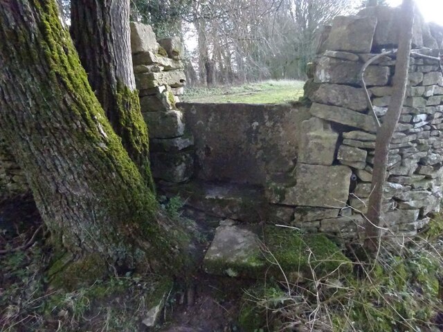
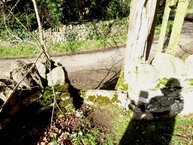
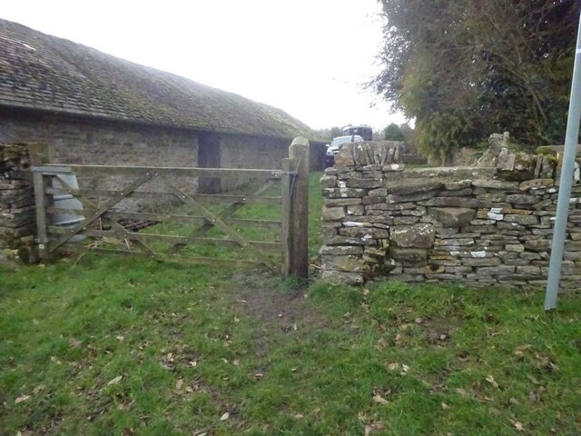
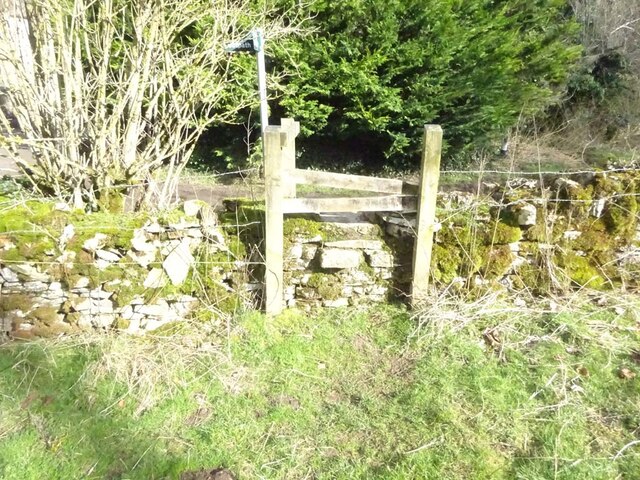
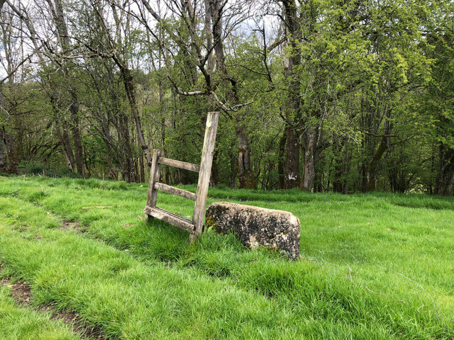
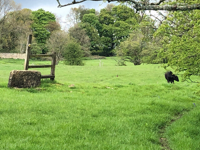
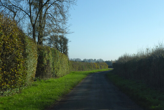
Syde Images

Images are sourced within 2km of 51.796457/-2.074574 or Grid Reference SO9410. Thanks to Geograph Open Source API. All images are credited.

Brimsfield Park Farm
Stone Stile, Caudle Green Looking SW towards the village.
Stone Stile, Caudle Green
Looking SW towards the village.
Stone Stile, Caudle Green A step stile on the Northern side of the road approaching the village. On Gloucestershire footpath BBR28. The view from the road side is <a href="https://www.geograph.org.uk/photo/7061298">SO9410 : Stone Stile, Caudle Green</a>.
Stone Stile, Caudle Green
A step stile on the Northern side of the road approaching the village. On Gloucestershire footpath BBR28. The view from the road side is SO9410 : Stone Stile, Caudle Green.
Stone Stile, Caudle Green A step stile on the Northern side of the road approaching the village. On Gloucestershire footpath BBR28. The view from the appreciable drop on the other side is <a href="https://www.geograph.org.uk/photo/7061296">SO9410 : Stone Stile, Caudle Green</a>.
Stone Stile, Caudle Green
A step stile on the Northern side of the road approaching the village. On Gloucestershire footpath BBR28. The view from the appreciable drop on the other side is SO9410 : Stone Stile, Caudle Green.
Stone Stile, Syde On Gloucestershire footpath BSY8 just South of the Manor House in Syde. This view is looking from the road, the view looking North is <a href="https://www.geograph.org.uk/photo/7104847">SO9410 : Stone Stile, Syde</a>.
Stone Stile, Syde
On Gloucestershire footpath BSY8 just South of the Manor House in Syde. This view is looking from the road, the view looking North is SO9410 : Stone Stile, Syde.
Stone Stile, Syde On Gloucestershire footpath BSY8 just South of the Manor House in Syde. This view is looking to the road, the view looking South is <a href="https://www.geograph.org.uk/photo/7104846">SO9410 : Stone Stile, Syde</a>.
Stone Stile, Syde
On Gloucestershire footpath BSY8 just South of the Manor House in Syde. This view is looking to the road, the view looking South is SO9410 : Stone Stile, Syde.
Stone Stile, Caudle Green Looking into a field at the junction of Gloucestershire footpaths MMN23 & BBR38 where the paths transition from woodland to a field sparsely populated with "meadow flowers". The soil in the field is heavily laden with stones. The view towards the woodland is <a href="https://www.geograph.org.uk/photo/7104960">SO9310 : Stone Stile, Caudle Green</a>.
Stone Stile, Caudle Green
Looking into a field at the junction of Gloucestershire footpaths MMN23 & BBR38 where the paths transition from woodland to a field sparsely populated with "meadow flowers". The soil in the field is heavily laden with stones. The view towards the woodland is SO9310 : Stone Stile, Caudle Green.
Stone Stile, Caudle Green Looking from a field at the junction of Gloucestershire footpaths MMN23 & BBR38 where the paths transition from woodland to a field sparsely populated with "meadow flowers". The soil in the field is heavily laden with stones. The view from the woodland is <a href="https://www.geograph.org.uk/photo/7104958">SO9310 : Stone Stile, Caudle Green</a>.
Stone Stile, Caudle Green
Looking from a field at the junction of Gloucestershire footpaths MMN23 & BBR38 where the paths transition from woodland to a field sparsely populated with "meadow flowers". The soil in the field is heavily laden with stones. The view from the woodland is SO9310 : Stone Stile, Caudle Green.
Stone Stile, Caudle Green Due South of the village green at the junction of Gloucestershire footpaths MMN23 & BBR25 in woodland. This point is also on the boundaries of: county constituency, civil parishes of Miserden and Brimsfield, and the county district. This is the view looking NE, the view SW is <a href="https://www.geograph.org.uk/photo/7104970">SO9410 : Stone Stile, Caudle Green</a>.
Stone Stile, Caudle Green
Due South of the village green at the junction of Gloucestershire footpaths MMN23 & BBR25 in woodland. This point is also on the boundaries of: county constituency, civil parishes of Miserden and Brimsfield, and the county district. This is the view looking NE, the view SW is SO9410 : Stone Stile, Caudle Green.
Stone Stile, Caudle Green Due South of the village green at the junction of Gloucestershire footpaths MMN23 & BBR25 in woodland. This point is also on the boundaries of: county constituency, civil parishes of Miserden and Brimsfield, and the county district. This is the view looking SW, the view NE is <a href="https://www.geograph.org.uk/photo/7104969">SO9410 : Stone Stile, Caudle Green</a>.
Stone Stile, Caudle Green
Due South of the village green at the junction of Gloucestershire footpaths MMN23 & BBR25 in woodland. This point is also on the boundaries of: county constituency, civil parishes of Miserden and Brimsfield, and the county district. This is the view looking SW, the view NE is SO9410 : Stone Stile, Caudle Green.
Stone Stile, Caudle Green From a small field into a grazing field at the SE corner of the garden walls of 'Calley House'. This is looking SW away from the village, the view towards the village is <a href="https://www.geograph.org.uk/photo/7104983">SO9410 : Stone Stile, Caudle Green</a>.
Stone Stile, Caudle Green
From a small field into a grazing field at the SE corner of the garden walls of 'Calley House'. This is looking SW away from the village, the view towards the village is SO9410 : Stone Stile, Caudle Green.
Stone Stile, Caudle Green From a small field in to a grazing field at the SE corner of the garden wals of 'Calley House'. This is looking NE towards the village, the view towards the larger field is <a href="https://www.geograph.org.uk/photo/7104981">SO9410 : Stone Stile, Caudle Green</a>.
Stone Stile, Caudle Green
From a small field in to a grazing field at the SE corner of the garden wals of 'Calley House'. This is looking NE towards the village, the view towards the larger field is SO9410 : Stone Stile, Caudle Green.
Stone Stile, Caudle Green A step Stile off the Southern side of the village green on Gloucestershire footpath BBR25. This is looking to the village green, the view from the green is <a href="https://www.geograph.org.uk/photo/7104992">SO9410 : Stone Stile, Caudle Green</a>.
Stone Stile, Caudle Green
A step Stile off the Southern side of the village green on Gloucestershire footpath BBR25. This is looking to the village green, the view from the green is SO9410 : Stone Stile, Caudle Green.
Stone Stile, Caudle Green A step Stile off the Southern side of the village green on Gloucestershire footpath BBR25. This is looking from the village green, the view toward the green is <a href="https://www.geograph.org.uk/photo/7104990">SO9410 : Stone Stile, Caudle Green</a>.
Stone Stile, Caudle Green
A step Stile off the Southern side of the village green on Gloucestershire footpath BBR25. This is looking from the village green, the view toward the green is SO9410 : Stone Stile, Caudle Green.
Stone Stile, Caudle Green A step stile. Looking out of the field on Gloucestershire footpath BBR28 to the road. The view from the road is <a href="https://www.geograph.org.uk/photo/7041359">SO9410 : Stone Stile, Caudle Green</a>.
Stone Stile, Caudle Green
A step stile. Looking out of the field on Gloucestershire footpath BBR28 to the road. The view from the road is SO9410 : Stone Stile, Caudle Green.
Stone Stile, Syde To the NW of the village on Gloucestershire footpath BBR29 looking East to Ostrich Wood. 
The View North looking at the enclosure walls of an abandoned hamlet 
called Eddington is <a href="https://www.geograph.org.uk/photo/7329990">SO9411 : Stone Stile, Syde</a>.
Stone Stile, Syde
To the NW of the village on Gloucestershire footpath BBR29 looking East to Ostrich Wood. The View North looking at the enclosure walls of an abandoned hamlet called Eddington is SO9411 : Stone Stile, Syde.
Stone Stile, Syde To the NW of the village on Gloucestershire footpath BBR29 looking North looking at the enclosure wall
of an abandoned hamlet called Eddington.
The view East to Ostrich Wood is <a href="https://www.geograph.org.uk/photo/7329988">SO9411 : Stone Stile, Syde</a>.
Stone Stile, Syde
To the NW of the village on Gloucestershire footpath BBR29 looking North looking at the enclosure wall of an abandoned hamlet called Eddington. The view East to Ostrich Wood is SO9411 : Stone Stile, Syde.
Lane from Brimpsfield towards Caudle Green
Show me another place!

Syde is located at Grid Ref: SO9410 (Lat: 51.796457, Lng: -2.074574)

Administrative County: Gloucestershire

District: Cotswold

Police Authority: Gloucestershire

What 3 Words

///cheesy.ghosts.movie. Near Shurdington, Gloucestershire

Related Wikis

Nearby Amenities

Located within 500m of 51.796457,-2.074574
Syde
Is In: Gloucestershire, England, UK
Place: village
Lat/Long: 51.7964739/-2.0748068
Post Box
Collection Times: Mo-Fr 16:30; Sa 09:00; Su off
Drive Through: no
Operator: Royal Mail
Operator Wikidata: Q638098
Post Box Type: wall
Ref: GL53 137
Royal Cypher: EVIIR
Royal Cypher Wikidata: Q33102324
Source: survey
Lat/Long: 51.7963816/-2.074595
Barrier: stile
Material: wood
Stile: stepover
Lat/Long: 51.7929484/-2.0765384
The data included in this document is from www.openstreetmap.org. The data is made available under ODbL.

Have you been to Syde?

Leave your review of Syde below (or comments, questions and feedback).