Boltonhill
Settlement in Pembrokeshire
Wales
Boltonhill

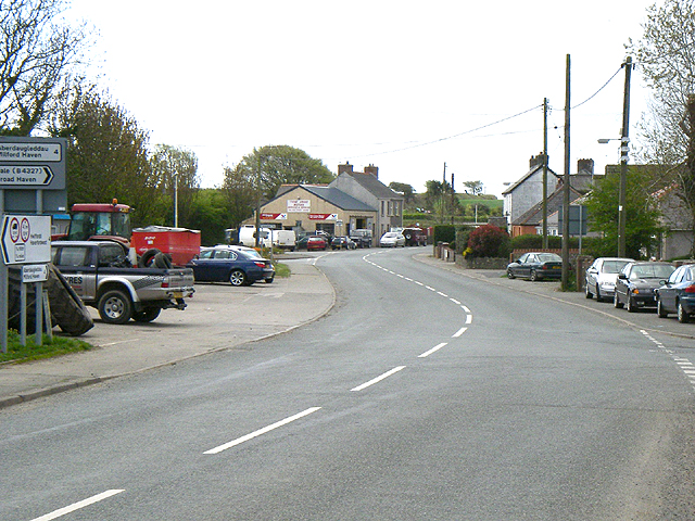
Boltonhill is a small village located in the county of Pembrokeshire, Wales. Situated in the southwestern part of the country, it is nestled amidst picturesque rolling hills and lush green landscapes. The village is characterized by its tranquil and idyllic setting, making it a popular destination for those seeking a peaceful retreat away from the hustle and bustle of city life.
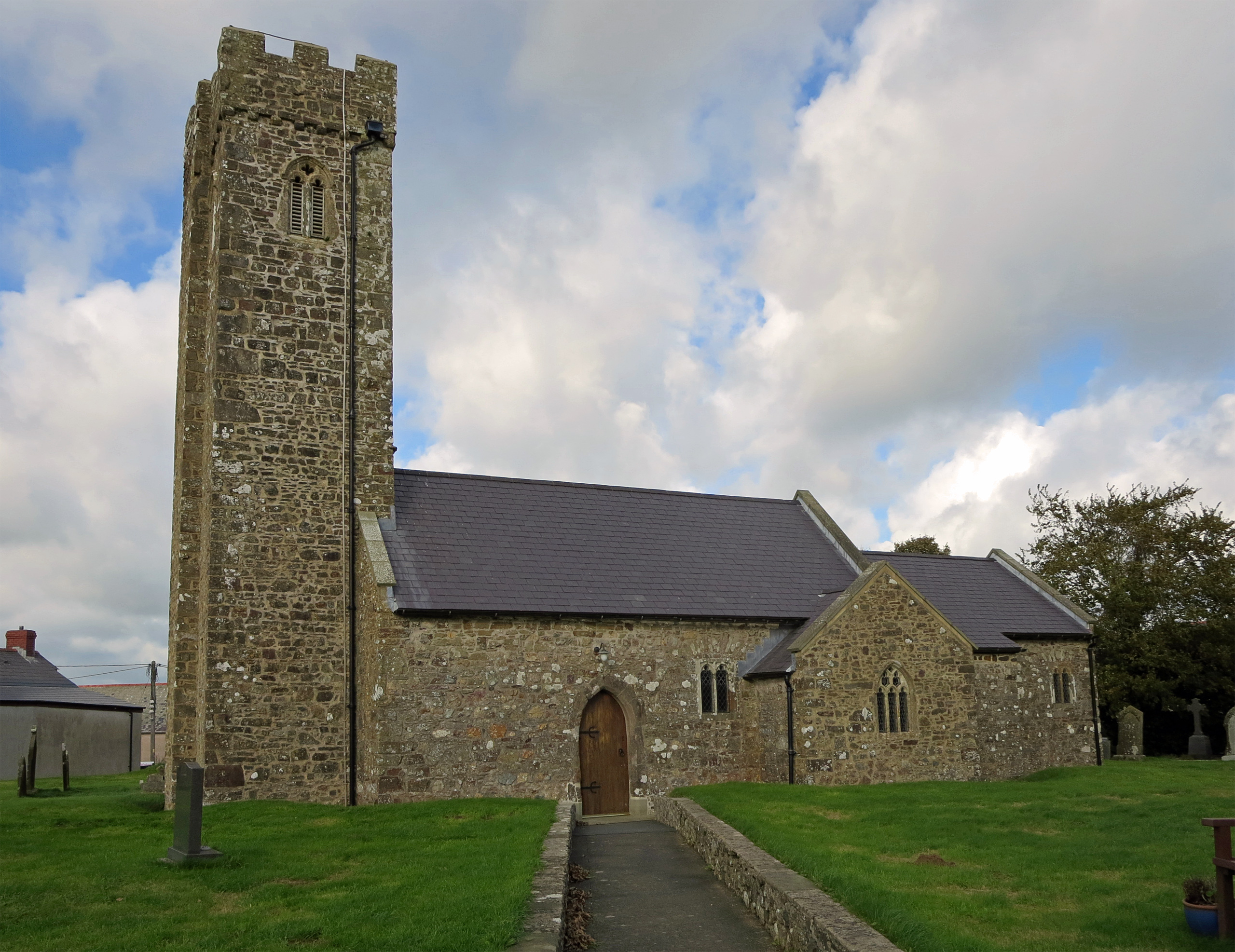
Despite its small size, Boltonhill boasts a rich history that dates back several centuries. The village is home to a number of historical landmarks, including a charming parish church that stands as a testament to the area's heritage. The church's architecture is a blend of various styles, with elements from both the Norman and Gothic periods.
Nature enthusiasts are drawn to Boltonhill for its stunning natural beauty. The village is surrounded by breathtaking countryside, offering ample opportunities for outdoor activities such as hiking, cycling, and bird watching. The nearby Pembrokeshire Coast National Park provides a haven for wildlife and offers spectacular coastal views.
Boltonhill is a tight-knit community with a friendly and welcoming atmosphere. The village is known for its sense of community spirit, with regular events and gatherings that bring residents together. A small selection of local shops and amenities cater to the needs of the villagers, ensuring they have access to essential services without having to travel far.
Overall, Boltonhill offers a peaceful and picturesque retreat that showcases the beauty of rural Wales. With its rich history, stunning natural landscapes, and close-knit community, it is a hidden gem that continues to enchant visitors and residents alike.
If you have any feedback on the listing, please let us know in the comments section below.
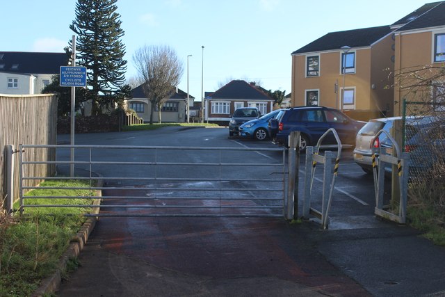
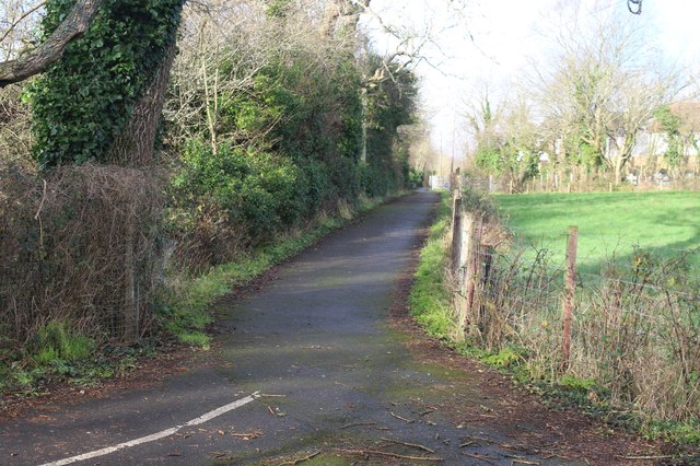
Boltonhill Images
Images are sourced within 2km of 51.759932/-5.014444 or Grid Reference SM9211. Thanks to Geograph Open Source API. All images are credited.


Boltonhill is located at Grid Ref: SM9211 (Lat: 51.759932, Lng: -5.014444)
Unitary Authority: Pembrokeshire
Police Authority: Dyfed Powys
What 3 Words
///amazed.lemmings.revival. Near Johnston, Pembrokeshire
Nearby Locations
Related Wikis
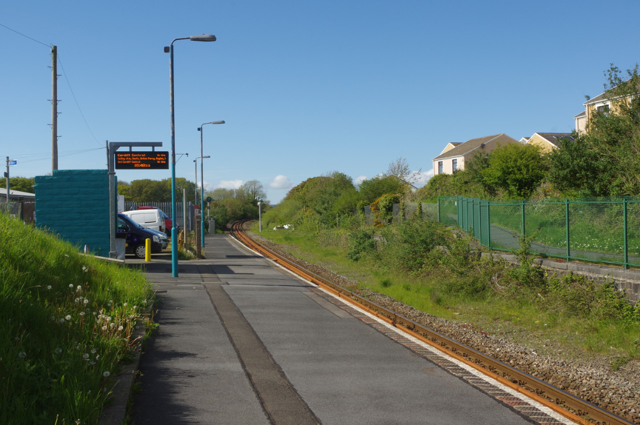
Johnston railway station
Johnston railway station is an unstaffed railway station in the village of Johnston in Pembrokeshire, Wales. It opened in 1856 as part of the final section...
Johnston, Pembrokeshire
Johnston is a village, parish and community in the former hundred of Roose, Pembrokeshire, Wales, and a parish in the diocese of Diocese of St David's...

A4076 road
The A4076 is a 9 miles (14 km) long, primary trunk road in Pembrokeshire, Wales. The A4076 begins at the Salutation Square roundabout junction with the...
Tiers Cross
Tiers Cross is a village, community and electoral ward containing the community in Pembrokeshire, West Wales. It includes the areas of Thornton and Dreenhill...
Nearby Amenities
Located within 500m of 51.759932,-5.014444Have you been to Boltonhill?
Leave your review of Boltonhill below (or comments, questions and feedback).