Boltonfellend
Settlement in Cumberland Carlisle
England
Boltonfellend

Boltonfellend is a small village located in the county of Cumberland, in the north-west region of England. Situated in the picturesque Lake District National Park, it is surrounded by stunning natural beauty, including rolling hills, verdant valleys, and picturesque lakes.
The village itself is characterized by its quaint charm and traditional architecture, with many of its buildings dating back several centuries. The local community is tight-knit, with a population of approximately 500 residents who take pride in their village's rich history and cultural heritage.
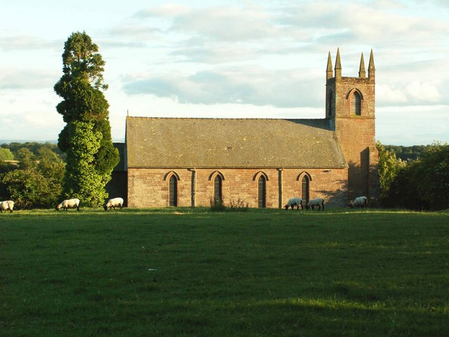
Boltonfellend offers a range of amenities to cater to the needs of its residents and visitors. These include a local church, a small primary school, a village hall, and a few independent shops and businesses. The village also benefits from excellent transport links, with regular bus services connecting it to nearby towns and cities.
For outdoor enthusiasts, Boltonfellend is a paradise. The surrounding area offers a plethora of opportunities for activities such as hiking, cycling, and fishing. The nearby lakes and rivers provide ample spaces for water-based activities, including boating and kayaking.
In terms of tourism, Boltonfellend attracts visitors from far and wide who come to experience its tranquil atmosphere and explore the stunning natural landscapes. The village is also within close proximity to several popular tourist destinations in the Lake District, such as Windermere and Keswick, making it an ideal base for those looking to explore the wider region.
Overall, Boltonfellend is a picturesque village nestled in the heart of the Lake District, offering a peaceful and idyllic retreat for residents and visitors alike.
If you have any feedback on the listing, please let us know in the comments section below.
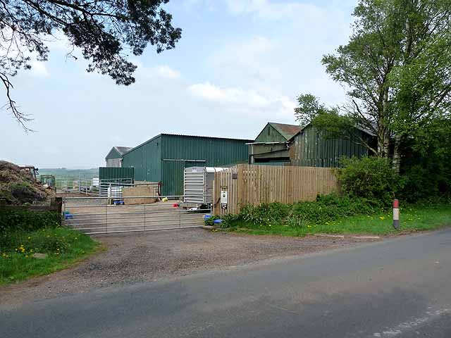
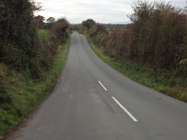
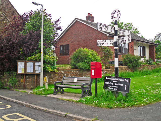
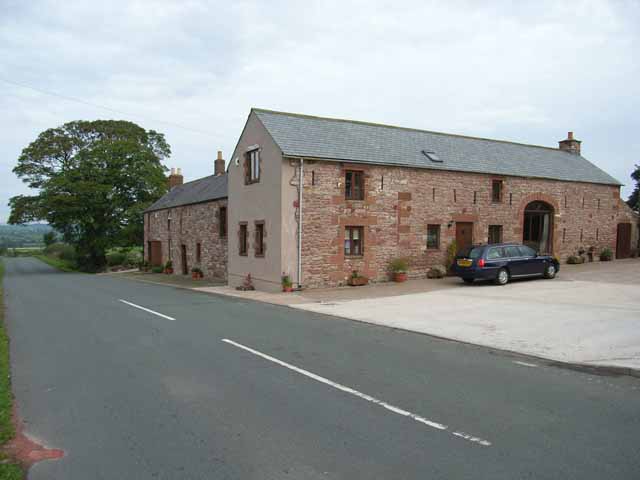
Boltonfellend Images
Images are sourced within 2km of 55.010021/-2.820576 or Grid Reference NY4768. Thanks to Geograph Open Source API. All images are credited.


Boltonfellend is located at Grid Ref: NY4768 (Lat: 55.010021, Lng: -2.820576)
Administrative County: Cumbria
District: Carlisle
Police Authority: Cumbria
What 3 Words
///earmarked.jiggle.evidence. Near Brampton, Cumbria
Nearby Locations
Related Wikis
Boltonfellend
Boltonfellend is a village in Cumbria, England. == External links == Media related to Boltonfellend at Wikimedia Commons

Hethersgill
Hethersgill is a village and a civil parish in the Carlisle district, in the county of Cumbria, England. Hethersgill has a church called St Mary's Church...

Solport
Solport is a civil parish in City of Carlisle district, Cumbria, England. In the 2011 UK Census it had a population of 166.It shares a parish council with...

Brackenhill Tower
Brackenhill Tower is a peel tower, in the parish of Arthuret, in Cumbria, just north of the River Lyne. The site is about 2 miles (3.2 km) north of Kirklinton...
Stapleton, Cumbria
Stapleton is a village and civil parish in the City of Carlisle district, in the county of Cumbria, in the North West of England. It falls under the jurisdiction...
Skitby
Skitby is a hamlet in the English county of Cumbria. Skitby lies northeast of the village of Smithfield. == External links == Map sources for Skitby

Kirklinton
Kirklinton is a village in the Carlisle district, in the English county of Cumbria. The population of the civil parish of Kirklinton Middle, taken at the...

Smithfield, Cumbria
Smithfield is a village located in the parish of Kirklinton Middle approximately 8 miles north of Carlisle in Cumbria, United Kingdom, and has a population...
Nearby Amenities
Located within 500m of 55.010021,-2.820576Have you been to Boltonfellend?
Leave your review of Boltonfellend below (or comments, questions and feedback).