Swan Green
Settlement in Cheshire
England
Swan Green

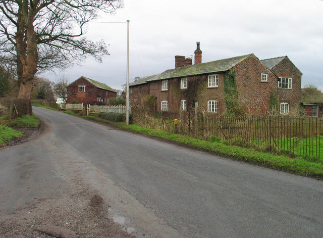
Swan Green is a charming village located in the county of Cheshire, England. Situated just a few miles south of the bustling town of Macclesfield, Swan Green is known for its picturesque surroundings and tranquil atmosphere.
The village is characterized by its traditional stone cottages, which are adorned with colorful flower gardens. The centerpiece of Swan Green is a quaint village green, where locals often gather to relax and enjoy the peaceful surroundings. The green is home to a beautiful swan pond, from which the village derives its name.
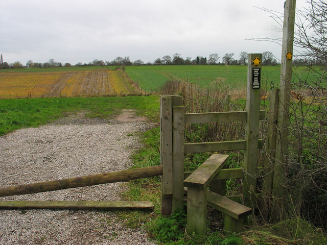
The village is surrounded by rolling green hills and scenic countryside, making it a popular destination for nature lovers and outdoor enthusiasts. There are several walking and cycling trails that meander through the surrounding fields and woodlands, offering breathtaking views and opportunities for wildlife spotting.
Swan Green boasts a close-knit community, with a range of amenities to cater to the needs of its residents. The village is home to a small but well-stocked village shop, a cozy pub serving delicious local fare, and a primary school providing education to the local children.
Despite its rural setting, Swan Green benefits from its proximity to Macclesfield, which provides additional amenities and services, including supermarkets, shops, and leisure facilities.
Overall, Swan Green offers a peaceful and idyllic setting for those seeking a slower pace of life, surrounded by natural beauty and a strong sense of community.
If you have any feedback on the listing, please let us know in the comments section below.
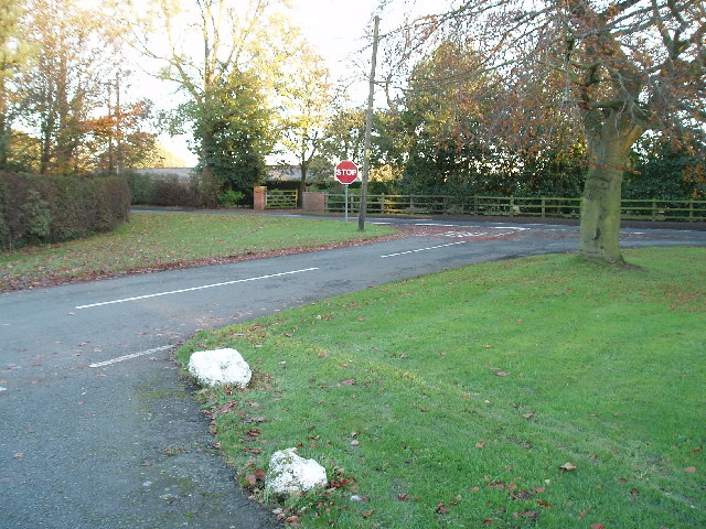
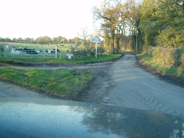
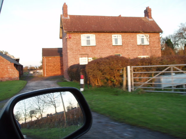
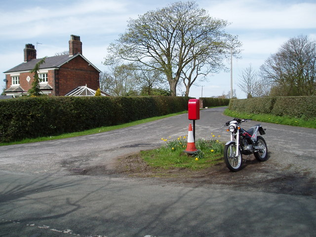
Swan Green Images
Images are sourced within 2km of 53.257196/-2.3984 or Grid Reference SJ7373. Thanks to Geograph Open Source API. All images are credited.


Swan Green is located at Grid Ref: SJ7373 (Lat: 53.257196, Lng: -2.3984)
Unitary Authority: Cheshire West and Chester
Police Authority: Cheshire
What 3 Words
///sings.rattled.talkative. Near Peover Superior, Cheshire
Nearby Locations
Related Wikis
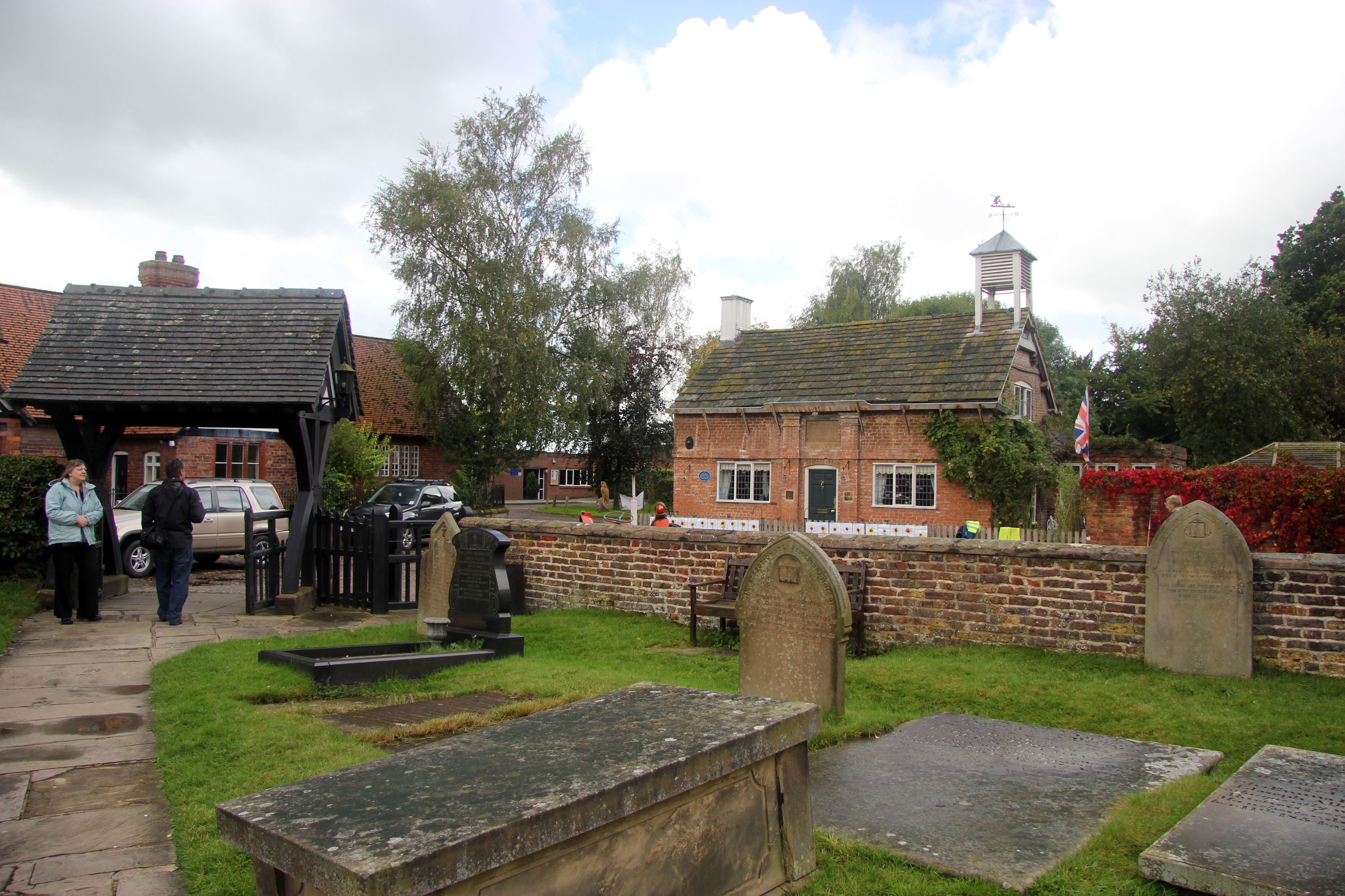
Peover Inferior
Peover Inferior is a civil parish in the Borough of Cheshire East and the ceremonial county of Cheshire, England. The village is known for its picturesque...
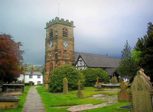
St Oswald's Church, Lower Peover
St Oswald's Church is in the village of Lower Peover, Cheshire, England. It is recorded in the National Heritage List for England as a designated Grade...

Lower Peover
Lower Peover is a village in the civil parish of Nether Peover in the unitary authority of Cheshire West and Chester and the ceremonial county of Cheshire...

Hulme Hall, Allostock
Hulme Hall is a house on a moated site in the parish of Allostock, Cheshire, England. It originated in the 15th century, with additions and alterations...
Nearby Amenities
Located within 500m of 53.257196,-2.3984Have you been to Swan Green?
Leave your review of Swan Green below (or comments, questions and feedback).