Sutton St James

Settlement in Lincolnshire South Holland

England

Sutton St James

Sutton St. James bell tower Largely fifteenth century tower. It was attached to the church of St. James but the nave of that church was demolished in the Commonwealth isolating the tower from the rest of the remaining church <span class="nowrap"><a title="https://historicengland.org.uk/listing/the-list/list-entry/1204853" rel="nofollow ugc noopener" href="https://historicengland.org.uk/listing/the-list/list-entry/1204853">Link</a><img style="margin-left:2px;" alt="External link" title="External link - shift click to open in new window" src="https://s1.geograph.org.uk/img/external.png" width="10" height="10"/></span>
Sutton St. James bell tower Credit: Jonathan Thacker

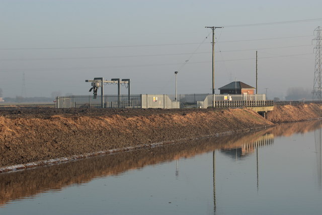
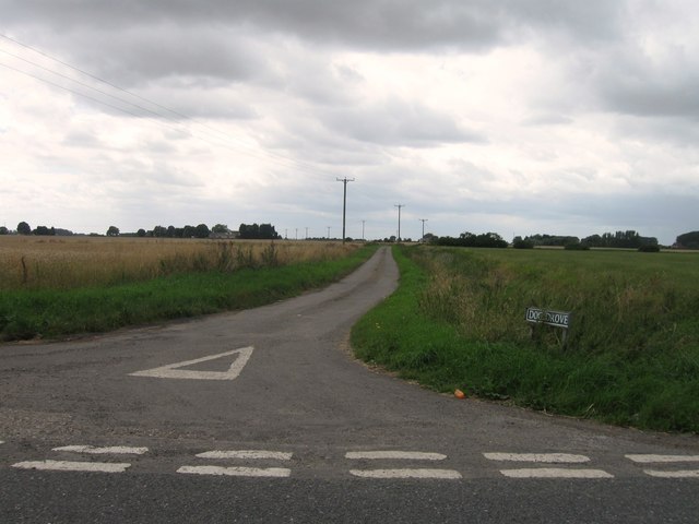
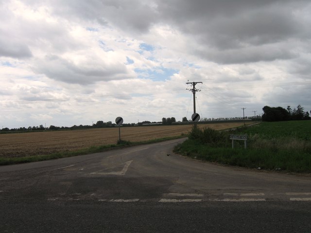
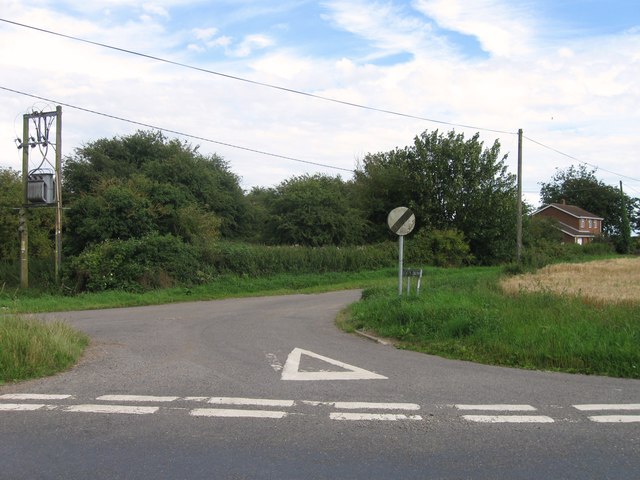
Sutton St James is a small village located in the South Holland district of Lincolnshire, England. Situated approximately 9 miles east of Spalding, it is nestled in the heart of the picturesque Fenland region. The village is surrounded by flat, fertile agricultural land, known for its extensive network of drainage channels.

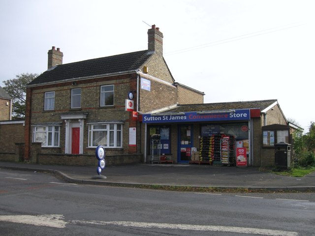
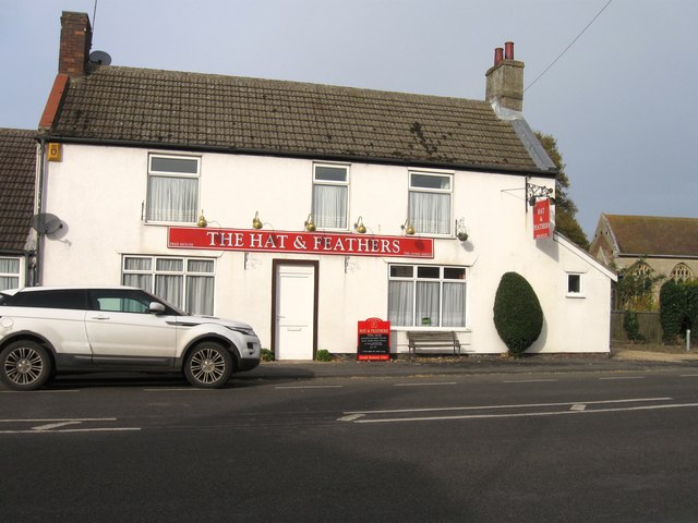
With a population of around 1,200 residents, Sutton St James has a close-knit community atmosphere. The village features a range of amenities to serve its inhabitants, including a primary school, a village hall, a post office, a convenience store, and a pub. It also has a number of sports facilities, such as a football pitch and a cricket ground, fostering a strong sense of community spirit.

Historically, Sutton St James was an important center for the agricultural industry, with farming and horticulture playing a significant role in the local economy. While these industries still thrive, the village has also seen some diversification with the growth of small businesses and self-employed individuals.

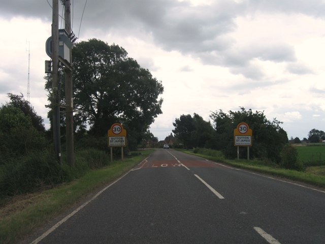
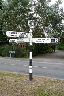
The village is well-connected to nearby towns and cities, with good road links to Spalding, Boston, and Peterborough. The A17 road runs through the village, providing easy access for commuters and visitors.

Sutton St James boasts a charming rural setting, with peaceful countryside views and a network of footpaths and nature trails for outdoor enthusiasts to explore. It offers a tranquil escape from the hustle and bustle of city life, making it an attractive place to live or visit for those seeking a quieter, more relaxed pace of life.

If you have any feedback on the listing, please let us know in the comments section below.

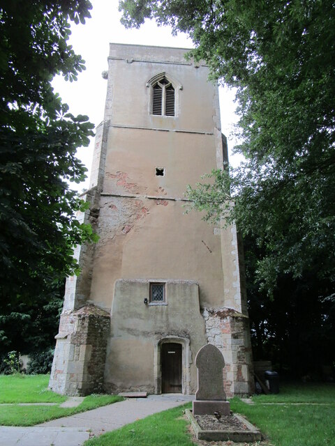
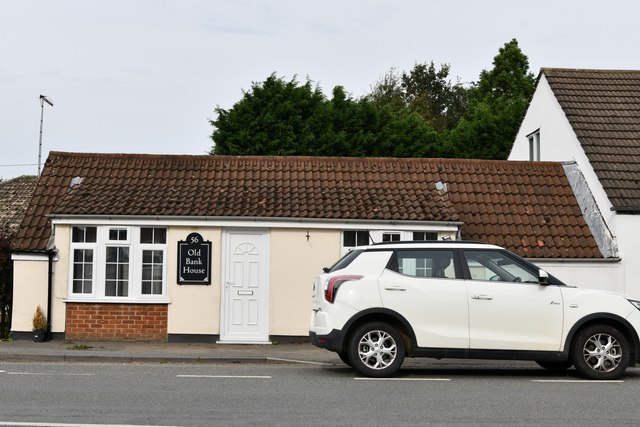
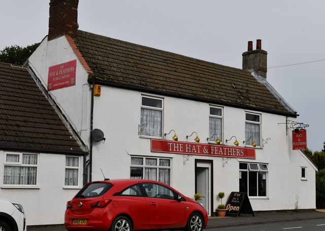
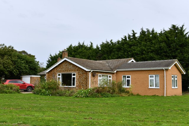
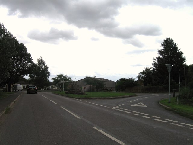
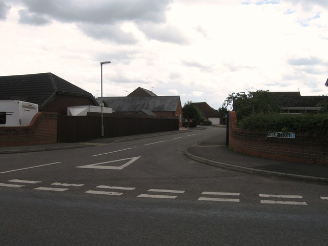
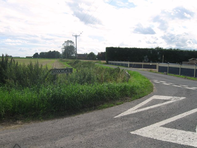
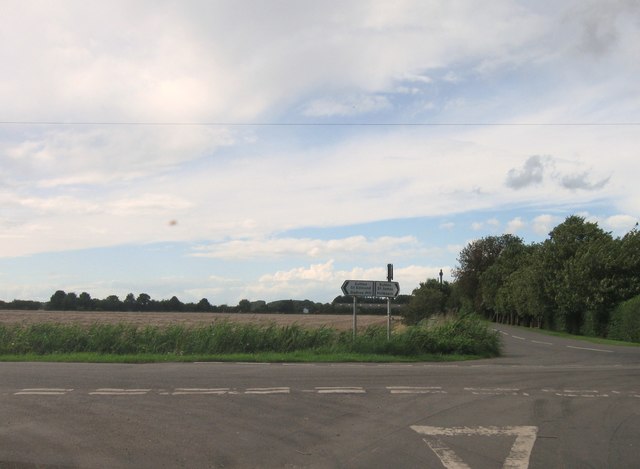
Sutton St James Images

Images are sourced within 2km of 52.744909/0.068473806 or Grid Reference TF3918. Thanks to Geograph Open Source API. All images are credited.

Sutton St. James bell tower Largely fifteenth century tower. It was attached to the church of St. James but the nave of that church was demolished in the Commonwealth isolating the tower from the rest of the remaining church <span class="nowrap"><a title="https://historicengland.org.uk/listing/the-list/list-entry/1204853" rel="nofollow ugc noopener" href="https://historicengland.org.uk/listing/the-list/list-entry/1204853">Link</a><img style="margin-left:2px;" alt="External link" title="External link - shift click to open in new window" src="https://s1.geograph.org.uk/img/external.png" width="10" height="10"/></span>
Sutton St. James bell tower
Largely fifteenth century tower. It was attached to the church of St. James but the nave of that church was demolished in the Commonwealth isolating the tower from the rest of the remaining church LinkExternal link
Sutton St James: Old Bank House
Sutton St James: The Hat and Feathers PH
Sutton St James: 28 Fishergate
Junction between Little South Holland Drain and South Holland Main Drain Sluice and pumping station emptying  the Little Holland into the South Holland Main Drain.
Junction between Little South Holland Drain and South Holland Main Drain
Sluice and pumping station emptying the Little Holland into the South Holland Main Drain.
Dog Drove
Dog Drove
Scalesgate Road
Scalesgate Road
Entrance to Sutton St James
St Ives Cross
St Ives Cross
Jubilee Close, Sutton St James
Goochgate
Goochgate
Road junction
Road junction
Road junction
Road junction
St Ives Cross
St Ives Cross
St James' church, Sutton St James
Sutton St James Convenience Store
The Hat & Feathers
The Hat & Feathers
Direction Sign - Signpost by the B1165, Sutton St James Annulus finial - 3 arms; Holland CC halo by the B1165, in parish of Sutton St James (South Holland District), junction of Chapel Gate, Fisher Gate and Broad Gate, on grass triangle by St Ives' Cross.

Surveyed

Milestone Society National ID: LI_TF3818
Direction Sign - Signpost by the B1165, Sutton St James
Annulus finial - 3 arms; Holland CC halo by the B1165, in parish of Sutton St James (South Holland District), junction of Chapel Gate, Fisher Gate and Broad Gate, on grass triangle by St Ives' Cross. Surveyed Milestone Society National ID: LI_TF3818
Show me another place!

Sutton St James is located at Grid Ref: TF3918 (Lat: 52.744909, Lng: 0.068473806)

Division: Parts of Holland

Administrative County: Lincolnshire

District: South Holland

Police Authority: Lincolnshire

What 3 Words

///fighters.jigging.merge. Near Fleet, Lincolnshire

Nearby Locations

Sutton St James

Related Wikis

Sutton St James

Sutton St James is a village and civil parish in the South Holland district of Lincolnshire, England, about four miles (6.4 km) south-west of Long Sutton...

Grange Farm Arboretum

The Grange Farm Arboretum is a small private arboretum comprising 3 hectares accommodating over 800 trees, mostly native and ornamental species or cultivars...

Tydd St Giles

Tydd St Giles is a village in Fenland, Cambridgeshire, England. It is the northernmost village in the Isle of Ely, Cambridgeshire (bordering Lincolnshire...

Gedney Broadgate

Gedney Broadgate is a hamlet in the civil parish of Gedney and the South Holland district of Lincolnshire, England. It is situated west from the A17 road...

Holbeach Fen

Holbeach Fen is a fenland settlement and area in the South Holland district of southern Lincolnshire, England. It is 3 miles (5 km) south from Holbeach...

Tydd St Mary

Tydd St Mary is a village and civil parish in the South Holland district of Lincolnshire, England, about 9 miles (14 km) east of the town of Spalding and...

Low Fulney

Low Fulney is a hamlet in the South Holland district of Lincolnshire, England. It is in the Spalding St. Paul's ward of the South Holland District Council...

Holbeach St Johns

Holbeach St Johns is a small village in South Holland district of Lincolnshire, England. It is situated approximately 4 miles (6 km) south from the town...

Nearby Amenities

Located within 500m of 52.744909,0.068473806
Sutton St James
Is In County: Lincolnshire
Is In District: South Holland
Place: village
Lat/Long: 52.7447684/0.0691516
Bus Stop
St James's Church
Naptan AtcoCode: 270000009657
Naptan Bearing: SW
Naptan CommonName: St James's Church
Naptan Indicator: opp
Naptan Landmark: St James's Church
Naptan NaptanCode: linjdmtw
Naptan Street: Draw Dike
Naptan Verified: no
Source: naptan_import
Lat/Long: 52.7445546/0.0674064
Bus Stop
Jarvisgate
Naptan AtcoCode: 270000014514
Naptan Bearing: N
Naptan CommonName: Jarvisgate
Naptan Indicator: o/s
Naptan Landmark: Number 23
Naptan NaptanCode: linjptwj
Naptan Street: Jarvisgate
Naptan Verified: no
Source: naptan_import
Lat/Long: 52.7473123/0.0727081
Bus Stop
Jarvisgate
Naptan AtcoCode: 270000014515
Naptan Bearing: S
Naptan CommonName: Jarvisgate
Naptan Indicator: opp
Naptan Landmark: Number 23
Naptan NaptanCode: linjptwm
Naptan Street: Jarvisgate
Naptan Verified: no
Source: naptan_import
Lat/Long: 52.7473097/0.0728561
Bus Stop
St James's Church
Naptan AtcoCode: 2700LSSJC343
Naptan Bearing: NE
Naptan CommonName: St James's Church
Naptan Indicator: adj
Naptan Landmark: St James's Church
Naptan NaptanCode: linadmgd
Naptan Street: Draw Dike
Naptan Verified: no
Source: naptan_import
Lat/Long: 52.7447245/0.0674589
Post Box
Collection Times: Mo-Fr 09:15; Sa 13:30
Description: At left side of driveway to house.
Opposite flat-roofed white garage-like building.20m W of, and opposite, Spar shop.
Post Box Mounting: brick_pillar
Post Box Type: wall
Ref: PE12 167
Royal Cypher: EIIR
Royal Cypher Wikidata: Q33102113
Lat/Long: 52.744434/0.065894
Festival Square
Place: locality
Source: Bing
Lat/Long: 52.7429348/0.0647289
Pub
Hat & Feathers
Addr City: Spalding
Addr Country: GB
Addr Housenumber: 54
Addr Postcode: PE12 0EE
Addr Street: Chapel Gate
Addr Suburb: Sutton St James
Fhrs Authority: South Holland
Fhrs Id: 243591
Fhrs Local Authority Id: 4732
Lat/Long: 52.7446587/0.066961
Fast Food
Baz'e Curry
Addr City: Spalding
Addr Country: GB
Addr Housenumber: 57-59
Addr Postcode: PE12 0EF
Addr Street: Chapel Gate
Addr Suburb: Sutton St James
Fhrs Authority: South Holland
Fhrs Id: 1180698
Fhrs Local Authority Id: 16602
Lat/Long: 52.7443177/0.0664675
Bench
Lat/Long: 52.7443373/0.0642198
Community Centre
Sutton St James Church Hall
Addr City: Spalding
Addr Country: GB
Addr Postcode: PE12 0JG
Addr Street: Bells Drove
Addr Suburb: Sutton St James
Fhrs Authority: South Holland
Fhrs Id: 243201
Fhrs Local Authority Id: 9042
Lat/Long: 52.7442812/0.0686216
Kindergarten
Sutton St James Pre School Playgroup
Addr City: Spalding
Addr Country: GB
Addr Housename: The Unit
Addr Postcode: PE12 0JG
Addr Street: Bell's Drove
Addr Suburb: Sutton St James
Fhrs Authority: South Holland
Fhrs Id: 243577
Fhrs Local Authority Id: 31730
Lat/Long: 52.7435927/0.0689113
Place Of Worship
Sutton St James Baptist Church
Building: chapel
Denomination: baptist
Religion: christian
Lat/Long: 52.7442357/0.0654486
N W Roffe & Daughters
Addr City: Spalding
Addr Country: GB
Addr Housenumber: 46
Addr Postcode: PE12 0EE
Addr Street: Chapel Gate
Addr Suburb: Sutton St James
Fhrs Authority: South Holland
Fhrs Id: 243500
Fhrs Local Authority Id: 28853
Shop: butcher
Lat/Long: 52.7450947/0.0690025
Generator Method: photovoltaic
Generator Output Electricity: yes
Generator Source: solar
Generator Type: solar_photovoltaic_panel
Location: roof
Power: generator
Lat/Long: 52.7434881/0.0710089
Generator Method: photovoltaic
Generator Output Electricity: yes
Generator Source: solar
Generator Type: solar_photovoltaic_panel
Location: roof
Power: generator
Lat/Long: 52.7466283/0.0734014
Generator Method: photovoltaic
Generator Output Electricity: yes
Generator Source: solar
Generator Type: solar_photovoltaic_panel
Location: roof
Power: generator
Lat/Long: 52.746617/0.0733317
Generator Method: photovoltaic
Generator Output Electricity: yes
Generator Source: solar
Generator Type: solar_photovoltaic_panel
Location: roof
Power: generator
Lat/Long: 52.7475295/0.0731171
Generator Method: photovoltaic
Generator Output Electricity: yes
Generator Source: solar
Generator Type: solar_photovoltaic_panel
Location: roof
Power: generator
Lat/Long: 52.7438283/0.0660441
Generator Method: photovoltaic
Generator Output Electricity: yes
Generator Source: solar
Generator Type: solar_photovoltaic_panel
Location: roof
Power: generator
Lat/Long: 52.7432614/0.0664867
Generator Method: photovoltaic
Generator Output Electricity: yes
Generator Source: solar
Generator Type: solar_photovoltaic_panel
Location: roof
Power: generator
Lat/Long: 52.7430309/0.0665242
Generator Method: photovoltaic
Generator Output Electricity: yes
Generator Source: solar
Generator Type: solar_photovoltaic_panel
Location: roof
Power: generator
Lat/Long: 52.7430041/0.0662922
Generator Method: photovoltaic
Generator Output Electricity: yes
Generator Source: solar
Generator Type: solar_photovoltaic_panel
Location: roof
Power: generator
Lat/Long: 52.7426207/0.0668984
Generator Method: photovoltaic
Generator Output Electricity: yes
Generator Source: solar
Generator Type: solar_photovoltaic_panel
Location: roof
Power: generator
Lat/Long: 52.7426353/0.0672068
Generator Method: photovoltaic
Generator Output Electricity: yes
Generator Source: solar
Generator Type: solar_photovoltaic_panel
Location: roof
Power: generator
Lat/Long: 52.7425899/0.0657839
Generator Method: photovoltaic
Generator Output Electricity: yes
Generator Source: solar
Generator Type: solar_photovoltaic_panel
Location: roof
Power: generator
Lat/Long: 52.7447274/0.0639292
Generator Method: photovoltaic
Generator Output Electricity: yes
Generator Source: solar
Generator Type: solar_photovoltaic_panel
Location: roof
Power: generator
Lat/Long: 52.7442565/0.0630119
The data included in this document is from www.openstreetmap.org. The data is made available under ODbL.

Have you been to Sutton St James?

Leave your review of Sutton St James below (or comments, questions and feedback).