Summerfield

Settlement in Worcestershire Wyre Forest

England

Summerfield

Hartlebury Common An area of lowland heath. Picture taken from grid ref SO 82651 71379, approx. 50 metres west of the trigpoint, looking SSW along the public footpath.
Hartlebury Common Credit: Martyn B

Summerfield is a small village located in the county of Worcestershire, England. Situated approximately 10 miles southwest of the city of Worcester, Summerfield is nestled within the picturesque countryside, offering residents and visitors a peaceful and idyllic setting.

The village is renowned for its charming and traditional English architecture, with many historic buildings dating back several centuries. The local community takes great pride in maintaining the village's character, evident in the well-preserved thatched cottages and stone houses that line the streets.

Nature lovers are drawn to Summerfield due to its proximity to the Malvern Hills, an Area of Outstanding Natural Beauty. The rolling hills provide opportunities for hiking, cycling, and enjoying the stunning panoramic views of the surrounding countryside. Additionally, the nearby River Severn offers a tranquil setting for fishing and boating enthusiasts.

Despite its small size, Summerfield boasts a strong sense of community, with various social and cultural events taking place throughout the year. The village hall acts as a hub for these activities, hosting events such as craft fairs, music concerts, and community gatherings. The local pub, a focal point of village life, provides a warm and welcoming atmosphere for residents and visitors alike.

In terms of amenities, Summerfield has a primary school, a village shop, and a post office, ensuring that basic needs are met within the village itself. For more extensive shopping and leisure activities, residents can easily access the nearby city of Worcester.

Overall, Summerfield offers a tranquil and picturesque village lifestyle, perfectly suited for those seeking a peaceful retreat in the heart of the Worcestershire countryside.

If you have any feedback on the listing, please let us know in the comments section below.
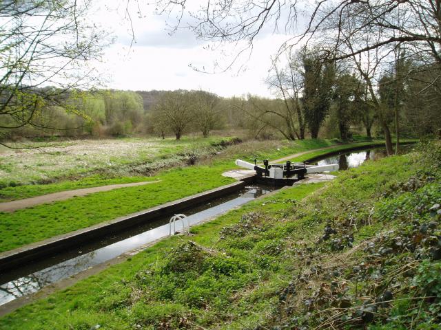
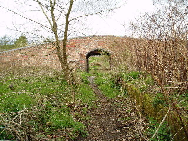
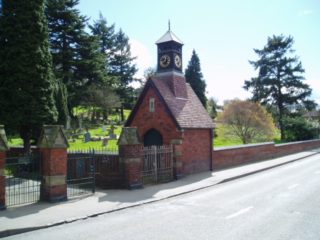
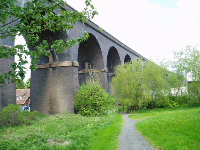
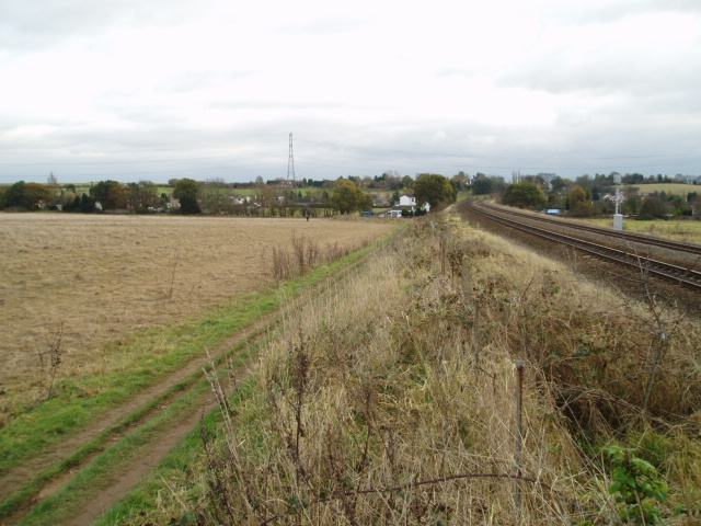
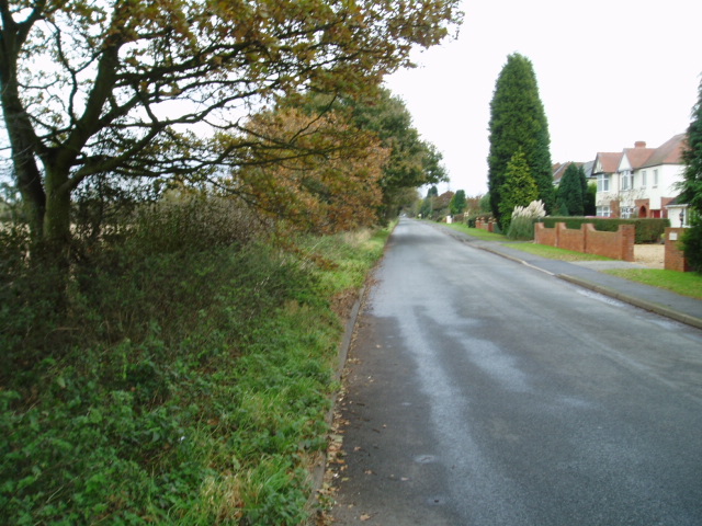
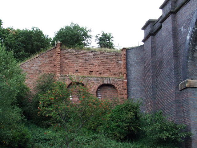
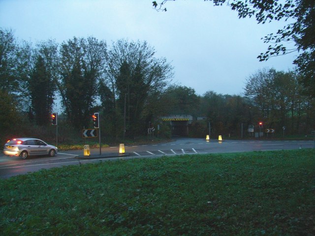
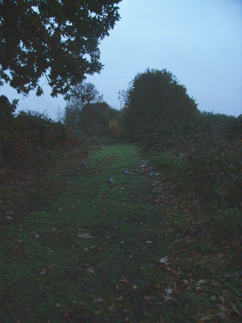
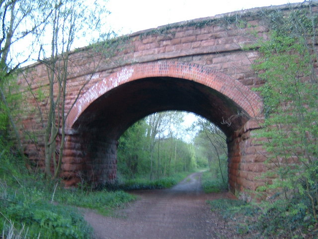
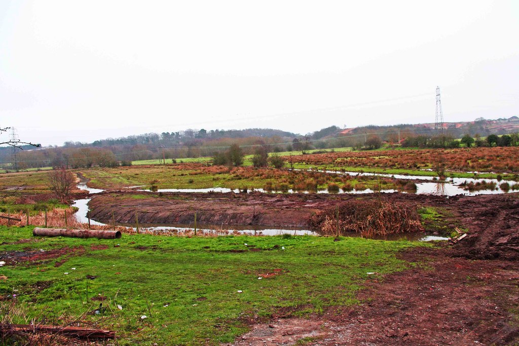
Summerfield Images

Images are sourced within 2km of 52.354676/-2.2486172 or Grid Reference SO8372. Thanks to Geograph Open Source API. All images are credited.

Hartlebury Common An area of lowland heath. Picture taken from grid ref SO 82651 71379, approx. 50 metres west of the trigpoint, looking SSW along the public footpath.
Hartlebury Common
An area of lowland heath. Picture taken from grid ref SO 82651 71379, approx. 50 metres west of the trigpoint, looking SSW along the public footpath.
Falling Sands Lock, Staffs.& Worcs. Canal The picture shows the canal at a point close to the River Stour, the course of which can be seen running almost parallel to the canal. The Stour was navigable in the 18th century to a point a few hundred metres downstream from where the picture was taken, at SO 82774 74520.
Falling Sands Lock, Staffs.& Worcs. Canal
The picture shows the canal at a point close to the River Stour, the course of which can be seen running almost parallel to the canal. The Stour was navigable in the 18th century to a point a few hundred metres downstream from where the picture was taken, at SO 82774 74520.
Platt's Wharf, Staffs. & Worcs. Canal The bridge at Platt’s Wharf takes the canal towpath over a disused lock, which used to link the Staffs. & Worcs. Canal to the River Stour. The wall of the lock is clearly visible on the right. The picture was taken from SO 82506 73773, looking from the River Stour towards the canal, which is visible through the arch of the bridge.
Platt's Wharf, Staffs. & Worcs. Canal
The bridge at Platt’s Wharf takes the canal towpath over a disused lock, which used to link the Staffs. & Worcs. Canal to the River Stour. The wall of the lock is clearly visible on the right. The picture was taken from SO 82506 73773, looking from the River Stour towards the canal, which is visible through the arch of the bridge.
Wilden, Alfred Baldwin Clocktower Memorial Wilden’s past was shaped by the industrialist Alfred Baldwin, father of the famous Prime Minister, Stanley Baldwin. The industries have now all but disappeared, but  the clocktower, erected at the entrance to the cemetery in 1910 by his grandson Oliver, is a lasting tribute to Alfred’s influence on the community. Taken from SO 82397 72204.
Wilden, Alfred Baldwin Clocktower Memorial
Wilden’s past was shaped by the industrialist Alfred Baldwin, father of the famous Prime Minister, Stanley Baldwin. The industries have now all but disappeared, but the clocktower, erected at the entrance to the cemetery in 1910 by his grandson Oliver, is a lasting tribute to Alfred’s influence on the community. Taken from SO 82397 72204.
Viaduct, Kidderminster The viaduct carrying the Kidderminster to Worcester mainline railway over the main A449 at Chester Road South, on the south side of Kidderminster. Picture taken from the public footpath alongside the railway at SO 8371 7464.
Viaduct, Kidderminster
The viaduct carrying the Kidderminster to Worcester mainline railway over the main A449 at Chester Road South, on the south side of Kidderminster. Picture taken from the public footpath alongside the railway at SO 8371 7464.
Mainline railway, near Kidderminster Picture taken from the north-west corner of the square looking south south-east towards Stanklyn Lane. The clearly defined path following the field boundary is not a right of way and thus does not appear on the Ordnance Survey maps of the area. The railway is the main line between Kidderminster and Worcester.
Mainline railway, near Kidderminster
Picture taken from the north-west corner of the square looking south south-east towards Stanklyn Lane. The clearly defined path following the field boundary is not a right of way and thus does not appear on the Ordnance Survey maps of the area. The railway is the main line between Kidderminster and Worcester.
Stanklyn Lane, near Kidderminster Taken from the bend in the road at SO 844 737 looking north-east, the picture shows Stanklyn Lane at the point where it remains perfectly straight for a distance of about 1 mile.
Stanklyn Lane, near Kidderminster
Taken from the bend in the road at SO 844 737 looking north-east, the picture shows Stanklyn Lane at the point where it remains perfectly straight for a distance of about 1 mile.
Staffordshire & Worcestershire Canal Bridge carrying the route of the original Severn Valley Railway across the canal.
Staffordshire & Worcestershire Canal
Bridge carrying the route of the original Severn Valley Railway across the canal.
Carpet Town Although most of the large carpet factories in the centre of Kidderminster have been closed, demolished or converted to other uses carpet manufacturing still takes place in the town.  This is part of the modern factory of one of the well known brands slightly out of town beside the Stourport Road.
Carpet Town
Although most of the large carpet factories in the centre of Kidderminster have been closed, demolished or converted to other uses carpet manufacturing still takes place in the town. This is part of the modern factory of one of the well known brands slightly out of town beside the Stourport Road.
Upper Mitton Bridge Over the Staffordshire and Worcestershire Canal.  This lane, which used to be a local rat-run around traffic congestion in Stourport on summer weekends, has been stopped up and is now just a pleasant footpath across the Stour flood plain.
Upper Mitton Bridge
Over the Staffordshire and Worcestershire Canal. This lane, which used to be a local rat-run around traffic congestion in Stourport on summer weekends, has been stopped up and is now just a pleasant footpath across the Stour flood plain.
Wharf House, near Upper Mitton Bridge A tranquil view on the Staffordshire and Worcestershire Canal.
Wharf House, near Upper Mitton Bridge
A tranquil view on the Staffordshire and Worcestershire Canal.
Upper Mitton Bridge silhouette Seen against the late afternoon sun over the Staffordshire and Worcestershire canal.
Upper Mitton Bridge silhouette
Seen against the late afternoon sun over the Staffordshire and Worcestershire canal.
Brintons No. 8 The entrance to the factory one of the remaining large carpet manufacturers in Kidderminster.  Brintons have had factories at many sites within the town over the years, hence the number.  This entrance is right on the northern edge of the square and some of the buildings in the view are in the next square.
Brintons No. 8
The entrance to the factory one of the remaining large carpet manufacturers in Kidderminster. Brintons have had factories at many sites within the town over the years, hence the number. This entrance is right on the northern edge of the square and some of the buildings in the view are in the next square.
Stour flood plain Looking across the meadows by the Stour from Upper Mitton.  The buildings by Wilden lane can be seen in the distance.
Stour flood plain
Looking across the meadows by the Stour from Upper Mitton. The buildings by Wilden lane can be seen in the distance.
Storm Damage All that remains of the old viaduct, (made mostly of wood) that was blown down in a storm. The new viaduct is seen on the right of the picture.
Storm Damage
All that remains of the old viaduct, (made mostly of wood) that was blown down in a storm. The new viaduct is seen on the right of the picture.
Road junction and low bridge The A450 joins the A449 on a sharp bend, having passed under the railway bridge. The railway line is the Droitwich-Kidderminster-Birmingham line.
Road junction and low bridge
The A450 joins the A449 on a sharp bend, having passed under the railway bridge. The railway line is the Droitwich-Kidderminster-Birmingham line.
Former trackbed Looking towards (the former) Hartlebury junction on the line that went to Bewdley (on the preserved Severn Valley Railway) via Stourport on Severn.
Former trackbed
Looking towards (the former) Hartlebury junction on the line that went to Bewdley (on the preserved Severn Valley Railway) via Stourport on Severn.
Disused railway Leapgate A wonderful find on a quest for a Geograph, we will definitely have to walk along here one day.
Disused railway Leapgate
A wonderful find on a quest for a Geograph, we will definitely have to walk along here one day.
Show me another place!

Summerfield is located at Grid Ref: SO8372 (Lat: 52.354676, Lng: -2.2486172)

Administrative County: Worcestershire

District: Wyre Forest

Police Authority: West Merica

What 3 Words

///sling.gravy.jukebox. Near Hartlebury, Worcestershire

Nearby Locations

Leapgate Summerfield

Related Wikis

Summerfield Research Station

The Summerfield Research Station is a development and production site for solid rocket motors in the United Kingdom officially formed on 1 September 1951...

Wilden, Worcestershire

Wilden is a small village about 1 mile north east of Stourport-on-Severn, Worcestershire. It is in the Stour valley and both the River Stour and the Staffordshire...

Wilden Marsh

Wilden Marsh is a nature reserve of the Worcestershire Wildlife Trust. It is situated between Kidderminster and Stourport-on-Severn, in Worcestershire...

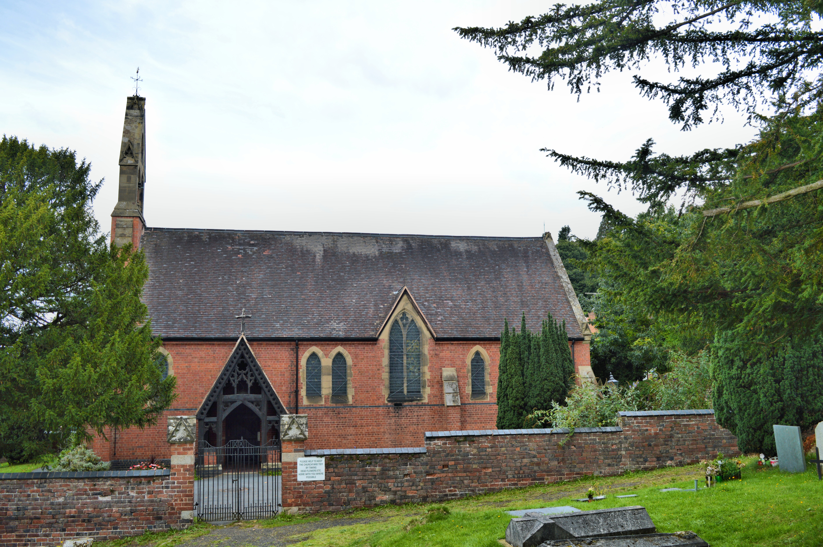
Church of All Saints, Wilden

All Saints Church in Wilden, Worcestershire about one mile to the north east of Stourport. It was designed by William Hopkins with funds provided by Alfred...

Nearby Amenities

Located within 500m of 52.354676,-2.2486172
Bus Stop
Wilden Lane- Hillary Road
Bus: yes
Naptan AtcoCode: 2000G502372
Naptan Bearing: N
Naptan CommonName: Wilden Lane- Hillary Road
Naptan Indicator: opp
Naptan Landmark: Hillary Road
Naptan NaptanCode: wocdmdgm
Naptan PlusbusZoneRef: KDRMNST
Naptan Street: Wilden Lane
Naptan Verified: no
Public Transport: platform
Source: naptan_import
Lat/Long: 52.3574497/-2.2540438
Bus Stop
Wilden Lane- Hillary Road
Bus: yes
Naptan AtcoCode: 2000G502373
Naptan Bearing: S
Naptan CommonName: Wilden Lane- Hillary Road
Naptan Indicator: Adj
Naptan Landmark: Hillary Road
Naptan NaptanCode: wocdmdgp
Naptan PlusbusZoneRef: KDRMNST
Naptan Street: Wilden Lane
Naptan Verified: no
Public Transport: platform
Source: naptan_import
Lat/Long: 52.3568558/-2.2542753
Man Made: pipeline_marker
Source: survey
Substance: gas
Lat/Long: 52.3534063/-2.249381
Man Made: pipeline_marker
Source: survey
Substance: gas
Lat/Long: 52.3533768/-2.2491503
The data included in this document is from www.openstreetmap.org. The data is made available under ODbL.

Have you been to Summerfield?

Leave your review of Summerfield below (or comments, questions and feedback).