Leapgate
Settlement in Worcestershire Wychavon
England
Leapgate

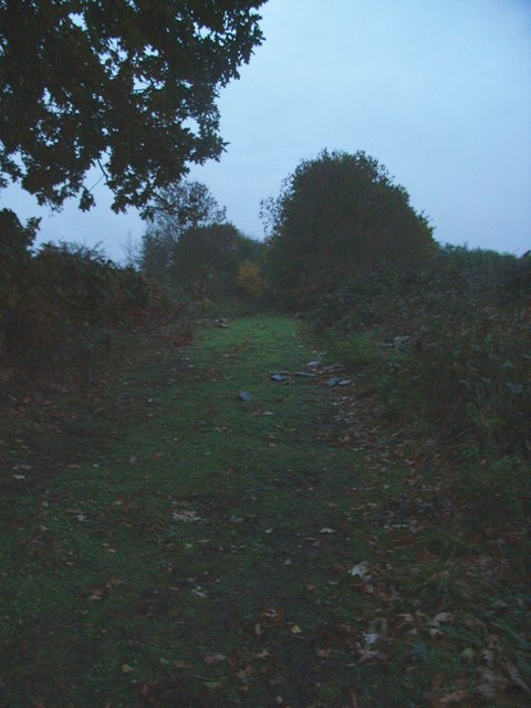
Leapgate is a small village located in Worcestershire, a county in the West Midlands region of England. Situated approximately 6 miles south of the city of Worcester, Leapgate is surrounded by picturesque countryside and offers a tranquil and rural setting.
The village is primarily known for its thriving farming community, with agriculture playing a significant role in the local economy. The fertile soil in the area allows for the cultivation of various crops, including cereals, vegetables, and fruits. Livestock farming, particularly sheep and cattle rearing, is also prominent in Leapgate.
Despite its rural character, the village benefits from good transport links. The nearby A38 road connects Leapgate to Worcester and other major towns in the county, while the M5 motorway is easily accessible, providing connections to the wider region. This convenient location allows residents to enjoy both the peace and quiet of village life and the amenities of larger urban areas.
Leapgate is a close-knit community with a strong sense of camaraderie. The village has a community hall where various events and gatherings take place, fostering social interactions among residents. Additionally, the local pub serves as a hub for locals and visitors alike, offering a warm and friendly atmosphere.
Overall, Leapgate offers a charming countryside experience with its beautiful landscapes, agricultural heritage, and close community ties. It is an ideal place for those seeking a peaceful and idyllic rural lifestyle while remaining well-connected to nearby towns and cities.
If you have any feedback on the listing, please let us know in the comments section below.
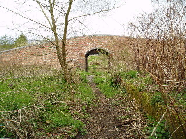
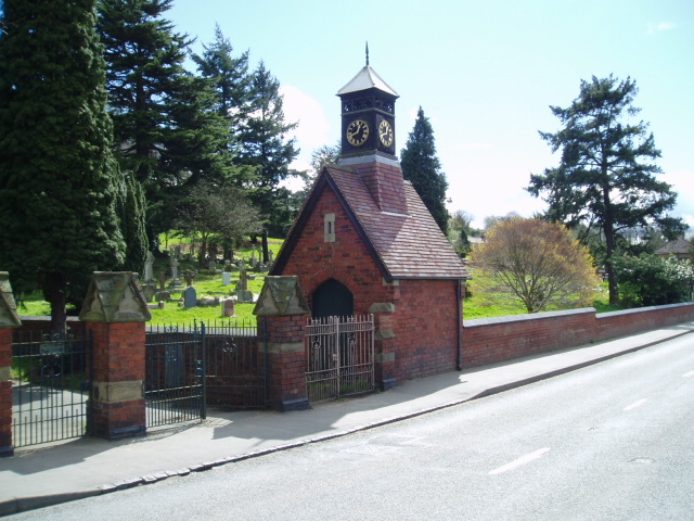
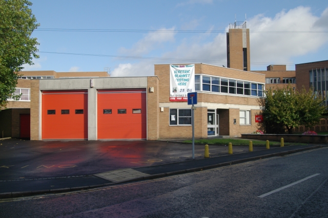
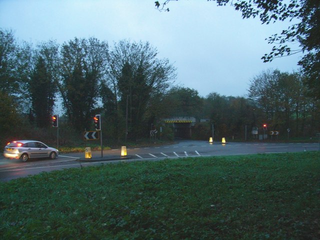
Leapgate Images
Images are sourced within 2km of 52.345806/-2.2509748 or Grid Reference SO8372. Thanks to Geograph Open Source API. All images are credited.


Leapgate is located at Grid Ref: SO8372 (Lat: 52.345806, Lng: -2.2509748)
Administrative County: Worcestershire
District: Wychavon
Police Authority: West Mercia
What 3 Words
///scar.earth.tells. Near Hartlebury, Worcestershire
Nearby Locations
Related Wikis
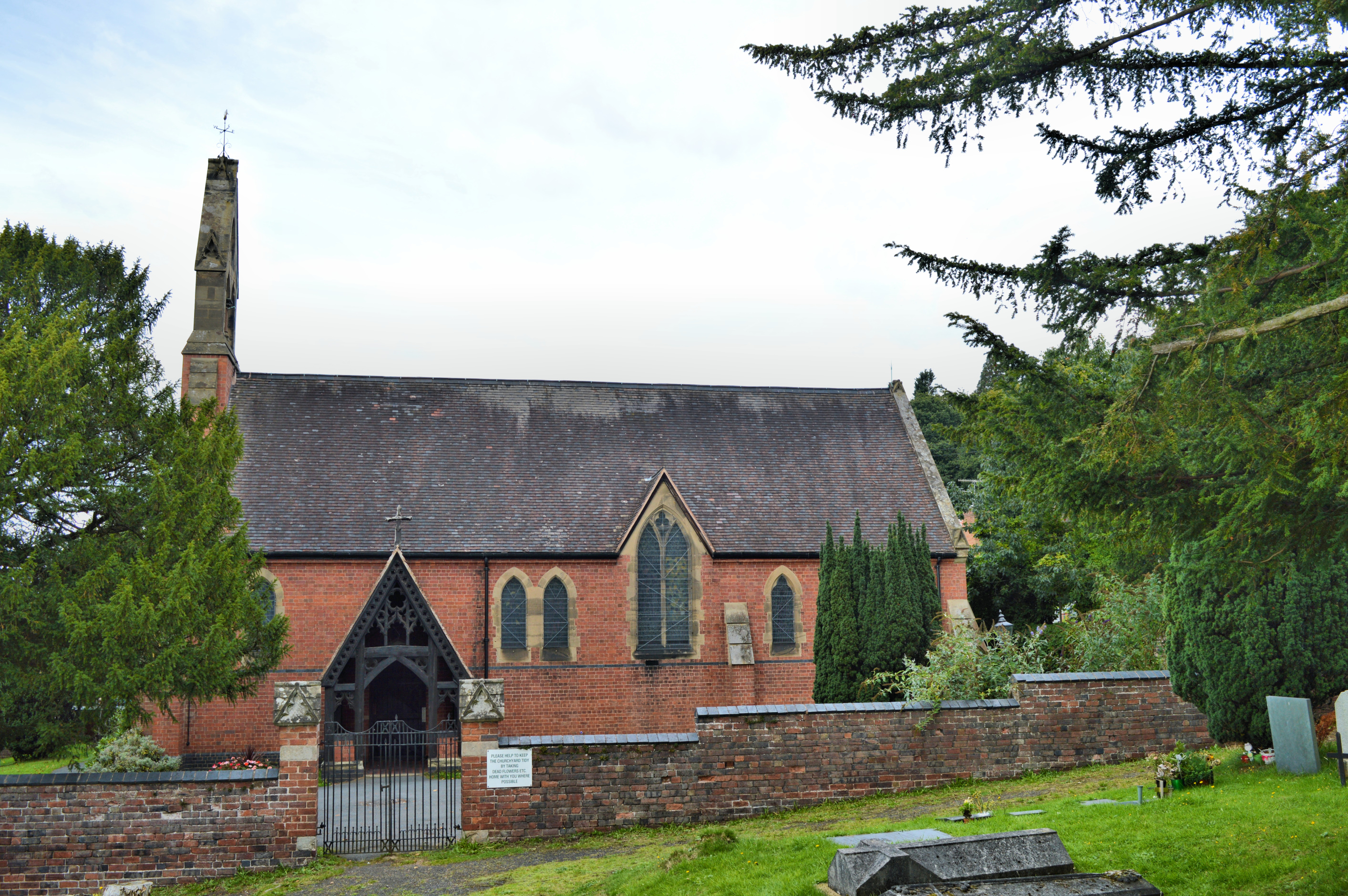
Church of All Saints, Wilden
All Saints Church in Wilden, Worcestershire about one mile to the north east of Stourport. It was designed by William Hopkins with funds provided by Alfred...

Wilden, Worcestershire
Wilden is a small village about 1 mile north east of Stourport-on-Severn, Worcestershire. It is in the Stour valley and both the River Stour and the Staffordshire...
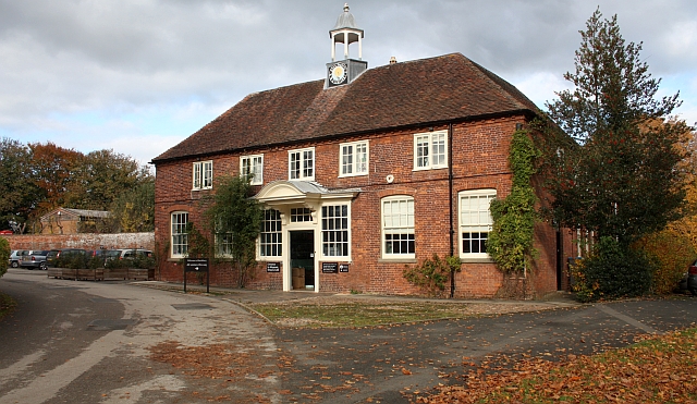
Worcestershire County Museum
Worcestershire County Museum is a local museum located within Hartlebury Castle in Hartlebury, Worcestershire, England, near the City of Worcester. The...
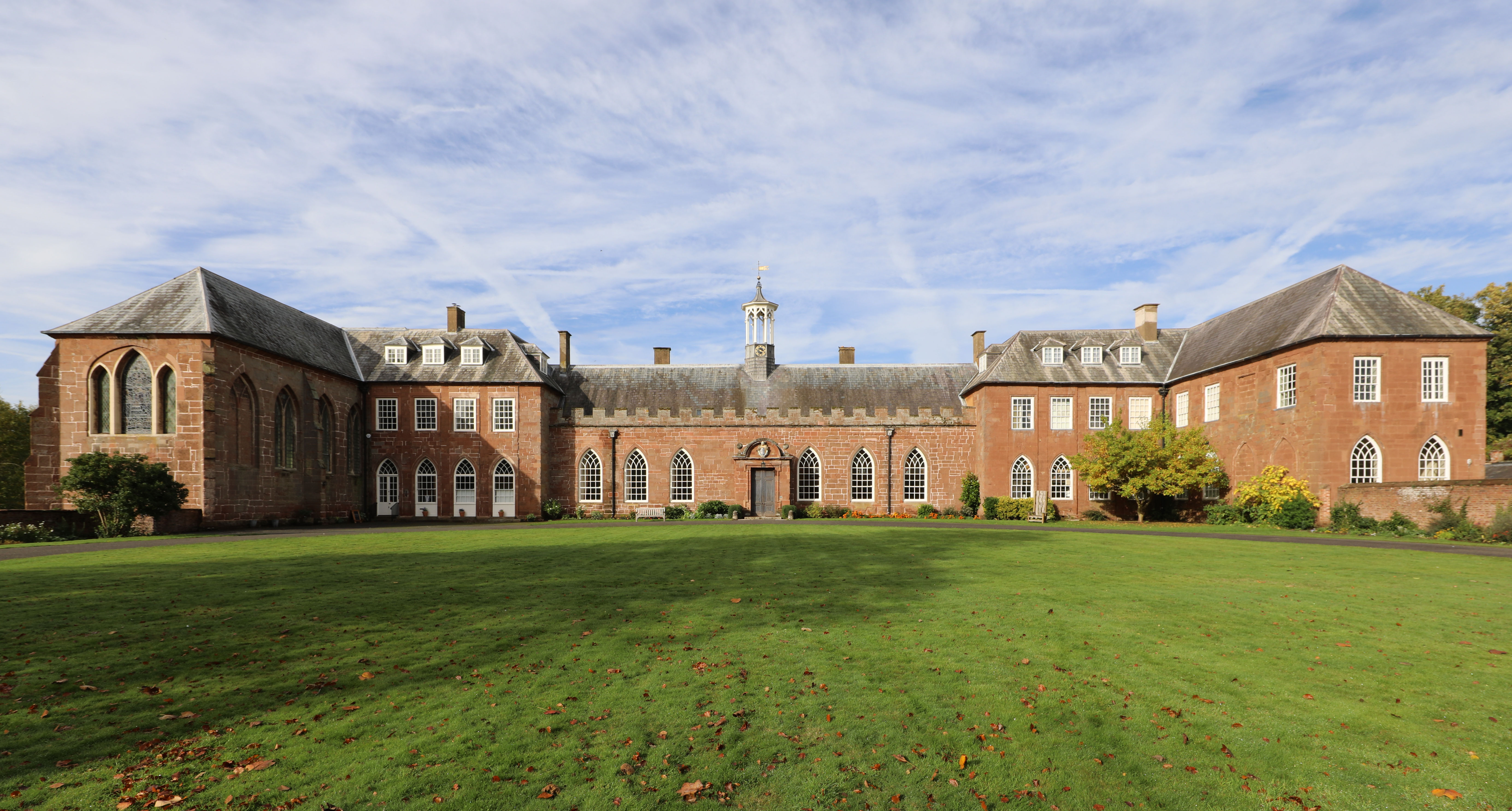
Hartlebury Castle
Hartlebury Castle, a Grade I listed building, near Hartlebury in Worcestershire, central England, was built in the mid-13th century as a fortified manor...
Nearby Amenities
Located within 500m of 52.345806,-2.2509748Have you been to Leapgate?
Leave your review of Leapgate below (or comments, questions and feedback).