Bolnhurst
Settlement in Bedfordshire
England
Bolnhurst

Bolnhurst is a small village located in the county of Bedfordshire, England. Situated approximately 9 miles north-east of Bedford, it is nestled in the tranquil countryside and surrounded by picturesque farmland. The village has a population of around 200 residents, making it a close-knit and friendly community.
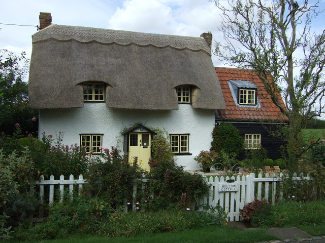
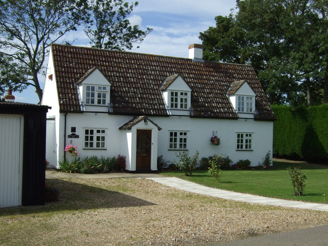
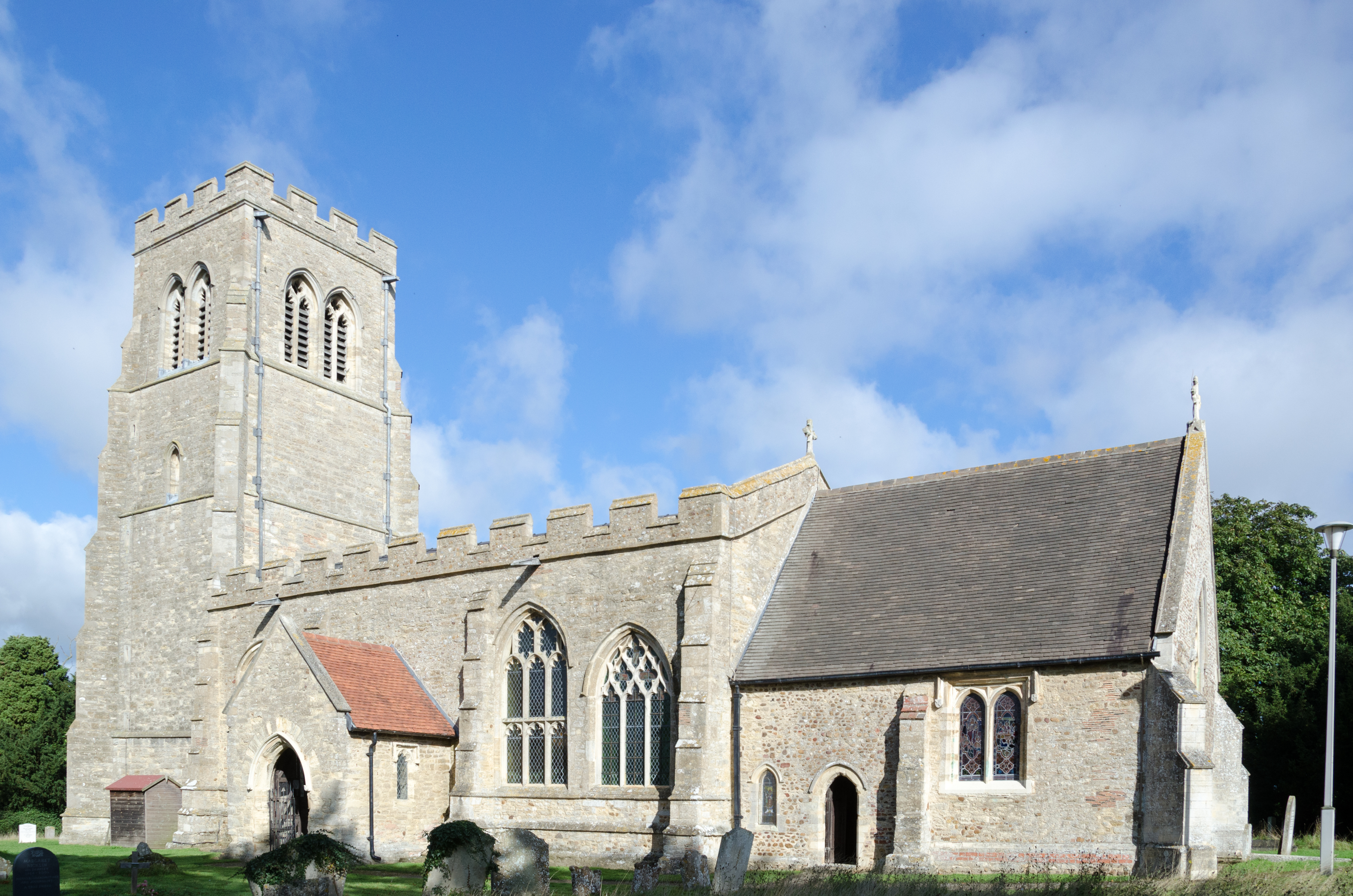
Bolnhurst is well-known for its historic charm and traditional architecture. Many of the houses date back to the 17th and 18th centuries, giving the village a unique and timeless feel. The centerpiece of Bolnhurst is the St. Dunstan's Church, a Grade I listed building that dates back to the 13th century. This beautiful church is renowned for its stunning stained glass windows and intricate carvings.
The village also boasts a number of amenities for its residents. Bolnhurst has a primary school that serves the local community, providing education for children aged 4 to 11. Additionally, there is a village hall that hosts various community events and gatherings throughout the year. The surrounding countryside offers ample opportunities for outdoor activities, such as walking, cycling, and horse riding.
Although Bolnhurst is a small village, it benefits from its proximity to larger towns and cities. Bedford, with its wide range of amenities and transport connections, is just a short drive away. The village is also conveniently located near major road networks, including the A1 and M1, making it easily accessible for commuters and visitors alike.
Overall, Bolnhurst is a charming and idyllic village, steeped in history and surrounded by natural beauty. It offers a peaceful and close-knit community, making it an ideal place to live for those seeking a tranquil rural lifestyle.
If you have any feedback on the listing, please let us know in the comments section below.
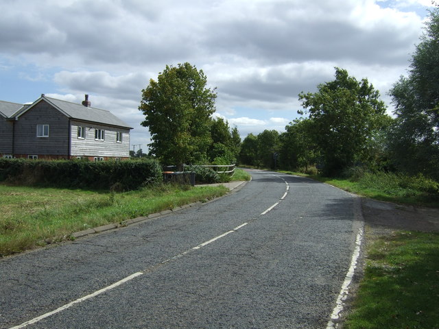
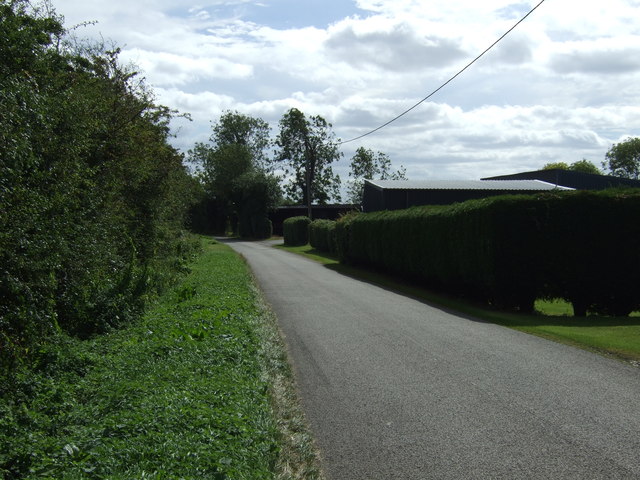
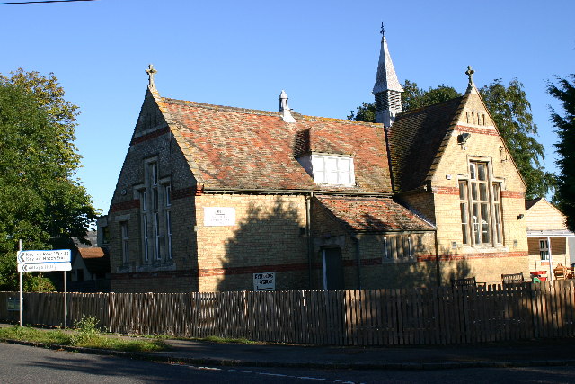
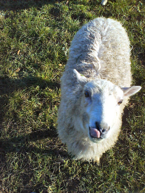
Bolnhurst Images
Images are sourced within 2km of 52.225578/-0.410163 or Grid Reference TL0859. Thanks to Geograph Open Source API. All images are credited.


Bolnhurst is located at Grid Ref: TL0859 (Lat: 52.225578, Lng: -0.410163)
Unitary Authority: Bedford
Police Authority: Bedfordshire
What 3 Words
///fortress.shoulders.display. Near Colmworth, Bedfordshire
Related Wikis
Bolnhurst
Bolnhurst is a small village and former civil parish, now in the parish of Bolnhurst and Keysoe, in the Borough of Bedford, Bedfordshire, England. The...

Bolnhurst and Keysoe
Bolnhurst and Keysoe is a civil parish in the Borough of Bedford in Bedfordshire, England. According to the 2001 census it had a population of 734, reducing...

Keysoe Row
Keysoe Row is a hamlet located in the Borough of Bedford in Bedfordshire, England. The settlement is located to the south of the village of Keysoe, and...

Colmworth
Colmworth is a village and civil parish in the Borough of Bedford in the county of Bedfordshire, England about 6.5 miles (10 km) north-east of Bedford...

Church of St Denys, Colmworth
Church of St Denys is a Grade I listed church in Colmworth, Bedfordshire, England. It became a listed building on 13 July 1964.The four stage west tower...

Bedford Aerodrome
Bedford Aerodrome (ICAO: EGBF) is located 5 nautical miles (9.3 km; 5.8 mi) north of Bedford, in Bedfordshire, England. The aerodrome which is privately...

Church of St Mary the Virgin, Keysoe
Church of St Mary the Virgin is a Grade I listed church in Keysoe, Bedfordshire, England. It became a listed building on 13 July 1964. Features of interest...
Bushmead Priory
The Priory Church of Saint Mary, Bushmead, commonly called Bushmead Priory, was a monastic foundation for Augustinian Canons, located at Bushmead (a hamlet...
Nearby Amenities
Located within 500m of 52.225578,-0.410163Have you been to Bolnhurst?
Leave your review of Bolnhurst below (or comments, questions and feedback).