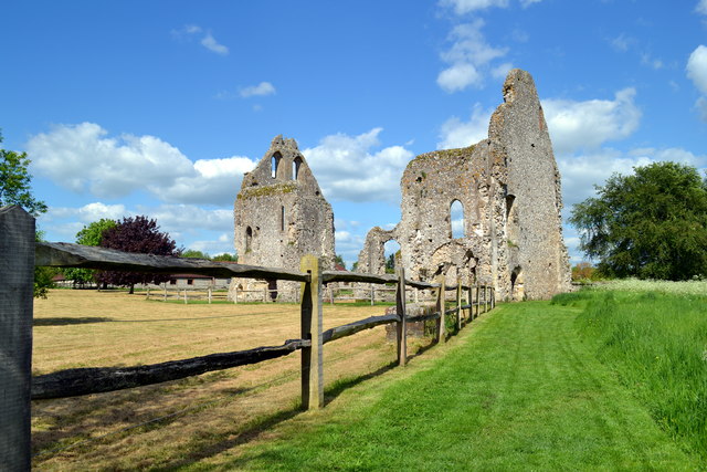
Strettington
Settlement in Sussex Chichester
England
Strettington
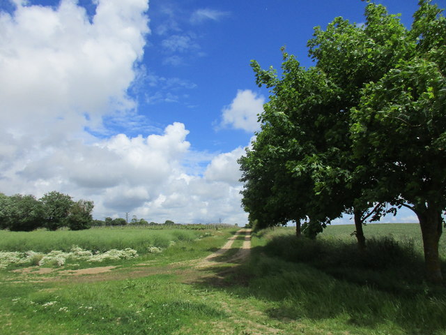
Strettington is a small village located in the Chichester district of West Sussex, England. Situated just two miles east of the city of Chichester, it enjoys a peaceful and picturesque setting, surrounded by the beautiful English countryside. The village is part of the civil parish of Westhampnett and falls within the South Downs National Park, offering residents and visitors alike ample opportunities for outdoor activities and exploration.
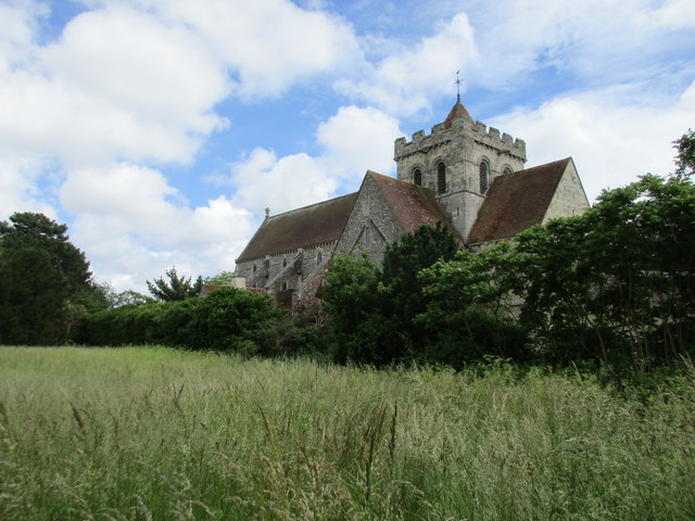
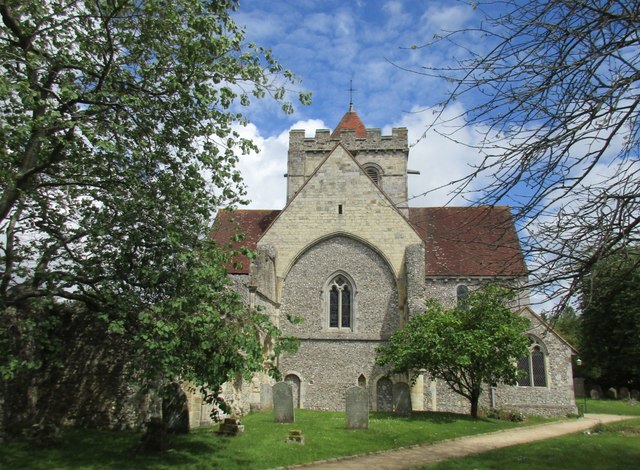
With a population of around 300 residents, Strettington maintains a close-knit community atmosphere. The village is known for its charming and well-preserved historic buildings, including a 12th-century church dedicated to St. Mary. This architectural gem is a testament to the village's rich history and has become a popular tourist attraction.
In addition to its historical significance, Strettington boasts a thriving agricultural sector, with many of its residents involved in farming and horticulture. The surrounding countryside provides fertile land for cultivation, making it an ideal location for agricultural activities.
Despite its rural setting, Strettington benefits from its proximity to Chichester, which offers a wide range of amenities and services. Residents can easily access schools, shops, restaurants, and cultural attractions, including the renowned Chichester Festival Theatre.
For those seeking a peaceful and idyllic place to live or visit, Strettington offers a quintessential English village experience. Its picturesque surroundings, strong sense of community, and rich history make it a highly desirable destination within the Sussex region.
If you have any feedback on the listing, please let us know in the comments section below.
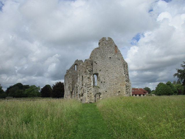
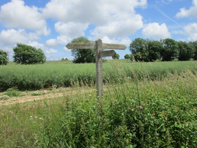
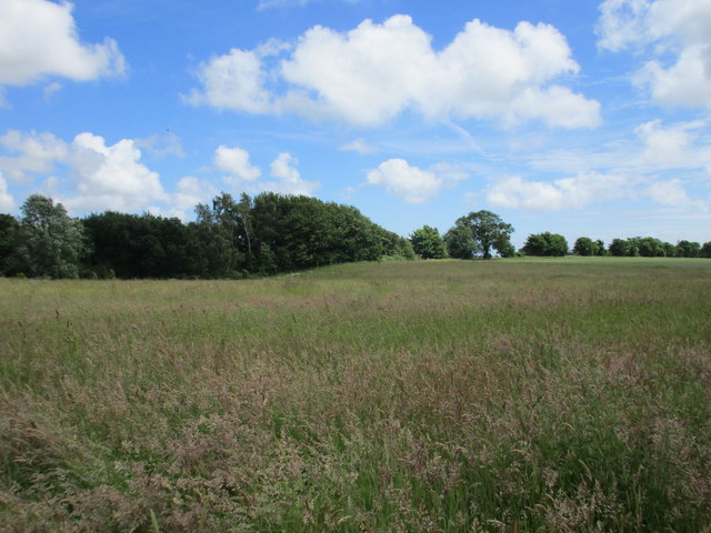
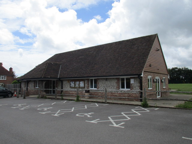
Strettington Images
Images are sourced within 2km of 50.859234/-0.731021 or Grid Reference SU8907. Thanks to Geograph Open Source API. All images are credited.


Strettington is located at Grid Ref: SU8907 (Lat: 50.859234, Lng: -0.731021)
Administrative County: West Sussex
District: Chichester
Police Authority: Sussex
What 3 Words
///taskbar.required.explained. Near Tangmere, West Sussex
Nearby Locations
Related Wikis
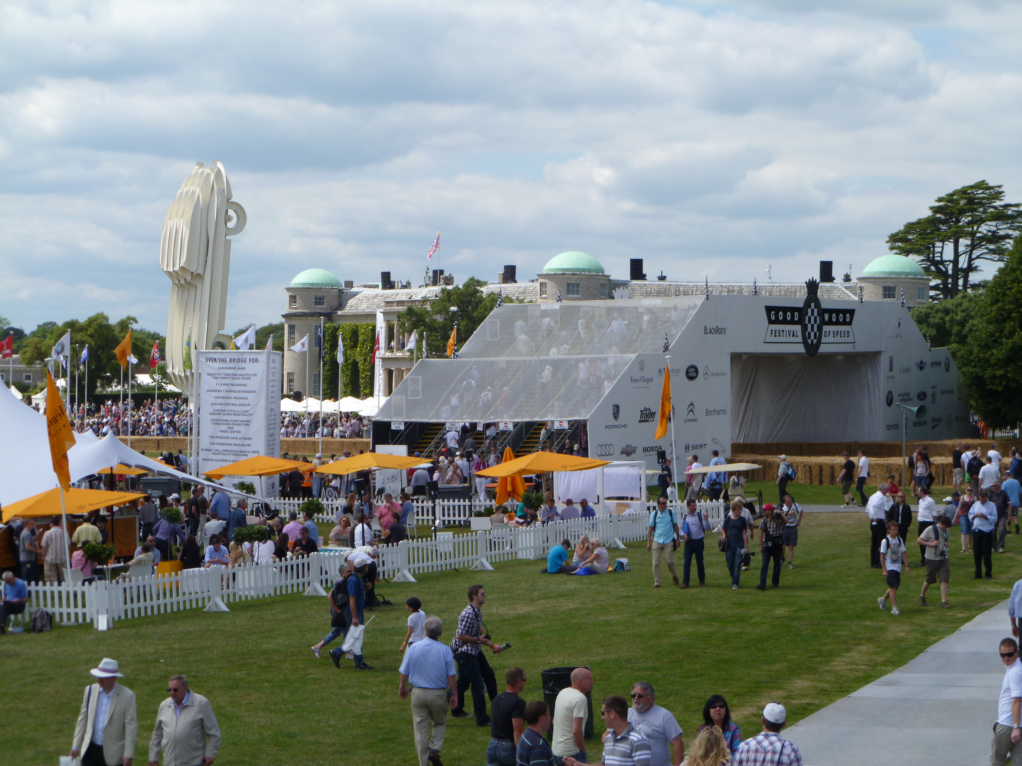
Goodwood Festival of Speed
The Goodwood Festival of Speed is an annual motorsports festival featuring modern and historic motor racing vehicles taking part in a hill climb and other...
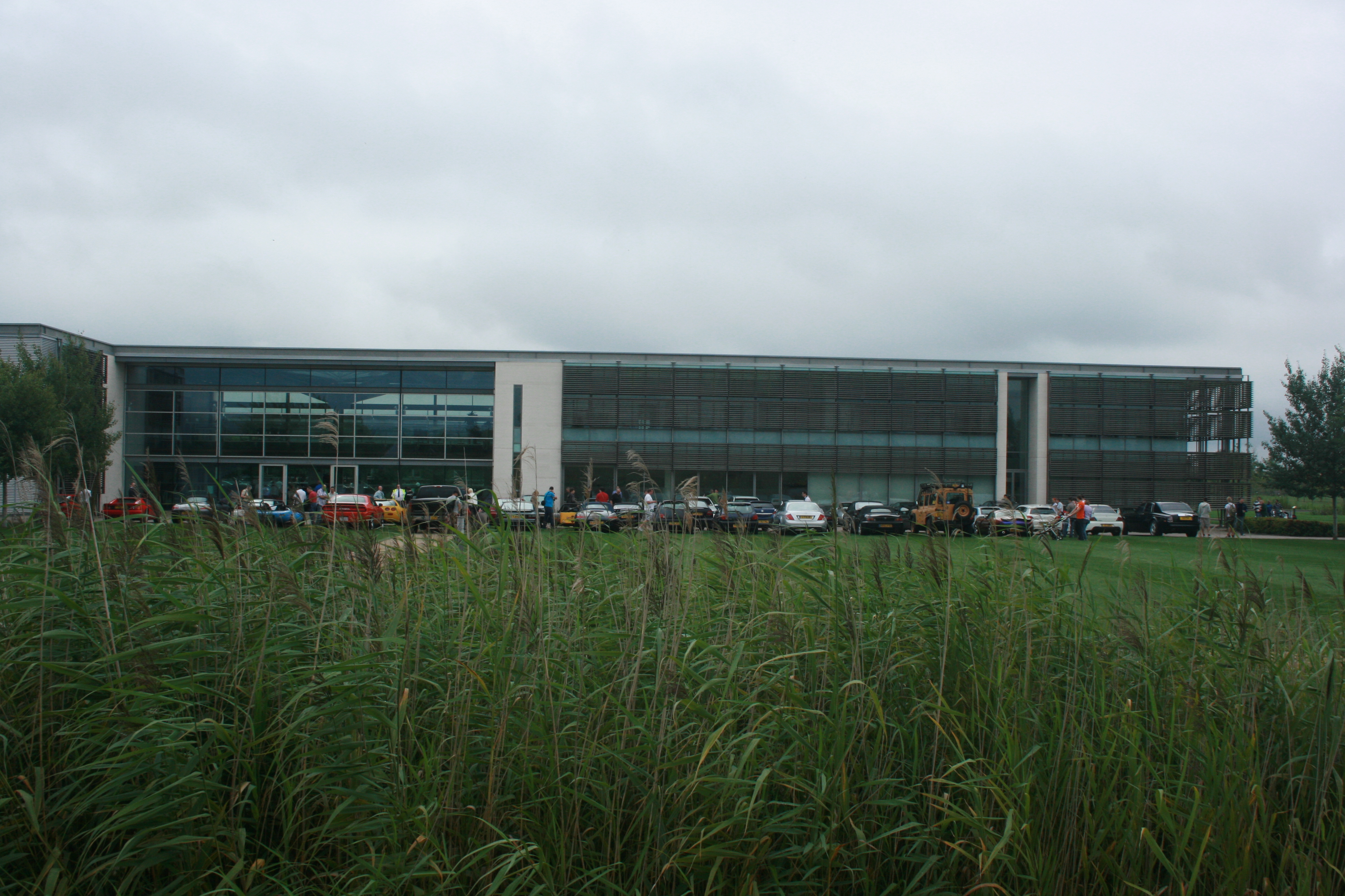
Goodwood plant
The Goodwood plant is the headquarters, design, manufacturing and assembly centre for Rolls-Royce Motor Cars. Officially opened on 1 January 2003, the...

Boxgrove
Boxgrove is a village, ecclesiastical parish and civil parish in the Chichester District of the English county of West Sussex, about 3.5 miles (5.6 km...

Tangmere
Tangmere is a village, civil parish, and electoral ward in the Chichester District of West Sussex, England. Located three miles (5 km) north east of Chichester...
Nearby Amenities
Located within 500m of 50.859234,-0.731021Have you been to Strettington?
Leave your review of Strettington below (or comments, questions and feedback).