Strensall

Settlement in Yorkshire

England

Strensall

A derelict building beside the River Foss
A derelict building beside the River Foss Credit: Ian S

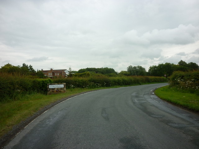
Strensall is a charming village situated in the county of Yorkshire, England. Located approximately 6 miles to the north of York, Strensall offers a peaceful and picturesque setting, surrounded by rolling countryside and woodland areas.

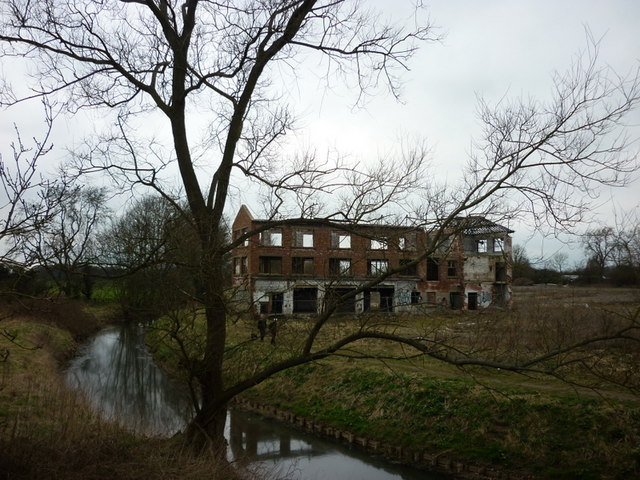
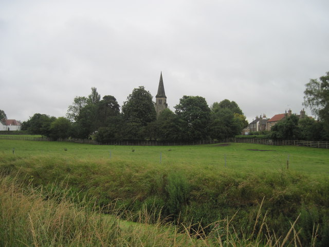
The village is known for its rich history, with evidence of human habitation dating back to the Neolithic period. It boasts several historical landmarks, including Strensall Castle, a medieval fortress that played a significant role in the region's history. The village is also home to St Mary's Church, a beautiful Grade II listed building that dates back to the 12th century.

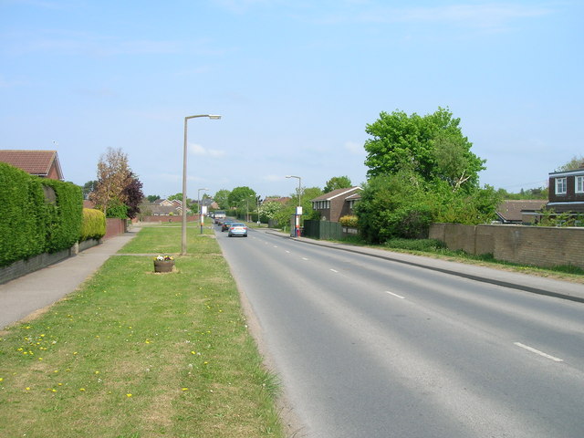
Strensall offers a range of amenities to its residents and visitors. The village has a primary school, a post office, a convenience store, and a few local pubs that serve traditional Yorkshire fare. The community spirit is strong in Strensall, with various local events and activities organized throughout the year, including the Strensall Show, an annual agricultural show that celebrates the village's rural heritage.

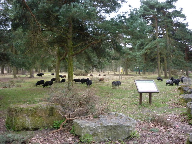
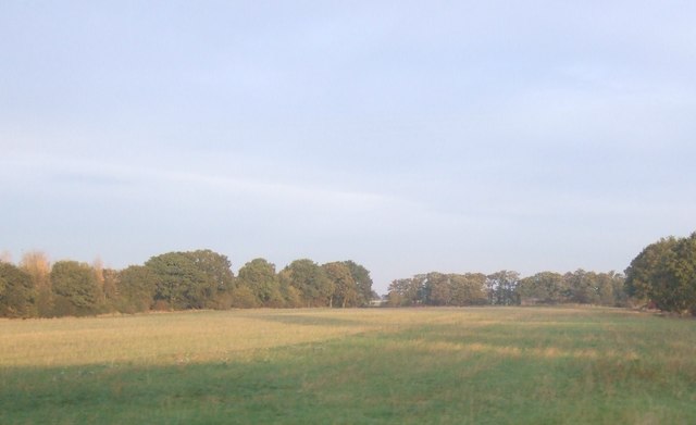
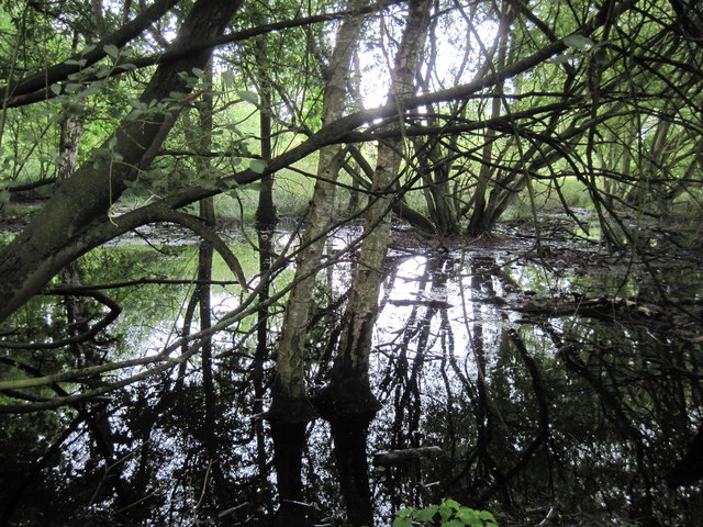
Nature lovers will appreciate the proximity of Strensall Common, a vast nature reserve located just outside the village. The common is a designated Site of Special Scientific Interest, offering an array of flora and fauna, including rare bird species. It is a popular spot for walking, wildlife observation, and picnicking.

With its idyllic setting, rich history, and close-knit community, Strensall is a delightful place to reside or visit. Its convenient location near York provides easy access to the city's amenities, while still offering a peaceful retreat away from the hustle and bustle.

If you have any feedback on the listing, please let us know in the comments section below.
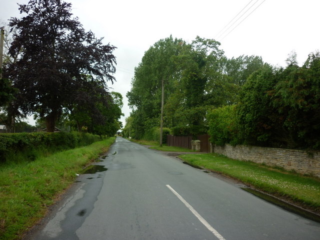
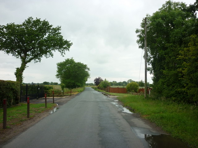
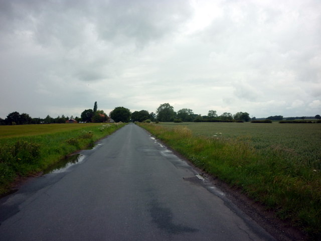
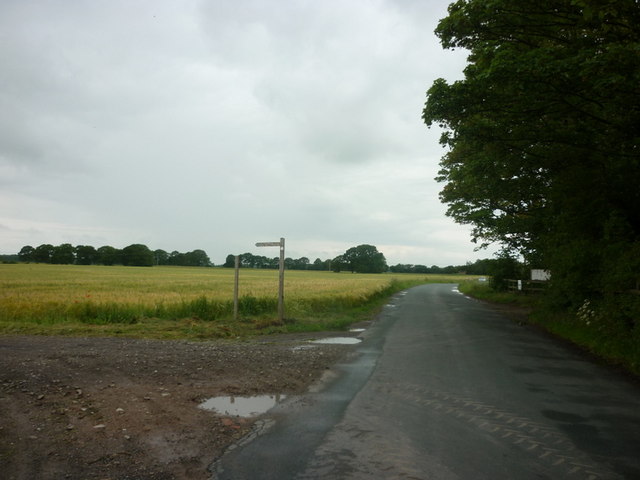
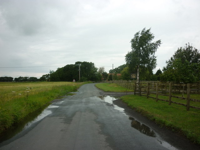
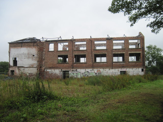
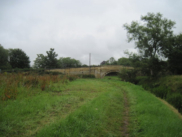
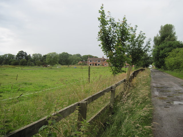
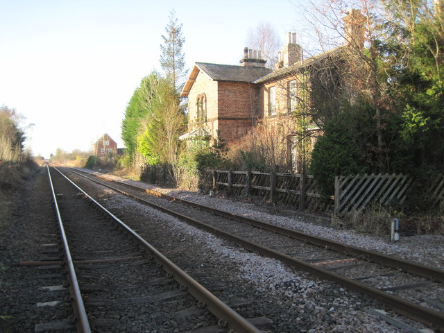
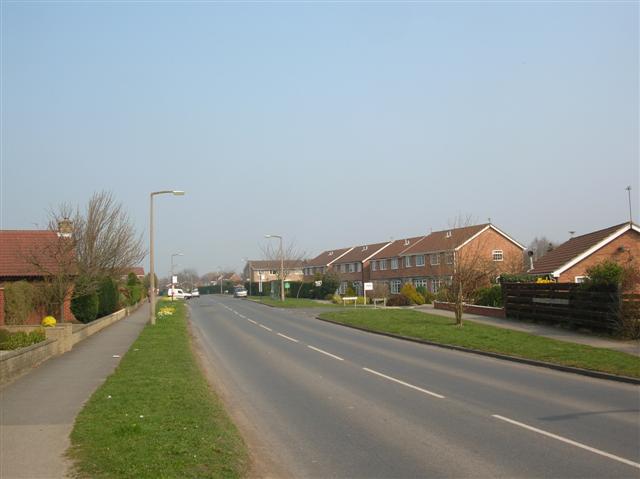
Strensall Images

Images are sourced within 2km of 54.040014/-1.035047 or Grid Reference SE6360. Thanks to Geograph Open Source API. All images are credited.

A derelict building beside the River Foss
Sheep on Strensall Training Area (Strensall Common)
York Road, Strensall heading north
Entering Strensall, north of York
Pottery Lane, north of Strensall
Pottery Lane, towards Sutton-on-the-Forest
Pottery Lane, near Oakwood Farm
A bridleway leading to Strensall, from Pottery Lane
Pottery Lane at Forest Hill Farm
Across  the  River  Foss The Foss becomes more like a field drain the further you get from York.  Across the river is the spire of Strensall Parish Church.
Across the River Foss
The Foss becomes more like a field drain the further you get from York. Across the river is the spire of Strensall Parish Church.
Not  much  left  to  Burn The old Tannery just across the bridge from Strensall village was a major employer in the 1800's but has been derelict for many years and has been the subject of three arson attacks in the last ten years.Built alongside the River Foss the Centenary Way passes between the two.
Not much left to Burn
The old Tannery just across the bridge from Strensall village was a major employer in the 1800's but has been derelict for many years and has been the subject of three arson attacks in the last ten years.Built alongside the River Foss the Centenary Way passes between the two.
Bridge  over  River  Foss It carries the  Sheriff Hutton to Strensall Road
Bridge over River Foss
It carries the Sheriff Hutton to Strensall Road
Farmland, Cowslip Hill
Caravan  Park  and  Railway The Scarborough to York line passing Moorside Caravan Park.
Caravan Park and Railway
The Scarborough to York line passing Moorside Caravan Park.
Sunshine  and  Shadows Beck Wood as its name suggests is a very wet wood, from the track through the wood to Walbutts Farm.
Sunshine and Shadows
Beck Wood as its name suggests is a very wet wood, from the track through the wood to Walbutts Farm.
Track  through  Beck  Wood
Track through Beck Wood
Track  to  Walbutts  Farm
Track to Walbutts Farm
Strensall railway station (site), Yorkshire Opened in 1845 by the York & North Midland Railway, later part of the North Eastern Railway, on its line from Scarborough to York. This station closed to passengers in 1930. 
View south west towards Strensall Halt and York. The York-bound platform was to the left. The Scarborough-bound platform was behind the camera position, as was a small coal yard and sidings for the Brecks Lane brick and tile works.
Strensall railway station (site), Yorkshire
Opened in 1845 by the York & North Midland Railway, later part of the North Eastern Railway, on its line from Scarborough to York. This station closed to passengers in 1930. View south west towards Strensall Halt and York. The York-bound platform was to the left. The Scarborough-bound platform was behind the camera position, as was a small coal yard and sidings for the Brecks Lane brick and tile works.
Show me another place!

Strensall is located at Grid Ref: SE6360 (Lat: 54.040014, Lng: -1.035047)

Division: North Riding

Unitary Authority: York

Police Authority: North Yorkshire

What 3 Words

///reassured.townhouse.layered. Near Strensall, North Yorkshire

Related Wikis

Strensall

Strensall is a village in the Strensall with Towthorpe civil parish in the unitary authority of the City of York in North Yorkshire, England, on the River...

Strensall with Towthorpe

Strensall with Towthorpe is a civil parish in the unitary authority area of the City of York in North Yorkshire, England. According to the 2011 census...

Strensall Halt railway station

Strensall Halt railway station was a minor railway station serving the village of Strensall in North Yorkshire, England. It was situated on the York to...

Strensall railway station

Strensall railway station was a minor railway station serving the village of Strensall in North Yorkshire, England. == History == It is situated on the...

Related Videos

THEJORVIKPAGAN| WALKING THROUGH NATURE

Good day everyone - Here is a different type of video for you.. enjoy and come with me on a little walk through nature.. because ...

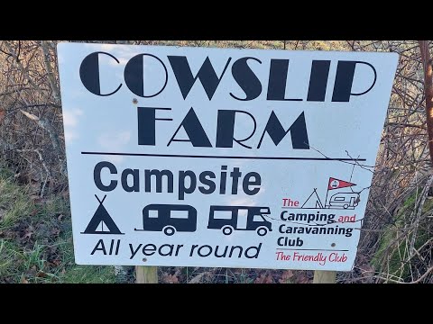
Cowslip Farm Camping and Caravanning Club Certificated Site

A short look around Cowslip Farm, Camping and Caravanning Club Certificated Site at Strensall, York.

Strensall common Lockdown walk

I feel so grateful to have this beautiful walk practically on my doorstep. Strensall Common is so peaceful and the tall yellow ...

HAXBY: York Parish #29 of 31

YORK PARISH #29: HAXBY Welcome back to York everyone. It's been a long time, but finally, the last three episodes in this series ...

Nearby Amenities

Located within 500m of 54.040014,-1.035047
Strensall
Note Population: 2001 census
Place: village
Population: 3815
Wikidata: Q2378275
Wikipedia: en:Strensall
Lat/Long: 54.0367761/-1.0380357
Bus Stop
Northfields
Bench: no
Bin: no
Bus: yes
Departures Board: timetable
Lit: yes
Public Transport: platform
Shelter: no
Tactile Paving: yes
Website: http://deps.at/?stop=32900497
Lat/Long: 54.040328/-1.0307863
Bus Stop
Middlecroft Drive
Bench: yes
Bin: yes
Bus: yes
Departures Board: realtime;timetable
Departures Board Speech Output: yes
Ele: 11
Lit: yes
Public Transport: platform
Shelter: yes
Tactile Paving: yes
Website: http://deps.at/?stop=32900493
Lat/Long: 54.0366121/-1.0385354
Bus Stop
Strensall Library
Bus: yes
Departures Board: timetable
Ele: 7
Lit: yes
Public Transport: platform
Shelter: yes
Website: http://deps.at/?stop=32900496
Lat/Long: 54.039759/-1.0359294
Description: War Memorial
Ele: 7.0953369
Historic: memorial
Memorial: war_memorial
Lat/Long: 54.0401958/-1.0323641
Bus Stop
Northfields
Bench: yes
Bin: yes
Bus: yes
Departures Board: realtime;timetable
Ele: 8
Lit: yes
Naptan AtcoCode: 3290YYA00498
Naptan NaptanCode: 32900498
Public Transport: platform
Shelter: yes
Tactile Paving: yes
Website: http://deps.at/?stop=32900498
Lat/Long: 54.0402714/-1.0300553
Turning Circle
Lat/Long: 54.0372517/-1.0393615
Turning Circle
Lat/Long: 54.0375544/-1.0398818
Turning Circle
Lat/Long: 54.0415639/-1.032443
Turning Circle
Lat/Long: 54.0380539/-1.0387045
Railway: level_crossing
Lat/Long: 54.0364845/-1.0358168
Entrance: yes
Lat/Long: 54.0389144/-1.0396958
Barrier: stile
Steps: 2
Stile: stepover
Lat/Long: 54.0415446/-1.0403738
Board Type: notice
Check Date: 2021-07-28
Information: board
Tourism: information
Lat/Long: 54.0374575/-1.0389836
Crossing Barrier: full
Railway: level_crossing
Lat/Long: 54.0365158/-1.035831
Turning Circle
Lat/Long: 54.0385434/-1.038318
Defibrillator
Booth: K6
Covered: booth
Defibrillator Location: Inside old red phone box at east end of Church Lane.
Disused Amenity: telephone
Emergency: defibrillator
Indoor: no
Man Made: telephone_box
Ref: CHT9113
Lat/Long: 54.0394727/-1.0374601
Bus Stop
Strensall Library
Bench: no
Bin: no
Bus: yes
Departures Board: timetable
Lit: yes
Public Transport: platform
Shelter: no
Tactile Paving: yes
Website: http://deps.at/?stop=32900495
Lat/Long: 54.0399011/-1.0356926
Bicycle Parking
Bicycle Parking: stands
Capacity: 4
Covered: no
Lat/Long: 54.0399924/-1.0356282
Bicycle Parking
Bicycle Parking: stands
Capacity: 6
Covered: no
Lat/Long: 54.0399104/-1.0357918
Board Type: history
Check Date: 2021-09-12
Information: board
Tourism: information
Lat/Long: 54.0394358/-1.0375191
Post Box
Check Date: 2021-09-12
Collection Times: Mo-Fr 16:45; Sa 10:45
Note: after Strensall post office closed down the pillar box got moved next to Londis by the barrack entrance and the lamp box by the barrack entrance got moved here
Post Box Type: lamp
Ref: YO32 49
Royal Cypher: EIIR
Royal Cypher Wikidata: Q33102113
Lat/Long: 54.0394862/-1.0373876
Barrier: kissing_gate
Lat/Long: 54.0415266/-1.0404769
Voles on the Foss
Board Type: wildlife
Information: board
Tourism: information
Lat/Long: 54.0411096/-1.0355765
Barrier: stile
Steps: 1
Stile: stepover
Lat/Long: 54.042095/-1.035094
Man Made: tower
Tower Type: communication
Lat/Long: 54.0423628/-1.0387769
Turning Circle
Lat/Long: 54.0386834/-1.0401162
Barrier: kissing_gate
Lat/Long: 54.0430243/-1.033896
Noexit: yes
Lat/Long: 54.0430066/-1.0319885
Turning Circle
Lat/Long: 54.0355845/-1.0363912
Crossing
Crossing: unmarked
Crossing Island: no
Kerb: flush
Tactile Paving: yes
Lat/Long: 54.0362834/-1.0383246
Crossing
Crossing: unmarked
Crossing Island: no
Kerb: flush
Tactile Paving: yes
Lat/Long: 54.0367262/-1.0388246
Turning Circle
Lat/Long: 54.0369636/-1.0373732
Turning Circle
Lat/Long: 54.0411777/-1.032983
Waterway: weir
Lat/Long: 54.0412144/-1.0374224
Strensall Halt
Historic Railway: station
Railway: site
Wikidata: Q7623273
Wikipedia: en:Strensall Halt railway station
Lat/Long: 54.0363819/-1.0361583
Man Made: water_well
Lat/Long: 54.0436142/-1.0343939
Direction West: Haxby Moor Road 3/4
Guide Type: destination
Information: guidepost
Tourism: information
Lat/Long: 54.041095/-1.0353919
Defibrillator
Defibrillator Location: In Tesco Express, The Village, Strensall - to left of entrance
Emergency: defibrillator
Indoor: yes
Lat/Long: 54.0400038/-1.0343783
Entrance: yes
Lat/Long: 54.0400108/-1.0343935
Entrance: yes
Lat/Long: 54.0411254/-1.0312432
Defibrillator
Access: yes
Defibrillator Location: outside Strensall Village Hall
Emergency: defibrillator
Indoor: no
Lat/Long: 54.0411534/-1.0312097
Bus Stop
Middlecroft Drive
Bus: yes
Departures Board: timetable
Public Transport: platform
Website: http://deps.at/?32900764
Lat/Long: 54.0362954/-1.0385841
Man Made: outfall
Lat/Long: 54.0415138/-1.0386103
Man Made: outfall
Lat/Long: 54.0413218/-1.0378419
The data included in this document is from www.openstreetmap.org. The data is made available under ODbL.

Have you been to Strensall?

Leave your review of Strensall below (or comments, questions and feedback).