Boldon
Settlement in Durham
England
Boldon
Boldon is a small village located in the county of Durham, in the northeast of England. Situated approximately five miles south-east of the city of Sunderland, it falls within the metropolitan borough of South Tyneside. With a population of around 10,000 people, it is a bustling community with a rich history.
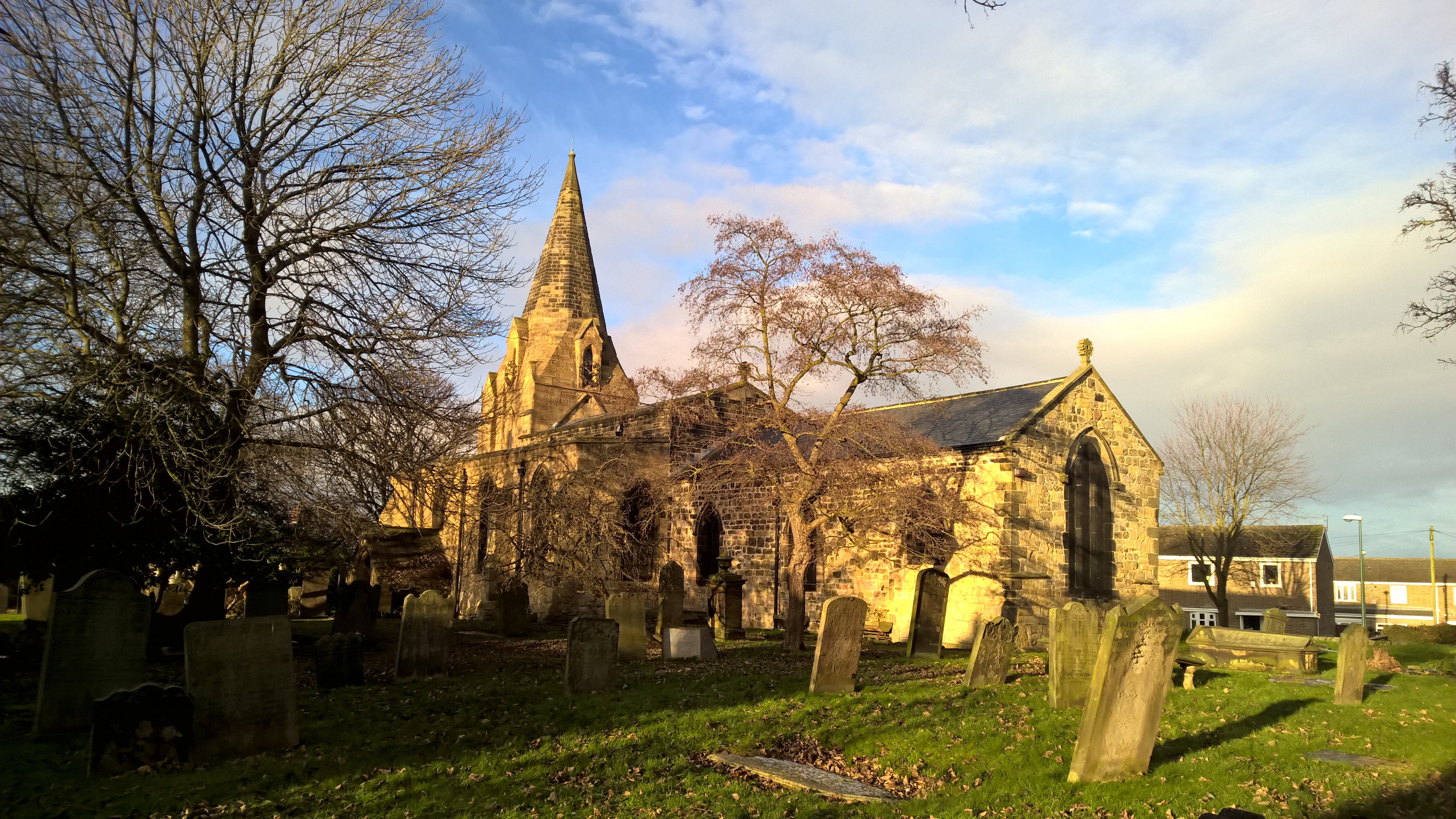
Boldon has its roots in the medieval era, and its name is derived from the Old English word “bald,” meaning bold or daring. The village is well-known for its historical significance, particularly due to the Boldon Book, a survey of the area conducted in the 12th century, which provides valuable insights into the social and economic conditions of the time.
Today, Boldon boasts a range of amenities and facilities that cater to the needs of its residents. The village center features a variety of shops, including supermarkets, local businesses, and eateries, providing convenience for everyday needs. Additionally, Boldon has several primary and secondary schools, making it an attractive place for families.
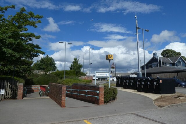
The village is also well-connected to surrounding areas, with excellent transportation links. The A19 road runs adjacent to Boldon, allowing for easy access to nearby towns and cities. Additionally, the Boldon Colliery railway station provides regular train services to destinations across the region.
For those seeking outdoor activities, Boldon is surrounded by picturesque countryside, offering opportunities for walking, hiking, and exploring nature. The village is also home to several parks and recreational areas, providing green spaces for relaxation and leisure activities.
In conclusion, Boldon is a historic village in Durham, boasting a thriving community and a range of amenities. With its rich history, convenient location, and access to nature, Boldon offers a desirable living environment for its residents.
If you have any feedback on the listing, please let us know in the comments section below.
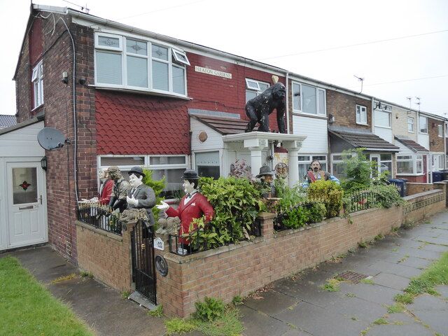
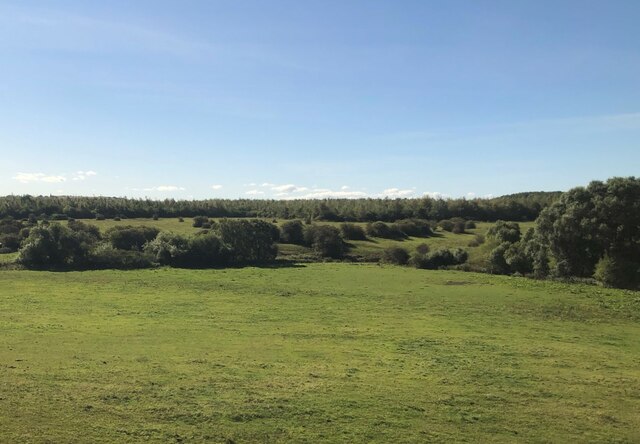
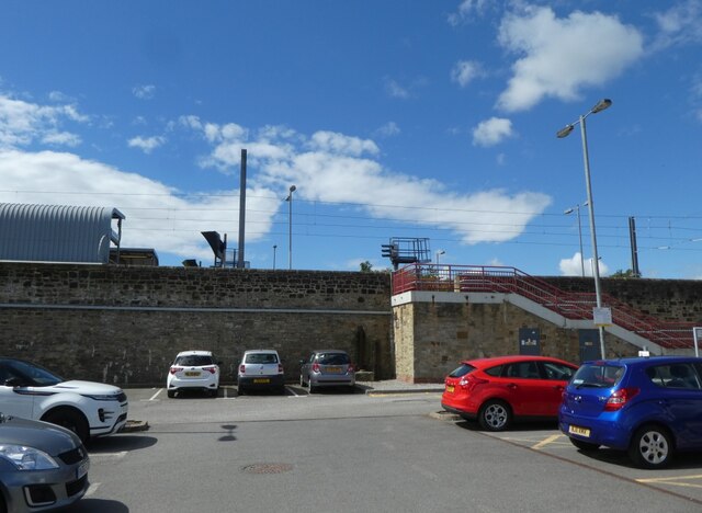
Boldon Images
Images are sourced within 2km of 54.947503/-1.4373 or Grid Reference NZ3661. Thanks to Geograph Open Source API. All images are credited.


Boldon is located at Grid Ref: NZ3661 (Lat: 54.947503, Lng: -1.4373)
Unitary Authority: South Tyneside
Police Authority: Northumbria
What 3 Words
///slices.fallen.leans. Near East Boldon, Tyne & Wear
Nearby Locations
Related Wikis
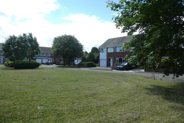
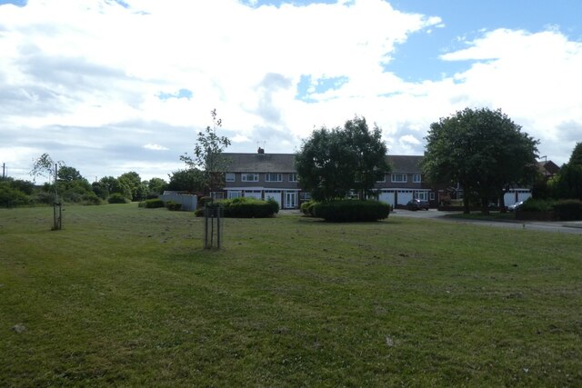
The Boldons
The Boldons is an area made up of the three villages of East Boldon, West Boldon and Boldon Colliery in South Tyneside in the county of Tyne and Wear,...

Battle of Boldon Hill
The Battle of Boldon Hill was a day-long engagement that took place in modern-day Tyne and Wear between English Royalists and an army made up of Scottish...
Boldon School
Boldon School is a coeducational secondary school located in Boldon Colliery, South Tyneside, England.A community school administered by South Tyneside...

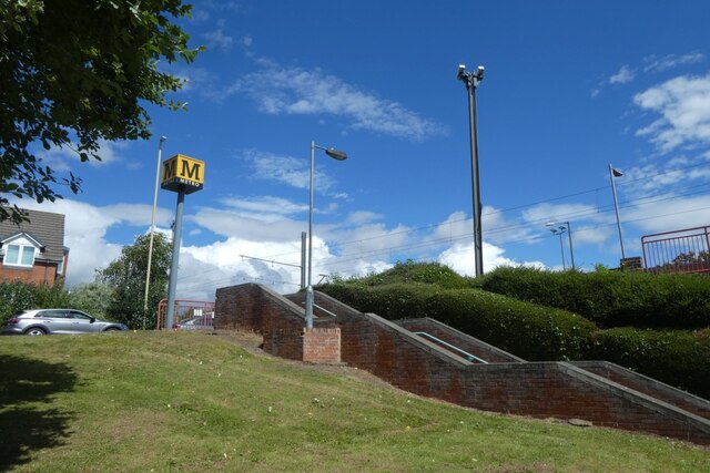
East Boldon Metro station
East Boldon is a Tyne and Wear Metro station, serving the villages of Cleadon and East Boldon, South Tyneside in Tyne and Wear, England. It joined the...
Nearby Amenities
Located within 500m of 54.947503,-1.4373Have you been to Boldon?
Leave your review of Boldon below (or comments, questions and feedback).