Stonor

Settlement in Oxfordshire South Oxfordshire

England

Stonor

Bucks and Oxon Oxfordshire on the left of the track here and Buckinghamshire on the right.
Bucks and Oxon Credit: Des Blenkinsopp

Stonor is a small village located in the county of Oxfordshire, England. Situated in the Chiltern Hills, it lies approximately four miles north of Henley-on-Thames and six miles west of High Wycombe. With a population of around 100 residents, Stonor is known for its picturesque setting and rich historical heritage.

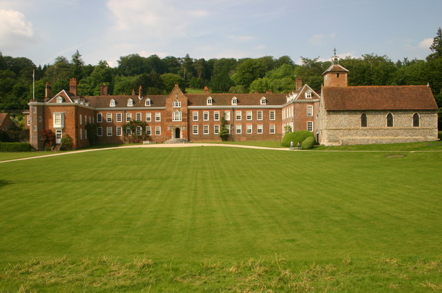
The village is famous for Stonor Park, a magnificent stately home that has been the residence of the Stonor family for over 850 years. The house, built in the 12th century, showcases a unique blend of medieval and Tudor architecture. Surrounded by beautifully landscaped gardens and a deer park, Stonor Park is open to the public during the summer months and attracts visitors from far and wide.

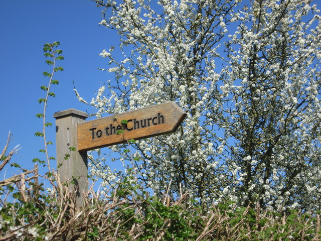
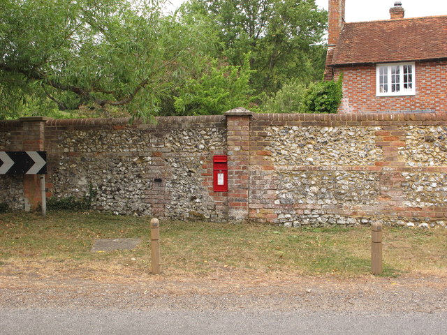
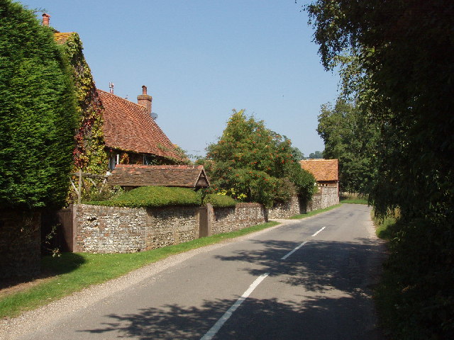
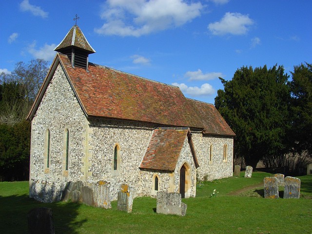
Stonor also boasts a charming 13th-century church, St. Mary's, which features stunning stained glass windows and a peaceful atmosphere. The village itself is characterized by its quaint cottages, many of which are built with traditional local flint and thatched roofs.

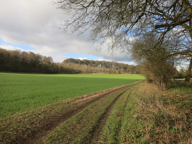
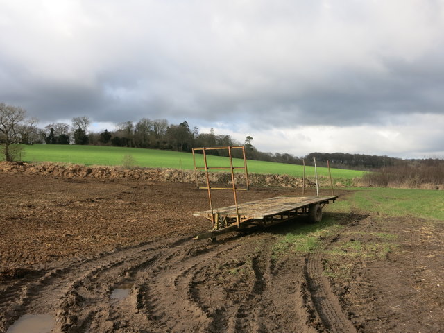
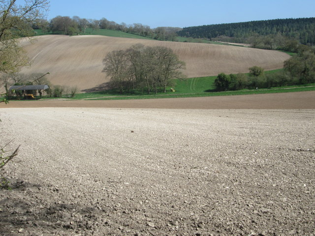
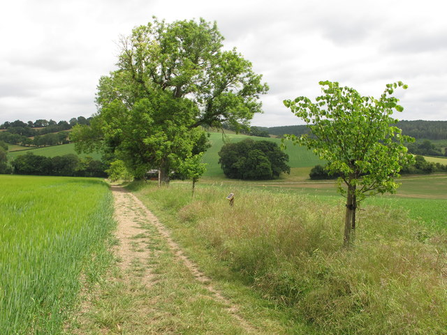
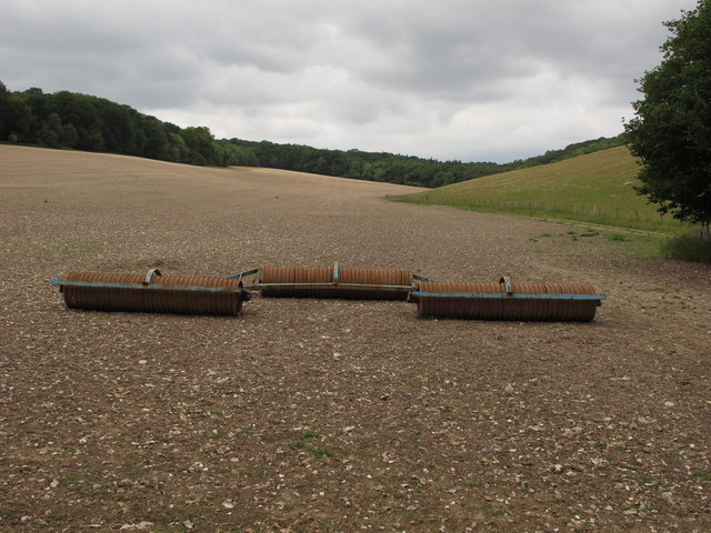
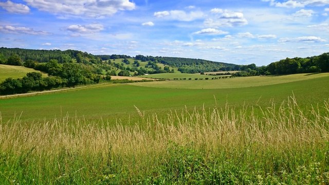
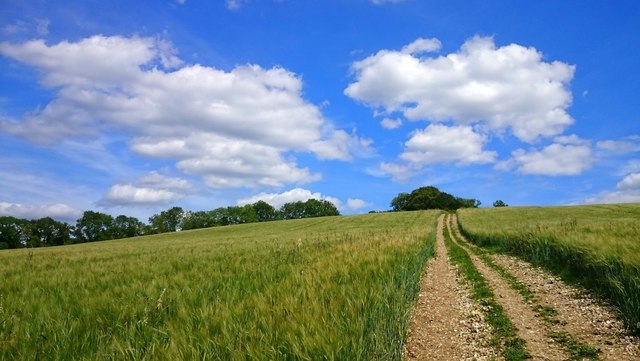
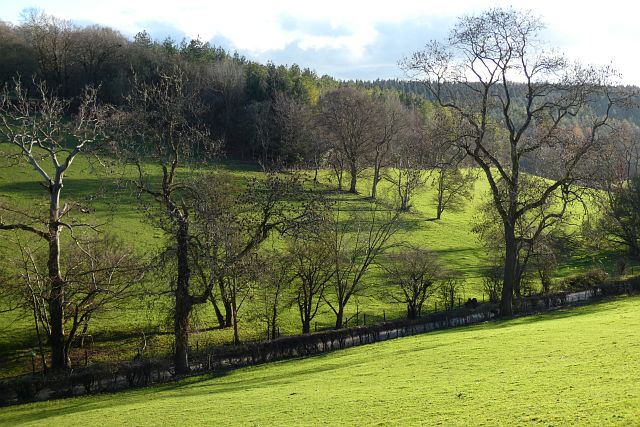
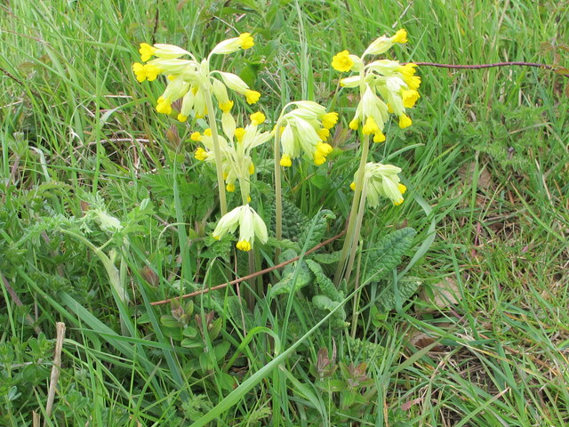
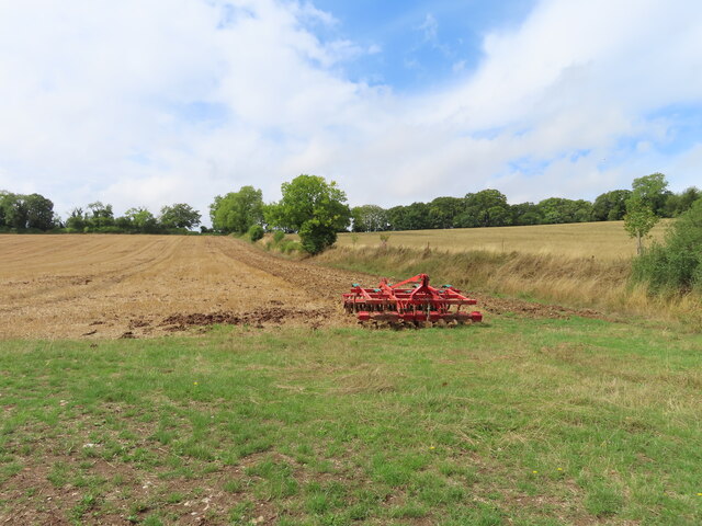
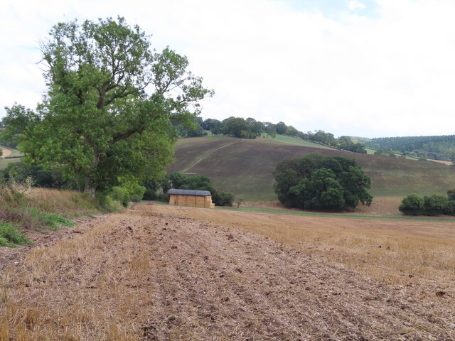
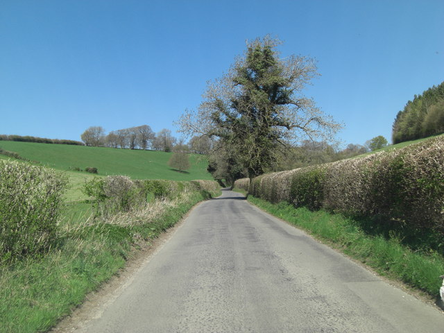
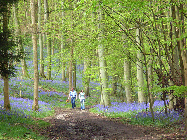
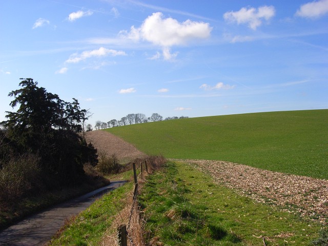
The surrounding countryside offers ample opportunities for outdoor activities, such as hiking and cycling, with numerous footpaths and bridleways to explore. The Chiltern Hills Area of Outstanding Natural Beauty provides a scenic backdrop, with rolling hills and ancient woodlands.

Although small in size, Stonor is well-connected to neighboring towns and cities. The nearby town of Henley-on-Thames offers a range of amenities, including shops, restaurants, and leisure facilities. Overall, Stonor is a hidden gem in Oxfordshire, offering a peaceful retreat for both visitors and residents alike.

If you have any feedback on the listing, please let us know in the comments section below.
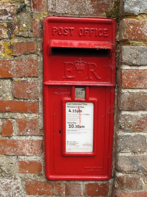
Stonor Images

Images are sourced within 2km of 51.591498/-0.939532 or Grid Reference SU7388. Thanks to Geograph Open Source API. All images are credited.

Bucks and Oxon Oxfordshire on the left of the track here and Buckinghamshire on the right.
Bucks and Oxon
Oxfordshire on the left of the track here and Buckinghamshire on the right.
Trailer in the mud This square is all farmland apart from the small area of woodland on the horizon.
Trailer in the mud
This square is all farmland apart from the small area of woodland on the horizon.
Ploughed fields from the crossroads
Sign for the church at Pishill Also the way to go if following the Oxfordshire Way.
Sign for the church at Pishill
Also the way to go if following the Oxfordshire Way.
Wall postbox, by Pishill farmhouse, on B480 road See <a href="https://www.geograph.org.uk/photo/6502680">SU7290 : EIIR wall postbox by Pishill farmhouse</a> for detail of wall popstbox.
Wall postbox, by Pishill farmhouse, on B480 road
See SU7290 : EIIR wall postbox by Pishill farmhouse for detail of wall popstbox.
EIIR wall postbox by Pishill farmhouse It is letterbox RG917, the cipher has the crown over the II between the E and the R. See <a href="https://www.geograph.org.uk/photo/6502669">SU7290 : Wall postbox, by Pishill farmhouse, on B480 road</a> for view of it across B480 road.
EIIR wall postbox by Pishill farmhouse
It is letterbox RG917, the cipher has the crown over the II between the E and the R. See SU7290 : Wall postbox, by Pishill farmhouse, on B480 road for view of it across B480 road.
Elder trees, stubble cultivator and Dutch barn The elder trees in the hedge have their bunches of white flowers. The Dutch barn is on White Pond Farm. The bridleway down to the farmhouse is beyond the hedge.
Elder trees, stubble cultivator and Dutch barn
The elder trees in the hedge have their bunches of white flowers. The Dutch barn is on White Pond Farm. The bridleway down to the farmhouse is beyond the hedge.
Jubilee Lime Walk of White Pond Farm The tree on the right and smaller trees beyond were planted in 2012 to celebrate the golden jubilee of the Stacey family at White Pond Farm; the plaque giving these details is on a post between the first two trees. The trees are beside a public footpath.
Jubilee Lime Walk of White Pond Farm
The tree on the right and smaller trees beyond were planted in 2012 to celebrate the golden jubilee of the Stacey family at White Pond Farm; the plaque giving these details is on a post between the first two trees. The trees are beside a public footpath.
Rollers on freshly cultivated stubble field The large flinty field had stubble fragments well rolled down. A public footpath is on the right of the field.
Rollers on freshly cultivated stubble field
The large flinty field had stubble fragments well rolled down. A public footpath is on the right of the field.
Valley view Looking towards Stonor Park.
Valley view
Looking towards Stonor Park.
Border country Just inside the Buckinghamshire border and looking uphill on footpath 37.
Border country
Just inside the Buckinghamshire border and looking uphill on footpath 37.
Pasture, Turville Fields either side of Balham's Lane on the descent southwards from Turville Heath.
Pasture, Turville
Fields either side of Balham's Lane on the descent southwards from Turville Heath.
Cowslips on Jubilee lime walk Beside the public footpath shown in <a href="https://www.geograph.org.uk/photo/6503633">SU7390 : Jubilee Lime Walk of White Pond Farm</a>.
Cowslips on Jubilee lime walk
Beside the public footpath shown in SU7390 : Jubilee Lime Walk of White Pond Farm.
Conservation tillage disc harrow on stubble View from dutch barn towards Hollandridge Lane.
Conservation tillage disc harrow on stubble
View from dutch barn towards Hollandridge Lane.
View from Hollandridge Lane to Balhams Farm Wheat stubble in the foreground, dutch barn full of straw bales on the track at the bottom, more arable land on the slope opposite.
View from Hollandridge Lane to Balhams Farm
Wheat stubble in the foreground, dutch barn full of straw bales on the track at the bottom, more arable land on the slope opposite.
Balham's Lane east of Balham's Wood
Barn under a Stormy Sky Old barn now in somebody's garden beside the Oxfordshire Way.
Barn under a Stormy Sky
Old barn now in somebody's garden beside the Oxfordshire Way.
Patemore Lane northwest of Bank Farm
Show me another place!

Stonor is located at Grid Ref: SU7388 (Lat: 51.591498, Lng: -0.939532)

Administrative County: Oxfordshire

District: South Oxfordshire

Police Authority: Thames Valley

What 3 Words

///headers.flood.door. Near Remenham, Berkshire

Nearby Locations

Almshill Wood Stonor

Related Wikis

Pishill with Stonor

Pishill with Stonor is a civil parish in the high Chilterns, South Oxfordshire. It includes the villages of Pishill (Ordnance Survey grid reference SU727899...

Stonor Park

Stonor Park is a historic country house and private deer park situated in a valley in the Chiltern Hills at Stonor, about four miles (6.4 km) north of...

Stonor

Stonor is a mostly cultivated and wooded village and former civil parish, now in the parish of Pishill with Stonor, in the South Oxfordshire, district...

Pishill

Pishill is a village and former civil parish, now in the parish of Pishill with Stonor, in the South Oxfordshire district, in the county of Oxfordshire...

Maidensgrove

Maidensgrove is a hamlet above the Stonor valley in the Chiltern Hills, adjacent to Russell's Water common. It is about 5 miles (8.0 km) northwest of...

Bix Bottom

Bix Bottom is a 102.3-hectare (253-acre) biological Site of Special Scientific Interest north-west of Henley-on-Thames in Oxfordshire. It is owned and...

Southend, Buckinghamshire

Southend is a hamlet, in the civil parish of Turville (where at the 2011 Census the population was included ) near to the village of the same name in Buckinghamshire...

Fawley Bottom

Fawley Bottom is a small village in south Buckinghamshire, England, north of Henley-on-Thames. It is in the civil parish of Fawley. The artist John Piper...

Nearby Amenities

Located within 500m of 51.591498,-0.939532
Stonor
Place: hamlet
Wikidata: Q9346002
Lat/Long: 51.5913651/-0.9386963
Stonor Arms PH
Naptan AtcoCode: 340000720OSA
Naptan Bearing: N
Naptan BusStopType: CUS
Naptan CommonName: Stonor Arms PH
Naptan Indicator: Opposite
Naptan Landmark: Opp Bus Shelter
Naptan NaptanCode: oxfgjwta
Naptan Street: B480
Naptan Verified: no
Source: naptan_import
Lat/Long: 51.5895281/-0.9397892
Stonor Arms PH
Naptan AtcoCode: 340000720SA
Naptan Bearing: S
Naptan BusStopType: CUS
Naptan CommonName: Stonor Arms PH
Naptan Indicator: Outside
Naptan Landmark: Bus Shelter
Naptan NaptanCode: oxfapadg
Naptan Street: B480
Naptan Verified: no
Source: naptan_import
Lat/Long: 51.5895978/-0.9395422
Barrier: kissing_gate
Foot: yes
Lat/Long: 51.5917916/-0.9385772
Barrier: kissing_gate
Foot: yes
Lat/Long: 51.5918256/-0.9415867
Barrier: stile
Foot: yes
Material: wood
Stile: stepover
Lat/Long: 51.5890977/-0.9401098
Barrier: stile
Lat/Long: 51.588894/-0.9387811
Power: pole
Source: Bing
Lat/Long: 51.5876247/-0.9394009
Power: pole
Source: Bing
Lat/Long: 51.5878747/-0.9432712
Power: pole
Source: Bing
Lat/Long: 51.5875254/-0.9379085
Power: pole
Source: Bing
Lat/Long: 51.5877855/-0.9415833
Post Box
Operator: Royal Mail
Post Box Type: lamp
Ref: RG9 67
Royal Cypher: EIIR
Royal Cypher Wikidata: Q33102113
Source: survey
Lat/Long: 51.5904728/-0.9389312
Telephone
Booth: KX100
Covered: booth
Operator: BT
Source: survey
Lat/Long: 51.5904857/-0.9389227
Shop: deli
Lat/Long: 51.5908733/-0.9381148
Barrier: kissing_gate
Foot: yes
Lat/Long: 51.5947195/-0.9376529
The data included in this document is from www.openstreetmap.org. The data is made available under ODbL.

Have you been to Stonor?

Leave your review of Stonor below (or comments, questions and feedback).