Almshill Wood
Wood, Forest in Oxfordshire South Oxfordshire
England
Almshill Wood
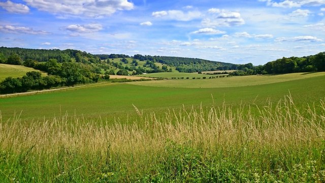
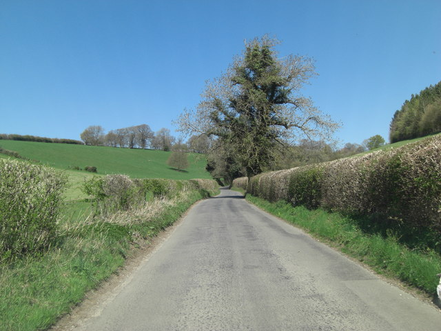
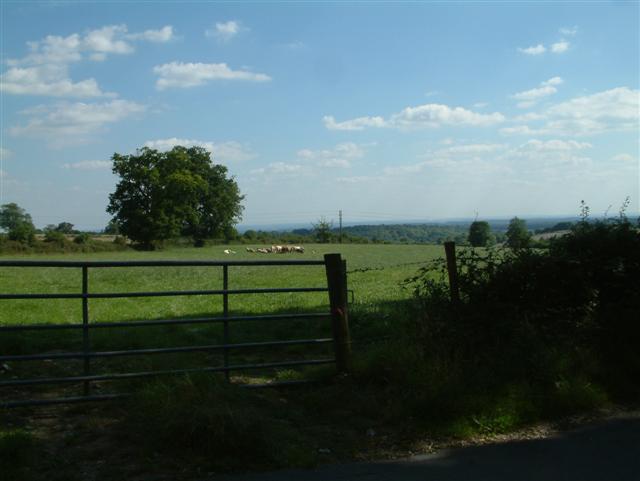
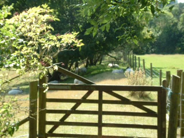
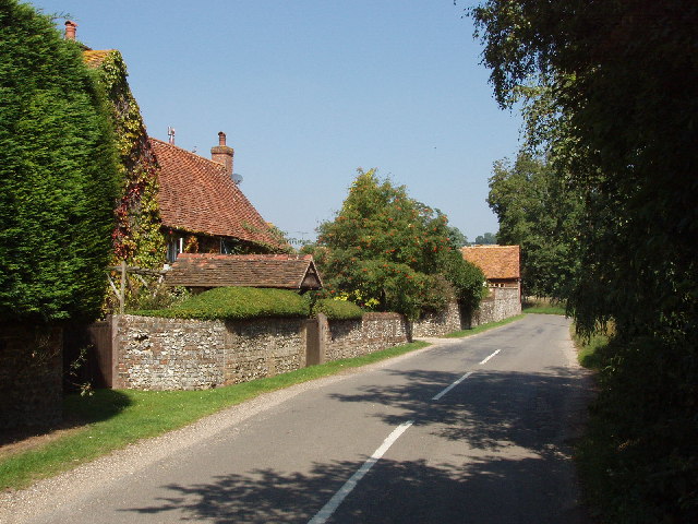
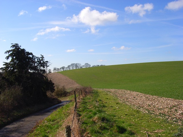
Almshill Wood is a picturesque woodland located in Oxfordshire, England. Covering an area of approximately 50 acres, it is a popular destination for nature lovers and outdoor enthusiasts alike.
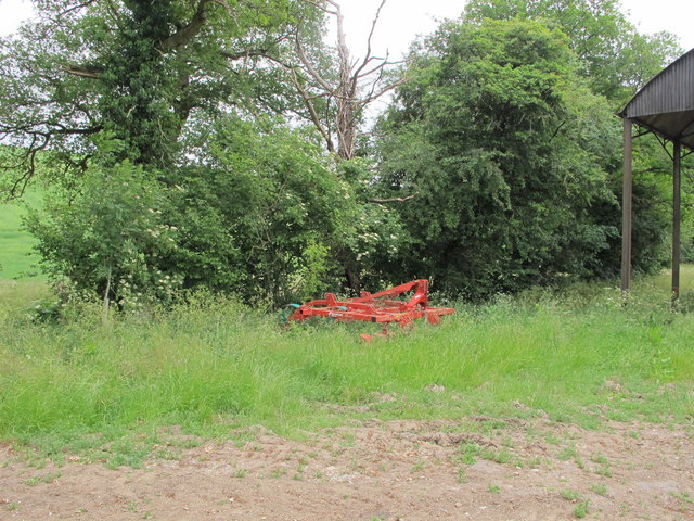
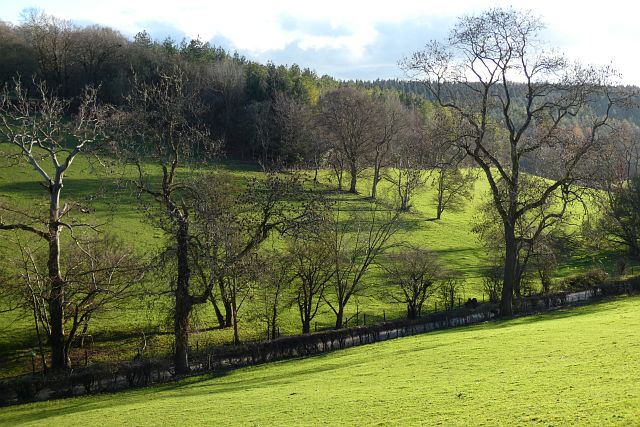
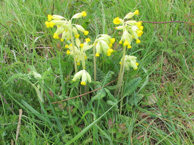
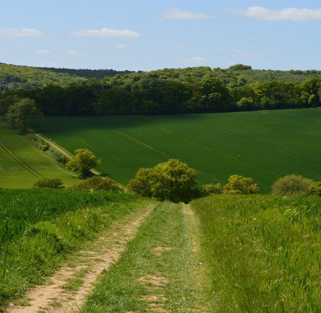
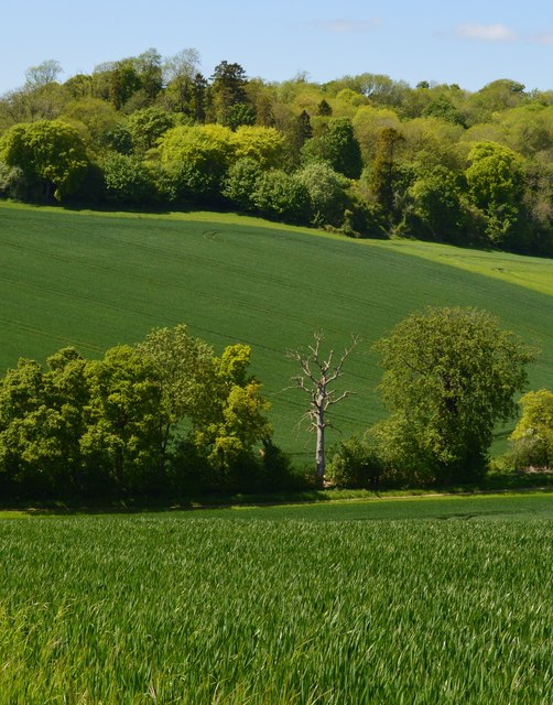
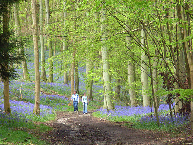
The wood is characterized by its dense canopy of trees, predominantly consisting of oak, beech, and ash. These towering trees provide ample shade and create a tranquil atmosphere throughout the wood. The forest floor is covered in a rich carpet of moss, ferns, and wildflowers, adding to the wood's natural beauty.
Almshill Wood is home to a diverse range of wildlife, making it a haven for nature enthusiasts. Numerous bird species, including woodpeckers and owls, can be spotted amongst the trees, while small mammals like squirrels and rabbits scurry through the undergrowth. The wood is also home to a variety of insects, such as butterflies and beetles, further enhancing its biodiversity.
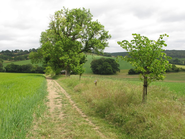
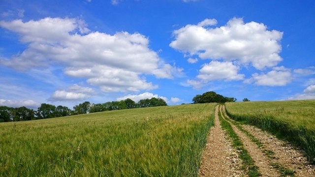
Visitors to Almshill Wood can enjoy a network of well-maintained footpaths and trails that wind through the forest, providing opportunities for leisurely walks and peaceful contemplation. The wood's accessibility and tranquil setting make it a popular spot for families, dog walkers, and photographers.
Throughout the year, Almshill Wood undergoes seasonal changes, offering visitors a different experience with each visit. In spring, the wood bursts into life with vibrant blossoms and emerging foliage, while autumn brings a stunning display of golden hues as the leaves change color.
Overall, Almshill Wood in Oxfordshire is a delightful natural haven, offering a peaceful retreat for those seeking solace in nature's embrace.
If you have any feedback on the listing, please let us know in the comments section below.
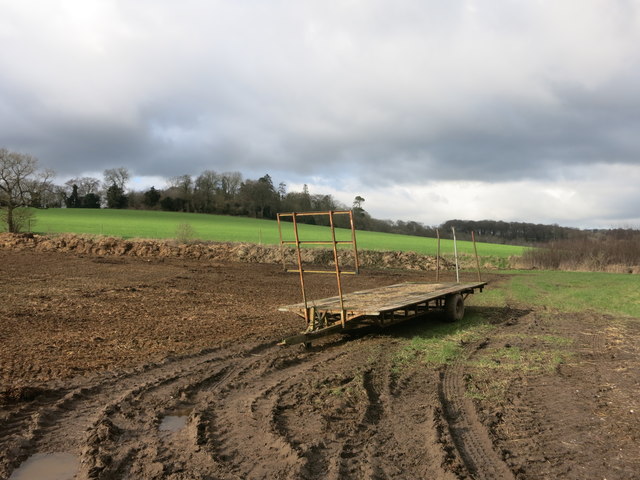
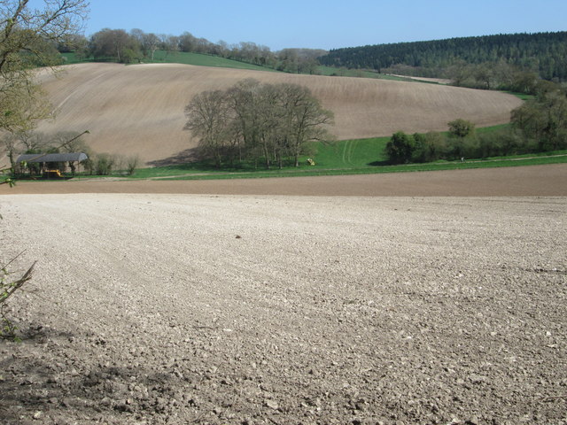
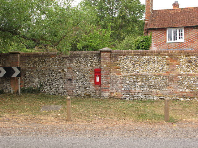
Almshill Wood Images
Images are sourced within 2km of 51.590189/-0.93350502 or Grid Reference SU7388. Thanks to Geograph Open Source API. All images are credited.
Almshill Wood is located at Grid Ref: SU7388 (Lat: 51.590189, Lng: -0.93350502)
Administrative County: Oxfordshire
District: South Oxfordshire
Police Authority: Thames Valley
What 3 Words
///litigate.drainage.zones. Near Remenham, Berkshire
Nearby Locations
Related Wikis
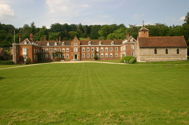
Stonor Park
Stonor Park is a historic country house and private deer park situated in a valley in the Chiltern Hills at Stonor, about four miles (6.4 km) north of...
Pishill with Stonor
Pishill with Stonor is a civil parish in the high Chilterns, South Oxfordshire. It includes the villages of Pishill (Ordnance Survey grid reference SU727899...
Stonor
Stonor is a mostly cultivated and wooded village and former civil parish, now in the parish of Pishill with Stonor, in the South Oxfordshire, district...
Pishill
Pishill is a village and former civil parish, now in the parish of Pishill with Stonor, in the South Oxfordshire district, in the county of Oxfordshire...

Southend, Buckinghamshire
Southend is a hamlet, in the civil parish of Turville (where at the 2011 Census the population was included ) near to the village of the same name in Buckinghamshire...
Fawley Bottom
Fawley Bottom is a small village in south Buckinghamshire, England, north of Henley-on-Thames. It is in the civil parish of Fawley. The artist John Piper...

Maidensgrove
Maidensgrove is a hamlet above the Stonor valley in the Chiltern Hills, adjacent to Russell's Water common. It is about 5 miles (8.0 km) northwest of...

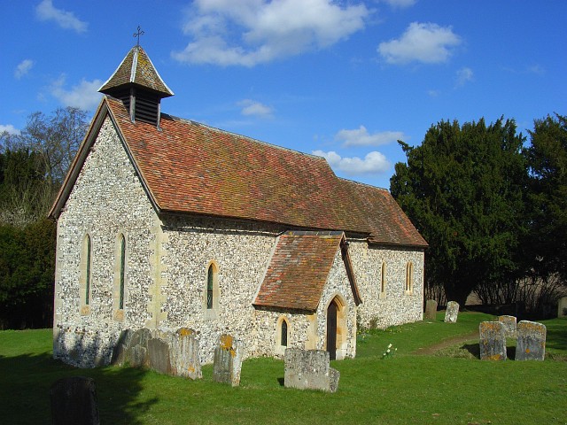
St Mary the Virgin's Church, Fawley
St Mary the Virgin's Church is in centre of the village of Fawley, Buckinghamshire, England. It is an active Anglican parish church on the deanery of Wycombe...
Nearby Amenities
Located within 500m of 51.590189,-0.93350502Have you been to Almshill Wood?
Leave your review of Almshill Wood below (or comments, questions and feedback).