Bogton

Settlement in Banffshire

Scotland

Bogton

Old Milestone by the B9025, Burnside of Carnousie, Forglen Parish By the B9025, in parish of Forglen (Aberdeen District), Burnside of Carnousie, near junction sign and commercial vehicle premises, North side of road.

Inscription reads:- : 39 : (To Aberdeen)

Surveyed

Milestone Society National ID: AD_TRAC39
Old Milestone by the B9025, Burnside of Carnousie, Forglen Parish Credit: Milestone Society

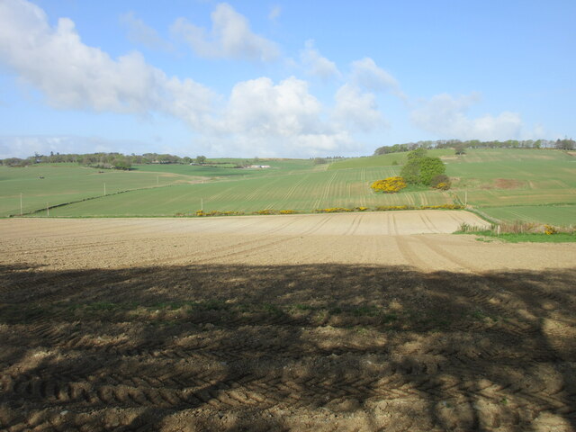
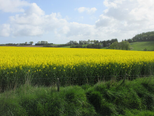
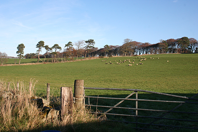
Bogton is a small village located in the county of Banffshire, Scotland. Situated in the northeast region of the country, Bogton lies approximately 7 miles west of the town of Banff. The village is nestled amidst picturesque countryside, with rolling hills and beautiful landscapes that make it an appealing destination for nature enthusiasts.

With a population of around 300 residents, Bogton is known for its tight-knit community and friendly atmosphere. The village features a few local amenities, including a small grocery store, a post office, and a primary school, ensuring that residents have access to essential services.

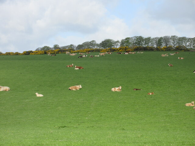
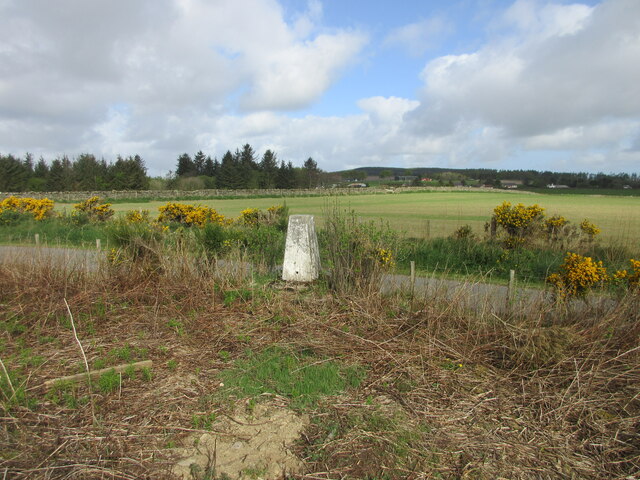
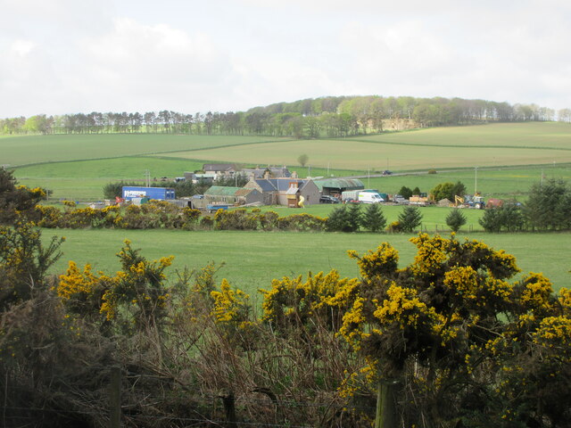
Historically, Bogton was primarily an agricultural community, with farming being the main occupation for many of its inhabitants. However, in recent years, there has been a shift towards more diverse economic activities, including tourism and small-scale industries. The village attracts visitors with its tranquil surroundings and opportunities for outdoor activities such as hiking, cycling, and birdwatching.

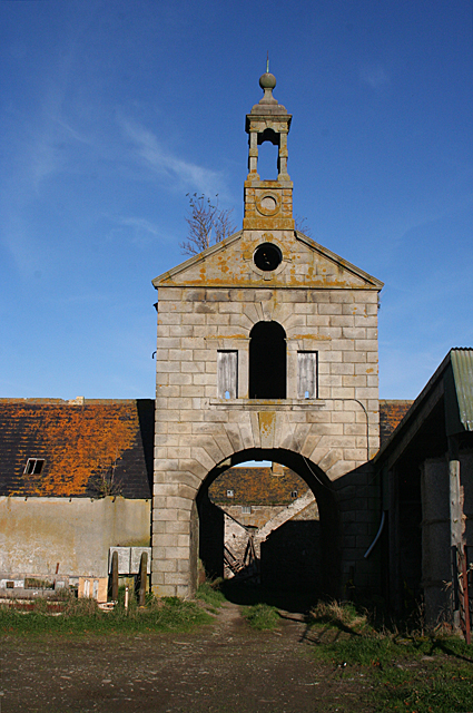
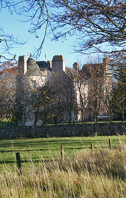
Bogton is also rich in Scottish heritage, with several historic sites nearby. The ruins of an ancient castle can be found just outside the village, providing a glimpse into the region's past. Additionally, the area is known for its traditional Scottish festivals and events, which celebrate the local culture and traditions.

Overall, Bogton offers a peaceful and close-knit community in a scenic countryside setting, making it an attractive destination for those seeking a slower pace of life and a connection to nature.

If you have any feedback on the listing, please let us know in the comments section below.
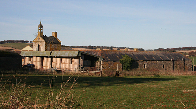
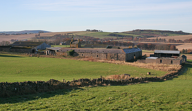
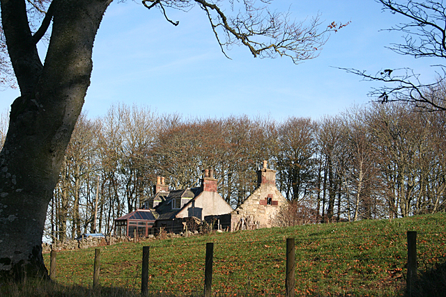
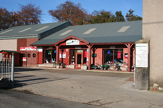
Bogton Images

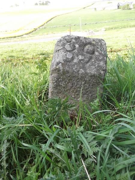
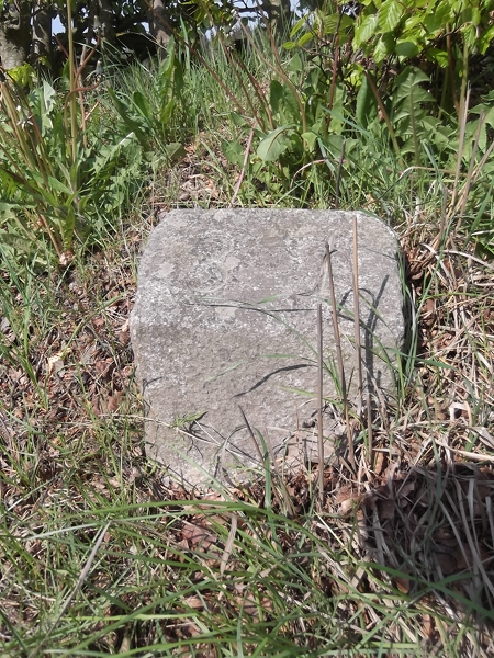
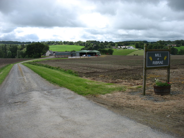
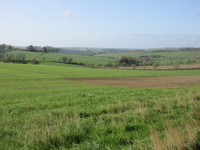
Images are sourced within 2km of 57.552905/-2.541803 or Grid Reference NJ6751. Thanks to Geograph Open Source API. All images are credited.

Old Milestone by the B9025, Burnside of Carnousie, Forglen Parish By the B9025, in parish of Forglen (Aberdeen District), Burnside of Carnousie, near junction sign and commercial vehicle premises, North side of road.

Inscription reads:- : 39 : (To Aberdeen)

Surveyed

Milestone Society National ID: AD_TRAC39
Old Milestone by the B9025, Burnside of Carnousie, Forglen Parish
By the B9025, in parish of Forglen (Aberdeen District), Burnside of Carnousie, near junction sign and commercial vehicle premises, North side of road. Inscription reads:- : 39 : (To Aberdeen) Surveyed Milestone Society National ID: AD_TRAC39
Old Milestone by the B9025, west of Turriff Milestone by the B9025, in parish of Forglen (Aberdeen District), opposite lane to Meikle Ribrae, near derelict wooden bus shelter.

Inscription reads:-
37
(To Aberdeen)

Surveyed

Milestone Society National ID: AD_TRAC37
Old Milestone by the B9025, west of Turriff
Milestone by the B9025, in parish of Forglen (Aberdeen District), opposite lane to Meikle Ribrae, near derelict wooden bus shelter. Inscription reads:- 37 (To Aberdeen) Surveyed Milestone Society National ID: AD_TRAC37
Mill of Ribrae farm
Mill of Ribrae farm
Fields near Carnousie Looking southwards over countryside near Carnousie.
Fields near Carnousie
Looking southwards over countryside near Carnousie.
Aberdeenshire countryside Looking west over fields near Craiglug.
Aberdeenshire countryside
Looking west over fields near Craiglug.
C29L (Aberdeenshire) Road at Bogton The C29L road heading south-west through the hamlet of Bogton.
C29L (Aberdeenshire) Road at Bogton
The C29L road heading south-west through the hamlet of Bogton.
Road to Mill of Ribrae Roadway heading to the Mill of Ribrae past a pond.
Road to Mill of Ribrae
Roadway heading to the Mill of Ribrae past a pond.
Lounging cattle Cattle on the eastern slope of the Hill of Scotston.
Lounging cattle
Cattle on the eastern slope of the Hill of Scotston.
Hillhead of Mountblairy Trig Pillar The roadside triangulation pillar near the Hillhead of Mountblairy, looking north-westwards from inside the fence.
Hillhead of Mountblairy Trig Pillar
The roadside triangulation pillar near the Hillhead of Mountblairy, looking north-westwards from inside the fence.
Bridgend from the north-east Looking south-west to Bridgend by the B9025.
Bridgend from the north-east
Looking south-west to Bridgend by the B9025.
Oil-seed rape near Brownside Looking east to a field of oil-seed rape near Brownside.
Oil-seed rape near Brownside
Looking east to a field of oil-seed rape near Brownside.
White Hill Looking towards the hill from just outside the steading at Mains of Carnousie.
White Hill
Looking towards the hill from just outside the steading at Mains of Carnousie.
Mains of Carnousie The steading here is exceptionally fine, built in a square with arches to north and south. This is the decorative tower above the south arch. Sadly, the whole steading appears to be disused.
Mains of Carnousie
The steading here is exceptionally fine, built in a square with arches to north and south. This is the decorative tower above the south arch. Sadly, the whole steading appears to be disused.
Carnousie Castle Nigel Tranter, describing Carnousie in 1970, lamented the fact that the building was abandoned and had deteriorated sadly, part of it being used as a piggery. Since then it has been fully restored as an inhabited house, though the screen of trees makes it difficult to appreciate its features. It was probably built by Walter Ogilvy of Carnousie, because he sold his newly constructed fortalice in 1583 to his brother Ogilvy of Dunlugas. It was subsequently sold to the Gordons of Park. It is a Z-plan, with a circular tower to the north-west of the main block and a square tower to the south-east.
Carnousie Castle
Nigel Tranter, describing Carnousie in 1970, lamented the fact that the building was abandoned and had deteriorated sadly, part of it being used as a piggery. Since then it has been fully restored as an inhabited house, though the screen of trees makes it difficult to appreciate its features. It was probably built by Walter Ogilvy of Carnousie, because he sold his newly constructed fortalice in 1583 to his brother Ogilvy of Dunlugas. It was subsequently sold to the Gordons of Park. It is a Z-plan, with a circular tower to the north-west of the main block and a square tower to the south-east.
Mains of Carnousie The steading here is exceptionally fine, built in a square with arches to north and south, the latter crowned with an elaborate tower. The south elevation is largely obscured by a modern lean-to for storing straw, but the east elevation gives an idea of how it originally appeared.
Mains of Carnousie
The steading here is exceptionally fine, built in a square with arches to north and south, the latter crowned with an elaborate tower. The south elevation is largely obscured by a modern lean-to for storing straw, but the east elevation gives an idea of how it originally appeared.
Mains of Carnousie From here you can see the square of the original steading, with the roofs of additional buildings inside the square and a motley collection of modern structures outside it.
Mains of Carnousie
From here you can see the square of the original steading, with the roofs of additional buildings inside the square and a motley collection of modern structures outside it.
Cottages near White Hill One cottage in good repair, the other reduced to just its walls.
Cottages near White Hill
One cottage in good repair, the other reduced to just its walls.
Williamson's Machinery Centre This is part of a family-run enterprise which also has a garden centre, a pedal go-cart track, a tearoom and a huge indoor soft play area for children. It's not exactly on the beaten track, but is well patronised by those in the know.
Williamson's Machinery Centre
This is part of a family-run enterprise which also has a garden centre, a pedal go-cart track, a tearoom and a huge indoor soft play area for children. It's not exactly on the beaten track, but is well patronised by those in the know.
Show me another place!

Bogton is located at Grid Ref: NJ6751 (Lat: 57.552905, Lng: -2.541803)

Unitary Authority: Aberdeenshire

Police Authority: North East

What 3 Words

///metals.cookie.folks. Near Turriff, Aberdeenshire

Nearby Locations

Cairn Hill Bogton

Related Wikis

Whitehill Wood, Aberdeenshire

Whitehill Wood is a wood and megalithic stone circle in Aberdeenshire, Scotland, located off the B9025 road between Aberchirder and Turriff and between...

Bogton

Bogton is a rural area in Aberdeenshire, Scotland. To the south is Whitehill Wood and megalithic circle. == References ==
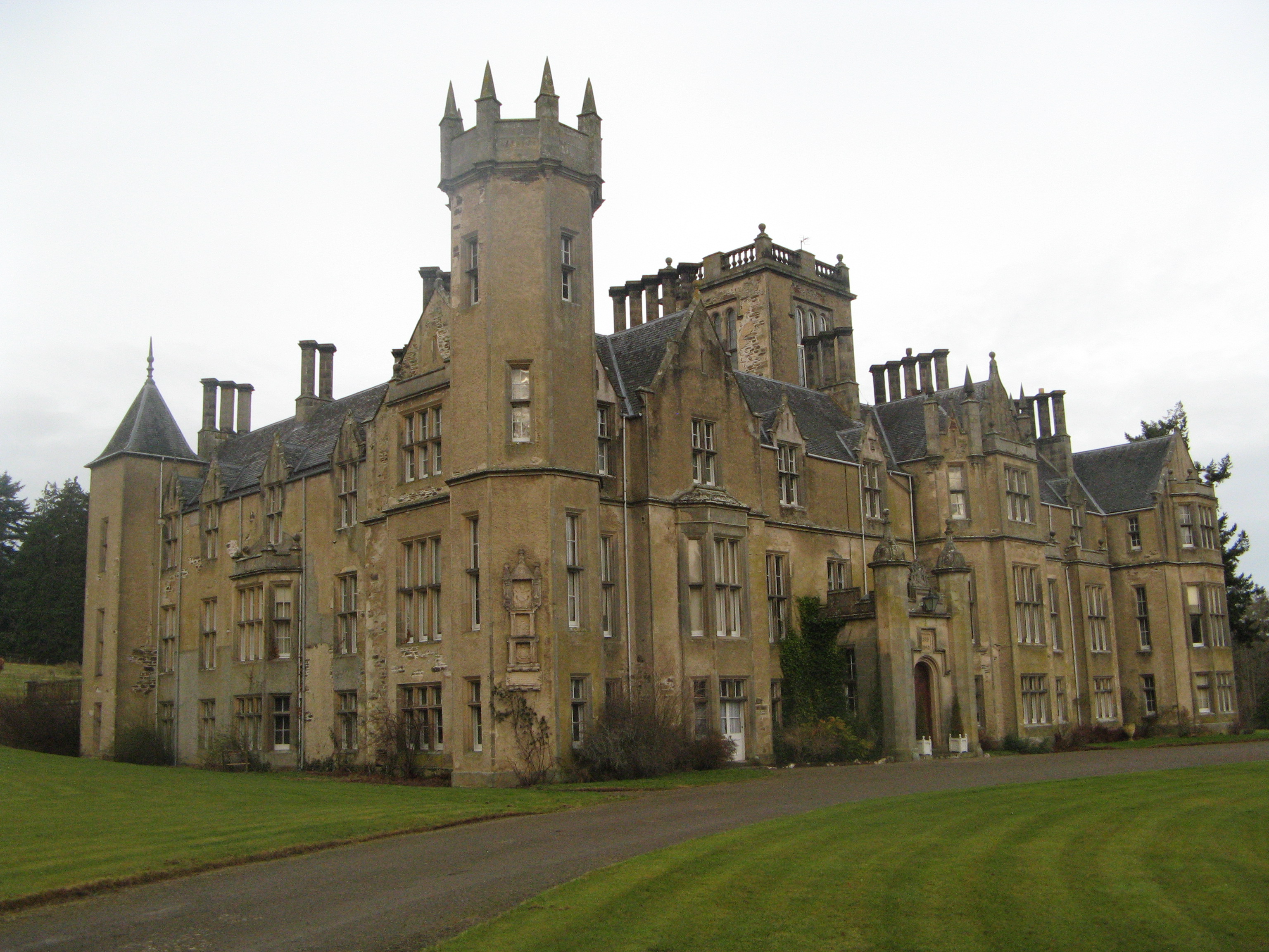
Forglen House

Forglen House is a mansion house that forms the centrepiece of the Forglen estate in the parish of Forglen, north-west of Turriff, Aberdeenshire, in the...
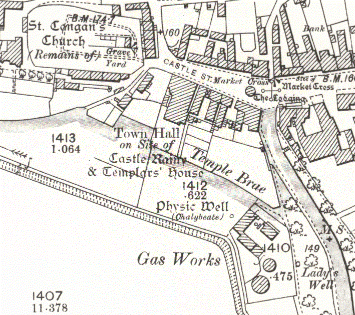
Turriff Castle

Turriff Castle was a tower house, on Castlegate, Turriff, north of Idoch Water, Aberdeenshire, Scotland. The castle was also called Tower of Torrey of...

Nearby Amenities

Located within 500m of 57.552905,-2.541803
Bogton
Place: hamlet
Lat/Long: 57.5532573/-2.5390999
Power: pole
Lat/Long: 57.5498998/-2.5478491
Power: pole
Lat/Long: 57.5494206/-2.5462666
Power: pole
Lat/Long: 57.5489298/-2.5446144
Power: pole
Lat/Long: 57.5487816/-2.5434342
Power: pole
Lat/Long: 57.5486391/-2.5421709
Power: pole
Lat/Long: 57.5484837/-2.5409183
Power: pole
Lat/Long: 57.5496355/-2.5437489
Power: pole
Lat/Long: 57.549838/-2.5427234
Power: pole
Lat/Long: 57.5500754/-2.5417042
Power: pole
Lat/Long: 57.5502783/-2.5406876
Power: pole
Lat/Long: 57.5505273/-2.5396335
Power: pole
Lat/Long: 57.5507547/-2.5385955
Power: pole
Lat/Long: 57.5526716/-2.5392674
Power: pole
Lat/Long: 57.5521363/-2.5387296
Power: pole
Lat/Long: 57.5515995/-2.5382146
Power: pole
Lat/Long: 57.5509893/-2.5375682
Power: pole
Lat/Long: 57.550477/-2.5367045
Power: pole
Lat/Long: 57.5500078/-2.5359026
Power: pole
Lat/Long: 57.5494084/-2.5448848
Power: pole
Lat/Long: 57.5494134/-2.5455903
Power: pole
Lat/Long: 57.5527517/-2.5386787
Power: pole
Lat/Long: 57.5528515/-2.5380992
Power: pole
Lat/Long: 57.5529893/-2.5375311
Power: pole
Lat/Long: 57.5531256/-2.5364069
Power: pole
Lat/Long: 57.5532694/-2.5352687
Power: pole
Lat/Long: 57.5534057/-2.5343469
Power: pole
Lat/Long: 57.5534107/-2.5338201
Power: pole
Lat/Long: 57.5529304/-2.5396231
Power: pole
Lat/Long: 57.5532164/-2.5399909
Power: pole
Lat/Long: 57.5534467/-2.5403165
Power: pole
Lat/Long: 57.5537109/-2.5405681
Power: pole
Lat/Long: 57.5543426/-2.5411823
Power: pole
Lat/Long: 57.5551064/-2.5418887
Power: pole
Lat/Long: 57.5556969/-2.5423943
Power: pole
Lat/Long: 57.5562318/-2.5428412
Power: pole
Lat/Long: 57.5568323/-2.5432762
Power: pole
Lat/Long: 57.5538839/-2.5338765
The data included in this document is from www.openstreetmap.org. The data is made available under ODbL.

Have you been to Bogton?

Leave your review of Bogton below (or comments, questions and feedback).