Stoke St Milborough

Settlement in Shropshire

England

Stoke St Milborough

Carved buzzard as a gatepost. Patient buzzard carved in to the gatepost of a field opposite Greater Postan Farm on Weston Hill.
Carved buzzard as a gatepost. Credit: Peter Evans

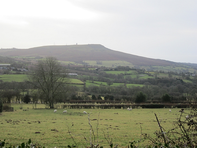
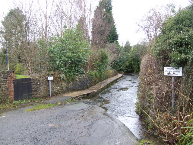
Stoke St Milborough is a small village located in Shropshire, England. It is situated approximately 5 miles south of the market town of Bridgnorth and has a population of around 200 residents. The village is known for its picturesque countryside surroundings, with rolling hills and farmland providing a peaceful and rural setting.

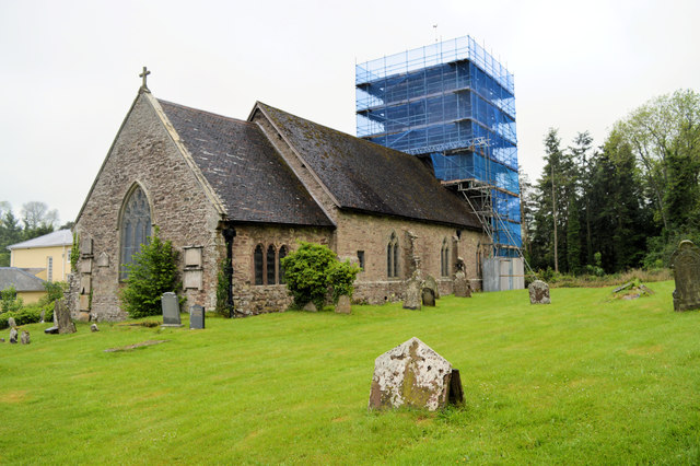
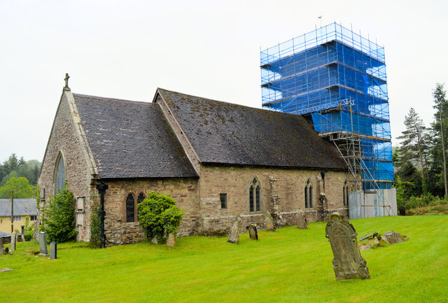
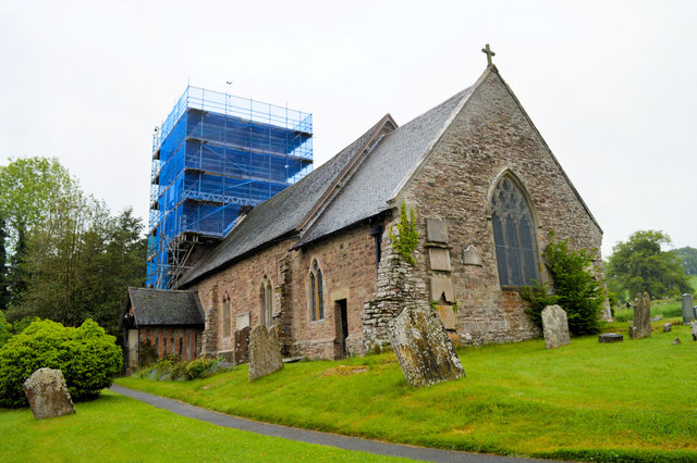
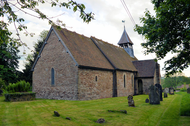
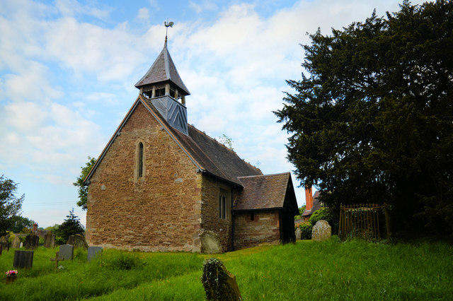
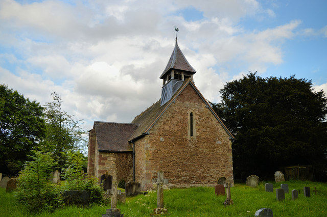
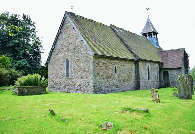
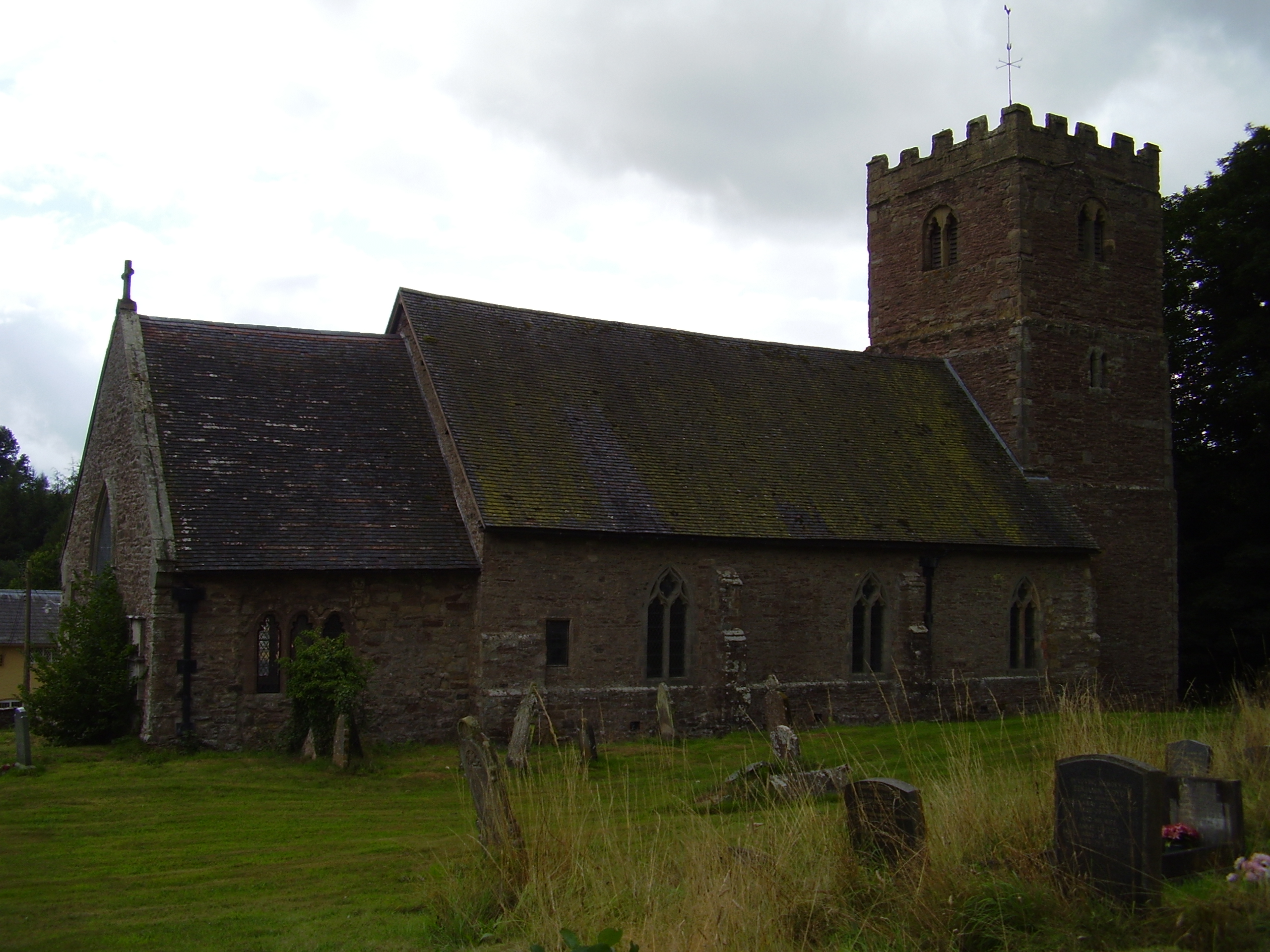
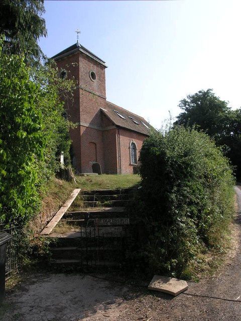
Stoke St Milborough is home to a historic church, St Milburga's Church, which dates back to the 12th century and is a Grade II listed building. The village also has a village hall, a primary school, and a pub, providing essential amenities for its residents.

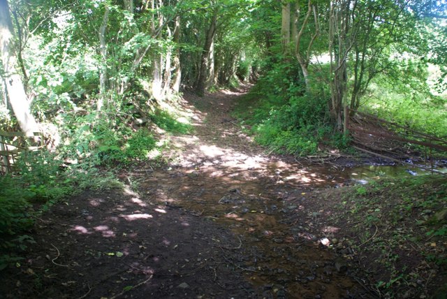
The village has a strong sense of community, with various events and activities organized throughout the year to bring residents together. There are also opportunities for outdoor recreation, with walking and cycling routes in the surrounding countryside.

Overall, Stoke St Milborough is a charming and idyllic village, offering a tranquil retreat for those looking to escape the hustle and bustle of urban life and enjoy the beauty of the Shropshire countryside.

If you have any feedback on the listing, please let us know in the comments section below.

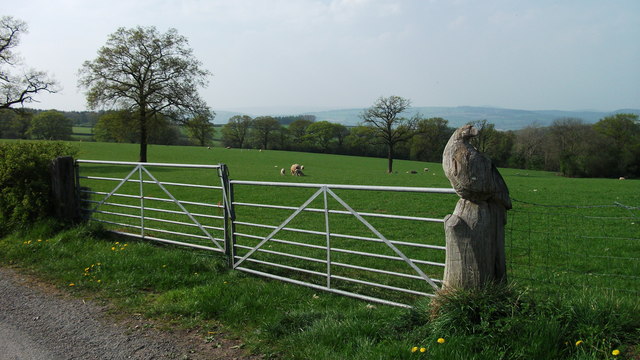
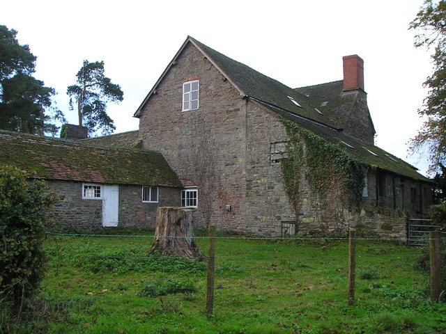
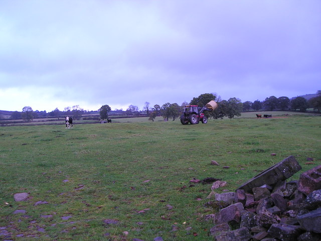
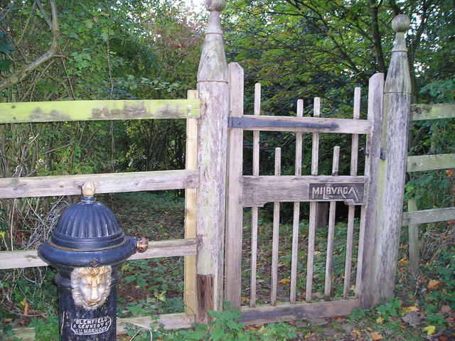
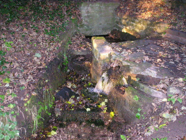
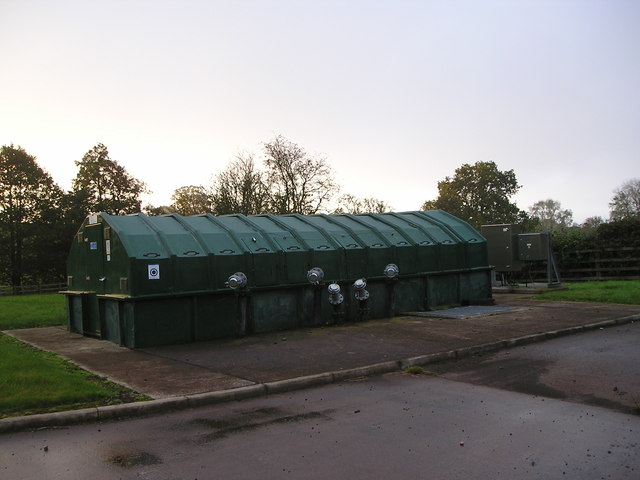
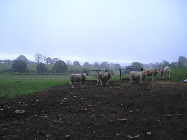
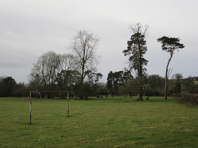
Stoke St Milborough Images

Images are sourced within 2km of 52.4391/-2.638845 or Grid Reference SO5682. Thanks to Geograph Open Source API. All images are credited.

Carved buzzard as a gatepost. Patient buzzard carved in to the gatepost of a field opposite Greater Postan Farm on Weston Hill.
Carved buzzard as a gatepost.
Patient buzzard carved in to the gatepost of a field opposite Greater Postan Farm on Weston Hill.
Stoke Court Farm
Stoke Court Farm
Feeding the cattle A circular bale of straw is delivered to the ring feeder in the distance on the right.
Feeding the cattle
A circular bale of straw is delivered to the ring feeder in the distance on the right.
St Milburgha's Well Entrance to St Milburgha's Well. A plaque just inside tells how St Milburgha had an accident when riding here in about 666. She was so impressed by the kindness of the people who helped her that she struck the rock and caused water to gush out.
St Milburgha's Well
Entrance to St Milburgha's Well. A plaque just inside tells how St Milburgha had an accident when riding here in about 666. She was so impressed by the kindness of the people who helped her that she struck the rock and caused water to gush out.
Water emerging from St Milburgha's Well
Sewage treatment works Modern sewage treatment facility owned by Severn Trent Water. The digester emits noxious gases and a notice on the door tells operatives to ventilate the facility for 12 minutes before entering.
Sewage treatment works
Modern sewage treatment facility owned by Severn Trent Water. The digester emits noxious gases and a notice on the door tells operatives to ventilate the facility for 12 minutes before entering.
Young cattle It is late October. The ash trees have shed their leaves but some other trees, including the oaks, retain theirs.
Young cattle
It is late October. The ash trees have shed their leaves but some other trees, including the oaks, retain theirs.
Goalposts, Stoke St Milborough A field beside the village hall. There were no pitch markings.
Goalposts, Stoke St Milborough
A field beside the village hall. There were no pitch markings.
View towards Clee Hill Looking over a hedge from a lane on the slopes of Brown Clee. (Titterstone) Clee Hill has the property of changing shape from different vantage points.
View towards Clee Hill
Looking over a hedge from a lane on the slopes of Brown Clee. (Titterstone) Clee Hill has the property of changing shape from different vantage points.
St Milburgha, Stoke St Milborough Pouring with rain, with the tower encased in scaffolding and plastic sheeting - not great raw material for a decent picture.
St Milburgha, Stoke St Milborough
Pouring with rain, with the tower encased in scaffolding and plastic sheeting - not great raw material for a decent picture.
St Milburgha, Stoke St Milborough Pouring with rain and the tower encased in scaffolding and plastic sheeting - not great raw material for a decent picture.
St Milburgha, Stoke St Milborough
Pouring with rain and the tower encased in scaffolding and plastic sheeting - not great raw material for a decent picture.
St Margaret, Clee St Margaret The herringbone masonry in the chancel denotes its ancient origin
St Margaret, Clee St Margaret
The herringbone masonry in the chancel denotes its ancient origin
St Margaret, Clee St Margaret
St Margaret, Clee St Margaret The openwork belfry is part of the 1897 restoration, but herringbone masonry at the East end is proof of an ancient foundation.
St Margaret, Clee St Margaret
The openwork belfry is part of the 1897 restoration, but herringbone masonry at the East end is proof of an ancient foundation.
Clee St Margaret Ford This substantial ford is found in the picturesque village of Clee St Margaret:
<span class="nowrap"><a title="https://youtu.be/y1Zmq5tLUzc" rel="nofollow ugc noopener" href="https://youtu.be/y1Zmq5tLUzc">Link</a><img style="margin-left:2px;" alt="External link" title="External link - shift click to open in new window" src="https://s1.geograph.org.uk/img/external.png" width="10" height="10"/></span>
Clee St Margaret Ford
This substantial ford is found in the picturesque village of Clee St Margaret: LinkExternal link
Ford at Marsh Farm This ford is found along a B.O.A.T. leading down from Marsh Farm. The track had been blocked off at the time of our visit.
Ford at Marsh Farm
This ford is found along a B.O.A.T. leading down from Marsh Farm. The track had been blocked off at the time of our visit.
St Margaret's Church, Clee St Margaret Peaceful and charming with 11th Century beginnings the current Church at Clee has stood for 900 years.
St Margaret's Church, Clee St Margaret
Peaceful and charming with 11th Century beginnings the current Church at Clee has stood for 900 years.
Show me another place!

Stoke St Milborough is located at Grid Ref: SO5682 (Lat: 52.4391, Lng: -2.638845)

Unitary Authority: Shropshire

Police Authority: West Mercia

What 3 Words

///strictest.iterative.raven. Near Ludlow, Shropshire

Related Wikis

Stoke St. Milborough

Stoke St. Milborough is a parish located in the south of Shropshire, England, north-east of Ludlow. The population of the civil parish at the 2011 census...

Clee St. Margaret

Clee St. Margaret is a small village and civil parish in the Clee Hills area of Shropshire, England. It is seven miles north east (about a fifteen-minute...

Nordy Bank

Nordy Bank is an Iron Age hill fort on Brown Clee Hill in the Shropshire Hills Area of Outstanding Natural Beauty in South Shropshire, England. == Location... ==

Hopton Cangeford

Hopton Cangeford, also referred to as Hopton-in-the-Hole, is a small village and civil parish in south Shropshire, England. The small parish includes Lesser...

Nearby Amenities

Located within 500m of 52.4391,-2.638845
Stoke St Milborough
Alt Name: Godstoke
Place: village
Wikidata: Q3877107
Lat/Long: 52.4364068/-2.6383176
Saint Milburga's Well
Alt Name: Saint Milburgha's Well
Man Made: water_well
Source: OS 1:25k
Lat/Long: 52.4369791/-2.6373144
Telephone
Defibrillator
Booth: KX100
Covered: booth
Defibrillator Location: inside phone box by corner of road leading to St Milburgha's Church, Stoke St Milborough
Emergency: defibrillator
Man Made: telephone_box
Lat/Long: 52.4364579/-2.6381633
Post Box
Post Box Type: lamp
Lat/Long: 52.4364391/-2.6381352
Advertising: board
Support: wall_mounted
Lat/Long: 52.4364468/-2.6381563
Generator Method: photovoltaic
Generator Output Electricity: yes
Generator Source: solar
Generator Type: solar_photovoltaic_panel
Location: roof
Power: generator
Lat/Long: 52.4416238/-2.6395378
The data included in this document is from www.openstreetmap.org. The data is made available under ODbL.

Have you been to Stoke St Milborough?

Leave your review of Stoke St Milborough below (or comments, questions and feedback).