Bogmoor

Settlement in Banffshire

Scotland

Bogmoor

Forest Access One of the many places where the felling of blocks of forest has significantly altered the landscape.
Forest Access Credit: Anne Burgess

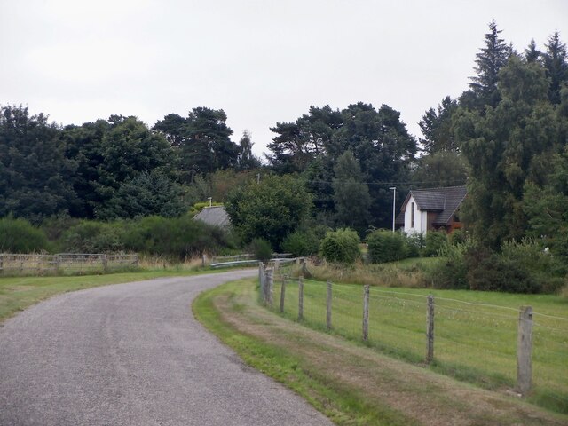
Bogmoor is a small village located in the county of Banffshire, Scotland. Situated in the northeastern part of the country, it is nestled amidst the picturesque landscapes of rolling hills and lush green fields. With a population of around 300 residents, Bogmoor exudes a quaint charm that attracts visitors seeking a peaceful retreat.

The village is renowned for its rich history, dating back to the early medieval period. Evidence of ancient settlements and burial grounds have been discovered in the vicinity, providing a glimpse into the region's past. The local architecture reflects this heritage, with several older buildings still standing and adding to the village's character.

Despite its small size, Bogmoor offers a few amenities to its residents and visitors. There is a cozy village pub that serves traditional Scottish fare and acts as a meeting place for locals. Additionally, a small convenience store provides essential goods, ensuring that the community's needs are met.

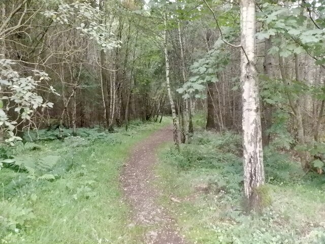
For those who enjoy the outdoors, Bogmoor is an ideal destination. The surrounding countryside offers ample opportunities for hiking, cycling, and exploring nature. A nearby river provides fishing enthusiasts with a chance to cast their lines and potentially catch trout or salmon.

Overall, Bogmoor presents a tranquil and idyllic setting for those seeking a break from the hustle and bustle of city life. Its historical significance, natural beauty, and warm community make it a charming place to visit or reside in Banffshire.

If you have any feedback on the listing, please let us know in the comments section below.
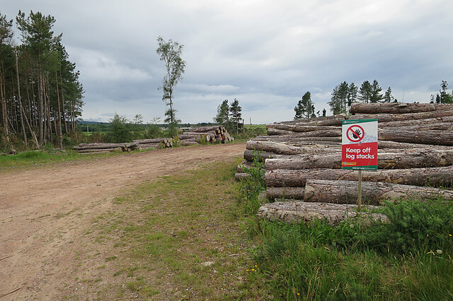
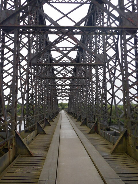
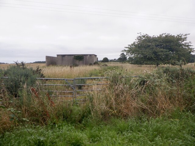
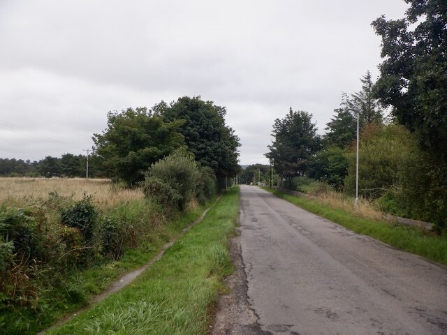
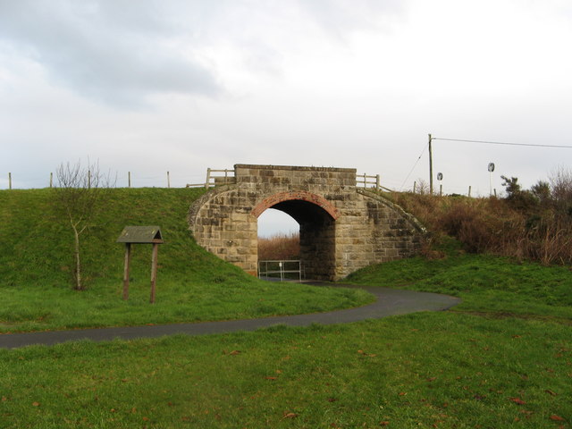
Bogmoor Images

Images are sourced within 2km of 57.651611/-3.07841 or Grid Reference NJ3562. Thanks to Geograph Open Source API. All images are credited.

Forest Access One of the many places where the felling of blocks of forest has significantly altered the landscape.
Forest Access
One of the many places where the felling of blocks of forest has significantly altered the landscape.
Spey Viaduct, Garmouth The railway closed in 1968 and the viaduct across the braided Spey survived and is used by a popular path.
Spey Viaduct, Garmouth
The railway closed in 1968 and the viaduct across the braided Spey survived and is used by a popular path.
Spey Viaduct, Garmouth The railway closed in 1968 and the viaduct across the braided Spey survived and is used by a popular path.
Spey Viaduct, Garmouth
The railway closed in 1968 and the viaduct across the braided Spey survived and is used by a popular path.
River Spey, Garmouth Near the outflow into the Moray Firth. The river is braided here and changes course frequently.
River Spey, Garmouth
Near the outflow into the Moray Firth. The river is braided here and changes course frequently.
After the harvest, Spey Bay View from the railway trackbed.
After the harvest, Spey Bay
View from the railway trackbed.
Building, RAF Dallachy A training airfield between 1943 and 1945.
Building, RAF Dallachy
A training airfield between 1943 and 1945.
Upper Dallachy
Upper Dallachy
Path, Roman Camp Wood
Barley, Bellie Brae
Barley, Bellie Brae
Cowiemuir Wood The wood has been receiving the attentions of forest harvesters in recent months, and is looking a bit the worse for it.
Cowiemuir Wood
The wood has been receiving the attentions of forest harvesters in recent months, and is looking a bit the worse for it.
Cowiemuir Wood More evidence of recent felling, leaving raw scars across the wood.
Cowiemuir Wood
More evidence of recent felling, leaving raw scars across the wood.
Felled Forest A few felled logs still wait to be uplifted from Cowiemuir Wood.
Felled Forest
A few felled logs still wait to be uplifted from Cowiemuir Wood.
Log Pile Sawn trunks waiting to be taken to the sawmill.
Log Pile
Sawn trunks waiting to be taken to the sawmill.
Driftwood A very large tree stump that has been washed up on the shingle bank.
Driftwood
A very large tree stump that has been washed up on the shingle bank.
Dritfwood at Spey Bay A large piece of driftwood beside the golf course at Spey Bay. It looks as if there has been some mechanical intervention on the shingle bank, perhaps an attempt to delay the encroachment of the sea on the golf course.
Dritfwood at Spey Bay
A large piece of driftwood beside the golf course at Spey Bay. It looks as if there has been some mechanical intervention on the shingle bank, perhaps an attempt to delay the encroachment of the sea on the golf course.
RAF Dallachy Strike Wing Memorial The memorial commemorates the aircrew who trained and served at RAF Dallachy during the Second World War. Construction began in 1942, and at first the airfield was used to train aircrew on multi-engined aircraft. From September 1944 Dallachy was the base for Beaufighter squadrons engaged in attacking enemy shipping in the North Sea and on the west coast of Norway. [<a href="https://www.geograph.org.uk/photo/3191649">NJ3563 : RAF Dallachy Strike Wing</a> is the main panel on the monument and <a href="https://www.geograph.org.uk/photo/3191650">NJ3563 : RAF 14 (Pilot) Advanced Flying Unit</a> is on the plinth to the left of the main panel. The other plinth carries an information board giving a brief history of RAF Dallachy.
RAF Dallachy Strike Wing Memorial
The memorial commemorates the aircrew who trained and served at RAF Dallachy during the Second World War. Construction began in 1942, and at first the airfield was used to train aircrew on multi-engined aircraft. From September 1944 Dallachy was the base for Beaufighter squadrons engaged in attacking enemy shipping in the North Sea and on the west coast of Norway. [NJ3563 : RAF Dallachy Strike Wing is the main panel on the monument and NJ3563 : RAF 14 (Pilot) Advanced Flying Unit is on the plinth to the left of the main panel. The other plinth carries an information board giving a brief history of RAF Dallachy.
Broken Scots Pine The break is very fresh, so this tree was presumably damaged by Storm Arwen last month. It's not obvious from this angle, but the broken top of the tree has been blown several metres from the remains of the trunk before being caught in the fence.
Broken Scots Pine
The break is very fresh, so this tree was presumably damaged by Storm Arwen last month. It's not obvious from this angle, but the broken top of the tree has been blown several metres from the remains of the trunk before being caught in the fence.
Show me another place!

Bogmoor is located at Grid Ref: NJ3562 (Lat: 57.651611, Lng: -3.07841)

Unitary Authority: Moray

Police Authority: North East

What 3 Words

///encrusted.pegs.comically. Near Fochabers, Moray

Nearby Locations

Bogmoor

Related Wikis

Upper Dallachy

Upper Dallachy is a small village situated in Moray, Scotland, approximately 2 miles south-east of Spey Bay. The village is located next to the now-abandoned...

Spey Bay railway station

Spey Bay railway station was a railway station in Spey Bay, Moray. The railway station was opened by the Great North of Scotland Railway (GNoSR) on its...

Old Church of St John

The Old Church of St John is a ruined church, incorporating a finely carved sacrament house and situated within a historic burial ground in Kirktown of...

Lower Auchenreath

Lower Auchenreath is a tiny rural settlement situated in the North East Coast of Scotland. It is home to a mixed arable/animal farm and is only a mile...

Gordon Tomb

The Gordon Tomb is a classical colonnaded mausoleum in the parish of Bellie in Moray, Scotland. It houses the sarcophagi of the second wife of the 4th...

Garmouth

Garmouth (Scottish Gaelic: Geàrr Magh ["narrow plain"]; spurious Scottish Gaelic: Gairmeach, A' Ghairmich; Scots: Gairmou', Garmo), is a village in Moray...

Spey Bay

Spey Bay (Scottish Gaelic: Inbhir Spè) is a small settlement in Moray, Scotland. It is situated at the eastern side of the mouth of the River Spey on the...

Garmouth railway station

Garmouth railway station was a railway station in Garmouth, parish of Urquhart, Moray. The railway station was opened by the Great North of Scotland Railway...

Nearby Amenities

Located within 500m of 57.651611,-3.07841
Bogmoor
Name Sco: Bogmuir
Place: village
Lat/Long: 57.6534481/-3.0808641
Dallachy Strike Wing War Memorial
Historic: memorial
Memorial: war_memorial
Lat/Long: 57.6528428/-3.0790837
Power: pole
Lat/Long: 57.6549983/-3.0802683
Power: pole
Lat/Long: 57.6557899/-3.0801859
Power: pole
Lat/Long: 57.6476206/-3.0779061
Power: pole
Lat/Long: 57.6481353/-3.0770402
Power: pole
Lat/Long: 57.6486292/-3.0761928
Power: pole
Lat/Long: 57.6487569/-3.0755825
Power: pole
Lat/Long: 57.6488991/-3.0748612
Power: pole
Lat/Long: 57.6480057/-3.073491
Power: pole
Lat/Long: 57.6484717/-3.0739466
Power: pole
Lat/Long: 57.6493282/-3.0758128
Power: pole
Lat/Long: 57.6498032/-3.0762937
Power: pole
Lat/Long: 57.6503556/-3.0768653
Power: pole
Lat/Long: 57.6508999/-3.0774336
Power: pole
Lat/Long: 57.6514532/-3.0780271
Booth: K6
Man Made: telephone_box
Lat/Long: 57.6497091/-3.0709053
The data included in this document is from www.openstreetmap.org. The data is made available under ODbL.

Have you been to Bogmoor?

Leave your review of Bogmoor below (or comments, questions and feedback).