Stody

Settlement in Norfolk North Norfolk

England

Stody

Ford at Hunworth This ford in the centre of Hunworth on the River Glaven is one of 5 fords in the village and is found at Hunworth Common.
Ford at Hunworth Credit: John Walton

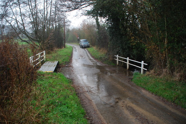
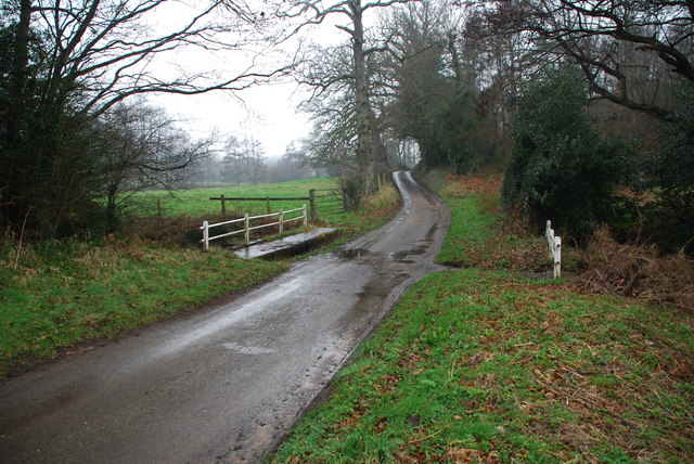
Stody is a charming village located in the county of Norfolk, England. Situated in the North Norfolk district, this rural settlement is known for its picturesque countryside and tranquil atmosphere. Stody is nestled within the scenic Glaven Valley, surrounded by lush green fields and rolling hills.

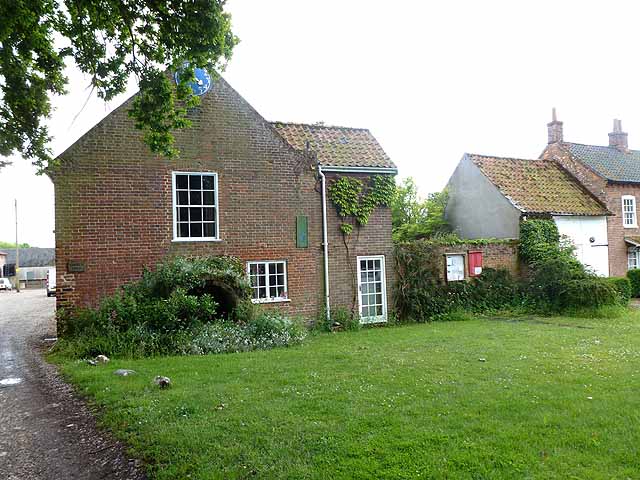
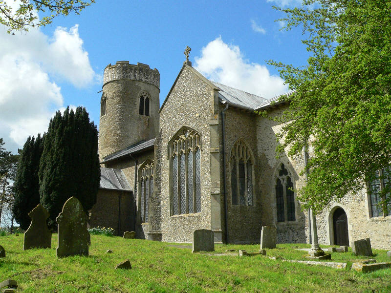
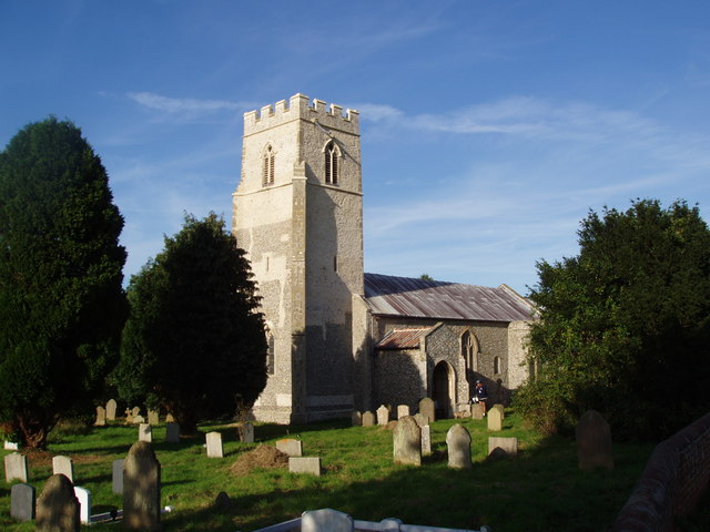
The village itself is small, with a population of around 150 residents. It boasts a rich history, dating back to the Domesday Book of 1086, where it is mentioned as "Stodai." Stody is home to several historic buildings, including St. Mary's Church, a beautiful medieval church that stands proudly in the heart of the village.

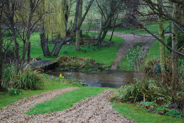
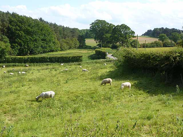
Nature lovers will find Stody to be a paradise, as it offers stunning natural landscapes and wildlife. The area is renowned for its diverse flora and fauna, with many rare species of plants and animals thriving in the surrounding fields and woodlands. Stody Estate, a privately-owned estate spanning over 2,000 acres, is a popular destination for outdoor activities such as walking, birdwatching, and nature photography.

The village hosts various events throughout the year, including the Stody Estate Open Gardens, where visitors can explore the stunning gardens and enjoy the vibrant displays of flowers and plants. Stody Lodge Gardens, located within the estate, is a particular highlight, featuring a collection of beautiful rhododendrons, azaleas, and magnolias.

With its idyllic countryside setting and rich natural beauty, Stody offers a peaceful retreat for residents and visitors alike. Whether you are seeking a serene escape or an opportunity to explore the great outdoors, Stody is a haven of tranquility in the heart of Norfolk.

If you have any feedback on the listing, please let us know in the comments section below.
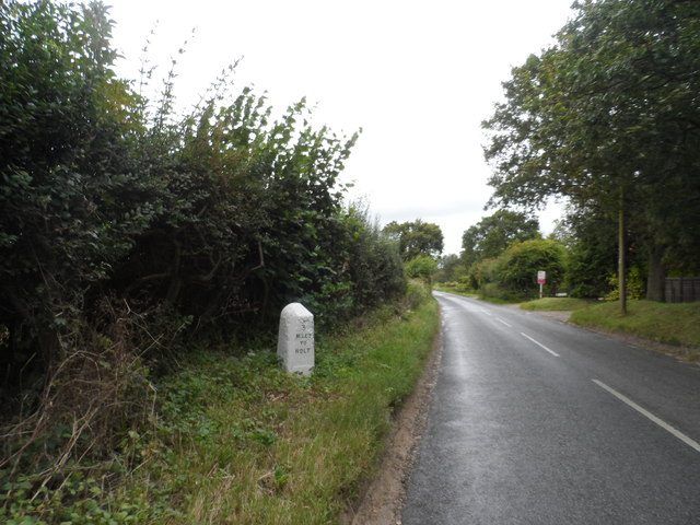
Stody Images

Images are sourced within 2km of 52.872696/1.053381 or Grid Reference TG0534. Thanks to Geograph Open Source API. All images are credited.

Ford at Hunworth This ford in the centre of Hunworth on the River Glaven is one of 5 fords in the village and is found at Hunworth Common.
Ford at Hunworth
This ford in the centre of Hunworth on the River Glaven is one of 5 fords in the village and is found at Hunworth Common.
Ford at Hunworth This second ford, of five, at Hunworth although marked on the map as a ford is beyond a gate and appears to be on private land. This ford on the River Glaven is found just down the hill from the church
Ford at Hunworth
This second ford, of five, at Hunworth although marked on the map as a ford is beyond a gate and appears to be on private land. This ford on the River Glaven is found just down the hill from the church
Ford at Beck Farm, near Hunworth This is the third of the five fords at Hunworth found on a sharp bend 1.5 miles north west of the village on the road to Thornage.
Ford at Beck Farm, near Hunworth
This is the third of the five fords at Hunworth found on a sharp bend 1.5 miles north west of the village on the road to Thornage.
Ford near Castle Hill, Hunworth This is the fourth of the five fords at Hunworth found on the road out of the village to Edgefield. There is a second ford a few hundred yards further down this road.
Ford near Castle Hill, Hunworth
This is the fourth of the five fords at Hunworth found on the road out of the village to Edgefield. There is a second ford a few hundred yards further down this road.
Ford near Castle Hill, Hunworth This is the second of the two fords on the road out of Hunworth to Edgefield and the fifth of the five in the village.
Ford near Castle Hill, Hunworth
This is the second of the two fords on the road out of Hunworth to Edgefield and the fifth of the five in the village.
The Green, Hunworth The eastern section.
The Green, Hunworth
The eastern section.
The Green, Hunworth Western section.
The Green, Hunworth
Western section.
Railway embankment near Hunworth Part of the Midland and Great Northern Joint Railway from Cromer to Melton Constable. Opened as the Eastern and Midlands Railway in 1884, the line closed to all traffic in 1964.
Railway embankment near Hunworth
Part of the Midland and Great Northern Joint Railway from Cromer to Melton Constable. Opened as the Eastern and Midlands Railway in 1884, the line closed to all traffic in 1964.
Brinton village sign Colourful village name signs are a common sight in Norfolk.
Brinton village sign
Colourful village name signs are a common sight in Norfolk.
Houses in Brinton On the edge of the tiny village green.
Houses in Brinton
On the edge of the tiny village green.
Fields south of Stody
Hunworth Ford This ford on the River Glaven was used in the 1970 Joseph Losey film 'The Go-Between'. The scene involved the return of the carriages to nearby Melton Constable Hall after a picnic party. The cricket match scene was also filmed nearby at Thornage. I confirmed the "credentials" of this ford with the family of the house adjacent who remembered the filming. See also <a title="https://www.geograph.org.uk/photo/2855626" href="https://www.geograph.org.uk/photo/2855626">Link</a> and a still from the film:
<span class="nowrap"><a title="http://www5.clikpic.com/fordhunter/images/The_Ford_in_The_Go_Between.JPG" rel="nofollow ugc noopener" href="http://www5.clikpic.com/fordhunter/images/The_Ford_in_The_Go_Between.JPG">Link</a><img style="margin-left:2px;" alt="External link" title="External link - shift click to open in new window" src="https://s1.geograph.org.uk/img/external.png" width="10" height="10"/></span>
Hunworth Ford
This ford on the River Glaven was used in the 1970 Joseph Losey film 'The Go-Between'. The scene involved the return of the carriages to nearby Melton Constable Hall after a picnic party. The cricket match scene was also filmed nearby at Thornage. I confirmed the "credentials" of this ford with the family of the house adjacent who remembered the filming. See also Link and a still from the film: LinkExternal link
Beck Farm Ford, Hunworth This ford is found on the road out of Hunworth to Thornage. See also <a title="https://www.geograph.org.uk/photo/2855661" href="https://www.geograph.org.uk/photo/2855661">Link</a>
Beck Farm Ford, Hunworth
This ford is found on the road out of Hunworth to Thornage. See also Link
Fakenham Road (B1354) Near Manor Farm.
Fakenham Road (B1354)
Near Manor Farm.
Ruins of St Mary's Church, Burgh Parva The church had been abandoned by the end of the C17 although there is some evidence of C19 repairs to the tower. The tower was built in 1502 but some parts of the structure are characteristic of pre-Norman buildings.
Ruins of St Mary's Church, Burgh Parva
The church had been abandoned by the end of the C17 although there is some evidence of C19 repairs to the tower. The tower was built in 1502 but some parts of the structure are characteristic of pre-Norman buildings.
St Mary's Burgh Parva, Tin Church Built in 1903 in response to the increase in population caused by the opening of the rail works at Melton Constable. Corrugated iron churches "tin tabernacles" were a popular way of providing a church building on the cheap at the turn of the century. See <a title="https://www.geograph.org.uk/photo/3833073" href="https://www.geograph.org.uk/photo/3833073">Link</a> <a title="https://www.geograph.org.uk/photo/4247854" href="https://www.geograph.org.uk/photo/4247854">Link</a> and <a title="https://www.geograph.org.uk/photo/3430690" href="https://www.geograph.org.uk/photo/3430690">Link</a> for more examples.
St Mary's Burgh Parva, Tin Church
Built in 1903 in response to the increase in population caused by the opening of the rail works at Melton Constable. Corrugated iron churches "tin tabernacles" were a popular way of providing a church building on the cheap at the turn of the century. See Link Link and Link for more examples.
Milestone on B1110 3 miles to Holt, 15 miles to Dereham. See for a close-up.
Milestone on B1110
3 miles to Holt, 15 miles to Dereham. See for a close-up.
Milestone on B1110 (close up) See <a title="https://www.geograph.org.uk/photo/4129624" href="https://www.geograph.org.uk/photo/4129624">Link</a> for a wider view. It has clearly been cleaned or repainted since Keith Evans' visit in 2009.
Milestone on B1110 (close up)
See Link for a wider view. It has clearly been cleaned or repainted since Keith Evans' visit in 2009.
Show me another place!

Stody is located at Grid Ref: TG0534 (Lat: 52.872696, Lng: 1.053381)

Administrative County: Norfolk

District: North Norfolk

Police Authority: Norfolk

What 3 Words

///hurtles.hints.dishing. Near Briston, Norfolk

Related Wikis

Stody

Stody is a village and a civil parish in the English county of Norfolk. The village is 13.2 miles (21.2 km) west south west of Cromer, 21.8 miles (35.1...

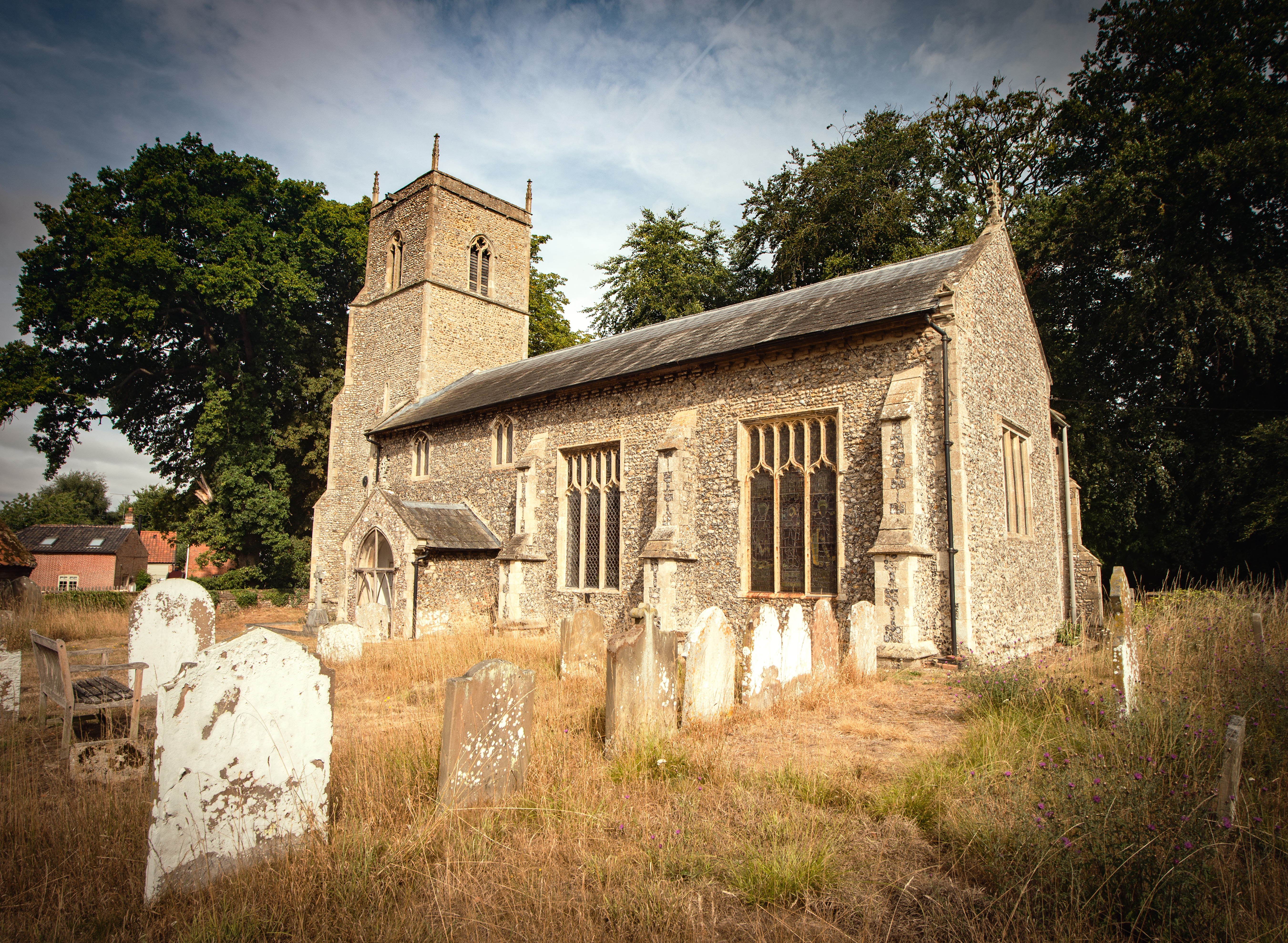
St Lawrence Parish Church, Hunworth

St Lawrence Parish Church is a Grade II* listed building in the village of Hunworth in Norfolk, England. The church is dedicated to Saint Lawrence who...

Hunworth

Hunworth is a village and former civil parish, now in the parish of Stody, in the North Norfolk district, in the county of Norfolk, England. The village...
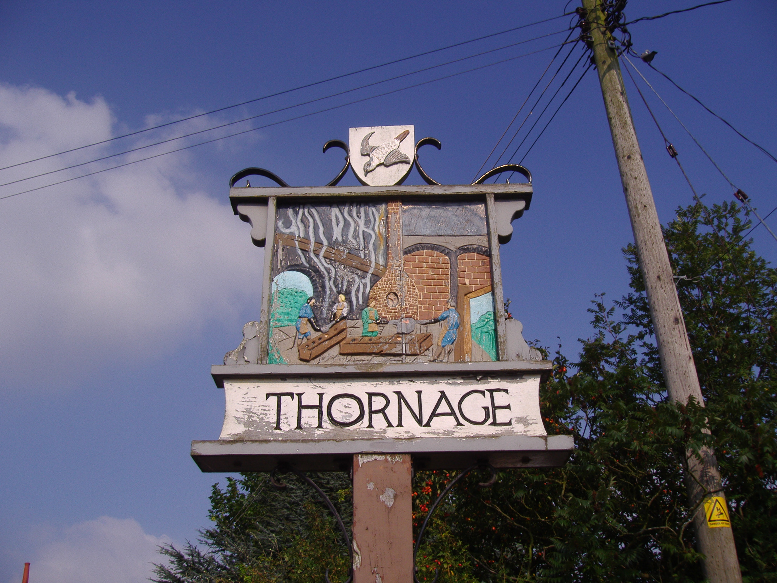
Thornage

Thornage is a village and a civil parish in the English county of Norfolk. The village is 2.7 miles south-west of Holt, 23.2 miles north-west of Norwich...

Brinton, Norfolk

Brinton is a village and a civil parish in the English county of Norfolk. The village is 10.8 miles east-north-east of the town of Fakenham, 13.1 miles...

Briningham

Briningham is a village and a civil parish in the English county of Norfolk. The village is 9.9 miles east north east of the town of Fakenham, 13.3 miles...

Melton Constable

Melton Constable is a village and civil parish in the English county of Norfolk. It covers an area of 6.96 km2 (2.69 sq mi) and had a population of 518...
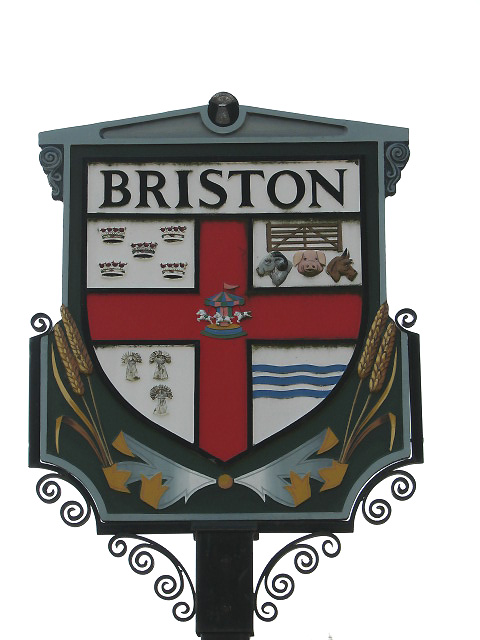
Briston

Briston is a village, civil parish and electoral ward in the English county of Norfolk that contains the hamlet of Briston Common. The village is 11 miles...

Nearby Amenities

Located within 500m of 52.872696,1.053381
Brinton Road, adj
Naptan AtcoCode: 2900S473
Naptan Bearing: S
Naptan BusStopType: CUS
Naptan CommonName: Brinton Road
Naptan Indicator: adj
Naptan Landmark: St. Mary's Church
Naptan Locality: Stody
Naptan NaptanCode: nfodtwtg
Naptan ShortCommonName: Brinton Road
Naptan Street: Brinton Road
Naptan Verified: no
Source: naptan_import
Lat/Long: 52.873868/1.0525024
Brinton Road, opp
Naptan AtcoCode: 2900S474
Naptan Bearing: N
Naptan BusStopType: CUS
Naptan CommonName: Brinton Road
Naptan Indicator: opp
Naptan Landmark: St. Mary's Church
Naptan Locality: Stody
Naptan NaptanCode: nfodtwtj
Naptan ShortCommonName: Brinton Road
Naptan Street: Brinton Road
Naptan Verified: no
Source: naptan_import
Lat/Long: 52.8738793/1.0524141
Stody
Place: village
Lat/Long: 52.8747918/1.0507694
Entrance: yes
Lat/Long: 52.8737772/1.0532776
Entrance: yes
Lat/Long: 52.8737223/1.053569
Entrance: main
Lat/Long: 52.8736808/1.0532969
Power: pole
Lat/Long: 52.8687938/1.0504778
Power: pole
Lat/Long: 52.8697393/1.0502163
Power: pole
Lat/Long: 52.8706897/1.049311
Power: pole
Lat/Long: 52.871483/1.0485707
Power: pole
Lat/Long: 52.872218/1.0481134
Power: pole
Lat/Long: 52.8733229/1.0474402
Power: pole
Lat/Long: 52.8743939/1.0468662
The data included in this document is from www.openstreetmap.org. The data is made available under ODbL.

Have you been to Stody?

Leave your review of Stody below (or comments, questions and feedback).