Stodday

Settlement in Lancashire Lancaster

England

Stodday

Old footbridge over Burrow Beck
Old footbridge over Burrow Beck Credit: shikari

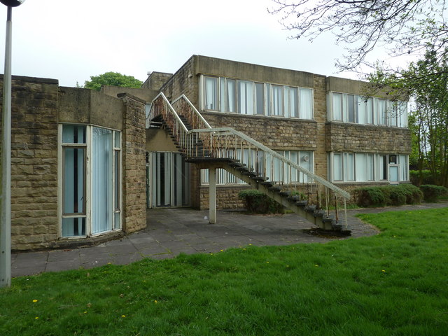
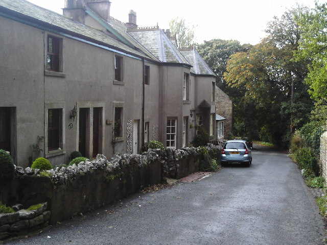
Stodday is a small village located in the county of Lancashire, in the northwestern part of England. Situated just a few miles north of the city of Lancaster, Stodday is a rural settlement that offers a quaint and picturesque countryside atmosphere.

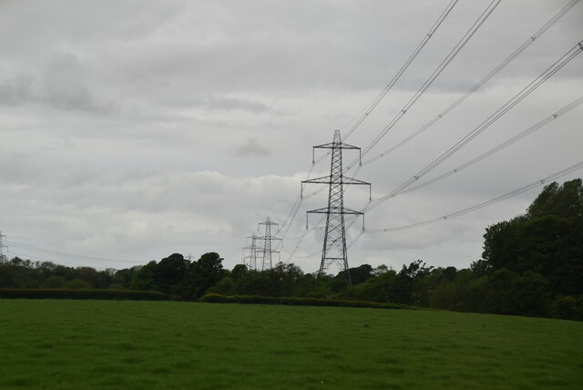
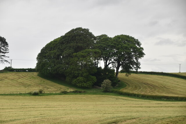
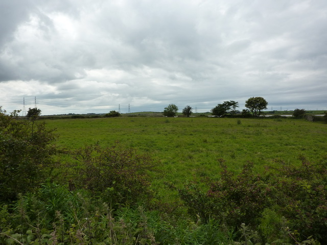
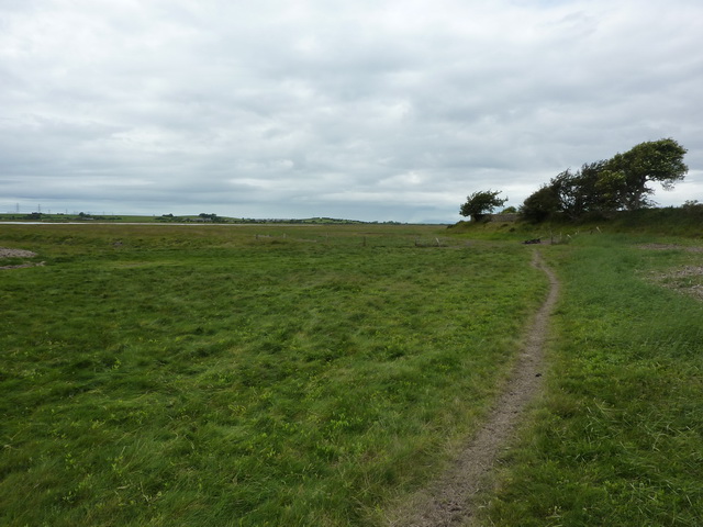
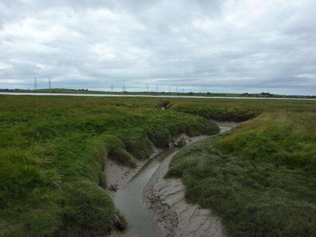
With a population of around 300 residents, Stodday is known for its peaceful and close-knit community. The village is surrounded by lush green fields and farmland, providing a serene environment for those seeking a tranquil retreat from urban life. The River Lune flows nearby, adding to the natural beauty of the area and offering opportunities for recreational activities such as fishing and boating.

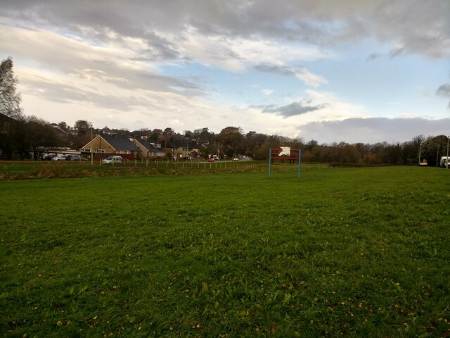
Historically, Stodday has been an agricultural village, with farming playing a significant role in the local economy. The landscape is dotted with farmhouses and barns, showcasing the area's farming heritage. However, in recent years, Stodday has seen a slight shift towards more residential development, with a few modern housing estates being built to accommodate the growing population.

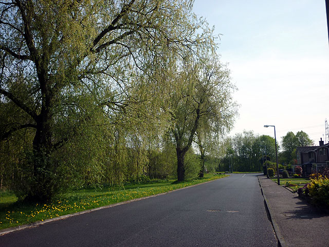
Despite its small size, Stodday benefits from its proximity to Lancaster, which provides residents with access to a range of amenities, including shops, schools, and healthcare facilities. The village is also well-connected to other parts of Lancashire and beyond, with good transport links such as nearby motorways and train stations.

Overall, Stodday offers a charming and idyllic countryside living experience, making it an attractive place for those seeking a peaceful retreat while still having easy access to urban amenities.

If you have any feedback on the listing, please let us know in the comments section below.
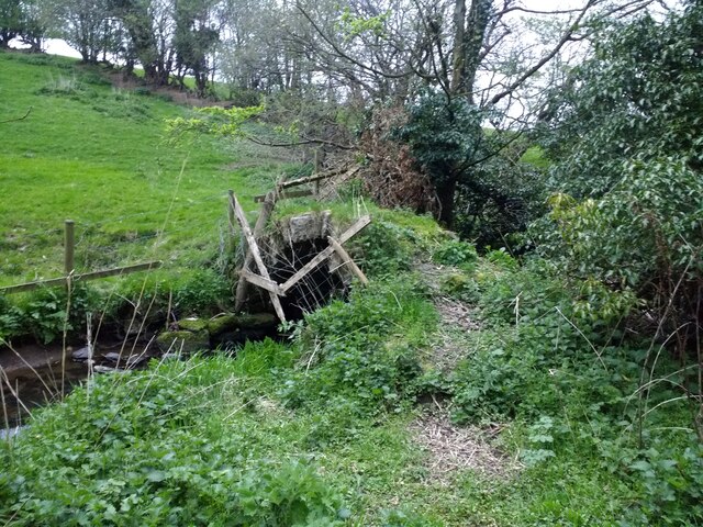
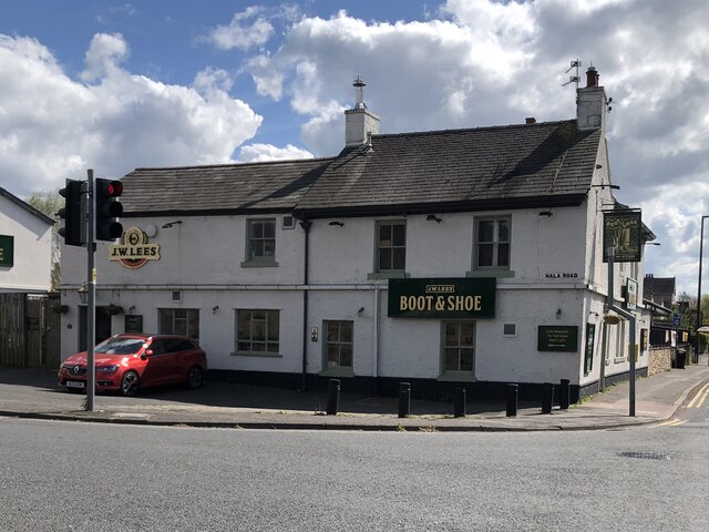
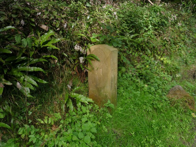
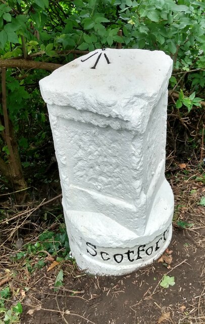
Stodday Images

Images are sourced within 2km of 54.021705/-2.817027 or Grid Reference SD4658. Thanks to Geograph Open Source API. All images are credited.

Old footbridge over Burrow Beck
OS Bench Mark OS cut bench mark from the 20th century levelling on south parapet of Brantbeck Bridge over Lancaster Canal. This is a bit of a puzzle as it is upside down, although the parapet shows no signs of being rebuilt. It is marked on the 1932 25" OS map and corresponds to the description in the OS database: BRANTBECK BR PARA CANAL C NE FACE (ODN 28.831m, AGL 0.2m).
The bench mark shown in <a href="https://www.geograph.org.uk/photo/3927870">SD4757 : Ordnance Survey Cut Mark</a> is on the north parapet and must be a previous mark from the 19th century levelling as shown on the 1891 and 1913 maps (although it changes position between the two editions!).
OS Bench Mark
OS cut bench mark from the 20th century levelling on south parapet of Brantbeck Bridge over Lancaster Canal. This is a bit of a puzzle as it is upside down, although the parapet shows no signs of being rebuilt. It is marked on the 1932 25" OS map and corresponds to the description in the OS database: BRANTBECK BR PARA CANAL C NE FACE (ODN 28.831m, AGL 0.2m). The bench mark shown in SD4757 : Ordnance Survey Cut Mark is on the north parapet and must be a previous mark from the 19th century levelling as shown on the 1891 and 1913 maps (although it changes position between the two editions!).
OS Bench Mark OS rivet bench mark from the 20th century levelling on east parapet of A588 bridge over Burrow Beck. 15.15 m above datum. (The camera was pointed almost vertically downwards.)
OS Bench Mark
OS rivet bench mark from the 20th century levelling on east parapet of A588 bridge over Burrow Beck. 15.15 m above datum. (The camera was pointed almost vertically downwards.)
The Boot & Shoe, Scotforth
Milestone Marker 29-28 F (between bridges 93-94), Lancaster Canal Milestone located by the side of the Lancaster Canal
This milestone is 28 miles from the centre of Preston and 29 miles from Kendal

Inscription reads:- 
Garstang / 11 :: Lancaster / 2 

Milestone Society National ID: LAN-28R
Milestone Marker 29-28 F (between bridges 93-94), Lancaster Canal
Milestone located by the side of the Lancaster Canal This milestone is 28 miles from the centre of Preston and 29 miles from Kendal Inscription reads:- Garstang / 11 :: Lancaster / 2 Milestone Society National ID: LAN-28R
Milestone Marker 30-27 (91-90), Lancaster Canal - Site of missing Ashton Park Milestone Of the 56 milestones on the Lancaster Canal five are missing. This is the site of one of them. 

If the milestone was there the inscription would be Garstang / 10 :: Lancaster / 3 It would be located 27 miles from the Centre of Preston and 30 miles from Kendal. 

Any information about this milestone would be appreciated, please.
Milestone Marker 30-27 (91-90), Lancaster Canal - Site of missing Ashton Park Milestone
Of the 56 milestones on the Lancaster Canal five are missing. This is the site of one of them. If the milestone was there the inscription would be Garstang / 10 :: Lancaster / 3 It would be located 27 miles from the Centre of Preston and 30 miles from Kendal. Any information about this milestone would be appreciated, please.
Bench Mark Ordnance Survey cut bench mark on gatepost next to lodge (where there was formerly a private halt on the Glasson Dock Branch railway, serving Ashton Hall). 25.4 feet above old datum.
Bench Mark
Ordnance Survey cut bench mark on gatepost next to lodge (where there was formerly a private halt on the Glasson Dock Branch railway, serving Ashton Hall). 25.4 feet above old datum.
Old Milestone by A6, South of Lawson's Bridge The Milestone is located by the road on the West of the road.  Parish of Scotforth (Lancaster District). Stone post (plate lost), Lancaster twin iron plate design, erected by the Garstang & Heronsyke turnpike trust in the 19th Century, edge chips. An earlier photograph can be found here: <a title="https://www.geograph.org.uk/photo/6095824" href="https://www.geograph.org.uk/photo/6095824">Link</a> 

Inscription reads:- 
SCOTFORTH 

Milestone Society National ID: LA_LAGS02
Old Milestone by A6, South of Lawson's Bridge
The Milestone is located by the road on the West of the road.  Parish of Scotforth (Lancaster District). Stone post (plate lost), Lancaster twin iron plate design, erected by the Garstang & Heronsyke turnpike trust in the 19th Century, edge chips. An earlier photograph can be found here: Link  Inscription reads:- SCOTFORTH Milestone Society National ID: LA_LAGS02
Milestone Marker 30-27 F (between bridges 91-90), Lancaster Canal Milestone located by the side of the Lancaster Canal
This milestone is 27 miles from the centre of Preston and 30 miles from Kendal

Inscription reads:-
Garstang / 10 :: Lancaster / 3

Milestone Society National ID: LAN-27R
Milestone Marker 30-27 F (between bridges 91-90), Lancaster Canal
Milestone located by the side of the Lancaster Canal This milestone is 27 miles from the centre of Preston and 30 miles from Kendal Inscription reads:- Garstang / 10 :: Lancaster / 3 Milestone Society National ID: LAN-27R
Pylons
Pylons
Clump of trees
Clump of trees
New flood defences finished and fenced off on Burrow Beck
Whinfell Drive, south Scotforth
A6 by Bailrigg
A6 by Bailrigg
Building formerly Lancaster School of Nursing Looks in disrepair, but around the late 80's, before it closed altogether and the school moved, it was a busy and thriving school, where registered nurse training was in full swing, and opportunities to visit the Royal Albert Hospital itself, for further training was the norm.
Building formerly Lancaster School of Nursing
Looks in disrepair, but around the late 80's, before it closed altogether and the school moved, it was a busy and thriving school, where registered nurse training was in full swing, and opportunities to visit the Royal Albert Hospital itself, for further training was the norm.
Pasture south of Aldcliffe Marsh
Footpath, Aldcliffe Marsh Looking at the footprints on the path it would seem it is regularly used by sheep and not humans
Footpath, Aldcliffe Marsh
Looking at the footprints on the path it would seem it is regularly used by sheep and not humans
Tidal creek on Aldcliffe Marsh
Show me another place!

Stodday is located at Grid Ref: SD4658 (Lat: 54.021705, Lng: -2.817027)

Administrative County: Lancashire

District: Lancaster

Police Authority: Lancashire

What 3 Words

///firebird.freshest.shipped. Near Overton, Lancashire

Related Wikis

Stodday

Stodday is a hamlet in the civil parish of Aldcliffe-with-Stodday, in the Lancaster district, in the county of Lancashire, England. It is just south of...

Aldcliffe-with-Stodday

Aldcliffe-with-Stodday or Aldcliffe with Stodday is a civil parish in City of Lancaster district, Lancashire, England. It lies to the south west of central...

Ashton with Stodday

Ashton with Stodday is a former township and civil parish near Lancaster, Lancashire, England. The civil parish was created in 1866 within Lancaster Rural...

Aldcliffe

Aldcliffe is a hamlet, and former township and civil parish, now in the parish of Aldcliffe-with-Stodday, south-west of Lancaster, in the Lancaster district...

Nearby Amenities

Located within 500m of 54.021705,-2.817027
Stodday
Place: hamlet
Wikidata: Q7618314
Wikipedia: en:Stodday
Lat/Long: 54.021181/-2.8164463
Post Box
Collection Times: Mo-Fr 09:00, Sa 07:00
Operator: Royal Mail
Post Box Mounting: wall
Post Box Type: lamp
Ref: LA2 190
Royal Cypher: VR
Royal Cypher Wikidata: Q33102356
Lat/Long: 54.0212873/-2.8154768
Passing Place
Lat/Long: 54.0181443/-2.8178873
Power: tower
Source: Bing
Lat/Long: 54.0211633/-2.8241693
Power: tower
Source: Bing
Lat/Long: 54.019394/-2.819152
Power: tower
Source: Bing
Lat/Long: 54.0187999/-2.8191267
Power: tower
Source: Bing
Lat/Long: 54.0194192/-2.8135301
Passing Place
Lat/Long: 54.0191432/-2.8133355
Barrier: stile
Step Count: 5
Stile: stepover
Lat/Long: 54.0215539/-2.8152418
Carr Lane Bridge
Bus: yes
Naptan AtcoCode: 2500LAA16592
Naptan Bearing: S
Naptan CommonName: Carr Lane Bridge
Naptan Indicator: by
Naptan Landmark: Carr Lane Bridge
Naptan LocalityCode: E0016019
Naptan Street: Ashton Road
Naptan Verified: yes
Physically Present: no
Public Transport: stop_position
Lat/Long: 54.020041/-2.8102409
Carr Lane Bridge
Bus: yes
Naptan AtcoCode: 2500LAA16593
Naptan Bearing: N
Naptan CommonName: Carr Lane Bridge
Naptan Indicator: opp
Naptan Landmark: Carr Lane Bridge
Naptan LocalityCode: E0016019
Naptan Street: Ashton Road
Naptan Verified: yes
Physically Present: no
Public Transport: stop_position
Lat/Long: 54.020002/-2.8102751
Stodday
Operator: Electricity North West
Power: substation
Ref: 641009
Lat/Long: 54.02151/-2.8154575
Barrier: stile
Stile: stepover
Lat/Long: 54.0221304/-2.8097104
Generator Method: photovoltaic
Generator Orientation: south_east
Generator Output Electricity: yes
Generator Solar Modules: 15
Generator Source: solar
Generator Type: solar_photovoltaic_panel
Location: roof
Power: generator
Lat/Long: 54.0210315/-2.8167945
Passing Place
Lat/Long: 54.0195411/-2.8116634
Give Way
Direction: forward
Lat/Long: 54.0196534/-2.810583
Passing Place
Lat/Long: 54.025299/-2.8160534
Passing Place
Lat/Long: 54.0189347/-2.8158735
Barrier: stile
Stile: squeezer
Lat/Long: 54.0215696/-2.8152763
Grit Bin
Survey Date: 2023-08-01
Lat/Long: 54.0210999/-2.8174802
Grit Bin
Survey Date: 2023-08-01
Lat/Long: 54.0214284/-2.8154551
Post Box
Survey Date: 2023-08-01
Lat/Long: 54.021339/-2.815421
The data included in this document is from www.openstreetmap.org. The data is made available under ODbL.

Have you been to Stodday?

Leave your review of Stodday below (or comments, questions and feedback).