Stocktonwood
Settlement in Shropshire
England
Stocktonwood

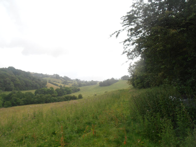
Stocktonwood is a small village located in the county of Shropshire, England. Nestled amidst the picturesque countryside, it is situated approximately 5 miles northeast of the town of Shrewsbury. With a population of around 400 residents, Stocktonwood is a close-knit community known for its tranquility and natural beauty.
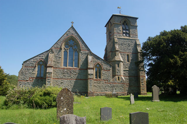
The village is characterized by its charming cottages and historic buildings, which reflect its rich heritage. The centerpiece of Stocktonwood is the St. Mary's Church, a beautiful medieval structure that dates back to the 12th century. Surrounded by a well-maintained churchyard, it serves as a focal point for both religious and community events.
Nature enthusiasts are drawn to Stocktonwood due to its proximity to various outdoor attractions. The village is located near the Shropshire Hills Area of Outstanding Natural Beauty, offering residents and visitors ample opportunities for hiking, cycling, and exploring the scenic landscapes. Additionally, the nearby River Severn provides a serene setting for boating and fishing enthusiasts.
Despite its rural setting, Stocktonwood benefits from good transport links. The A49 road runs close to the village, connecting it to nearby towns and cities, such as Shrewsbury and Hereford. This allows residents to access a range of amenities, including schools, healthcare facilities, and shopping centers, within a short distance.
Overall, Stocktonwood offers a peaceful and idyllic lifestyle, combining the charm of a traditional English village with easy access to modern conveniences and stunning natural surroundings.
If you have any feedback on the listing, please let us know in the comments section below.
Stocktonwood Images
Images are sourced within 2km of 52.601727/-3.0940519 or Grid Reference SJ2601. Thanks to Geograph Open Source API. All images are credited.


Stocktonwood is located at Grid Ref: SJ2601 (Lat: 52.601727, Lng: -3.0940519)
Unitary Authority: Shropshire
Police Authority: West Mercia
What 3 Words
///brink.boring.along. Near Welshpool, Powys
Nearby Locations
Related Wikis

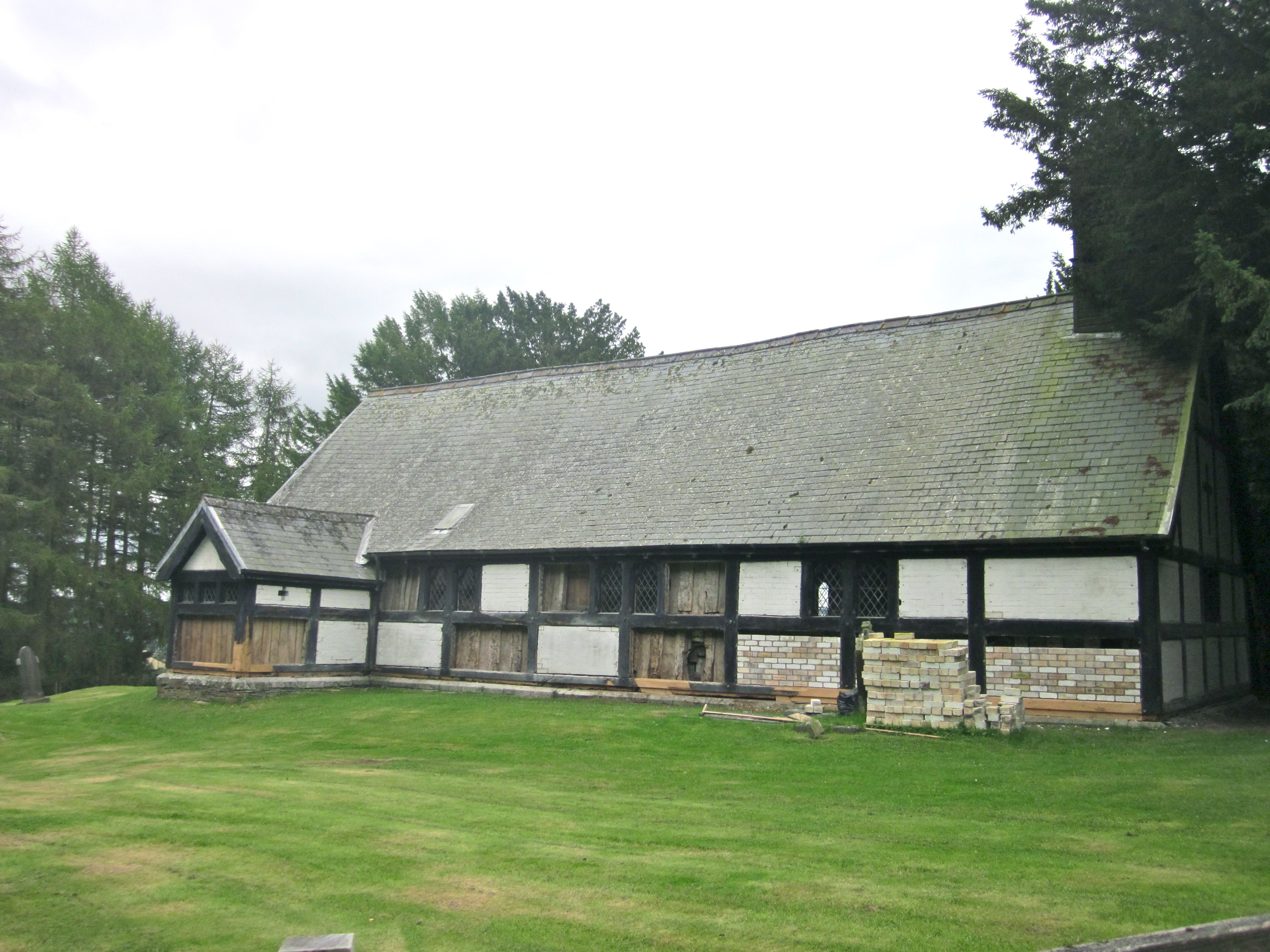
Stockton, Chirbury with Brompton
Stockton is a hamlet in Shropshire, England. It forms part of the civil parish of Chirbury with Brompton and is just on the English side of the Wales-England...

Wotherton
Wotherton is a hamlet in west Shropshire, close to the Welsh border. It is in the civil parish of Chirbury with Brompton. Its name, mentioned as a manor...

Nantcribba
Nantcribba is a township in the parish of Forden in the historic county of Montgomeryshire and now in Powys It is also the site of Nantcribba Castle...

Chirbury
Chirbury () is a village and former civil parish, now in the parish of Chirbury with Brompton, in the Shropshire district, in west Shropshire, England...
Trelystan
Trelystan is a remote parish and township on the border of the historic county of Montgomeryshire with Shropshire. Trelystan now forms part of the community...

Marton, Shropshire
Marton, also known as Marton-in-Chirbury, is a small village in Shropshire, England, 8 km (5.0 mi) southeast of Welshpool. There is another Marton in Shropshire...
Church of St Michael and All Angels, Forden
The Church of St Michael and All Angels is a church in Forden, Powys, Wales, located about half a mile to the west of the road from Welshpool to Montgomery...

Forden
Forden (Welsh: Ffordun) is a village near Welshpool in Powys, Wales, formerly in the historic county of Montgomeryshire. It forms part of the community...
Nearby Amenities
Located within 500m of 52.601727,-3.0940519Have you been to Stocktonwood?
Leave your review of Stocktonwood below (or comments, questions and feedback).