Bodwen

Settlement in Cornwall

England

Bodwen

Bus shelter, Lockengate
Bus shelter, Lockengate Credit: David Smith

The requested URL returned error: 429 Too Many Requests

If you have any feedback on the listing, please let us know in the comments section below.
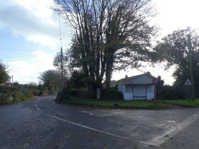
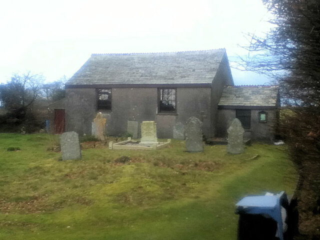
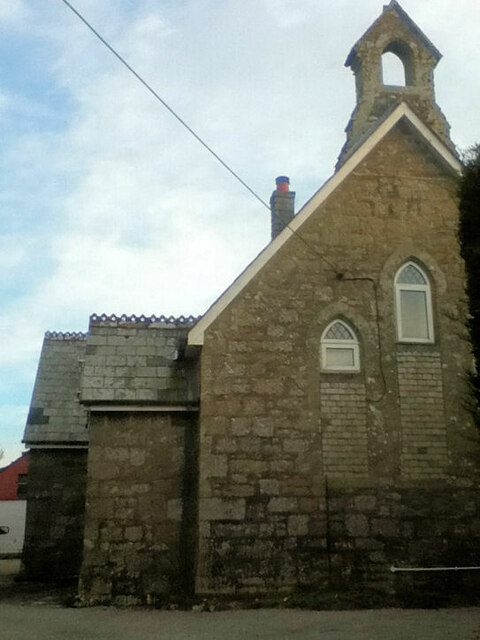
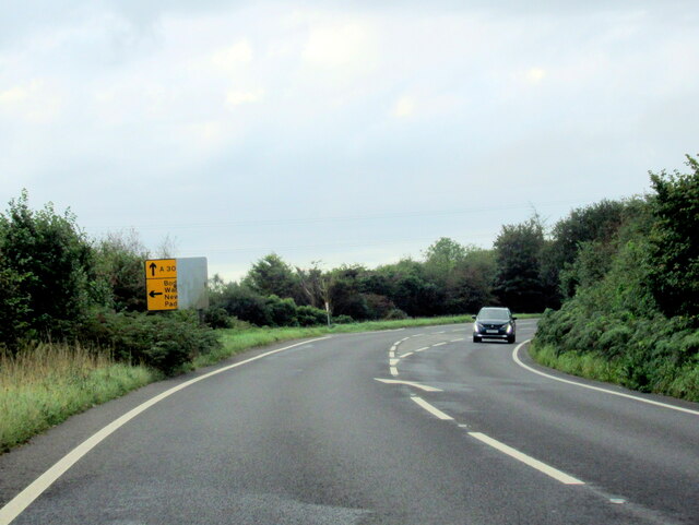
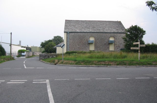
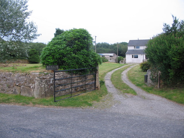
Bodwen Images

Images are sourced within 2km of 50.412217/-4.772608 or Grid Reference SX0360. Thanks to Geograph Open Source API. All images are credited.

Bus shelter, Lockengate
Innis Methodist Church
Lockengate Mission Church Now a private dwelling.
Lockengate Mission Church
Now a private dwelling.
The A391 heading south from A30, Bodmin
The A391 at Lockengate village sign
The A391 at Lockengate
Red Lane, Molinnis
Red Lane, Molinnis
Houses in Springfields, Molinnis
The Newquay branch from nr Criggan View off the road overbridge looking towards Par
The Newquay branch from nr Criggan
View off the road overbridge looking towards Par
Entrance to Lockengate
A391 south bound
A391 south bound
North Cornwall : A391 Roadside Roadside on the A391 in North Cornwall.
North Cornwall : A391 Roadside
Roadside on the A391 in North Cornwall.
Crossroads near Bodwen A view looking to the southwest across a crossroads near Bodwen. The buildings at left are the Roach Foods factory.
Crossroads near Bodwen
A view looking to the southwest across a crossroads near Bodwen. The buildings at left are the Roach Foods factory.
Carne Cottage A view looking north across Minorca Lane, towards Carne Cottage.
Carne Cottage
A view looking north across Minorca Lane, towards Carne Cottage.
Kernow Grain Store A view looking to the southwest towards the grain store just off the A391 near Newgate Farm.
Kernow Grain Store
A view looking to the southwest towards the grain store just off the A391 near Newgate Farm.
Bus shelter at Lockengate A view looking to the southwest towards a bus shelter at Lockengate. The A391 to St. Austell is on the right.
Bus shelter at Lockengate
A view looking to the southwest towards a bus shelter at Lockengate. The A391 to St. Austell is on the right.
Cattle at Savath The field is seen from the no through road off the A391 that leads to a number of farms all bearing the suffix -vath. This is the Viking word for "ford", but this seems the wrong part of the country. The area crossed by the lane is a square kilometre of low hill almost surrounded by marshy stream valleys, so "ford" is not inappropriate.
Cattle at Savath
The field is seen from the no through road off the A391 that leads to a number of farms all bearing the suffix -vath. This is the Viking word for "ford", but this seems the wrong part of the country. The area crossed by the lane is a square kilometre of low hill almost surrounded by marshy stream valleys, so "ford" is not inappropriate.
Cranesbill at Savath On the laneside at Savath Farm. Is this a pink Geranium pratense? Or something a bit more unusual?
Cranesbill at Savath
On the laneside at Savath Farm. Is this a pink Geranium pratense? Or something a bit more unusual?
Show me another place!

Bodwen is located at Grid Ref: SX0360 (Lat: 50.412217, Lng: -4.772608)

Unitary Authority: Cornwall

Police Authority: Devon and Cornwall

What 3 Words

///hush.rhino.relax. Near Bugle, Cornwall

Nearby Locations

Bodwen

Related Wikis

Bodwen

Bodwen is a hamlet in the civil parish of Lanlivery in mid Cornwall, England, United Kingdom. It is situated just over one mile (2 km) north-northeast...
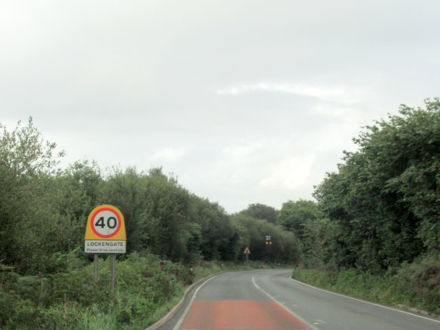
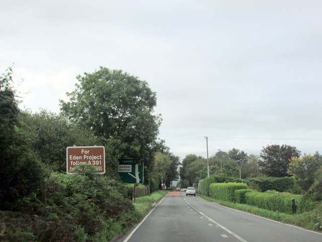
Lockengate

Lockengate is a hamlet in Cornwall, England, UK. It is two miles south of Lanivet on the A391 road. It is in the civil parish of Luxulyan There was once...

Higher Menadew

Higher Menadew (Cornish: Menedh Du, meaning black hill) is a farm west of Luxulyan in Cornwall, England. == See also == List of farms in Cornwall ��2...

Bilberry, Cornwall

Bilberry (Cornish: Krugbylla) is a village in mid Cornwall, England, United Kingdom. It is approximately five miles (8 km) north of St Austell on the A391...

Nearby Amenities

Located within 500m of 50.412217,-4.772608
Bus Stop
Bodwen
Bus: yes
Naptan AtcoCode: 0800COZ06413
Naptan Bearing: SE
Naptan CommonName: Bodwen
Naptan NaptanCode: corgajpw
Naptan Street: Unclassified
Naptan Verified: no
Public Transport: platform
Source: naptan_import
Lat/Long: 50.4128787/-4.7711627
Bus Stop
Bodwen
Bus: yes
Naptan AtcoCode: 0800COZ06414
Naptan Bearing: N
Naptan CommonName: Bodwen
Naptan NaptanCode: corgajta
Naptan Street: Unclassified
Naptan Verified: no
Public Transport: platform
Source: naptan_import
Lat/Long: 50.4128481/-4.7713158
Power: tower
Lat/Long: 50.4092216/-4.7746541
Power: tower
Lat/Long: 50.4090029/-4.7709366
Bowden Solar Farm
Brand: National Grid
Brand Wikidata: Q1465461
Operator: National Grid Electricity Distribution Plc
Operator Old: Western Power Distribution
Operator Wikidata: Q7988183
Owner: National Grid Electricity Distribution (South West) Plc
Owner Wikidata: Q114397866
Power: substation
Ref GB Wpd Site: 438171
Lat/Long: 50.4110046/-4.7745413
Bodwen
Name Kw: Boswynn
Place: hamlet
Lat/Long: 50.4126819/-4.7710183
The data included in this document is from www.openstreetmap.org. The data is made available under ODbL.

Have you been to Bodwen?

Leave your review of Bodwen below (or comments, questions and feedback).