Boduel

Settlement in Cornwall

England

Boduel

Trevelmond Methodist Church
Trevelmond Methodist Church Credit: Paul Barnett

The requested URL returned error: 429 Too Many Requests

If you have any feedback on the listing, please let us know in the comments section below.
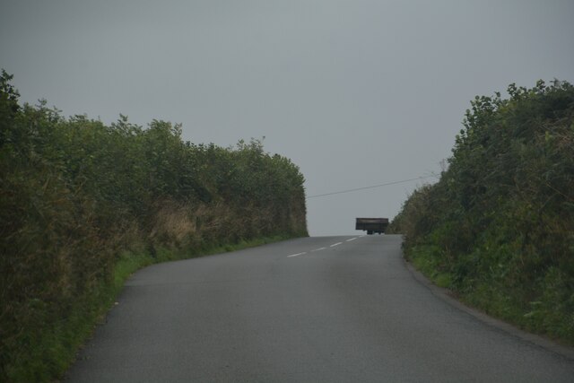
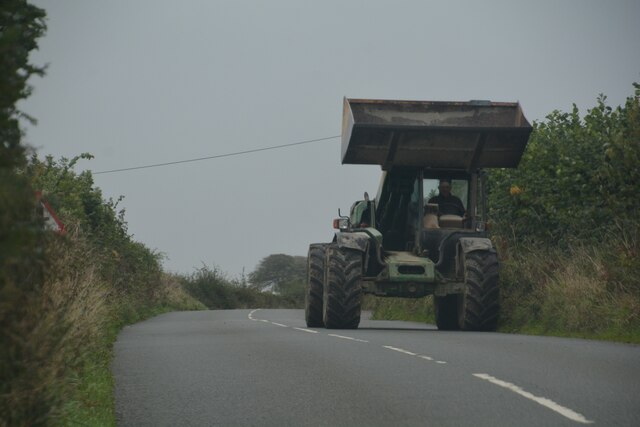
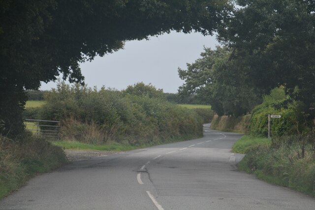
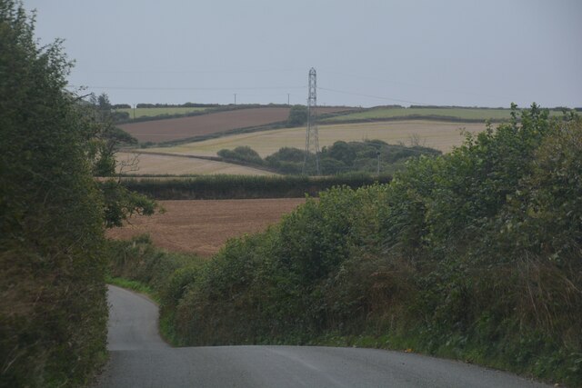
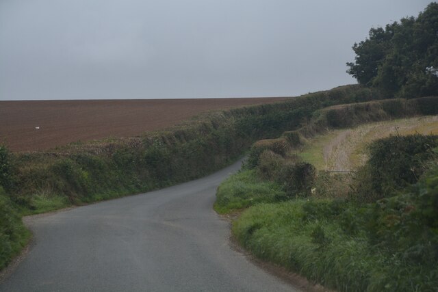
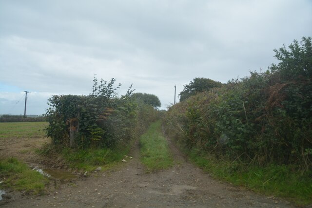
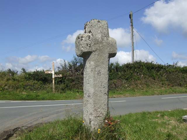
Boduel Images

Images are sourced within 2km of 50.439788/-4.5080794 or Grid Reference SX2263. Thanks to Geograph Open Source API. All images are credited.

Trevelmond Methodist Church
Dobwalls : Road A road heads out from Dobwalls.
Dobwalls : Road
A road heads out from Dobwalls.
Dobwalls : Road A small road leads to the houses.
Dobwalls : Road
A small road leads to the houses.
Dobwalls : Lantoom Way Looking along a residential road.
Dobwalls : Lantoom Way
Looking along a residential road.
Dobwalls : Gate A gate provides entrance into the field.
Dobwalls : Gate
A gate provides entrance into the field.
Dobwalls : Country Lane A small lane heads through the countryside.
Dobwalls : Country Lane
A small lane heads through the countryside.
Dobwalls : Country Lane Looking along a country lane.
Dobwalls : Country Lane
Looking along a country lane.
Dobwalls : Country Lane Looking along a road.
Dobwalls : Country Lane
Looking along a road.
Dobwalls : Country Road Looking along the road.
Dobwalls : Country Road
Looking along the road.
Dobwalls : Country Road A road heads through the Cornish countryside.
Dobwalls : Country Road
A road heads through the Cornish countryside.
Dobwalls : Country Lane A lane heads through the Cornish countryside.
Dobwalls : Country Lane
A lane heads through the Cornish countryside.
Duloe : Country Lane A lane heads through the Cornish countryside.
Duloe : Country Lane
A lane heads through the Cornish countryside.
Duloe : Track A track heads off from the road.
Duloe : Track
A track heads off from the road.
Moorswater Viaduct Distant view of the mainline railway viaduct taken from north of Dobwalls. The viaduct was built alongside the Cornwall Railway's original stone pillar and wooden trestle viaduct.  Some of the stone pillars are still standing.  The construction of the dual carriageway for the Liskeard by-pass can be seen in this 1981 photograph, middle distance on the left.
Moorswater Viaduct
Distant view of the mainline railway viaduct taken from north of Dobwalls. The viaduct was built alongside the Cornwall Railway's original stone pillar and wooden trestle viaduct. Some of the stone pillars are still standing. The construction of the dual carriageway for the Liskeard by-pass can be seen in this 1981 photograph, middle distance on the left.
The A38 between Looe Mills and Dobwalls This scene may change radically in the future when the Dobwalls bypass is built.
The A38 between Looe Mills and Dobwalls
This scene may change radically in the future when the Dobwalls bypass is built.
Industrial Units in the Valley Looking north from a footbridge over the railway line.
Industrial Units in the Valley
Looking north from a footbridge over the railway line.
Moorswater Viaduct
Moorswater Viaduct
Moorswater Viaduct from the South
Show me another place!

Boduel is located at Grid Ref: SX2263 (Lat: 50.439788, Lng: -4.5080794)

Unitary Authority: Cornwall

Police Authority: Devon and Cornwall

What 3 Words

///contoured.blazers.drivers. Near Dobwalls, Cornwall

Nearby Locations

Moorwell Wood Boduel

Related Wikis

Boduel

Boduel is a hamlet in east Cornwall, England, United Kingdom. It is situated west of Moorswater, one mile (1.6 km) west of Liskeard in the civil parish...

Dobwalls F.C.

Dobwalls Football Club (Cornish: Klub Pel-droes Fôs an Mogh) is a football club based in Dobwalls, Cornwall. They are currently members of the South West...

St Pinnock

St Pinnock (Cornish: Sen Pynnek) is a hamlet and civil parish in southeast Cornwall, England, United Kingdom, 3 miles (5 km) south-west of Liskeard. Other...

Trevelmond

Trevelmond is a hamlet in east Cornwall, England, United Kingdom. It is half a mile from St Pinnock. == References ==

Nearby Amenities

Located within 500m of 50.439788,-4.5080794
Scawns
Name Kw: Skawen
Place: hamlet
Lat/Long: 50.4365792/-4.5072028
The data included in this document is from www.openstreetmap.org. The data is made available under ODbL.

Have you been to Boduel?

Leave your review of Boduel below (or comments, questions and feedback).