Stanwell Moor
Settlement in Middlesex Spelthorne
England
Stanwell Moor

Stanwell Moor is a small village located in the county of Middlesex, England. It is situated approximately 15 miles west of central London and lies between the towns of Staines-upon-Thames and Heathrow Airport. The village is part of the larger Stanwell civil parish.
The history of Stanwell Moor dates back to the early 19th century when it was primarily an agricultural area. However, with the expansion of Heathrow Airport in the mid-20th century, the village underwent significant changes. Many farms were demolished to make way for the airport's infrastructure, and a large number of houses were built to accommodate the growing workforce.
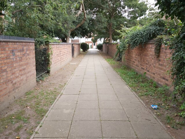
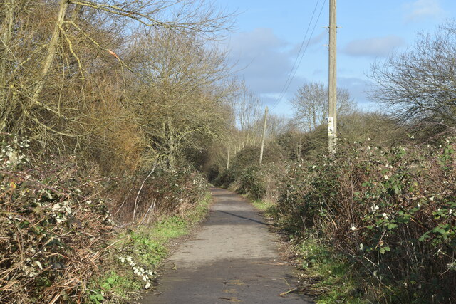
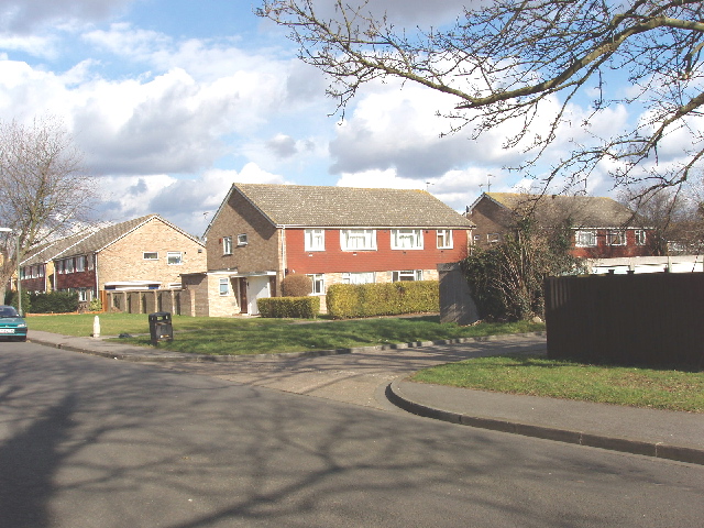
Today, Stanwell Moor is a quiet residential area with a population of around 1,500 people. The village is surrounded by open green spaces, including fields and woodland, providing a peaceful atmosphere for its residents. Despite its proximity to Heathrow Airport, the village is shielded from the noise and traffic associated with the airport, making it an attractive place to live.
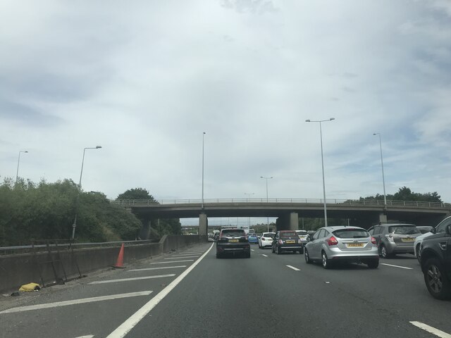
Stanwell Moor benefits from excellent transport links, with easy access to the M25 motorway and a nearby railway station at Staines-upon-Thames. The village is served by a few local amenities, including a primary school, a community center, and a small convenience store. However, residents often rely on the nearby towns for more extensive shopping and recreational facilities.
Overall, Stanwell Moor offers a suburban lifestyle with a rural feel, making it an appealing place for those seeking a peaceful and well-connected community within close proximity to London and Heathrow Airport.
If you have any feedback on the listing, please let us know in the comments section below.
Stanwell Moor Images
Images are sourced within 2km of 51.459284/-0.500114 or Grid Reference TQ0474. Thanks to Geograph Open Source API. All images are credited.


Stanwell Moor is located at Grid Ref: TQ0474 (Lat: 51.459284, Lng: -0.500114)
Administrative County: Surrey
District: Spelthorne
Police Authority: Surrey
What 3 Words
///gift.obey.shield. Near Colnbrook, Berkshire
Nearby Locations
Related Wikis
Stanwell Moor
Stanwell Moor is a village and moor in the Borough of Spelthorne, approximately 17 miles (27 km) west of central London. Historically part of the county...

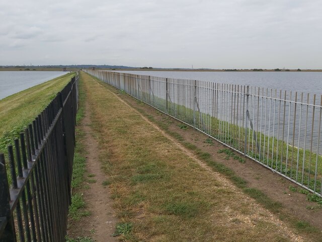
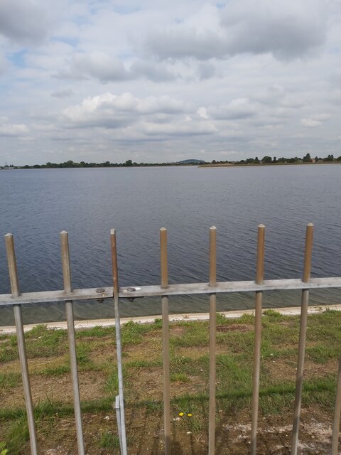
King George VI Reservoir
The King George VI Reservoir sits between Stanwell Moor and Staines upon Thames, south-west of Heathrow, England. It is between Staines Moor and a north...

Heathrow Airside Road Tunnel
The Heathrow Airside Road Tunnel (ART) is a tunnel at Heathrow Airport. It connects the airside roads around Terminals 1, 2 and 3 to those around Terminal...

Poyle Halt railway station
Poyle for Stanwell Moor Halt railway station was on the outskirts of London, on the now closed line of the Staines and West Drayton Railway. It opened...
Nearby Amenities
Located within 500m of 51.459284,-0.500114Have you been to Stanwell Moor?
Leave your review of Stanwell Moor below (or comments, questions and feedback).