Bodewryd
Settlement in Anglesey
Wales
Bodewryd

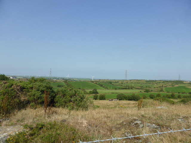
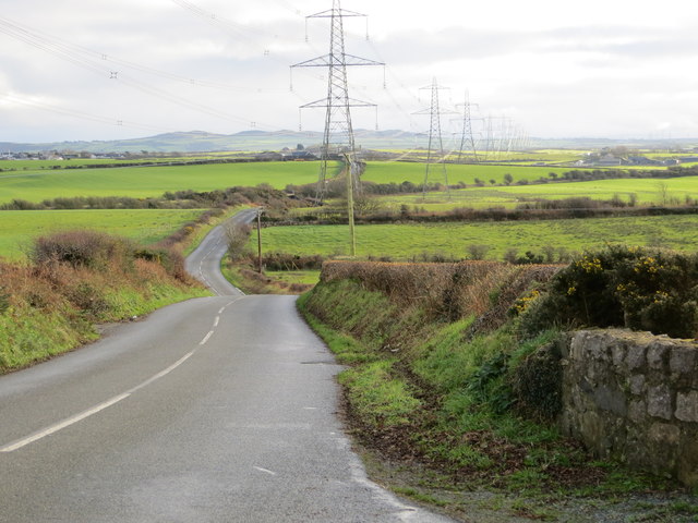
Bodewryd is a small village located on the picturesque Isle of Anglesey, off the northwest coast of Wales. It is situated in the Llanfihangel Ysgeifiog community, approximately 4 miles south of the town of Amlwch. The village is surrounded by rolling countryside and enjoys stunning views of the Irish Sea.
Bodewryd is known for its historical significance, particularly its ancient burial chamber, which dates back to the Neolithic period. The chamber, known as Bodowyr Burial Chamber, is a well-preserved example of a passage grave and attracts visitors interested in the area's rich history.
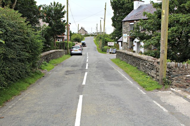
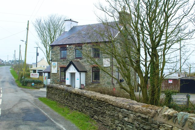
The village itself has a small, close-knit community and a charming rural atmosphere. The local economy is centered around agriculture, with many residents engaged in farming and livestock rearing. The surrounding fields and farmland are dotted with traditional stone farmhouses and barns, adding to the area's rustic charm.
There are limited amenities in the village, with a small shop and a church serving the local community. However, nearby Amlwch offers a wider range of services and facilities, including shops, supermarkets, and schools.
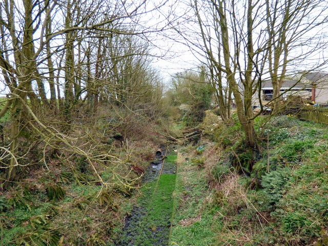
Bodewryd is an ideal destination for nature lovers and those seeking tranquility. The village and its surroundings offer ample opportunities for outdoor activities such as walking, cycling, and birdwatching. Visitors can explore the scenic coastal paths or take in the breathtaking views from nearby vantage points.
Overall, Bodewryd is a hidden gem on Anglesey, offering a peaceful retreat steeped in history and natural beauty.
If you have any feedback on the listing, please let us know in the comments section below.
Bodewryd Images
Images are sourced within 2km of 53.390307/-4.405282 or Grid Reference SH4090. Thanks to Geograph Open Source API. All images are credited.


Bodewryd is located at Grid Ref: SH4090 (Lat: 53.390307, Lng: -4.405282)
Unitary Authority: Isle of Anglesey
Police Authority: North Wales
What 3 Words
///saved.blemishes.posts. Near Cemaes Bay, Isle of Anglesey
Nearby Locations
Related Wikis
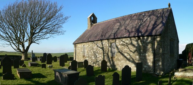
St Mary's Church, Bodewryd
St Mary's Church, Bodewryd (; Welsh: [bɔd'ɛʊrɪd]) is a small medieval church in the hamlet of Bodewryd, in Anglesey, north Wales. The date of construction...

St Peirio's Church, Rhosbeirio
St Peirio's Church is a small disused medieval church, in Rhosbeirio, Anglesey, north Wales. It is unclear when a church was first established on this...
Bodewryd
Bodewryd (; Welsh: [bɔd'ɛʊrɪd]; ) is a village in Anglesey, Wales, in the community of Mechell. == St Mary's Church == The village church is St Mary's...

Penmorwdd
Penmorwdd is a hamlet in the community of Mechell, Anglesey, Wales, which is 142.4 miles (229.1 km) from Cardiff and 223.1 miles (359.1 km) from London...
Nearby Amenities
Located within 500m of 53.390307,-4.405282Have you been to Bodewryd?
Leave your review of Bodewryd below (or comments, questions and feedback).