Bodenham Moor

Settlement in Herefordshire

England

Bodenham Moor

Brockington Hall Golf Club The tea-rooms at the entrance to the golf club.
Brockington Hall Golf Club Credit: Eirian Evans

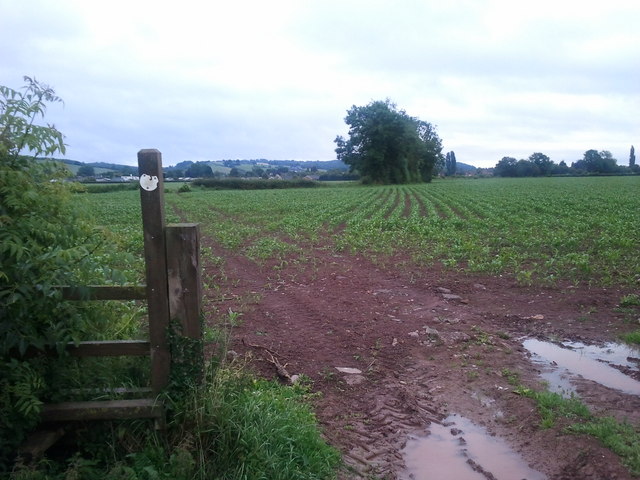
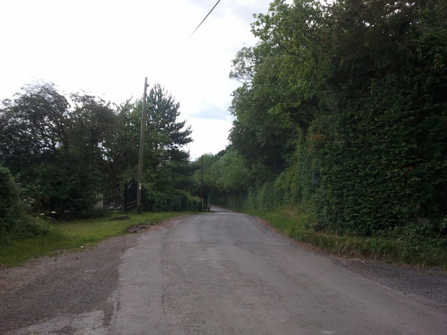
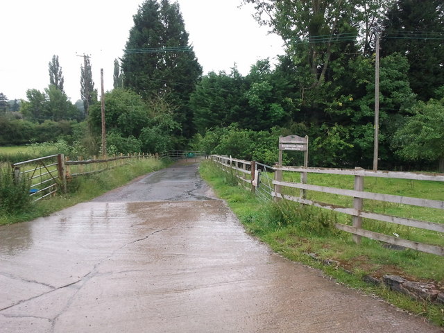
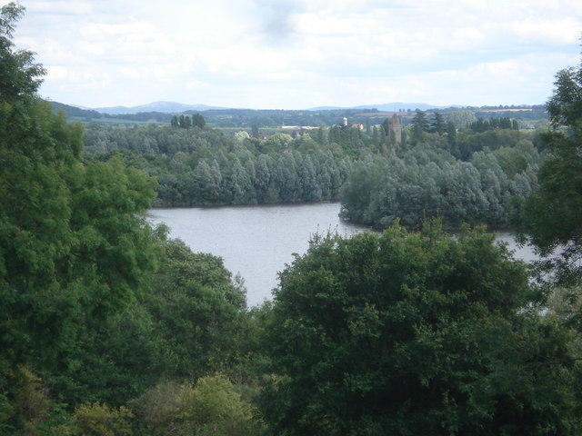
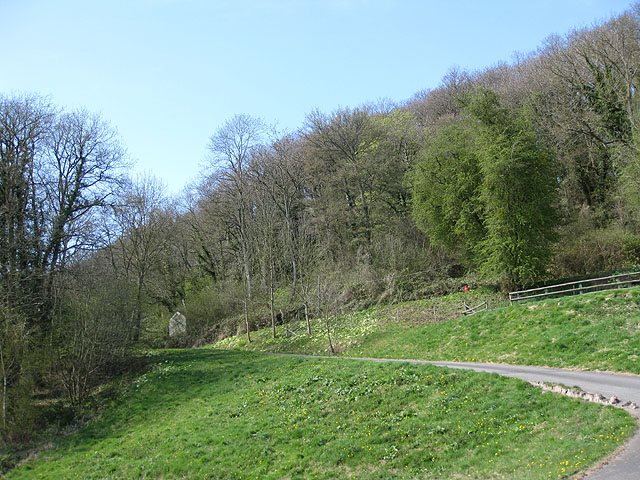
Bodenham Moor is a picturesque area located in the county of Herefordshire, England. Situated in the heart of the West Midlands, it covers an expansive area of approximately 2,500 acres. The moor is known for its stunning natural beauty, with rolling hills, lush green meadows, and an abundance of wildlife.

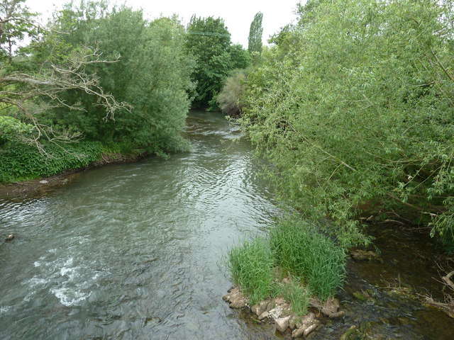
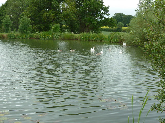
The landscape of Bodenham Moor is characterized by its diverse habitats, including wetlands, heathland, and ancient woodland. This variety of ecosystems provides a haven for a wide range of plant and animal species. Visitors to the moor can expect to see rare and endangered species, such as curlews, lapwings, and marsh fritillary butterflies.

In addition to its natural beauty, Bodenham Moor also holds significant historical and cultural importance. The area has evidence of human activity dating back thousands of years, with archaeological finds including Bronze Age burial mounds and Iron Age hillforts. These ancient sites provide a glimpse into the rich history of the area and offer a fascinating insight into the lives of its past inhabitants.

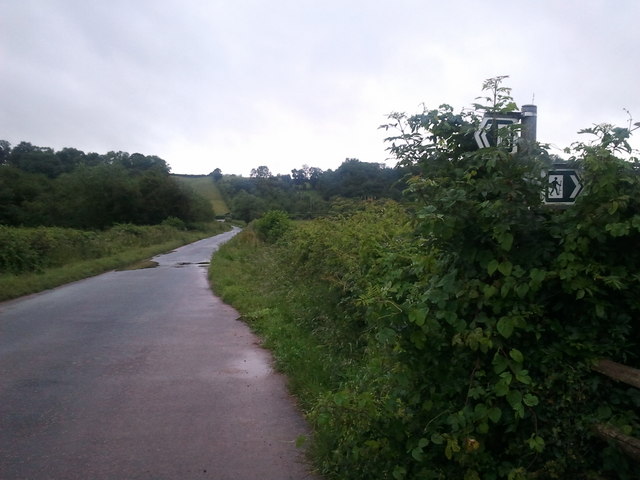
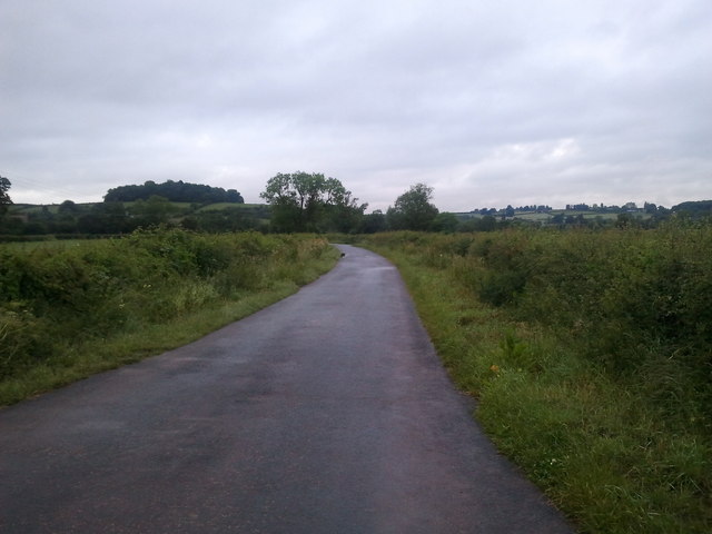
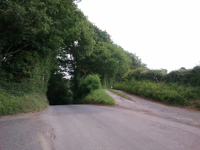
For outdoor enthusiasts, Bodenham Moor offers a wealth of recreational activities. There are numerous walking trails and cycling routes, allowing visitors to explore the stunning scenery at their own pace. The moor is also a popular spot for birdwatching and nature photography, with its tranquil surroundings providing the perfect backdrop for capturing unique wildlife moments.

Overall, Bodenham Moor is a captivating destination for those seeking a peaceful retreat in the heart of Herefordshire. Its natural beauty, rich history, and abundance of recreational activities make it a must-visit location for nature lovers and history enthusiasts alike.

If you have any feedback on the listing, please let us know in the comments section below.

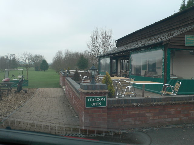
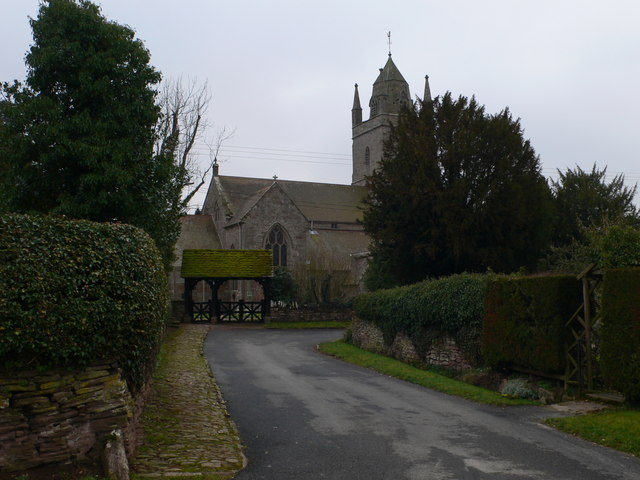
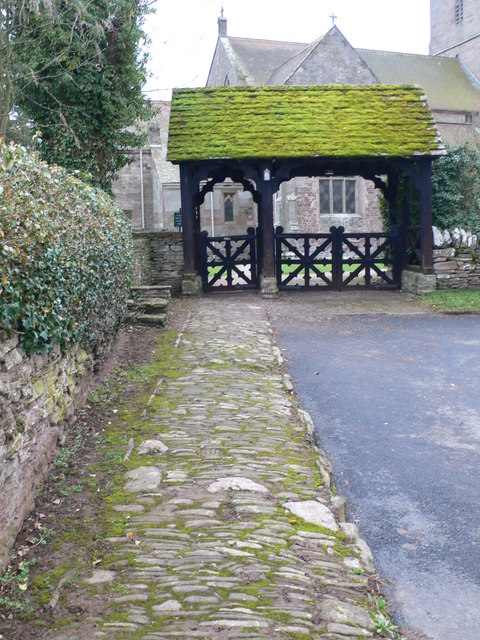
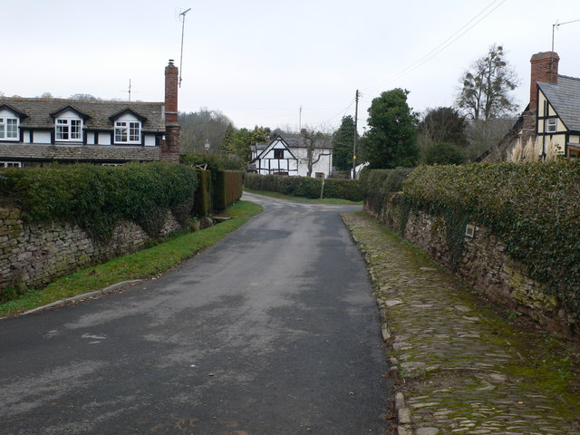
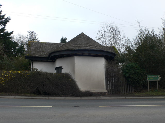
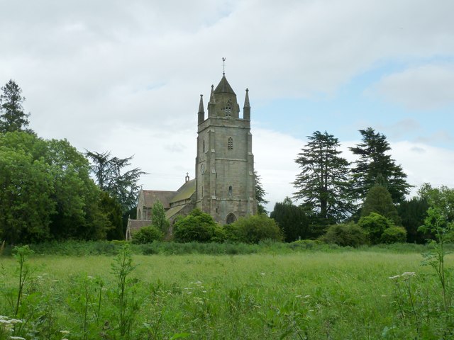
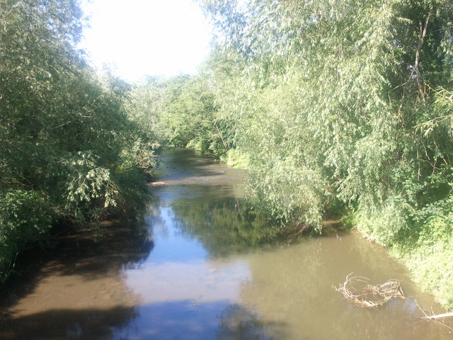
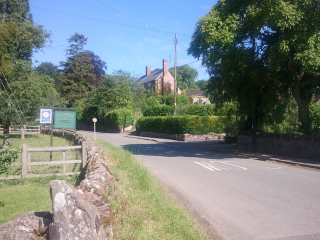
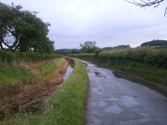
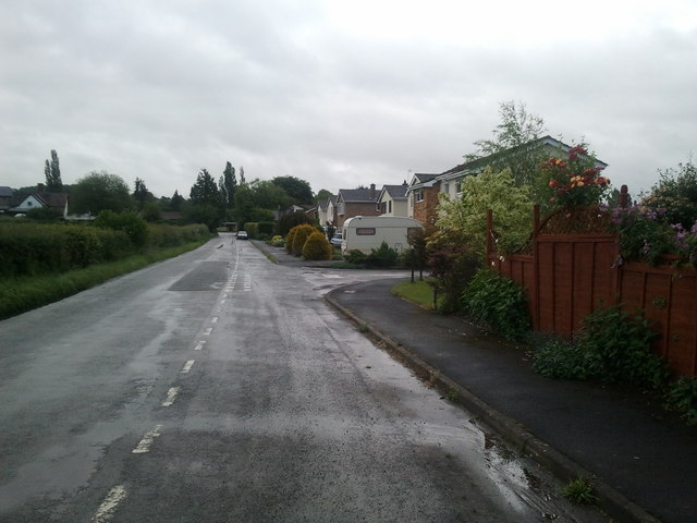
Bodenham Moor Images

Images are sourced within 2km of 52.15165/-2.6669529 or Grid Reference SO5450. Thanks to Geograph Open Source API. All images are credited.

Brockington Hall Golf Club The tea-rooms at the entrance to the golf club.
Brockington Hall Golf Club
The tea-rooms at the entrance to the golf club.
St Michael & All Angels, Bodenham The parish church of St Michael and All Angels at Bodenham is set in a beautiful location beside the peaceful River Lugg. The church is primarily 14th century, in the Decorated Gothic style. The church consists of a chancel, a 3-bay nave with clerestory, south and north aisles, and a solid west tower on a square plan topped by a truncated lantern spire.
St Michael & All Angels, Bodenham
The parish church of St Michael and All Angels at Bodenham is set in a beautiful location beside the peaceful River Lugg. The church is primarily 14th century, in the Decorated Gothic style. The church consists of a chancel, a 3-bay nave with clerestory, south and north aisles, and a solid west tower on a square plan topped by a truncated lantern spire.
Path to St Michael's  Ancient stone pavement leading to St Michael's & All Angels, Bodenham
Path to St Michael's
Ancient stone pavement leading to St Michael's & All Angels, Bodenham
Bodenham, Church Lane Looking back towards the village from the church.
Bodenham, Church Lane
Looking back towards the village from the church.
Former toll house on the A417 near Saffron's Cross
St Michael's and All Angels church Bodenham
River Lugg at Bodenham
Fishing lake near Little Berrington
River Lugg viewed from Bodenham Bridge
House at Bodenham, viewed from the bridge
Lane and drain at Bodenham, looking west
Houses in Bodenham, looking east towards England's Gate
Very wet public footpath near Bodenham
Footpath crossing lane, near Bodenham
Lane near Bodenham
Lane near Bodenham
Steep hill to the left, bridleway to the right
Lane to Marden
Lane to Marden
Track to Bodenham Lakes nature reserve
Show me another place!

Bodenham Moor is located at Grid Ref: SO5450 (Lat: 52.15165, Lng: -2.6669529)

Unitary Authority: County of Herefordshire

Police Authority: West Mercia

What 3 Words

///marriage.resonated.paving. Near Bodenham, Herefordshire

Nearby Locations

Bodenham Moor

Related Wikis

Bodenham

Bodenham is a village and civil parish in Herefordshire, England, and on a bend in the River Lugg, about seven miles south of Leominster. According to...

Cornett, Herefordshire

Cornett is a hamlet in the English county of Herefordshire. It lies on the main A417 road southeast of the town of Leominster. == External links == Map...

Hampton Court Castle

Hampton Court Castle, also known as Hampton Court, is a castellated country house in the English county of Herefordshire. The house is in the parish of...

Amberley, Herefordshire

Amberley is a settlement in the civil parish of Marden, in Herefordshire, England. Recorded in the Domesday Book, it was in the hundred of Tornelaus. In...

Dinmore railway station (England)

Dinmore railway station served the villages of Bodenham and Hope under Dinmore, Herefordshire, England between 1853 and 1958. == History == The main line...

Dinmore Tunnel

Dinmore Tunnel is the name given to two railway tunnels located on the former Shrewsbury and Hereford Railway (S&HR) line between Hereford station and...

Dinmore Hill

Dinmore Hill rises steeply above the River Lugg in Herefordshire, England and is effectively the prominent eastern ridge of an area of high ground which...

Marden, Herefordshire

Marden is a village and civil parish in the English county of Herefordshire. Marden village is approximately 7 miles (11 km) due north of the city of Hereford...

Nearby Amenities

Located within 500m of 52.15165,-2.6669529
Bus Stop
Orchard Close
Naptan AtcoCode: 2090A108700
Naptan Bearing: S
Naptan CommonName: Orchard Close
Naptan Indicator: opp
Naptan Landmark: Bus Shelter
Naptan NaptanCode: heradmtm
Naptan Street: Bodenham Road
Naptan Verified: no
Source: naptan_import
Lat/Long: 52.1517607/-2.6668702
Bus Stop
Orchard Close
Naptan AtcoCode: 2090A18611
Naptan Bearing: N
Naptan BusStopType: CUS
Naptan CommonName: Orchard Close
Naptan Indicator: adj
Naptan Landmark: Bus Shelter
Naptan NaptanCode: heragwpd
Naptan Street: Bodenham Road
Naptan Verified: no
Source: naptan_import
Lat/Long: 52.1518169/-2.6671323
Doctors
Lat/Long: 52.1549656/-2.6678012
Place Of Worship
Bodenham Christian Fellowship
Religion: christian
Lat/Long: 52.1516172/-2.666209
Bodenham Moor
Place: village
Lat/Long: 52.1517886/-2.6675154
Artist Name: Graeme Mitcheson
Artwork Type: statue
Tourism: artwork
Wikidata: Q59357553
Lat/Long: 52.1545433/-2.6674428
Generator Method: photovoltaic
Generator Output Electricity: yes
Generator Source: solar
Generator Type: solar_photovoltaic_panel
Location: roof
Power: generator
Lat/Long: 52.1518236/-2.6597375
Generator Method: photovoltaic
Generator Output Electricity: yes
Generator Source: solar
Generator Type: solar_photovoltaic_panel
Location: roof
Power: generator
Lat/Long: 52.1531401/-2.6693773
Generator Method: photovoltaic
Generator Output Electricity: yes
Generator Source: solar
Generator Type: solar_photovoltaic_panel
Location: roof
Power: generator
Lat/Long: 52.1552605/-2.6689361
Give Way
Source: bing
Lat/Long: 52.1551667/-2.6672611
Give Way
Source: bing
Lat/Long: 52.1548393/-2.6672825
Give Way
Source: bing
Lat/Long: 52.1548623/-2.6680624
Give Way
Source: bing
Lat/Long: 52.1547776/-2.6680161
Generator Method: photovoltaic
Generator Output Electricity: yes
Generator Source: solar
Generator Type: solar_photovoltaic_panel
Location: roof
Power: generator
Lat/Long: 52.1516129/-2.6658234
Generator Method: photovoltaic
Generator Output Electricity: yes
Generator Source: solar
Generator Type: solar_photovoltaic_panel
Location: roof
Power: generator
Lat/Long: 52.1515076/-2.6657724
Post Box
Lat/Long: 52.1524427/-2.667257
Power: pole
Lat/Long: 52.1535088/-2.6683769
Power: pole
Lat/Long: 52.1529805/-2.6683903
Power: pole
Lat/Long: 52.1521313/-2.6688597
Power: pole
Lat/Long: 52.1515026/-2.6690126
Power: pole
Lat/Long: 52.1508312/-2.6692915
Power: pole
Lat/Long: 52.1504609/-2.6706728
Power: pole
Lat/Long: 52.1500972/-2.6719496
Power: pole
Lat/Long: 52.1497779/-2.673119
Power: pole
Lat/Long: 52.1474046/-2.6654533
Power: pole
Lat/Long: 52.1478555/-2.6667219
Power: pole
Lat/Long: 52.147872/-2.6674274
Power: pole
Lat/Long: 52.1480448/-2.6695704
Power: pole
Lat/Long: 52.1481683/-2.6711851
Barrier: stile
Lat/Long: 52.1536817/-2.6684058
Note: FP entrance not visible from road.
Lat/Long: 52.1519799/-2.6672772
The data included in this document is from www.openstreetmap.org. The data is made available under ODbL.

Have you been to Bodenham Moor?

Leave your review of Bodenham Moor below (or comments, questions and feedback).