Bodelwyddan
Settlement in Flintshire
Wales
Bodelwyddan
Bodelwyddan is a small village located in the county of Flintshire, Wales. Situated in the northeast part of the country, Bodelwyddan is approximately 5 miles south of the coastal town of Rhyl and 12 miles southwest of the city of Prestatyn. The village is nestled in the picturesque Vale of Clwyd and is surrounded by rolling hills and lush countryside.
Bodelwyddan is known for its rich history and cultural heritage. One of its most prominent landmarks is Bodelwyddan Castle, a Grade II listed building that dates back to the 15th century. The castle is now a popular tourist attraction and houses a museum and art gallery, showcasing a collection of artifacts and artworks.
The village itself is relatively small, with a population of around 1,500 residents. It offers a peaceful and tranquil atmosphere, making it an ideal place for those seeking a quiet and rural lifestyle. Bodelwyddan has a close-knit community and is known for its friendly and welcoming residents.
While Bodelwyddan is primarily a residential area, it offers a range of amenities to its residents. These include a primary school, a community center, a church, and a few local shops and businesses. The village is well-connected to other parts of Flintshire and the surrounding areas by road, with easy access to the A55 North Wales Expressway.
Overall, Bodelwyddan is a charming village with a rich history, stunning natural surroundings, and a tight-knit community, making it a desirable place to live or visit for those seeking a peaceful and picturesque location in Flintshire.
If you have any feedback on the listing, please let us know in the comments section below.
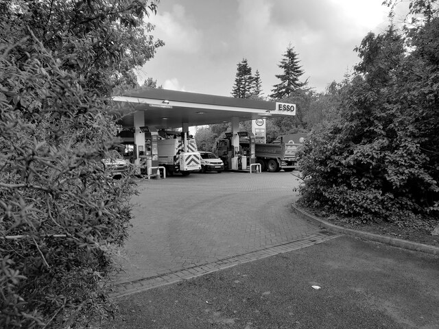
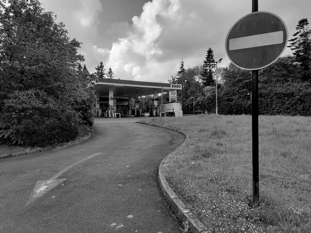
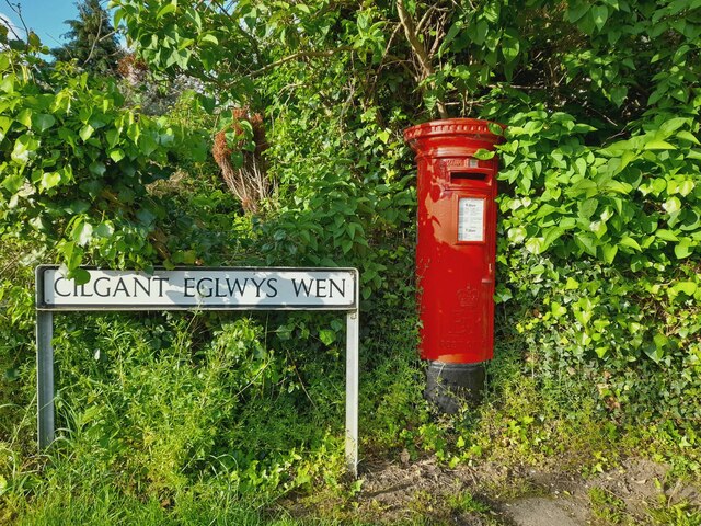
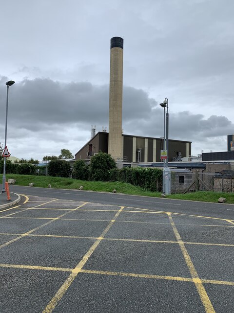
Bodelwyddan Images
Images are sourced within 2km of 53.26254/-3.5006563 or Grid Reference SJ0075. Thanks to Geograph Open Source API. All images are credited.


Bodelwyddan is located at Grid Ref: SJ0075 (Lat: 53.26254, Lng: -3.5006563)
Unitary Authority: Denbighshire
Police Authority: North Wales
What 3 Words
///snail.float.drifters. Near Bodelwyddan, Denbighshire
Nearby Locations
Related Wikis
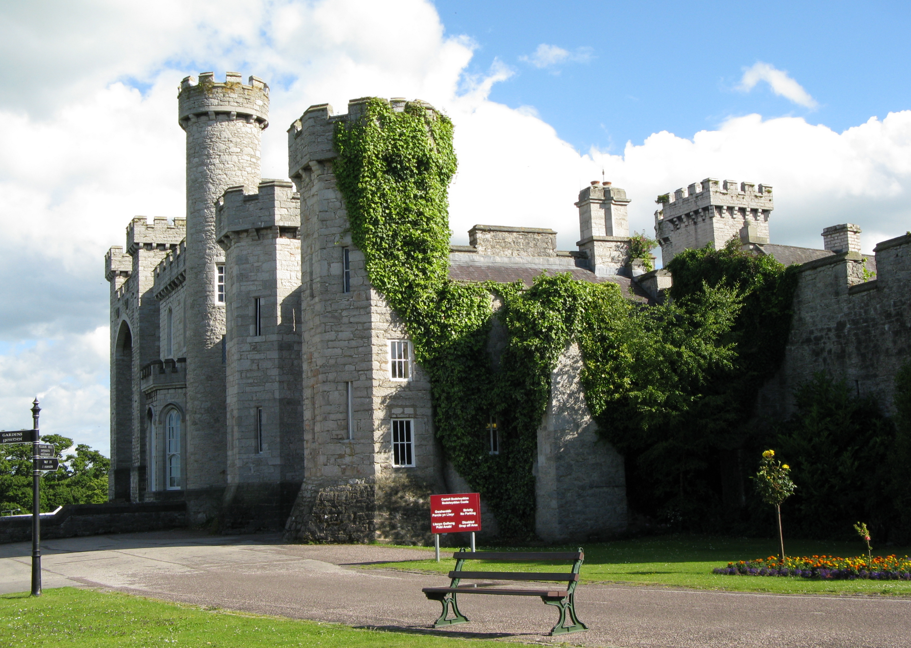
Bodelwyddan Castle
Bodelwyddan Castle (Welsh: Castell Bodelwyddan), close to the village of Bodelwyddan, near Rhyl, Denbighshire in Wales, was built around 1460 by the Humphreys...

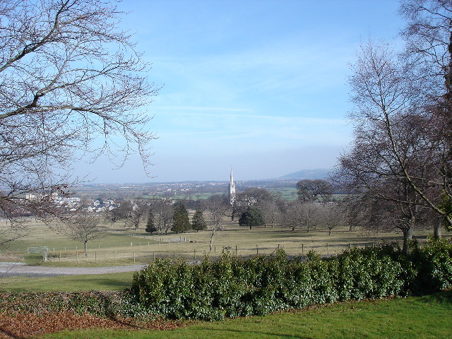
Marble Church, Bodelwyddan
St Margaret's Church, Bodelwyddan, nicknamed the Marble Church, is a Decorated Gothic Style parish church in the lower Vale of Clwyd in Denbighshire, Wales...
Bodelwyddan
Bodelwyddan (Welsh pronunciation: [bɔdɛlˈwəðan]) is a village, electoral ward and community in Denbighshire, Wales, approximately 5 miles (8 km) South...
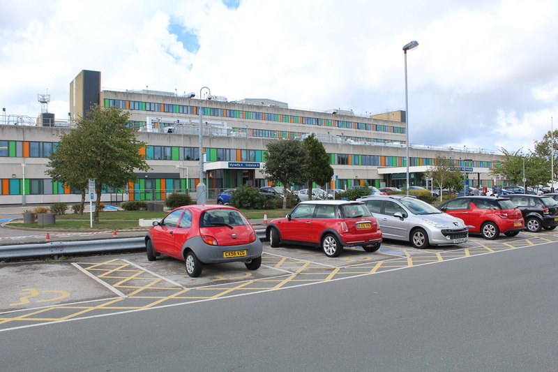
Glan Clwyd Hospital
Glan Clwyd Hospital (Welsh: Ysbyty Glan Clwyd) is a hospital in Bodelwyddan, Denbighshire, Wales. It is managed by the Betsi Cadwaladr University Health...
Related Videos
Dwylig Isa Holiday Cottages
Dwylig Isa Holiday Cottages Self contained holiday cottage in quiet countryside setting in between the quaint little village of ...
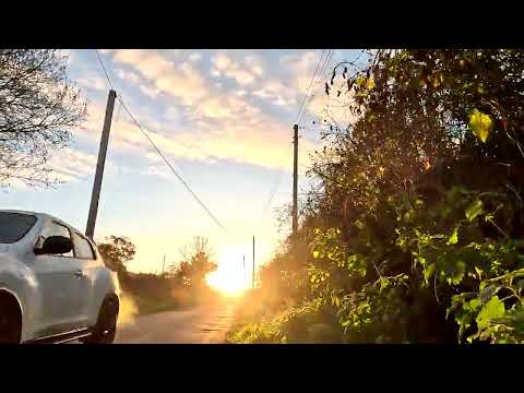
Walking boots on for GOLDEN Autumn WALK in STUNNING North Wales
Early morning walk from Rhuddlan to Dyserth in stunning Denbighshire #walking #denbighshire #earlymorning #rambling ...
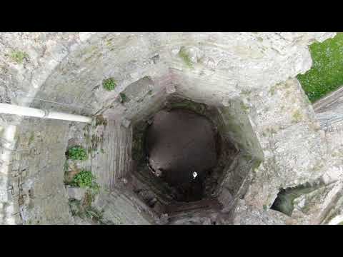
Rhuddlan Castle
Rhuddlan Castle captured during lockdown.
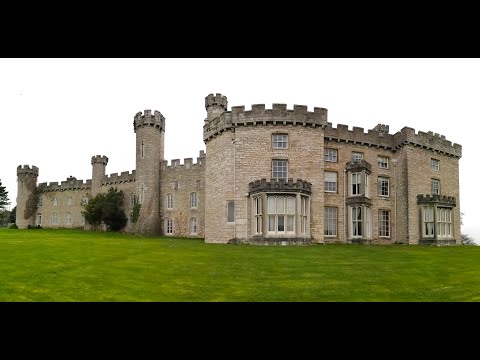
Bodelwyddan Castle Break April 2022
Hi Everybody In this video we take you on a tour round Bodelwyddan Castle where we stayed from 11th to 15th April this year.
Nearby Amenities
Located within 500m of 53.26254,-3.5006563Have you been to Bodelwyddan?
Leave your review of Bodelwyddan below (or comments, questions and feedback).