Bockleton

Settlement in Worcestershire Malvern Hills

England

Bockleton

Old windpump at Kyre Green This old windpump is situated to the south of Kyre Green Farm.
Old windpump at Kyre Green Credit: Philip Halling

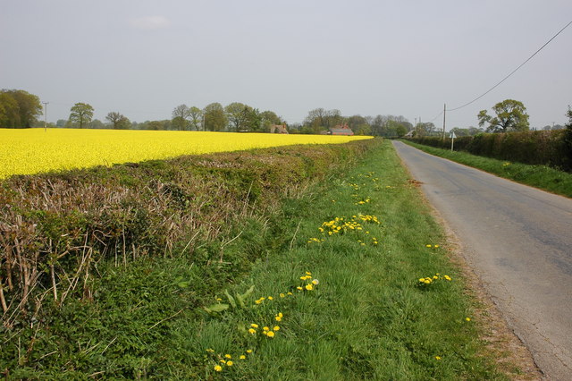
Bockleton is a small village located in the county of Worcestershire, England. Situated in the West Midlands region, it is nestled in the Teme Valley, surrounded by picturesque countryside. The village is part of the Malvern Hills District, and lies approximately 5 miles south-east of Tenbury Wells and 13 miles north-west of Worcester.

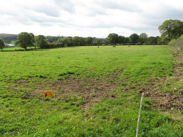
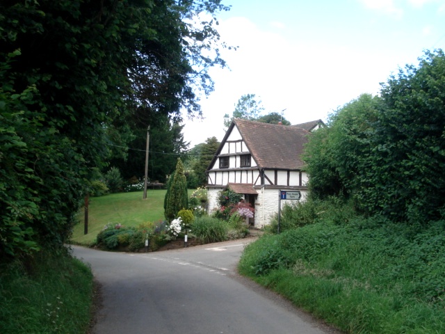
With a population of around 200 residents, Bockleton maintains a close-knit community atmosphere. The village is characterized by its charming rural setting, featuring a mix of traditional cottages, farmhouses, and newer residential developments. The local architecture reflects the area's agricultural heritage, with many buildings boasting timber frames and thatched roofs.

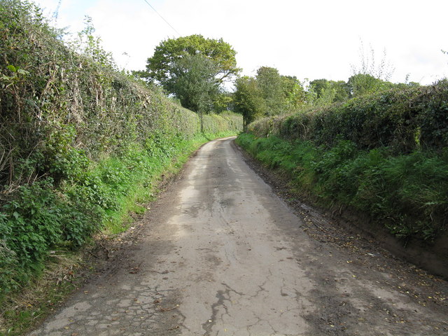
Bockleton offers basic amenities to its residents, including a village hall and a small church, St. Michael and All Angels. The church, dating back to the 12th century, is a prominent landmark and adds to the village's historical charm. The surrounding landscape provides ample opportunities for outdoor activities, such as walking, cycling, and horse riding.

Despite its small size, Bockleton benefits from its proximity to larger towns and cities. Tenbury Wells, a market town, offers a wider range of amenities, including shops, schools, and healthcare facilities. Worcester, a historic city, is easily accessible and provides further opportunities for employment, shopping, and entertainment.

Overall, Bockleton is a tranquil and picturesque village, offering residents a peaceful rural lifestyle while remaining conveniently connected to nearby towns and cities.

If you have any feedback on the listing, please let us know in the comments section below.
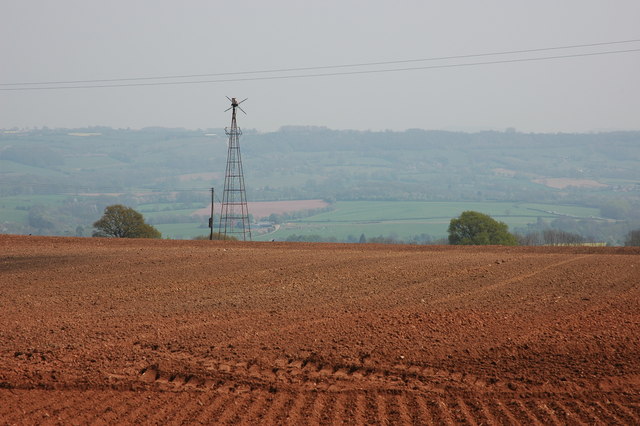
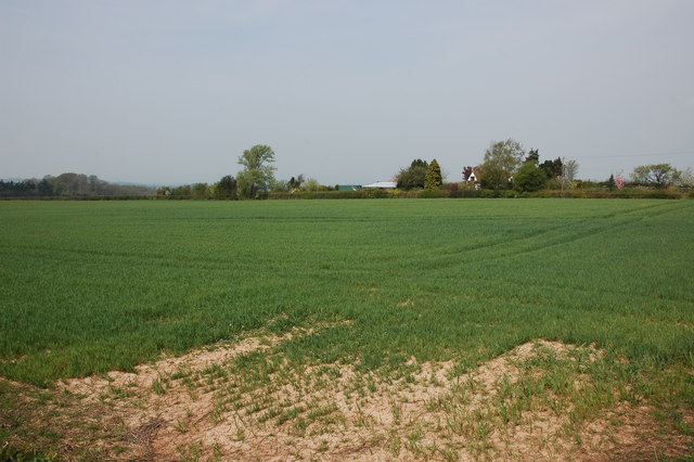
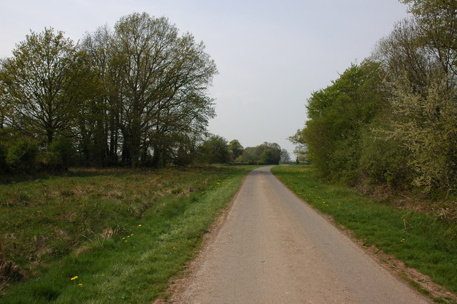
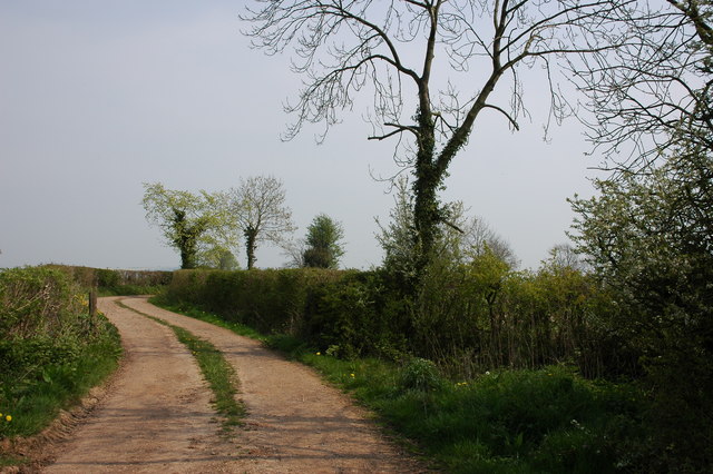
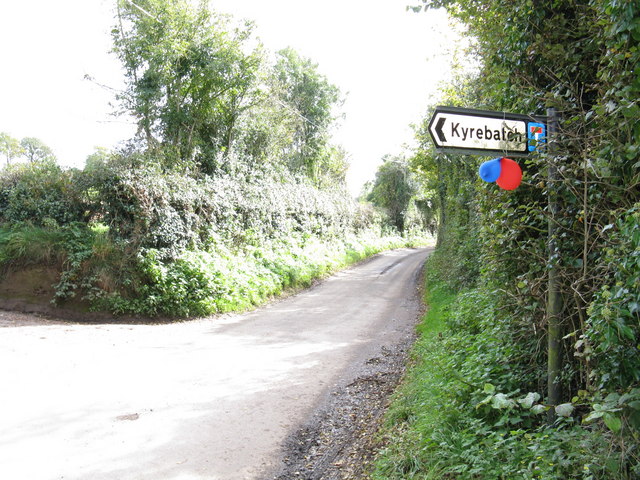
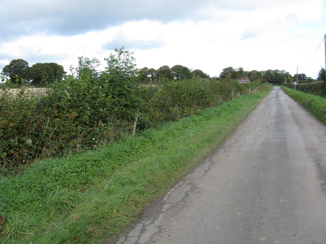
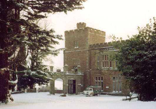
Bockleton Images

Images are sourced within 2km of 52.250569/-2.597681 or Grid Reference SO5961. Thanks to Geograph Open Source API. All images are credited.

Old windpump at Kyre Green This old windpump is situated to the south of Kyre Green Farm.
Old windpump at Kyre Green
This old windpump is situated to the south of Kyre Green Farm.
Field at Kyre Green
Field at Kyre Green
Road across Salling's Common
Track and bridleway to Garmsley
Road to Kyre Viewed from near the crossroads in Hampton Charles.
Road to Kyre
Viewed from near the crossroads in Hampton Charles.
Junction of Kyrebatch Farm entrance road Where the road meets the Thornbury-Kyre lane there is a finger post. The large sign under the finger post 'Thornbury' was the only place in the area where I saw a Thornbury village sign, yet here we are over a mile north of the village and with no houses nearby. I assumed that Thornbury was well spread out.
Junction of Kyrebatch Farm entrance road
Where the road meets the Thornbury-Kyre lane there is a finger post. The large sign under the finger post 'Thornbury' was the only place in the area where I saw a Thornbury village sign, yet here we are over a mile north of the village and with no houses nearby. I assumed that Thornbury was well spread out.
The lane to Kyrebatch Farm
Grazing behind the electric fence Cattle graze in the distance in this large field at the Kyrebatch lane junction.
Grazing behind the electric fence
Cattle graze in the distance in this large field at the Kyrebatch lane junction.
Party time at Kyrebatch junction Rather deflated balloons adorn the sign to Kyrebatch farm.  Hope the party was a good one!
Party time at Kyrebatch junction
Rather deflated balloons adorn the sign to Kyrebatch farm. Hope the party was a good one!
The Birches Farm
The Birches Farm
Guard dog at The Birches Farm The entrance to Birches Farm and the associated lane junction, with a black labrador rapidly advancing.  I staged a dignified withdrawal - quickly.
Guard dog at The Birches Farm
The entrance to Birches Farm and the associated lane junction, with a black labrador rapidly advancing. I staged a dignified withdrawal - quickly.
Straight to The Pound The Pound being a location just west of this lane.
Straight to The Pound
The Pound being a location just west of this lane.
Heath Farm crossroads
Sheep at Heath Farm crossroads
Orchard, Heath Farm Not shown on the maps, although quite old.
Orchard, Heath Farm
Not shown on the maps, although quite old.
Salling's Common One of the long thin commons found around the Bromyard area. Grazing probably ceased a long time ago as the common is turning into woodland.
I did not recognise the place, but I used to be a regular visitor here, but only during the night - this was the route I used to get to the dances at Kyre. Cycling had a stigma then, so I was careful to hide the bike.
Salling's Common
One of the long thin commons found around the Bromyard area. Grazing probably ceased a long time ago as the common is turning into woodland. I did not recognise the place, but I used to be a regular visitor here, but only during the night - this was the route I used to get to the dances at Kyre. Cycling had a stigma then, so I was careful to hide the bike.
Salling's Common Round bales parked up on the common.
Salling's Common
Round bales parked up on the common.
Winter crops A deep green, testament to the nutritious powers of artificial fertilisers. A flat field on the plateau north of Bromyard with a sharp drop into Kyre Batch beyond.
The Malvern Hills can be seen in the far background.
Winter crops
A deep green, testament to the nutritious powers of artificial fertilisers. A flat field on the plateau north of Bromyard with a sharp drop into Kyre Batch beyond. The Malvern Hills can be seen in the far background.
Show me another place!

Bockleton is located at Grid Ref: SO5961 (Lat: 52.250569, Lng: -2.597681)

Administrative County: Worcestershire

District: Malvern Hills

Police Authority: West Mercia

What 3 Words

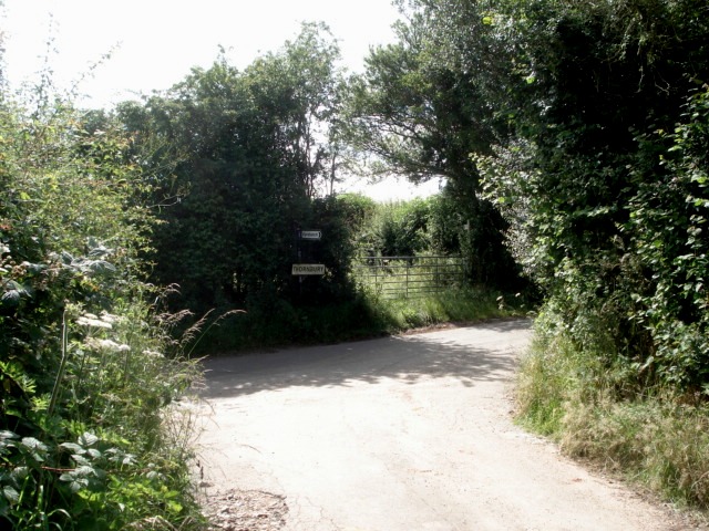
///genius.lunging.riots. Near Thornbury, Herefordshire

Nearby Locations

Middle Common Bockleton

Related Wikis

Bockleton

Bockleton is a small village and civil parish (with a shared parish council with neighbouring Stoke Bliss and Kyre) in the Malvern Hills district of Worcestershire...

Hampton Charles, Herefordshire

Hampton Charles is a dispersed hamlet and civil parish in Herefordshire, England, and approximately 5 miles (8 km) north-west from Bromyard. The Herefordshire...

Hatfield and Newhampton

Hatfield and Newhampton is a civil parish in the county of Herefordshire, England, and is 11 miles (18 km) north from the city and county town of Hereford...

Hatfield, Herefordshire

Hatfield is a village and former civil parish, now in the parish of Hatfield and Newhampton, in the county of Herefordshire, England. In 1961 the parish...

Fencote railway station

Fencote railway station was a railway station on the Worcester, Bromyard and Leominster Railway in Hatfield and Newhampton, Herefordshire, England. �...

Laysters

Laysters is a civil parish in north-east Herefordshire, England, and approximately 15 miles (20 km) north-northeast from the city and county town of Hereford...

Pudleston

Pudleston (or Pudlestone), is a small village and civil parish (alternatively Pudleston-cum-Whyle), in the county of Herefordshire, England, and is 13...

Thornbury, Herefordshire

Thornbury is a village in Herefordshire, England, 5.5 km (3.4 mi) north of the town of Bromyard. The population of the village as taken at the 2011 census...

Nearby Amenities

Located within 500m of 52.250569,-2.597681
Bockleton
Created By: Potlatch 0.8
Place: village
Wikidata: Q582315
Lat/Long: 52.2503338/-2.598434
Bus Stop
Bockleton Church
Naptan AtcoCode: 2000G651004
Naptan Bearing: E
Naptan BusStopType: CUS
Naptan CommonName: Bockleton Church
Naptan Indicator: Adj
Naptan Landmark: Village Road
Naptan NaptanCode: wocdptdm
Naptan Street: Village Road
Naptan Verified: no
Source: naptan_import
Lat/Long: 52.249968/-2.5976722
Post Box
Collection Times: Mo-Fr 15:15; Sa 07:45
Post Box Type: lamp
Ref: WR15 71
Royal Cypher: EIIR
Royal Cypher Wikidata: Q33102113
Lat/Long: 52.2500065/-2.5968909
War Memorial
Historic: memorial
Lat/Long: 52.250163/-2.5944804
The data included in this document is from www.openstreetmap.org. The data is made available under ODbL.

Have you been to Bockleton?

Leave your review of Bockleton below (or comments, questions and feedback).