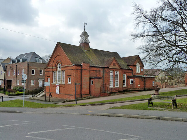
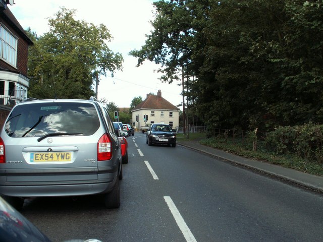
Bocking Churchstreet
Settlement in Essex Braintree
England
Bocking Churchstreet

Bocking Churchstreet is a small village located in the Braintree district of Essex, England. Situated approximately 2 miles north of the town of Braintree, it is known for its historical significance and charming rural character.
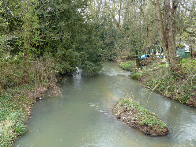
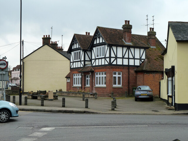
The village is primarily residential, with a population of around 1,200 people. It features a mix of traditional cottages, historic houses, and newer developments. Bocking Churchstreet is surrounded by picturesque countryside, offering residents and visitors beautiful views and ample opportunities for outdoor activities.
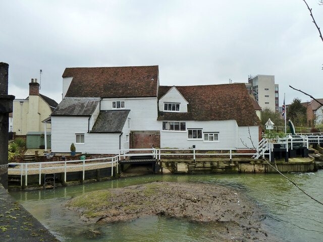
At the heart of the village is the Church of St. Mary the Virgin, a stunning medieval church that dates back to the 12th century. This Grade I listed building is known for its distinctive architecture, including a magnificent tower and a beautiful stained glass window. The church plays an important role in the local community, hosting regular services and events.
Bocking Churchstreet benefits from a strong sense of community, with various local amenities and organizations. These include a primary school, a village hall, a post office, and a handful of shops and pubs. The village also hosts several annual events and fairs, which bring residents together and attract visitors from neighboring areas.
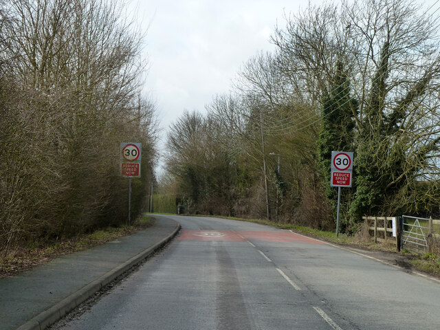
Despite its rural setting, Bocking Churchstreet enjoys good transport links, with easy access to the A120 road and nearby train stations. This makes it convenient for commuters and allows residents to explore the wider region.
In summary, Bocking Churchstreet is a charming village in Essex, offering a tranquil and picturesque environment with a rich history and strong community spirit.
If you have any feedback on the listing, please let us know in the comments section below.
Bocking Churchstreet Images
Images are sourced within 2km of 51.90359/0.562063 or Grid Reference TL7625. Thanks to Geograph Open Source API. All images are credited.


Bocking Churchstreet is located at Grid Ref: TL7625 (Lat: 51.90359, Lng: 0.562063)
Administrative County: Essex
District: Braintree
Police Authority: Essex
What 3 Words
///flown.hops.ramp. Near Braintree, Essex
Nearby Locations
Related Wikis

Bocking Windmill
Bocking Windmill or Bocking Churchstreet Windmill is a grade I listed post mill at Bocking, Essex, England which has been restored. == History == Although...
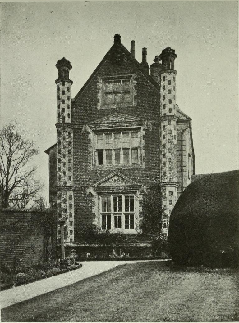
Doreward's Hall
Doreward's Hall is a partly brick and partly timber-framed and plastered house in Bocking, Essex, England. The house is said to have been rebuilt by Edward...

Braintree (UK Parliament constituency)
Braintree is a constituency in Essex represented in the House of Commons of the UK Parliament since 2015 by James Cleverly, a member of the Conservative...
High Garrett
High Garrett is a hamlet on the A131 road near the town of Braintree, Essex, England. In 2018 the settlement had an estimated population of 814. ��2�...
Nearby Amenities
Located within 500m of 51.90359,0.562063Have you been to Bocking Churchstreet?
Leave your review of Bocking Churchstreet below (or comments, questions and feedback).