St Paul's Cray
Settlement in Kent
England
St Paul's Cray
St Paul's Cray is a suburban area located in the London Borough of Bromley, in the county of Kent, England. Situated approximately 13 miles southeast of central London, it is part of the Greater London metropolitan area.
The area is named after the medieval St Paul's Church, which stands at its center and dates back to the 12th century. St Paul's Cray is bordered by the areas of Chislehurst to the north, Orpington to the east, and St Mary Cray to the south.
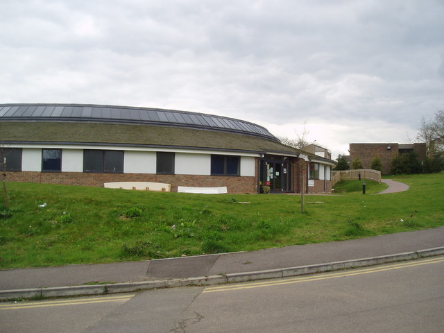
St Paul's Cray is primarily a residential area, characterized by a mix of housing types. It features a combination of traditional Victorian and Edwardian houses, as well as more modern developments. The area enjoys a peaceful and suburban atmosphere, with several green spaces and open fields, providing a pleasant environment for residents.
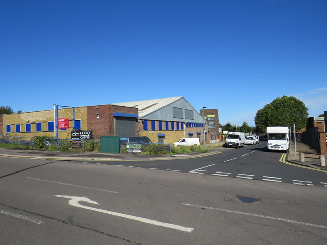
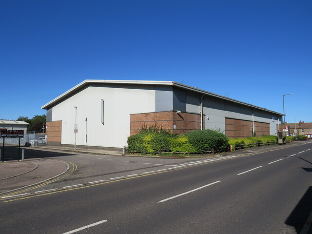
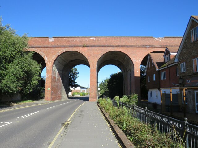
There are several amenities and facilities available in St Paul's Cray, including local shops, supermarkets, and a variety of small businesses. Nearby Nugent Shopping Park offers a range of retail outlets and restaurants. The area benefits from good transportation links, with St Mary Cray railway station providing regular train services to London Victoria and Blackfriars.
In terms of education, St Paul's Cray is home to a number of primary schools and secondary schools, catering to the needs of local families. The area also benefits from proximity to several parks and recreational areas, including Scadbury Park Nature Reserve and Foots Cray Meadows.
Overall, St Paul's Cray offers a peaceful residential environment with convenient access to both urban amenities and natural surroundings, making it an attractive place to live within the Greater London area.
If you have any feedback on the listing, please let us know in the comments section below.
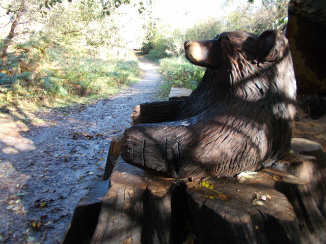
St Paul's Cray Images
Images are sourced within 2km of 51.402937/0.10046 or Grid Reference TQ4669. Thanks to Geograph Open Source API. All images are credited.


St Paul's Cray is located at Grid Ref: TQ4669 (Lat: 51.402937, Lng: 0.10046)
Unitary Authority: Bromley
Police Authority: Metropolitan
What 3 Words
///taped.soap.sticky. Near Sidcup, London
Nearby Locations
Related Wikis

Bromley Rural District
Bromley was a rural district in north-west Kent, England from 1894 to 1934. Its area now forms part of the London Borough of Bromley in Greater London...
Walsingham School
The Walsingham School was a secondary school located in the St Paul's Cray area of the London Borough of Bromley, England. == History == The school originally...
St Paul's Cray
St Paul's Cray is an area of South East London, England, within the London Borough of Bromley in Greater London. Prior to 1965 it was within the historic...

Manor of Scadbury
Scadbury is a historic manor in the parish of Chislehurst in the London Borough of Bromley, England. Much of the estate is preserved today as Scadbury...
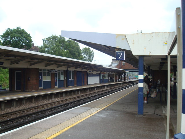
St Mary Cray railway station
St Mary Cray railway station is in St Mary Cray, South East London within the London Borough of Bromley. It is 14 miles 57 chains (23.7 km) down the line...
Orpington Urban District
Orpington was an English local government district in northwest Kent from 1934 to 1965 around the town of Orpington. It was a suburb of London and formed...

Scadbury Park
Scadbury Park is a Local Nature Reserve in Chislehurst in the London Borough of Bromley. It is also a Site of Metropolitan Importance for Nature Conservation...
Kemnal Technology College
Kemnal Technology College is a boys and girls secondary school located in St Paul's Cray, London, England. == History == The school was first established...
Nearby Amenities
Located within 500m of 51.402937,0.10046Have you been to St Paul's Cray?
Leave your review of St Paul's Cray below (or comments, questions and feedback).