St Johns
Settlement in Yorkshire
England
St Johns
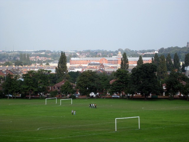
St Johns is a small village located in the county of Yorkshire, England. Situated in the district of Ryedale, it lies approximately 5 miles west of the market town of Malton. The village is surrounded by picturesque countryside, with rolling hills and fields that provide a tranquil and scenic setting.
St Johns is known for its charming and traditional architecture, with many of its buildings dating back several centuries. The village church, after which the village is named, is a prominent feature and serves as a focal point for the community. It is a beautiful example of Gothic Revival architecture and is well-maintained, attracting visitors from near and far.
The village has a close-knit and friendly community, with a population of around 300 residents. It offers a peaceful and idyllic lifestyle, away from the hustle and bustle of larger towns and cities. The residents take pride in their village and actively participate in community events and activities.
Although small in size, St Johns has a few amenities to cater to the needs of its residents. These include a village hall, a primary school, and a local pub, which serves as a meeting place for locals and visitors alike. There are also several footpaths and bridleways that surround the village, making it an ideal location for outdoor enthusiasts and walkers.
St Johns is well-connected to nearby towns and cities, with regular bus services and good road links. It offers a perfect blend of rural living and accessibility to larger urban areas, making it an attractive place to live for those seeking a peaceful and close-knit community in the heart of Yorkshire's stunning countryside.
If you have any feedback on the listing, please let us know in the comments section below.
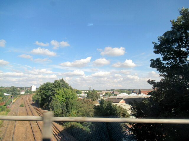
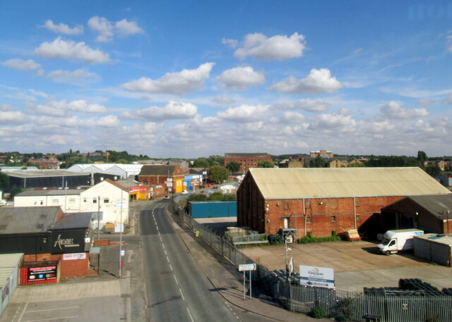
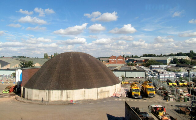
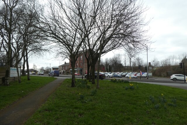
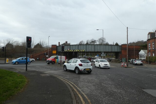
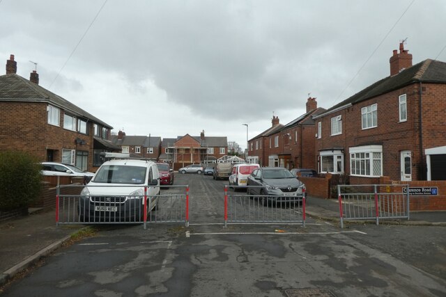
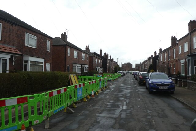
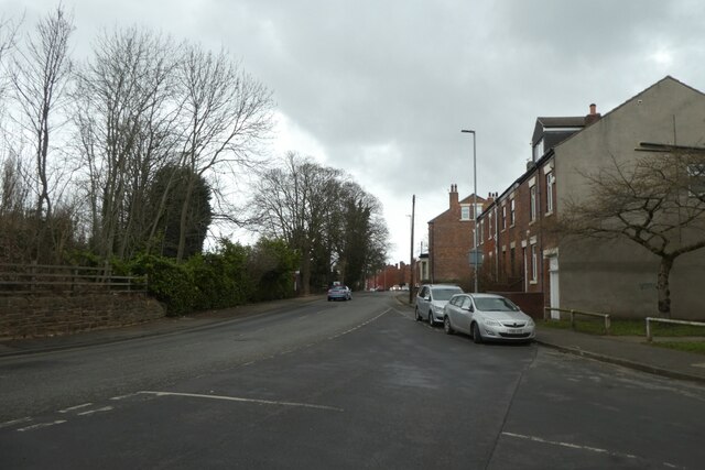
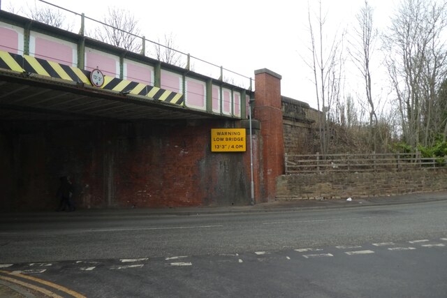
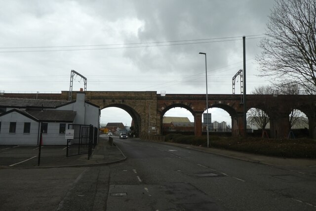
St Johns Images
Images are sourced within 2km of 53.6859/-1.5074856 or Grid Reference SE3221. Thanks to Geograph Open Source API. All images are credited.


St Johns is located at Grid Ref: SE3221 (Lat: 53.6859, Lng: -1.5074856)
Division: West Riding
Unitary Authority: Wakefield
Police Authority: West Yorkshire
What 3 Words
///eaten.career.oven. Near Wakefield, West Yorkshire
Nearby Locations
Related Wikis
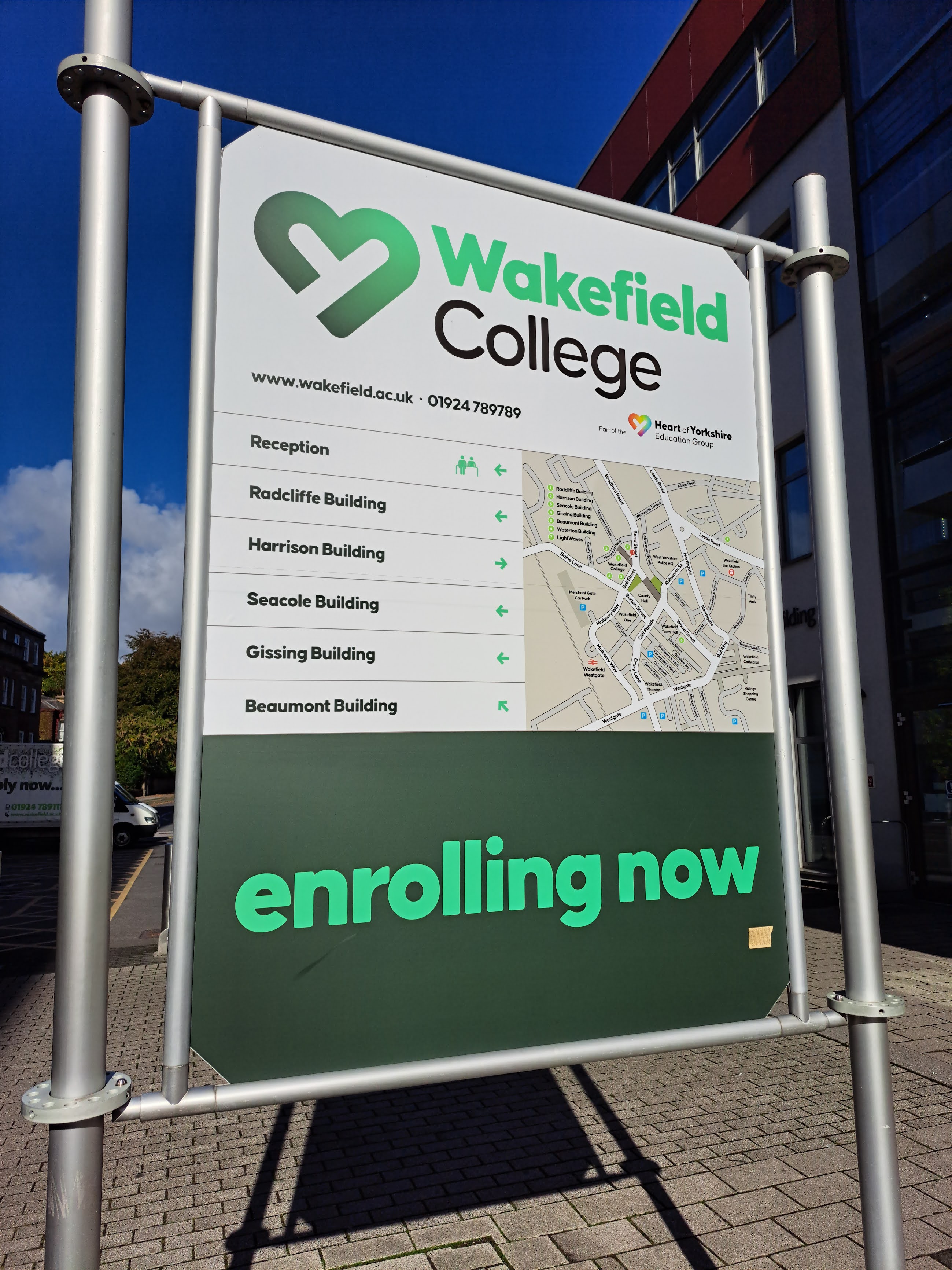
Wakefield College
Wakefield College is a Further Education and Higher Education College in Wakefield, West Yorkshire, England. It has provided education in the city since...

Wakefield Girls' High School
Wakefield Girls' High School (WGHS) is an independent school in Wakefield, England, established in 1878 in Wentworth House. The initial enrolment of 59...

St John the Baptist's Church, Wakefield, West Yorkshire
The Church of Saint John the Baptist in Wakefield, West Yorkshire, England is an active Anglican parish church in the archdeaconry of Wakefield and the...
Wakefield One
Wakefield One is a building in the city centre of Wakefield, a city in West Yorkshire, in England. The four-storey building was commissioned by Wakefield...

Clayton Hospital
Clayton Hospital was a health facility in Wentworth Street, Wakefield, West Yorkshire, England. It was managed by The Mid Yorkshire Hospitals NHS Trust...

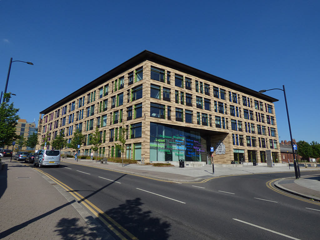
County Hall, Wakefield
County Hall or West Riding County Hall stands at the corner of Bond Street and Cliff Parade in Wakefield, West Yorkshire, England. It is the main headquarters...
HM Prison Wakefield
His Majesty's Prison Wakefield is a Category A men's prison in Wakefield, West Yorkshire, England, operated by His Majesty's Prison Service. The prison...
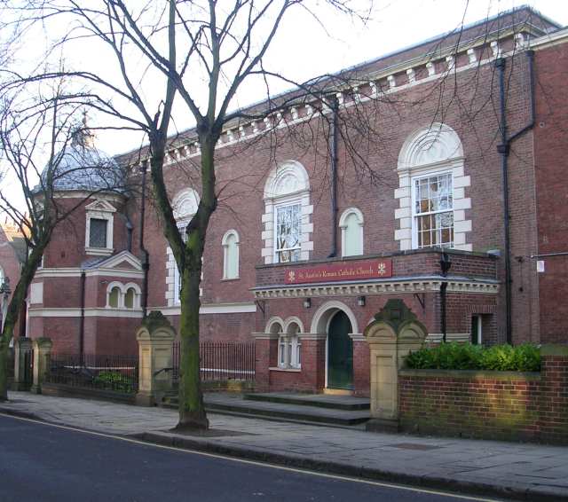
St Austin's Church, Wakefield
St Austin's Church is a Roman Catholic Church building in Wakefield, England. It is situated near where Northgate meets Marsh Way close to the city centre...
Nearby Amenities
Located within 500m of 53.6859,-1.5074856Have you been to St Johns?
Leave your review of St Johns below (or comments, questions and feedback).