Boarsgreave

Settlement in Lancashire Rossendale

England

Boarsgreave

Former Trackbed of Quarry Railway This section of Siddalls quarry railways ran from Law Head to Greens. Law Head is in the distance in this view.
Former Trackbed of Quarry Railway Credit: Kevin Waterhouse

Boarsgreave is a small village located in the county of Lancashire, England. Situated approximately 6 miles north of the town of Burnley, it falls within the borough of Rossendale. Nestled in the Rossendale Valley, Boarsgreave offers a picturesque setting with rolling hills and scenic countryside.

The village is known for its rural charm and close-knit community. It is primarily a residential area, with a population of around 500 people. The village is characterized by a mix of traditional stone-built houses and newer developments, giving it a blend of old-world charm and modern convenience.

Despite its small size, Boarsgreave has a rich history, dating back to the medieval period. The village was mentioned in the Domesday Book of 1086 and has retained some of its historic character. The surrounding area is dotted with remnants of the region's industrial past, including old mills and quarries, which add to the village's unique appeal.

Boarsgreave is well-connected to neighboring towns and cities. The A56 road runs nearby, providing easy access to Burnley and Manchester. Public transportation options are also available, with regular bus services connecting the village to the wider region.

The village boasts a strong sense of community, with various local amenities and activities. These include a village hall, which serves as a hub for social events and gatherings, as well as a primary school, ensuring that families have access to essential services. Additionally, the surrounding countryside offers ample opportunities for outdoor activities such as walking, hiking, and cycling.

Overall, Boarsgreave offers a tranquil and idyllic setting, making it an attractive place to live for those seeking a peaceful village lifestyle within close proximity to larger towns and cities.

If you have any feedback on the listing, please let us know in the comments section below.
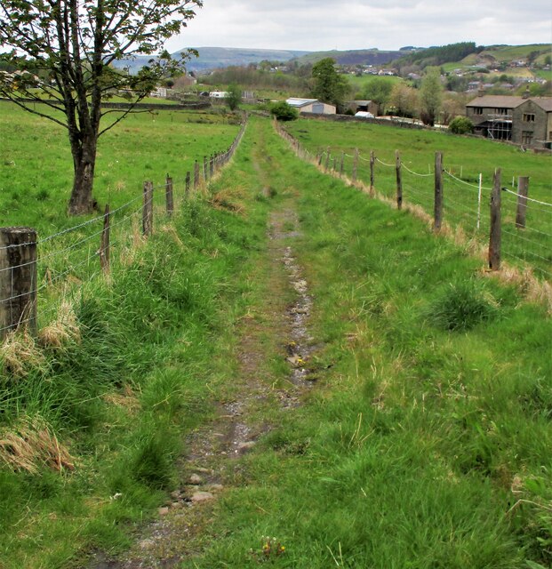
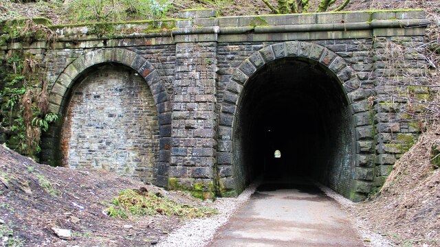
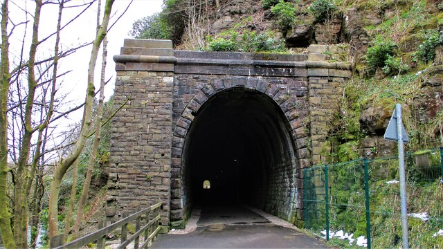
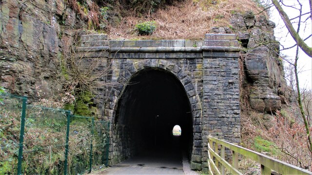
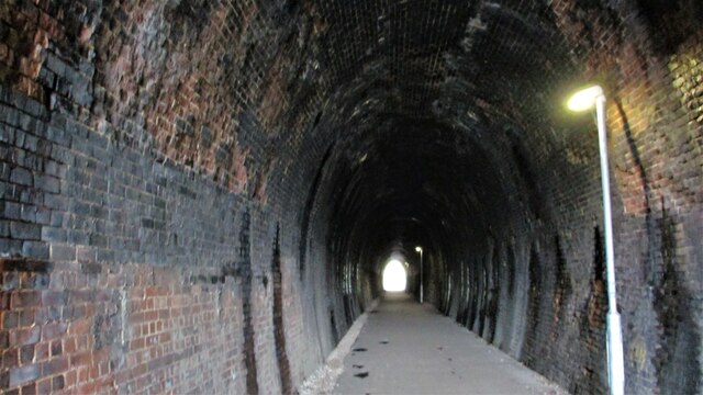
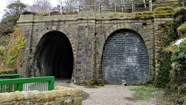
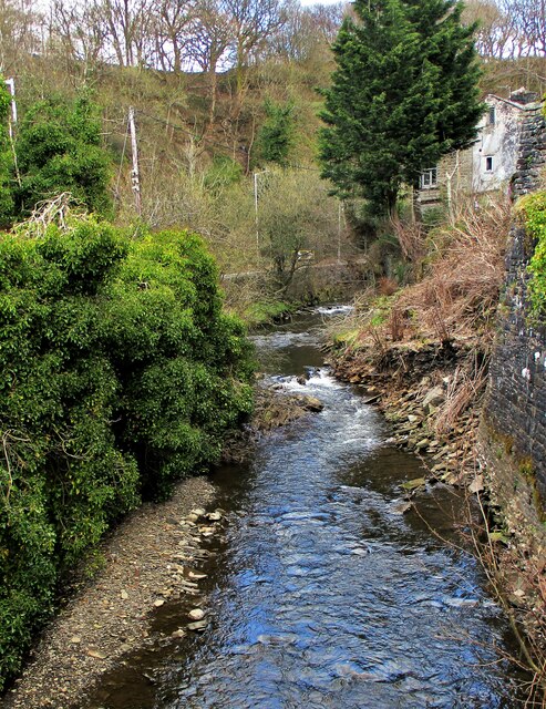
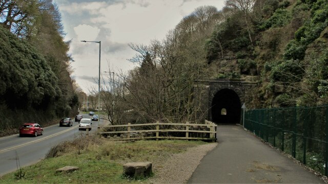
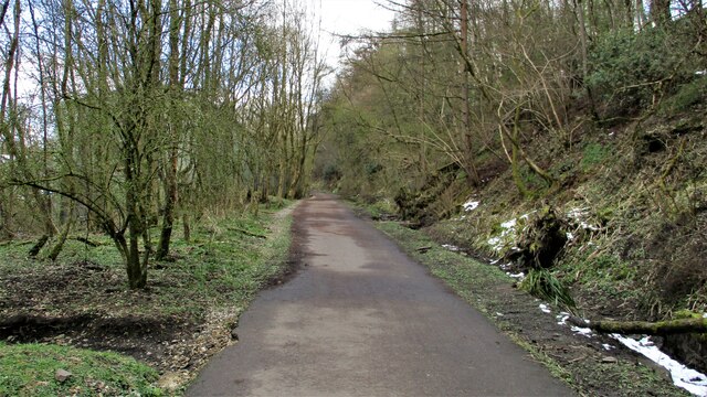
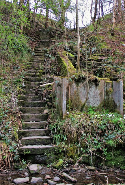
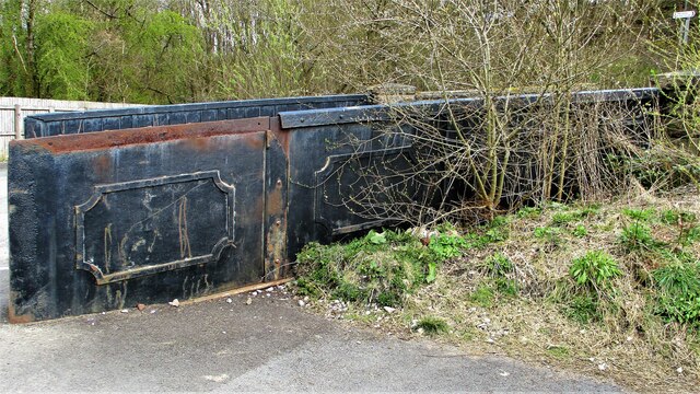
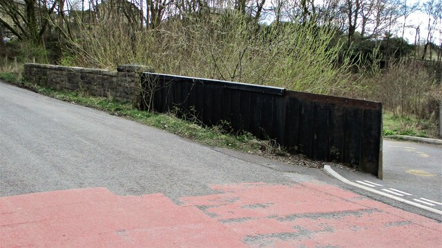
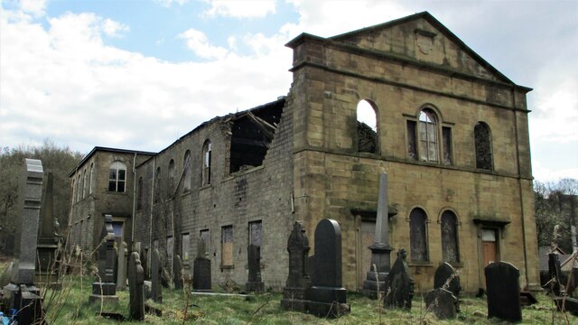
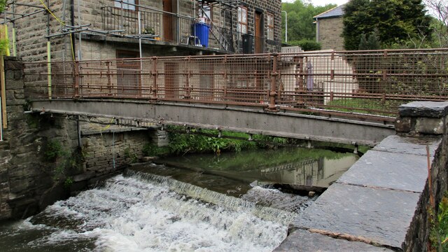
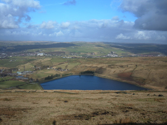
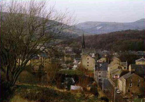
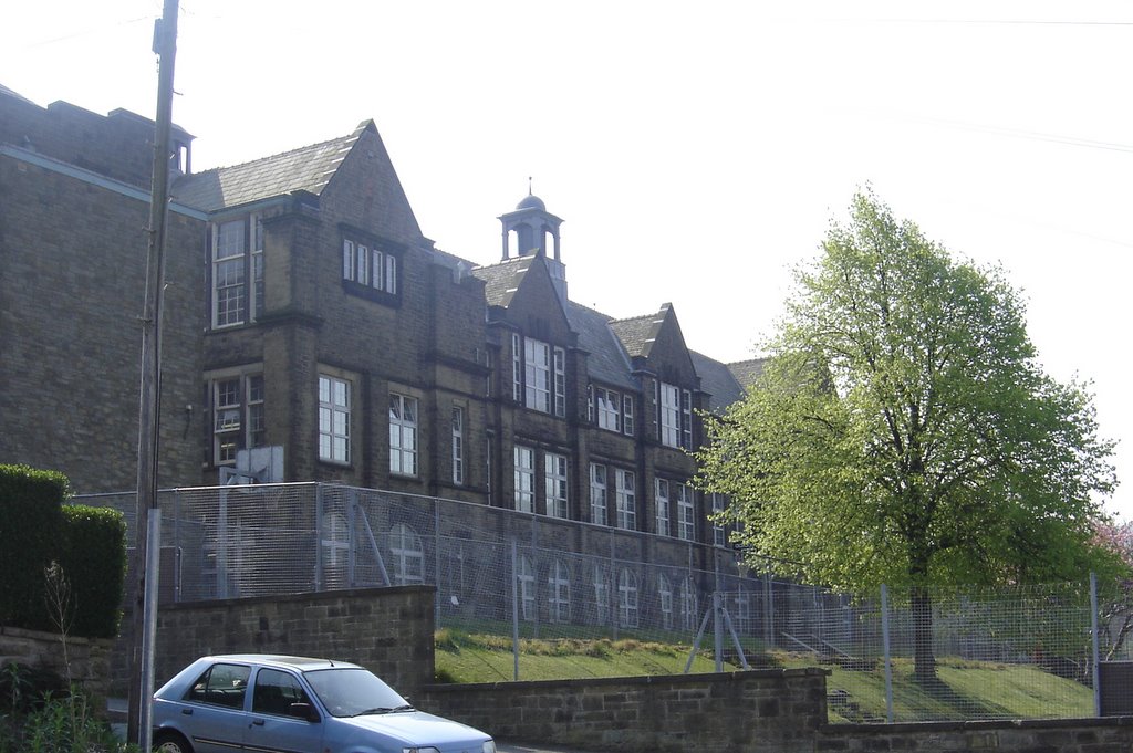
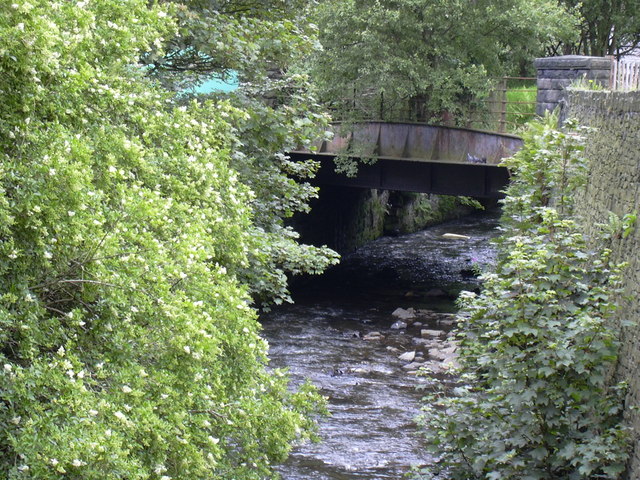
Boarsgreave Images

Images are sourced within 2km of 53.676219/-2.2436838 or Grid Reference SD8420. Thanks to Geograph Open Source API. All images are credited.

Former Trackbed of Quarry Railway This section of Siddalls quarry railways ran from Law Head to Greens. Law Head is in the distance in this view.
Former Trackbed of Quarry Railway
This section of Siddalls quarry railways ran from Law Head to Greens. Law Head is in the distance in this view.
Cyclepath through Newchurch No.2 Tunnel View West on newly laid cyclepath with the blocked Thrutch Tunnel to the left
Cyclepath through Newchurch No.2 Tunnel
View West on newly laid cyclepath with the blocked Thrutch Tunnel to the left
Cyclepath through Newchurch No.2 Tunnel The West portal of the railway tunnel
Cyclepath through Newchurch No.2 Tunnel
The West portal of the railway tunnel
Cyclepath through Newchurch No.1 Tunnel View West through the tunnel
Cyclepath through Newchurch No.1 Tunnel
View West through the tunnel
Cyclepath inside Newchurch No.1 Tunnel View East through the tunnel, with lighting provision
Cyclepath inside Newchurch No.1 Tunnel
View East through the tunnel, with lighting provision
Cyclepath West entrance to Newchurch No.1 Tunnel New footbridge across River Irwell allows easy access. Blocked Thrutch tunnel to the right.
Cyclepath West entrance to Newchurch No.1 Tunnel
New footbridge across River Irwell allows easy access. Blocked Thrutch tunnel to the right.
River Irwell coming out of The Glen View of the river from the new footbridge on the Newchurch tunnel cyclepath
River Irwell coming out of The Glen
View of the river from the new footbridge on the Newchurch tunnel cyclepath
Road, River & Railway in The Glen The A681 Newchurch Road, the River Irwell in a culvert and the West portal of Newchurch No.2 tunnel all squeezed together
Road, River & Railway in The Glen
The A681 Newchurch Road, the River Irwell in a culvert and the West portal of Newchurch No.2 tunnel all squeezed together
Cyclepath East of Thrutch Tunnel Cyclepath view East along former railway towards Bacup. It is contoured in the hillside above the River Irwell at this point
Cyclepath East of Thrutch Tunnel
Cyclepath view East along former railway towards Bacup. It is contoured in the hillside above the River Irwell at this point
Steps in Railway Cutting near Waterbarn Mill The railway presumably had hillside water drainage problems and needed to climb out of the cutting. Old OS maps have a tank marked about here.
Steps in Railway Cutting near Waterbarn Mill
The railway presumably had hillside water drainage problems and needed to climb out of the cutting. Old OS maps have a tank marked about here.
Vertical Culvert in Railway Cutting This appears to be a drain from the hillside which has required substantial masonry. Near Waterbarn Mills
Vertical Culvert in Railway Cutting
This appears to be a drain from the hillside which has required substantial masonry. Near Waterbarn Mills
Metal Bridge Parapet on Rakehead Lane The railway bridge for Rakehead Lane has been infilled so the cyclepath has to cross the lane on the level
Metal Bridge Parapet on Rakehead Lane
The railway bridge for Rakehead Lane has been infilled so the cyclepath has to cross the lane on the level
Rakehead Lane Railway Bridge Parapets The former railway bridge which has been infilled has a metal and a masonry parapet
Rakehead Lane Railway Bridge Parapets
The former railway bridge which has been infilled has a metal and a masonry parapet
Waterbarn Baptist Chapel at risk The Grade II listed building appears at risk of collapse viewed from Brandwood Road
Waterbarn Baptist Chapel at risk
The Grade II listed building appears at risk of collapse viewed from Brandwood Road
Footbridge over the River Irwell, Waterbarn This metal bridge connects Waterbarn Lane with Newchurch Road
Footbridge over the River Irwell, Waterbarn
This metal bridge connects Waterbarn Lane with Newchurch Road
Cowpe Road
Cowpe Road
Quite a collection of items on this farm
Farm building, there is a benchmark hidden on the right
Show me another place!

Boarsgreave is located at Grid Ref: SD8420 (Lat: 53.676219, Lng: -2.2436838)

Administrative County: Lancashire

District: Rossendale

Police Authority: Lancashire

What 3 Words

///contracts.funny.single. Near Rossendale, Lancashire

Related Wikis

Cowpe

Cowpe is a hamlet in Rossendale, Lancashire, England. It lies in the South Pennines, north of Scout Moor Wind Farm, by the Pennine Bridleway. Rawtenstall...

Hail Storm Hill

Hail Storm Hill, also known as Cowpe Moss, is the highest point of the Rossendale Valley, England, an area of moorland and hill country situated between...

Borough of Rossendale

Rossendale () is a local government district with borough status in Lancashire, England. The council is based in Bacup and the largest town is Rawtenstall...

Waterfoot, Lancashire

Waterfoot is a historic mill town and civil parish in the Borough of Rossendale between Rawtenstall and Bacup in Lancashire, England. The B6238 road from...

Waterfoot railway station

Waterfoot railway station served Waterfoot, Rossendale near Rawtenstall, Lancashire, England from 1848 until the line closed in 1966. == History == The...

Bacup and Rawtenstall Grammar School

Bacup and Rawtenstall Grammar School (BRGS) is a selective co-educational academy grammar school in Waterfoot, Rossendale, Lancashire, England. The school...

Scout Moor Wind Farm

Scout Moor Wind Farm is the second largest onshore wind farm in England. The wind farm, which was built for Peel Wind Power Ltd, produces electricity from...

Stacksteads railway station

Stacksteads railway station served Stacksteads near Bacup, Rossendale, Lancashire, England from 1852 until the line closed in 1966. The station was just...

Nearby Amenities

Located within 500m of 53.676219,-2.2436838
Entrance: yes
Lat/Long: 53.6777526/-2.2368472
Generator Method: photovoltaic
Generator Output Electricity: yes
Generator Source: solar
Generator Type: solar_photovoltaic_panel
Location: roof
Power: generator
Lat/Long: 53.676929/-2.2444559
The data included in this document is from www.openstreetmap.org. The data is made available under ODbL.

Have you been to Boarsgreave?

Leave your review of Boarsgreave below (or comments, questions and feedback).