Cowpe
Settlement in Lancashire Rossendale
England
Cowpe
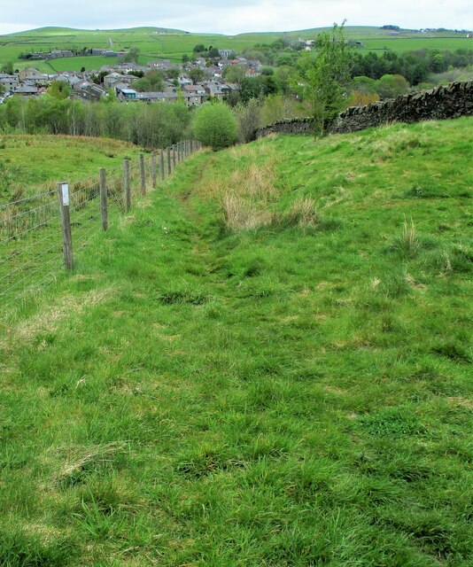
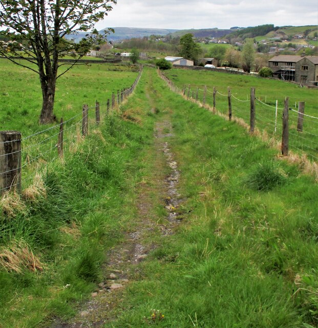
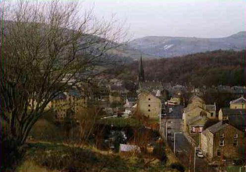
Cowpe is a small village located within the Rossendale district of Lancashire, England. Situated in the South Pennines, Cowpe is nestled in a picturesque valley surrounded by rolling countryside. The village is part of the larger town of Waterfoot, which lies about a mile to the northeast.
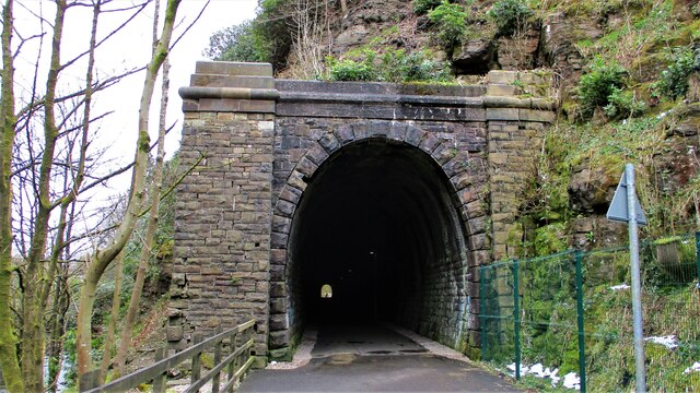
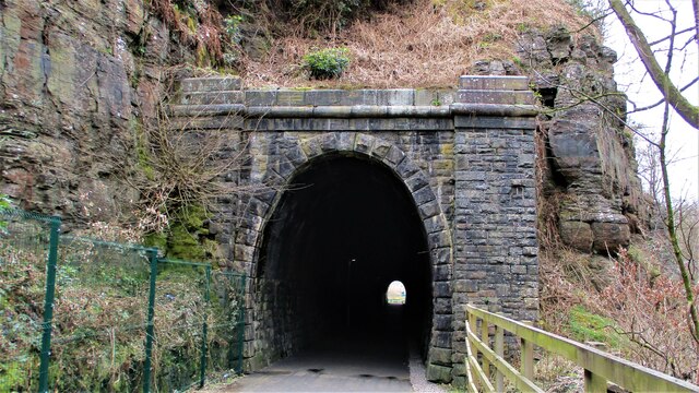
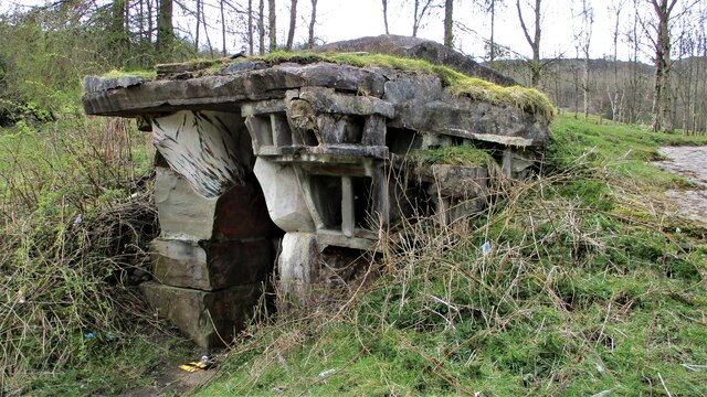
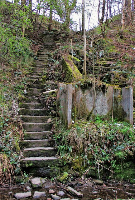
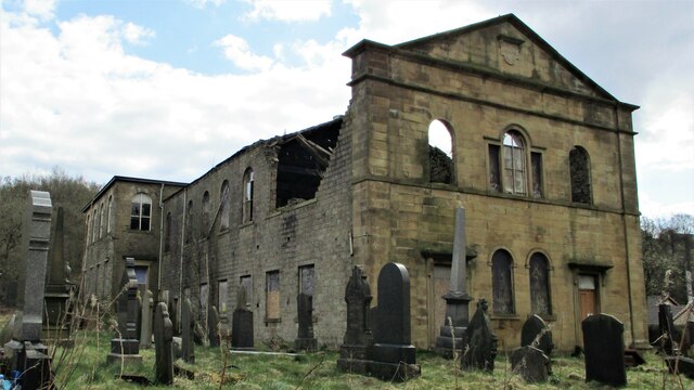
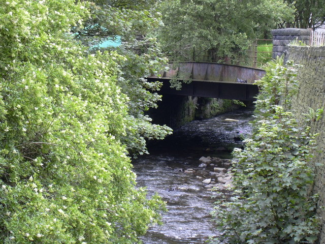
Cowpe is known for its rich industrial heritage, particularly in the cotton industry. During the 19th century, the village thrived as a textile manufacturing center, with several cotton mills operating in the area. Today, remnants of this industrial past can still be seen, with a few of the old mill buildings still standing.
The village itself is small and close-knit, with a population of around 200 residents. It consists mainly of traditional stone-built houses, giving it a charming and rustic feel. Despite its size, Cowpe has a strong sense of community, with various social events and activities taking place throughout the year.
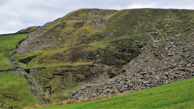
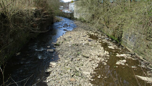
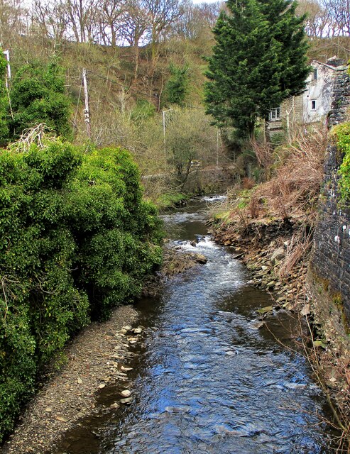
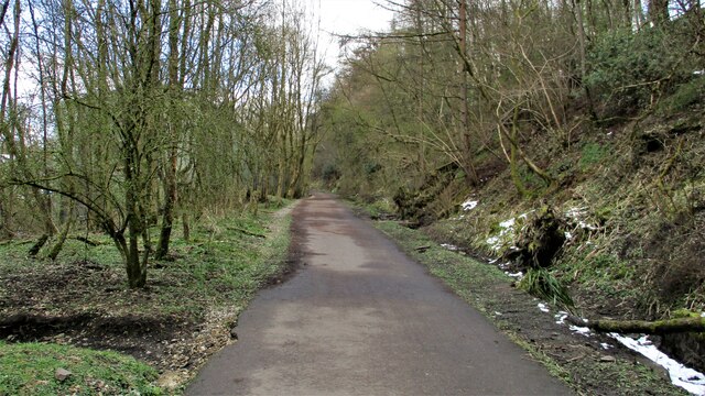
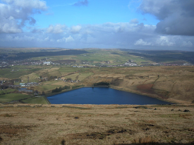
Nature lovers are drawn to Cowpe due to its proximity to the beautiful countryside. The village is surrounded by lush green hills, offering ample opportunities for hiking, walking, and exploring the countryside. The nearby Cowpe Reservoir is a popular spot for fishing and birdwatching.
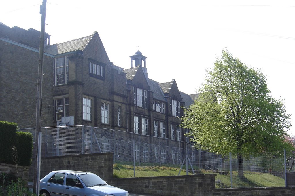
In terms of amenities, Cowpe has a small primary school, a community center, and a local pub. For more extensive facilities, residents can access the nearby town of Waterfoot, which offers a wider range of shops, supermarkets, and services.
Overall, Cowpe is a peaceful and idyllic village, offering a tranquil countryside setting while still being within reach of larger towns and amenities.
If you have any feedback on the listing, please let us know in the comments section below.
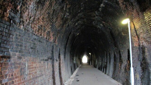
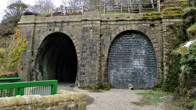
Cowpe Images
Images are sourced within 2km of 53.682418/-2.243123 or Grid Reference SD8420. Thanks to Geograph Open Source API. All images are credited.

Cowpe is located at Grid Ref: SD8420 (Lat: 53.682418, Lng: -2.243123)
Administrative County: Lancashire
District: Rossendale
Police Authority: Lancashire
What 3 Words
///consoles.custard.migrate. Near Rossendale, Lancashire
Nearby Locations
Related Wikis
Cowpe
Cowpe is a hamlet in Rossendale, Lancashire, England. It lies in the South Pennines, north of Scout Moor Wind Farm, by the Pennine Bridleway. Rawtenstall...

Borough of Rossendale
Rossendale () is a local government district with borough status in Lancashire, England. The council is based in Bacup and the largest town is Rawtenstall...
Waterfoot, Lancashire
Waterfoot is a historic mill town and civil parish in the Borough of Rossendale between Rawtenstall and Bacup in Lancashire, England. The B6238 road from...

Waterfoot railway station
Waterfoot railway station served Waterfoot, Rossendale near Rawtenstall, Lancashire, England from 1848 until the line closed in 1966. == History == The...
Bacup and Rawtenstall Grammar School
Bacup and Rawtenstall Grammar School (BRGS) is a selective co-educational academy grammar school in Waterfoot, Rossendale, Lancashire, England. The school...
Stacksteads railway station
Stacksteads railway station served Stacksteads near Bacup, Rossendale, Lancashire, England from 1852 until the line closed in 1966. The station was just...

Hail Storm Hill
Hail Storm Hill, also known as Cowpe Moss, is the highest point of the Rossendale Valley, England, an area of moorland and hill country situated between...
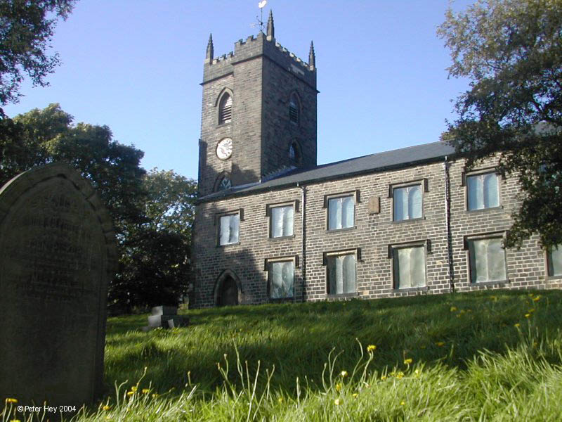
St Nicholas Church, Newchurch
St Nicholas Church in Newchurch, Lancashire, England, is an active Anglican parish church in the diocese of Manchester, founded in the early 16th century...
Nearby Amenities
Located within 500m of 53.682418,-2.243123Have you been to Cowpe?
Leave your review of Cowpe below (or comments, questions and feedback).